Elevation of Berry Street, Berry St, Hillsville, VA, USA

Location: United States > Virginia > Carroll County > Hillsville >

Longitude: -80.724227

Latitude: 36.7580095

Elevation: 767m / 2516feet

Barometric Pressure: 92KPa

Elevation Map:

elevation map of Berry Street, Berry St, Hillsville, VA, USA

Satellite Map:

Satellite map of Berry Street, Berry St, Hillsville, VA, USA

Related Photos:

view-
PARKWAY VIEW
View from the J. Sidna Allen House, Fancy Gap, Virginia
architecture building structure edifice house home white 19thcentury carterbuilding halewilkinsoncarter utilitylines mainstreet federalstyle brick raisedbasement store adaptivereuse inheritance tract modified roof dormer rearaddition stucco wraparoundporch twostory pediment historical 1845 1857 externalchimney window sash frame surround confederate warbetweenthestates civilwar renovation colonialstyle offices colonialdames metalroof cornice doriccolumns endgable brickflooring rockingchair metalrailings mass bulk symmetry wicker planter swags nationalregisterofhistoricplaces nrhp hillsville carrollcounty virginia
Wicker Rocking Chairs--Hale-Wilkinson-Carter Home, Hillsville, Va 10
breakfast eggs omelette cheese toast grits butter jelly grape table tisch cuiller couteau messer va virginia fancygap spoon camera food eat hot scene white view yellow biology bright delicious fresh kitchen love morning outofafghanistan nikon southern cook protein blanco amarillo
cheese omelette
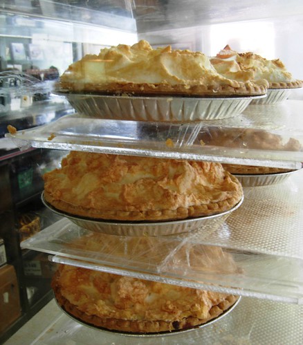
apple pie crust dessert restaurant virginia lemon sweet fat sugar va eggs hungry meringue baked nachtisch
pies, Fancy Gap, Virginia
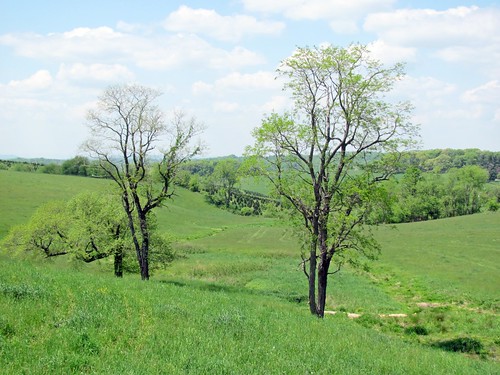
grass honeymoon
View from the porch
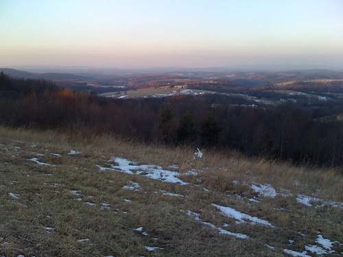
sunset virginia february 2008 fancygap beamersknob
View from Beamer's Knob
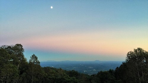
square squareformat stinson iphoneography instagramapp uploaded:by=instagram
1500 ft up. I absolutely love this view! I wish there was a scenic lookout. #coffmanclan
food cherry virginia cherries slow sweet orchard slowfood discussion tart piedmont picking ararat levering
View from the Orchard
instagramapp square squareformat iphoneography uploaded:by=instagram
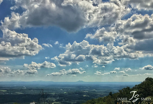
This is a view from one of the scenic overlooks along the Blue Ridge Parkway when I came back to Virginia from Winston-Salem. On the way north on I-77 as you leave North Carolina and approach the Virginia border the Blue Ridge clearly rises above the plai
jamiesmed 2018 iphone7plus shotoniphone autumn october virginia sky landscape clouds
IMG_5968.JPG
jamiesmed october iphone7plus shotoniphone autumn sky virginia 2018 landscape clouds
IMG_4125.JPG
jamiesmed 2018 iphone7plus shotoniphone autumn october virginia mextures sky landscape clouds
IMG_6092.JPG
jamiesmed virginia iphone7plus shotoniphone autumn october 2018 sky clouds landscape
IMG_2201.JPG
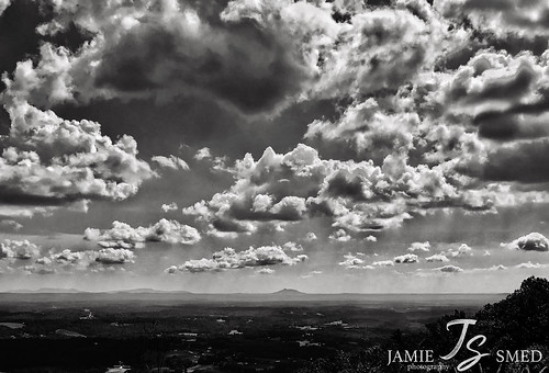
jamiesmed virginia bw blackwhite blackandwhite october sky clouds iphone7plus shotoniphone vsco autumn 2018 landscape
IMG_3931.JPG
Farm Wagons
jamiesmed shotoniphone virginia clouds iphone7plus october autumn 2018 sky landscape
IMG_5016.JPG
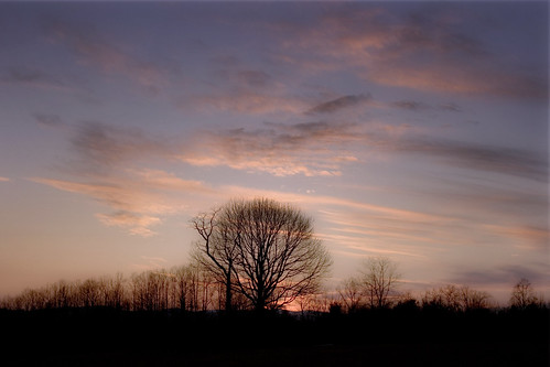
sunset sky tree virginia dream va dreamy 2011 carrollcountyva
Dreamy sunset
bee balm and daisies
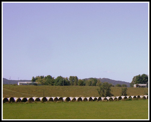
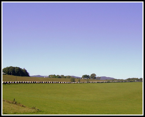
hayrolls carrollcounty keithhall fancygapva hillsvilleva
Hay Rolls, Fancy Gap Va, Carroll County
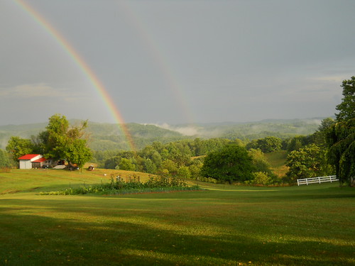
rainbow double
double rainbow
square squareformat sutro iphoneography instagramapp uploaded:by=instagram
Blue Ridge Mountain Moonrise #outdoors #virginia #gooutsideandplay
geo2012 uploaded:by=flickstagram instagram:photo=31677667199027038131101809
Field trip on disequilibrium landscapes. Very...
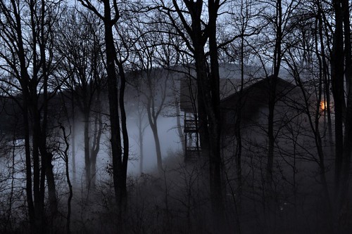
mountains landscape virginia cabin va blueridgemountains d90 fanygap
Haunted Cabin
square squareformat amaro iphoneography instagramapp uploaded:by=instagram foursquare:venue=4dcfc9137d8b975f18efbc92
The mountains of... Not sure which state I am in. Beautiful though!
mountains landscape virginia cabin view va blueridgemountains blueridge fancygap
Fancy Gap, Virginia
hayrolls carrollcounty keithhall fancygapva hillsvilleva
Hay Rolls, Fancy Gap Va, Carroll County
IMG00215-20100909-1440
summer mountains water creek river virginia rocky vintaged carrollcounty blueridgehighlands bigreedisland
Big Reed River