Elevation of 15 Up The Creek Lane, Hillsville, VA, USA

Location: United States > Virginia > Carroll County > Hillsville >

Longitude: -80.756572

Latitude: 36.8113008

Elevation: 701m / 2300feet

Barometric Pressure: 93KPa

Elevation Map:

elevation map of 15 Up The Creek Lane, Hillsville, VA, USA

Satellite Map:

Satellite map of 15 Up The Creek Lane, Hillsville, VA, USA

Related Photos:

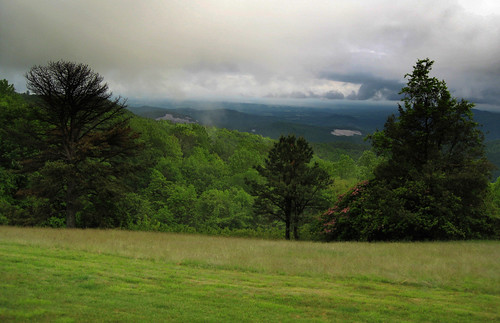
blue mountains clouds landscape ridge valley parkway
Blue Ridge Parkway View
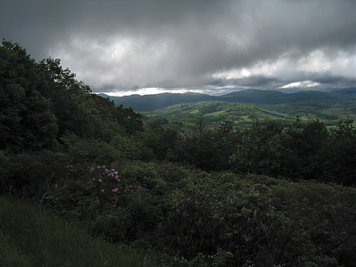
blue mountains clouds landscape ridge valley parkway
Blue Ridge Parkway View
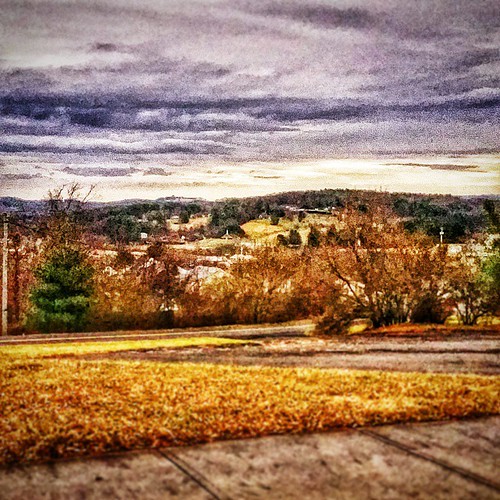
square squareformat stinson iphoneography instagramapp uploaded:by=instagram
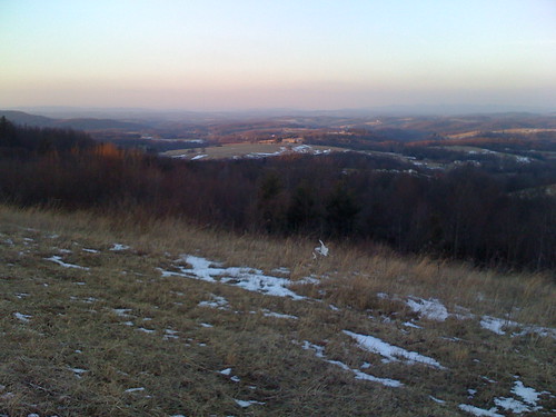
1500 ft up. I absolutely love this view! I wish there was a scenic lookout. #coffmanclan
virginia historicsites wythecountyva shottowerhistoricalstatepark jacksonferryshottower
Shot Tower Historical State Park, Wythe County (Va.), 4 August 1978
mountains virginia view widescreen va vista 2008 blueridgemountains mountian 1204 0412 366 041208 carrollcountyva 3662008
Top of the World
sunset virginia february 2008 fancygap beamersknob
View from Beamer's Knob
instagramapp square squareformat iphoneography uploaded:by=instagram
This is a view from one of the scenic overlooks along the Blue Ridge Parkway when I came back to Virginia from Winston-Salem. On the way north on I-77 as you leave North Carolina and approach the Virginia border the Blue Ridge clearly rises above the plai
virginia va jail jailhouse carrollcounty hillsville oldjailhouse bmok
Old Carroll County Jail - Hillsville, VA
statepark morning camping autumn trees mist green fall water leaves misty fog forest river landscape virginia woods nikon stream d70s dew va vr fosterfalls southwestvirginia newrivervalley 14200mm
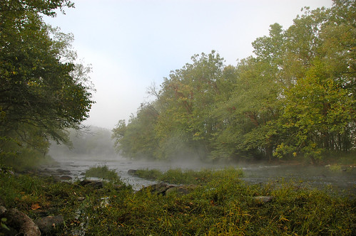
morning at foster falls
Robert D. Cook 2010 "Walking Home"
New River Trail 004
red fosterfalls southwestvirginia horsecorral newrivertrail virginiastateparks nikon28300vr
Springtime at Foster Falls Horse Livery
rural virginia countryside
Route 52 (18)
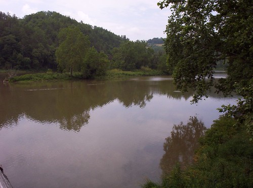
trees sky reflection water virginia nikon va fosterfalls newriver yabbadabbadoo newrivertrail wythecounty d5100 nikond5100
10-NewRiverFosterFalls
square squareformat iphoneography instagramapp uploaded:by=instagram
Gorgeous day in the mountains... #nature #weather #mountain #vacation
square squareformat iphoneography instagramapp uploaded:by=instagram
Hillsville, West Virginia. #theroadlesstraveled # landscape
square squareformat sutro iphoneography instagramapp uploaded:by=instagram
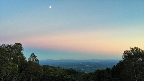
Blue Ridge Mountain Moonrise #outdoors #virginia #gooutsideandplay
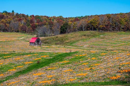
barn october pumpkinfarm 2014 ftchiswellva
IMGP8023.jpg
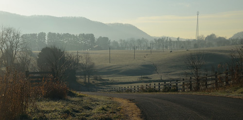
trees sky fence virginia nikon va frostymorning d5100 nikond5100
2-FrostyMorningNearShotTower
New River Trail 011
rural bokeh farm country meadow surreal pasture va dreamy wildflowers queenanneslace carrollcounty bokehlicious fencebokeh dugspur blueridgehighlands
Queen Anne's Lace in the Meadow
Biking the New River trail
New River Trail 025
hayrolls carrollcounty keithhall fancygapva hillsvilleva
Hay Rolls, Fancy Gap Va, Carroll County
hayrolls carrollcounty keithhall fancygapva hillsvilleva
Hay Rolls, Fancy Gap Va, Carroll County