Elevation of Berry St, Pine Grove, CA, USA
Location: United States > California > Amador County > Pine Grove >
Longitude: -120.66333
Latitude: 38.4156978
Elevation: 764m / 2507feet
Barometric Pressure: 92KPa
Elevation Map:
Satellite Map:
Related Photos:
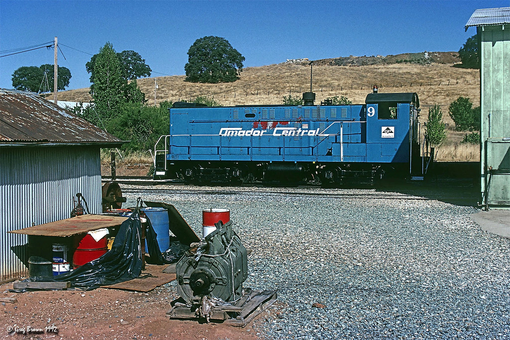
Amador Central - First Visit

Miwok Ceremonial Roundhouse, 6 of 6

Indian Grinding Rock

Panorama from the Mokelumne Hill Airstrip

Rainy view of our 2004 30' Classic Airstream
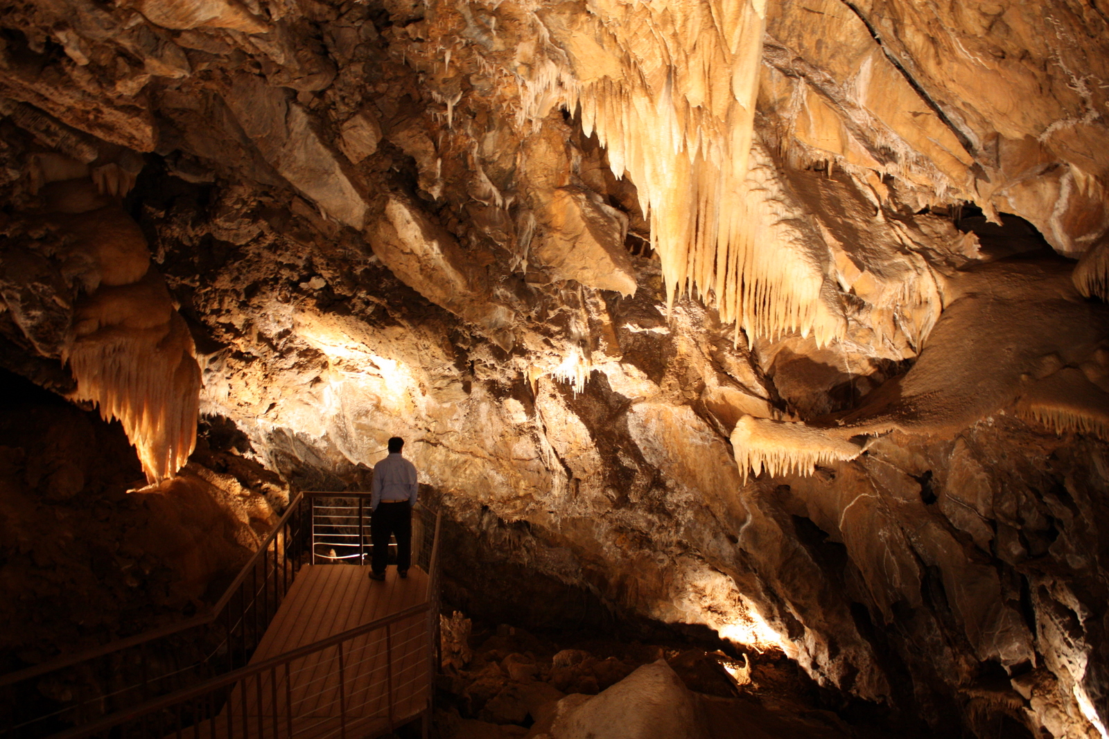
Black Chasm Cavern

Miwok Ceremonial Roundhouse, 4 of 6

Miwok Ceremonial Roundhouse, 5 of 6
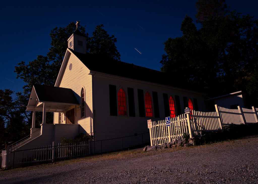
St. Bernard's Church

Miwok Ceremonial Roundhouse, 2 of 6
This is the view from my grandpa's front porch. I wouldn't mind waking up to this every morning. #photooftheday

Nice Mountain View 1
Nice View 3

Nice View 2

Digital watercolor Old Kennedy Gold Mine Equipment

Old Kennedy Gold Mine Equipment HDR

Looking east towards the mountains

Little Church in the Sierra Nevada Foothills HDR

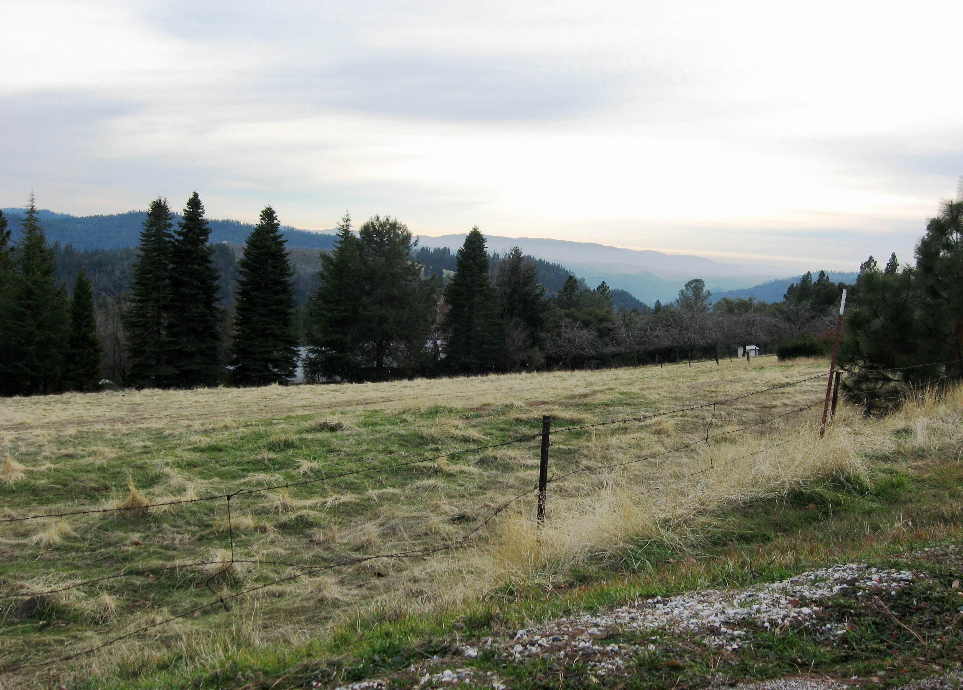
Happy Fence Friday

Looking east towards the mountains

Sierra Nevada Foothills HDR

The Veins of an Oak at Sunset - Sutter Creek, CA

From Sutter Creek***

Outside Amador City
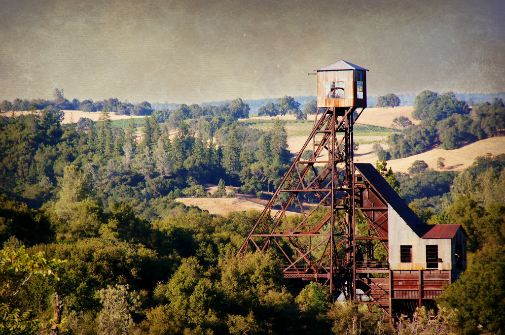
Kennedy Goldmine Headframe

Black Chasm Cave Tour
Jackson Butte from Mokelumne Hill Airstrip (2)

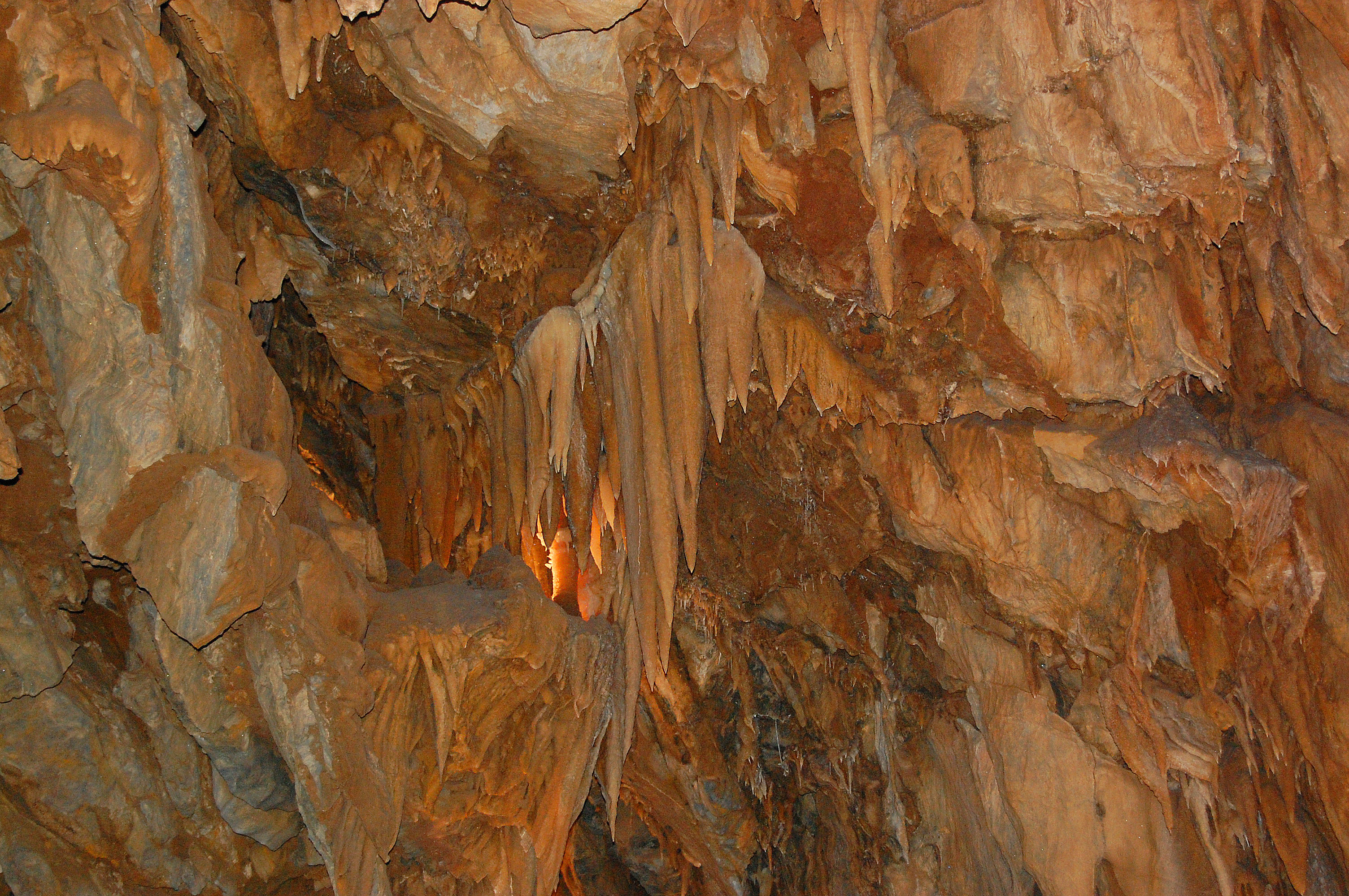
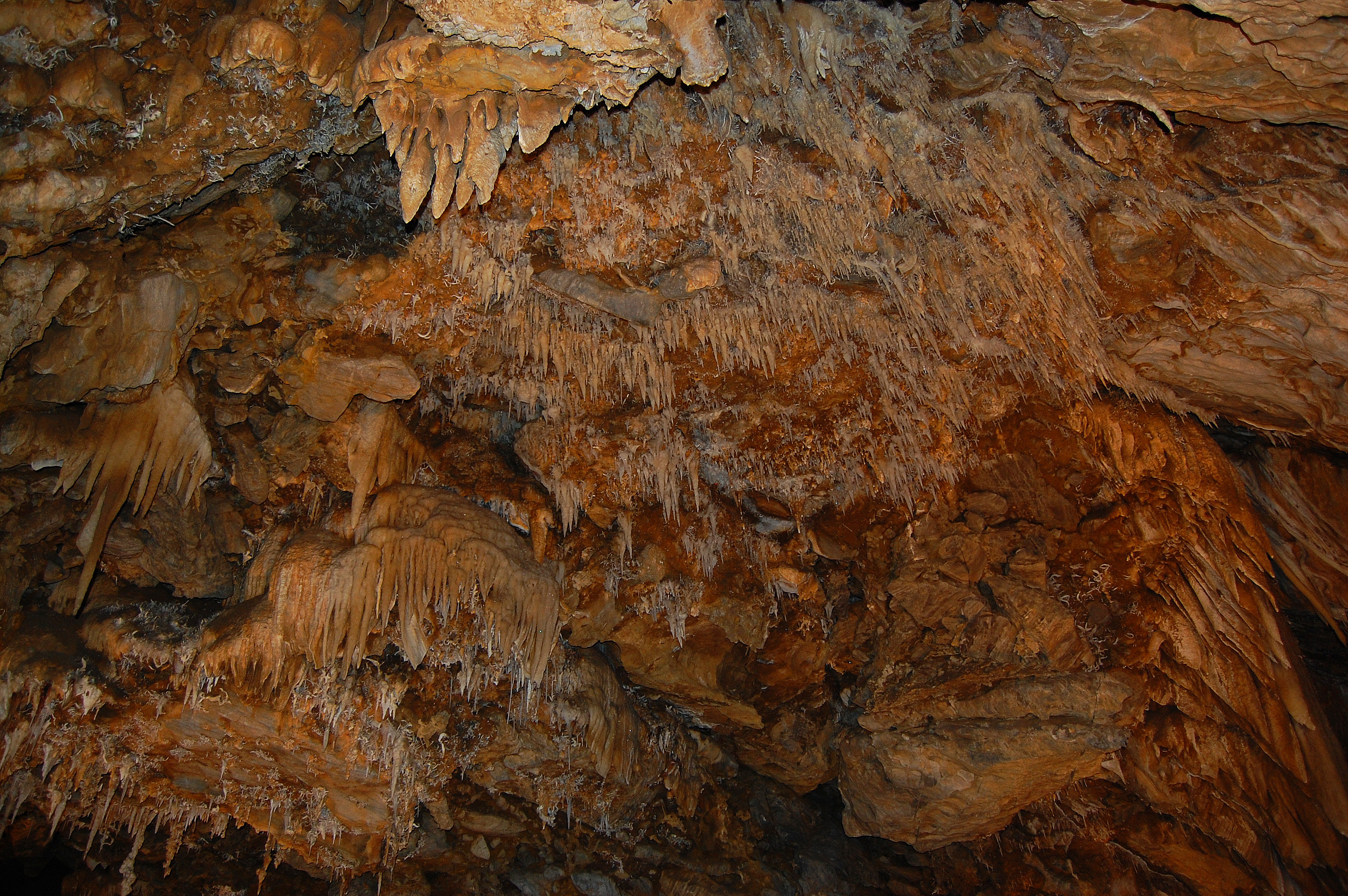
Drapery Stalactites

Railroad Flat

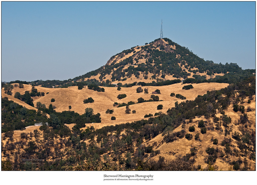
Jackson Butte from Mokelumne Hill
Black Chasm Cavern
Black Chasm Cavern, National Natural Landmark

Black Chasm Cavern

Stalactites & Helictites
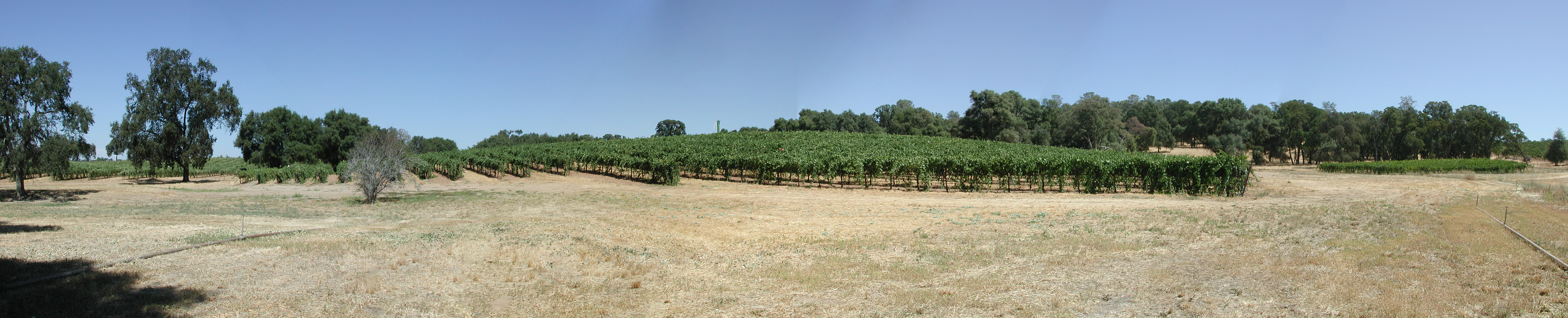
Montevina Winery Panorama

Black Chasm Caverns
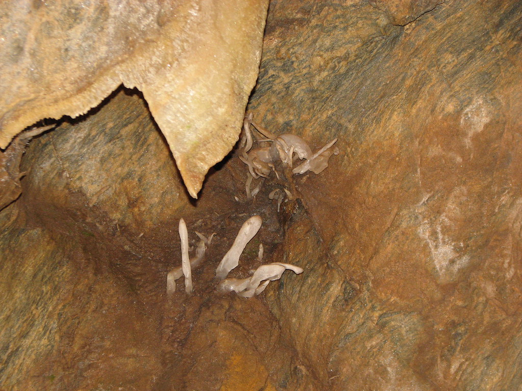
Black Chasm Cavern - soda straw rock formations

Black Chasm Cavern

Black Chasm Caverns
Topographic Map of Berry St, Pine Grove, CA, USA
Find elevation by address:

Places near Berry St, Pine Grove, CA, USA:
19530 Berry St
19660 Ca-88
Pine Cone Drug
19600 Ca-88
Brent & Jeff's Upcountry Hardware
19539 Berry St
Aces Transfer Station
Atm (pine Grove Stage Stop)
Pine Grove Market
Pine Grove
California 88 & Ridge Road
California 88 & Ridge Road
Pine Grove Community Park
Dollar General
19895 Ca-88
19297 Ridge Rd
Bank Of Stockton (pine Grove)
Pine Grove Volcano Road & Crestview Drive
14446 Knoll Ct
14424 Knoll Ct
Recent Searches:
- Elevation of Corso Fratelli Cairoli, 35, Macerata MC, Italy
- Elevation of Tallevast Rd, Sarasota, FL, USA
- Elevation of 4th St E, Sonoma, CA, USA
- Elevation of Black Hollow Rd, Pennsdale, PA, USA
- Elevation of Oakland Ave, Williamsport, PA, USA
- Elevation of Pedrógão Grande, Portugal
- Elevation of Klee Dr, Martinsburg, WV, USA
- Elevation of Via Roma, Pieranica CR, Italy
- Elevation of Tavkvetili Mountain, Georgia
- Elevation of Hartfords Bluff Cir, Mt Pleasant, SC, USA