Elevation of Benton Rd, Benton, NB E7N 2W6, Canada
Location: Canada > New Brunswick > Carleton County > Woodstock > Benton >
Longitude: -67.606411
Latitude: 45.9899356
Elevation: 130m / 427feet
Barometric Pressure: 100KPa
Elevation Map:
Satellite Map:
Related Photos:

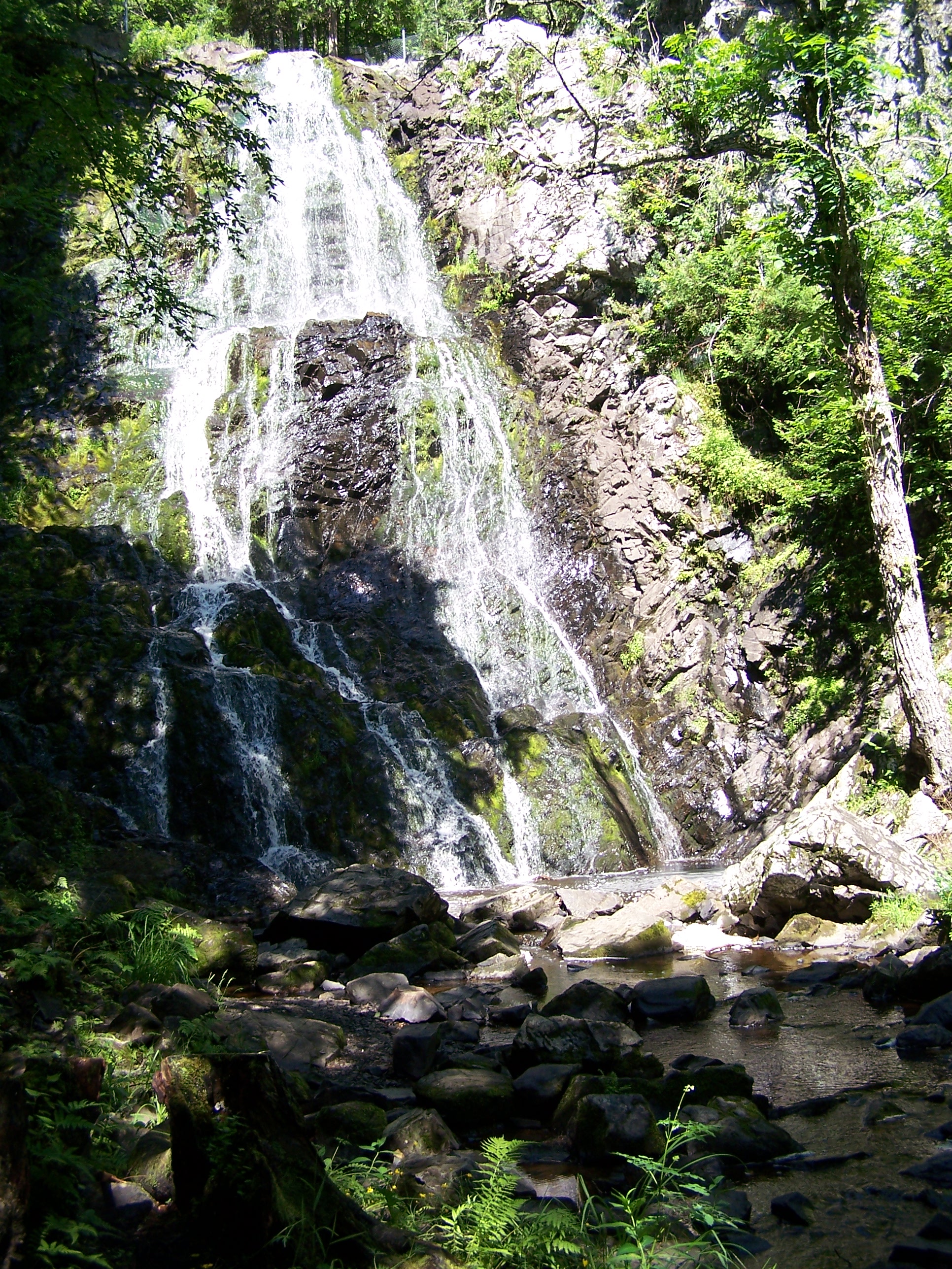
Maliseet Trail, NB
IMG_2924.CR2
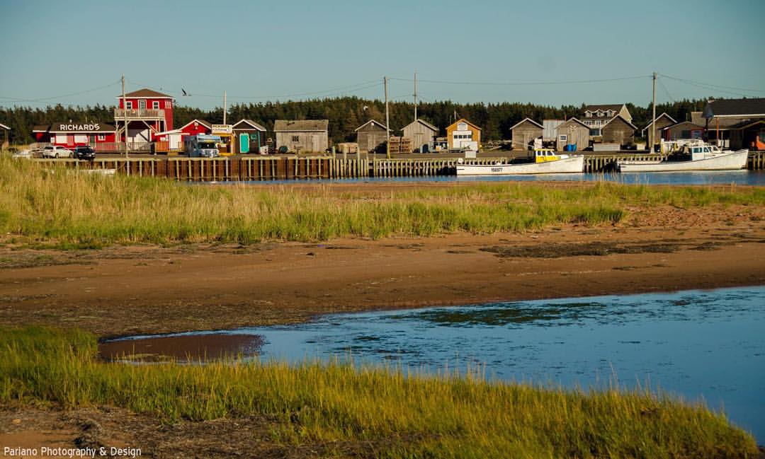
#ParianoPhotography #pei #princeedwardisland #fishingvillage #unfiltered #roadtrip #travelingphotographer #canada @tourismpei @canadabeautiful @tourcanada @roadtripnation @roadtrippers @natgeo
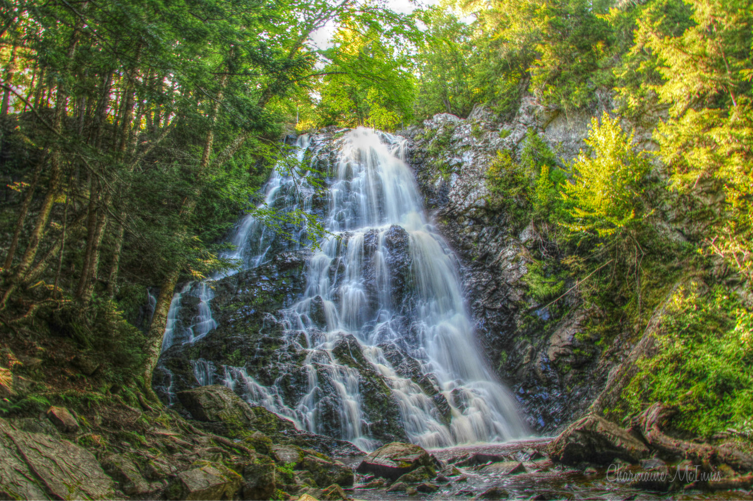
Hays Falls

Day 7, Halifax, NS - Kingfield, ME 052
Up River

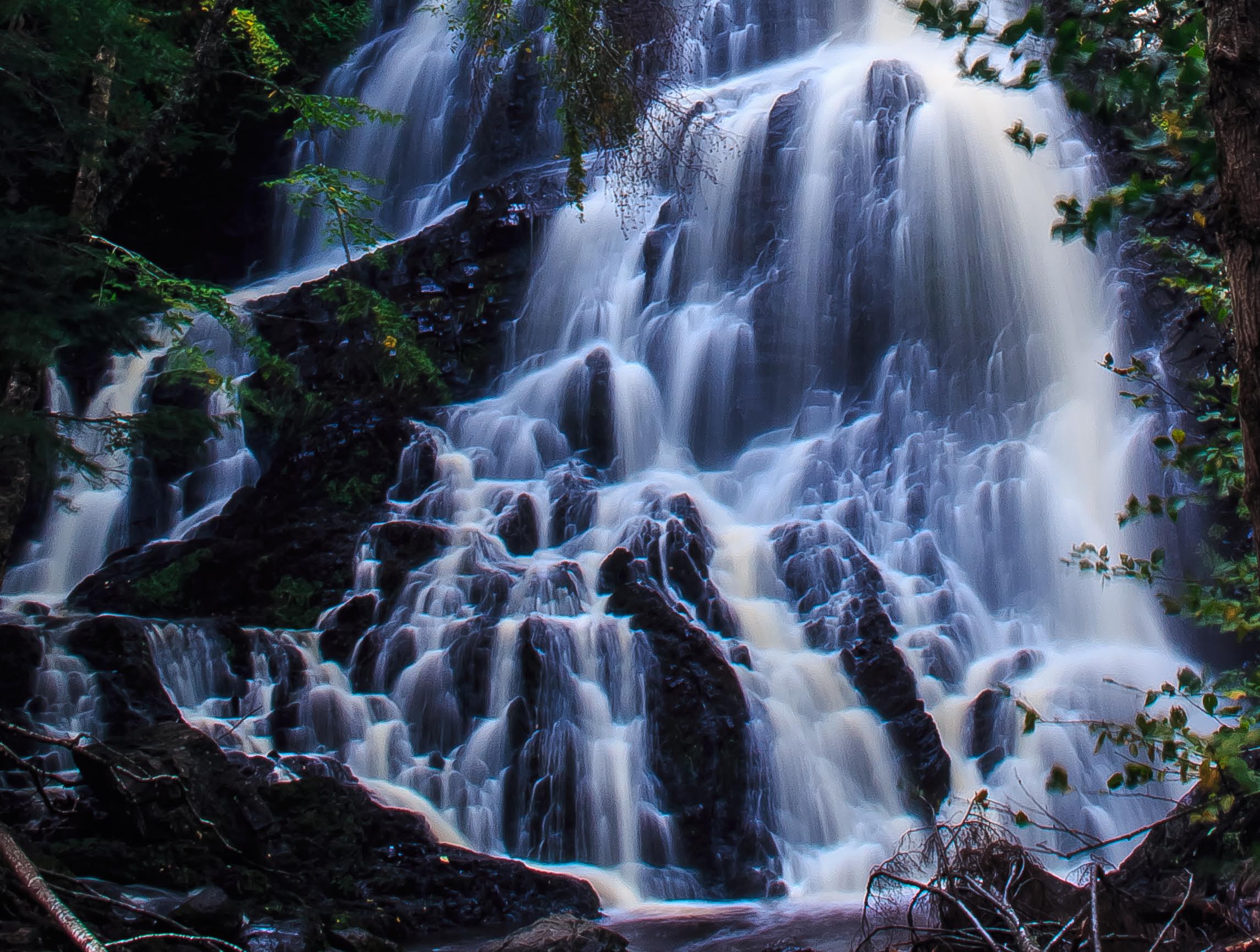
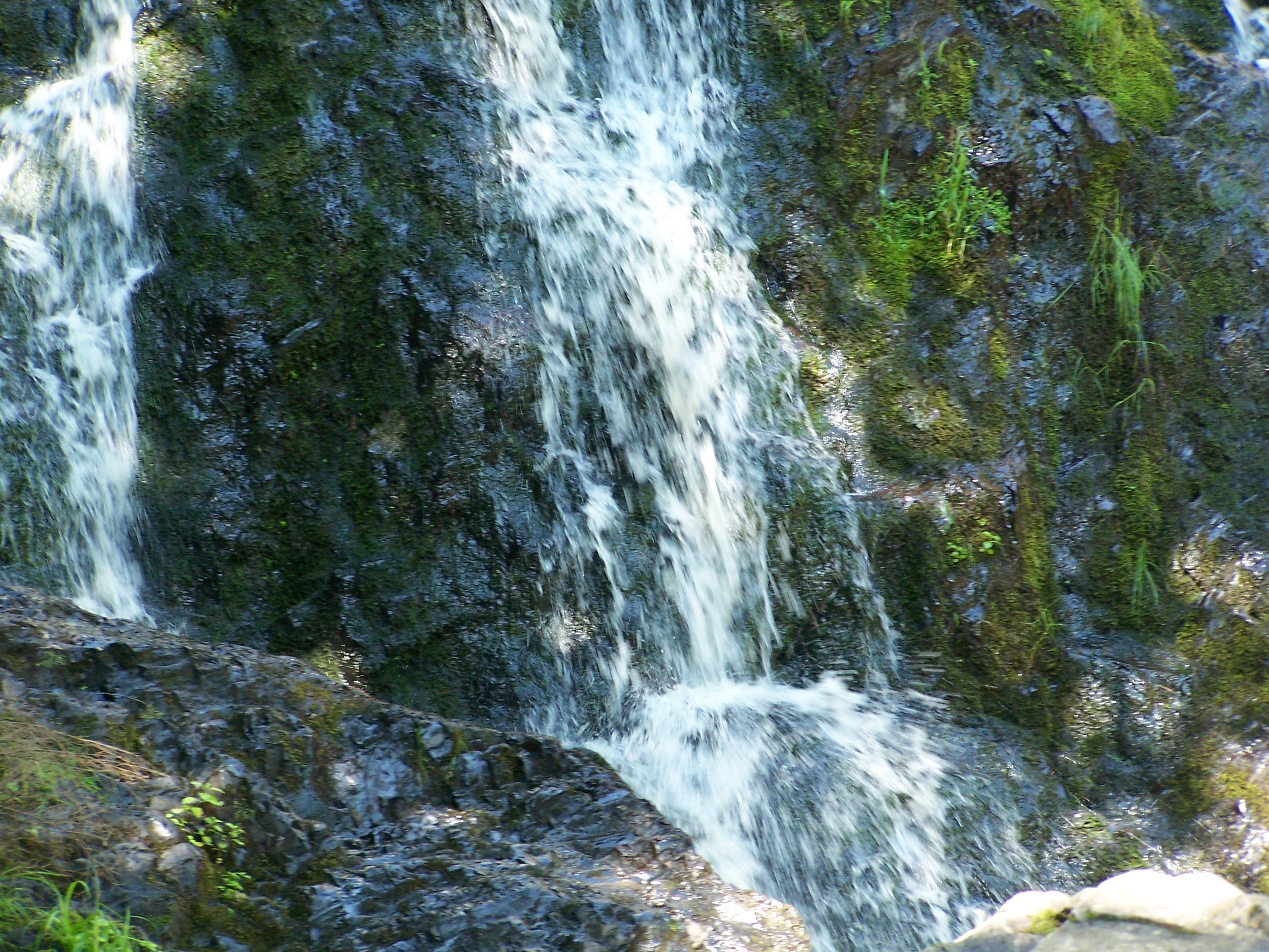
Waterfall on the Maliseet Trail 4
Waterfall, Maliseet Trail, New Brunswick
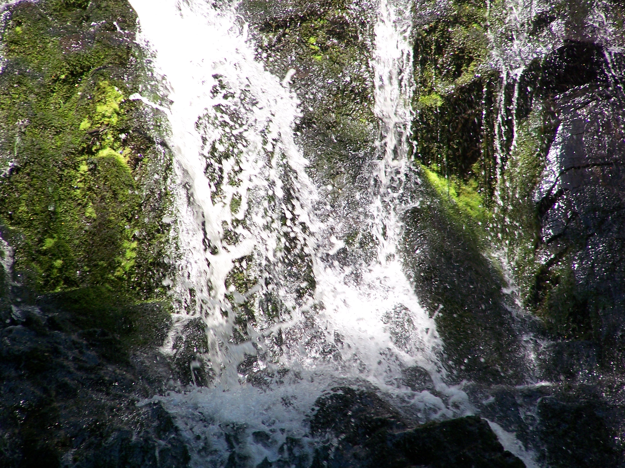
Waterfall on the Maliseet Trail 2
Waterfall on the Maliseet Trail 3
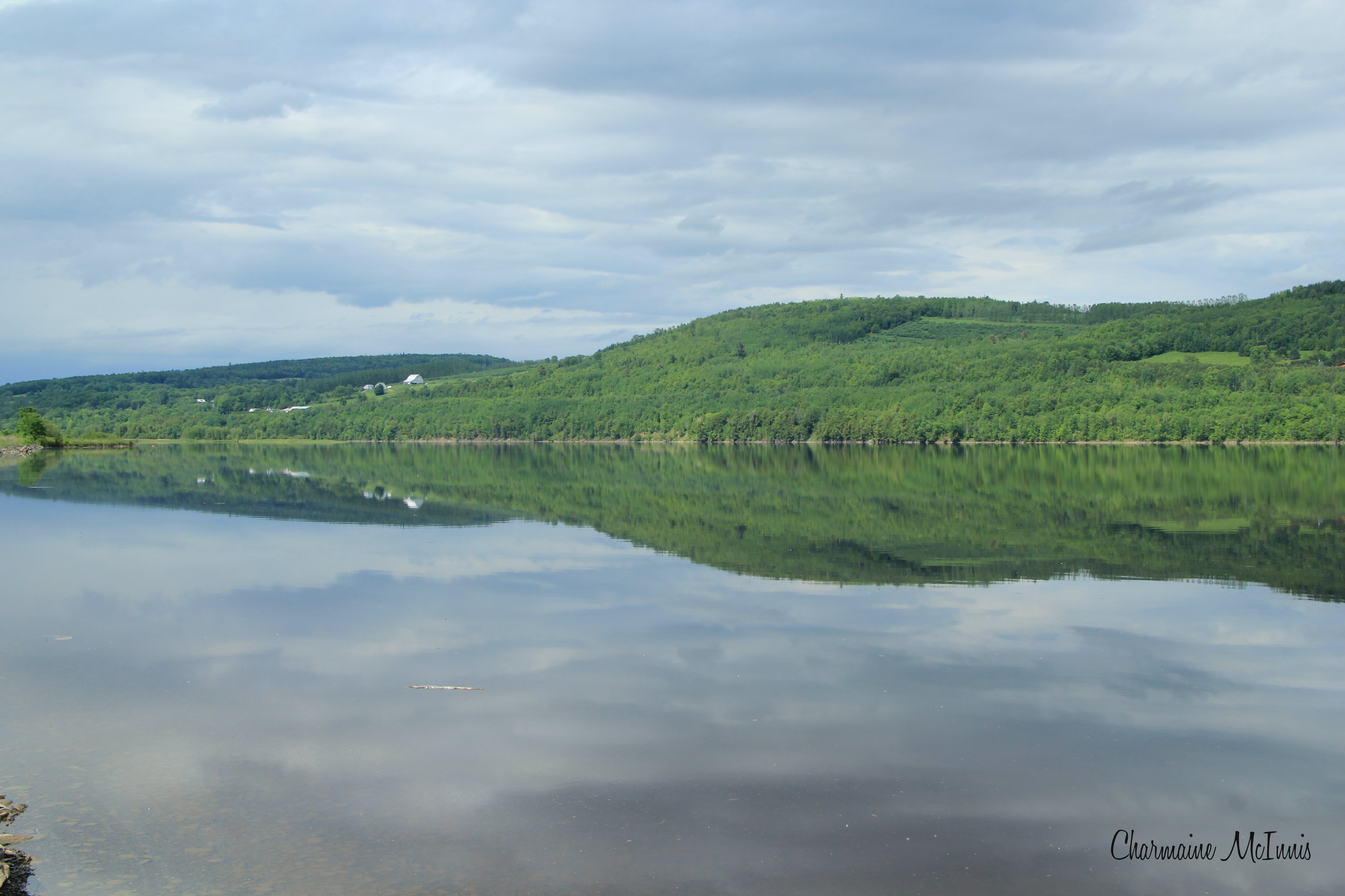
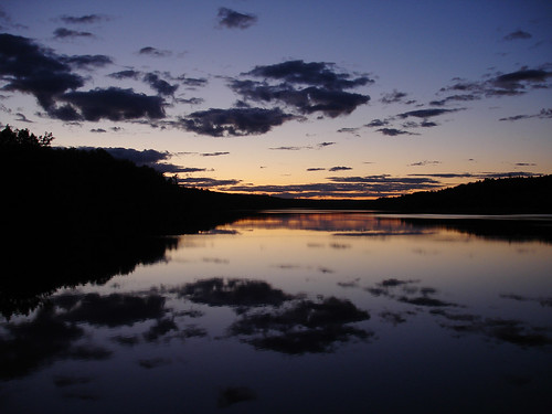
St John River & more...reflection
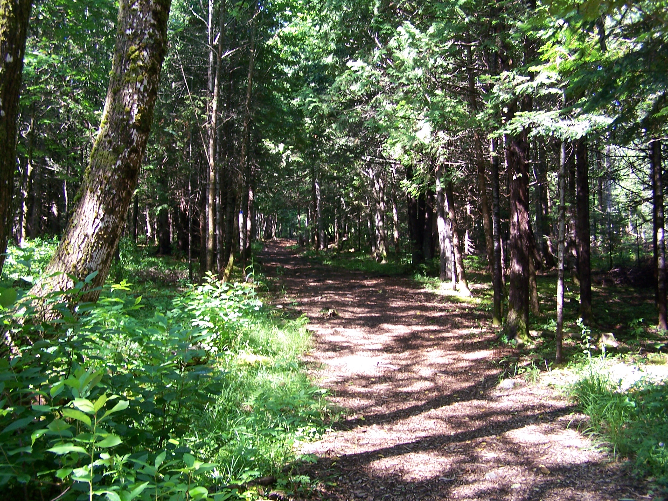
Maliseet Trail
Day 7, Halifax, NS - Kingfield, ME 050
Topographic Map of Benton Rd, Benton, NB E7N 2W6, Canada
Find elevation by address:

Places near Benton Rd, Benton, NB E7N 2W6, Canada:
Benton
Benton
Benton
Benton
Benton
Benton
Benton
Benton
Woodstock
Woodstock
Woodstock
Woodstock
Mcdougall Road
Limestone
1152 Hartin Settlement Rd
1152 Hartin Settlement Rd
E7n 2j8
Kirkland
Hartin Settlement
Richmond
Recent Searches:
- Elevation of Corso Fratelli Cairoli, 35, Macerata MC, Italy
- Elevation of Tallevast Rd, Sarasota, FL, USA
- Elevation of 4th St E, Sonoma, CA, USA
- Elevation of Black Hollow Rd, Pennsdale, PA, USA
- Elevation of Oakland Ave, Williamsport, PA, USA
- Elevation of Pedrógão Grande, Portugal
- Elevation of Klee Dr, Martinsburg, WV, USA
- Elevation of Via Roma, Pieranica CR, Italy
- Elevation of Tavkvetili Mountain, Georgia
- Elevation of Hartfords Bluff Cir, Mt Pleasant, SC, USA