Elevation of Benito Juárez, Benito Juárez, Ver., Mexico
Location: Mexico > Veracruz >
Longitude: -98.198256
Latitude: 20.9348706
Elevation: 267m / 876feet
Barometric Pressure: 98KPa
Elevation Map:
Satellite Map:
Related Photos:
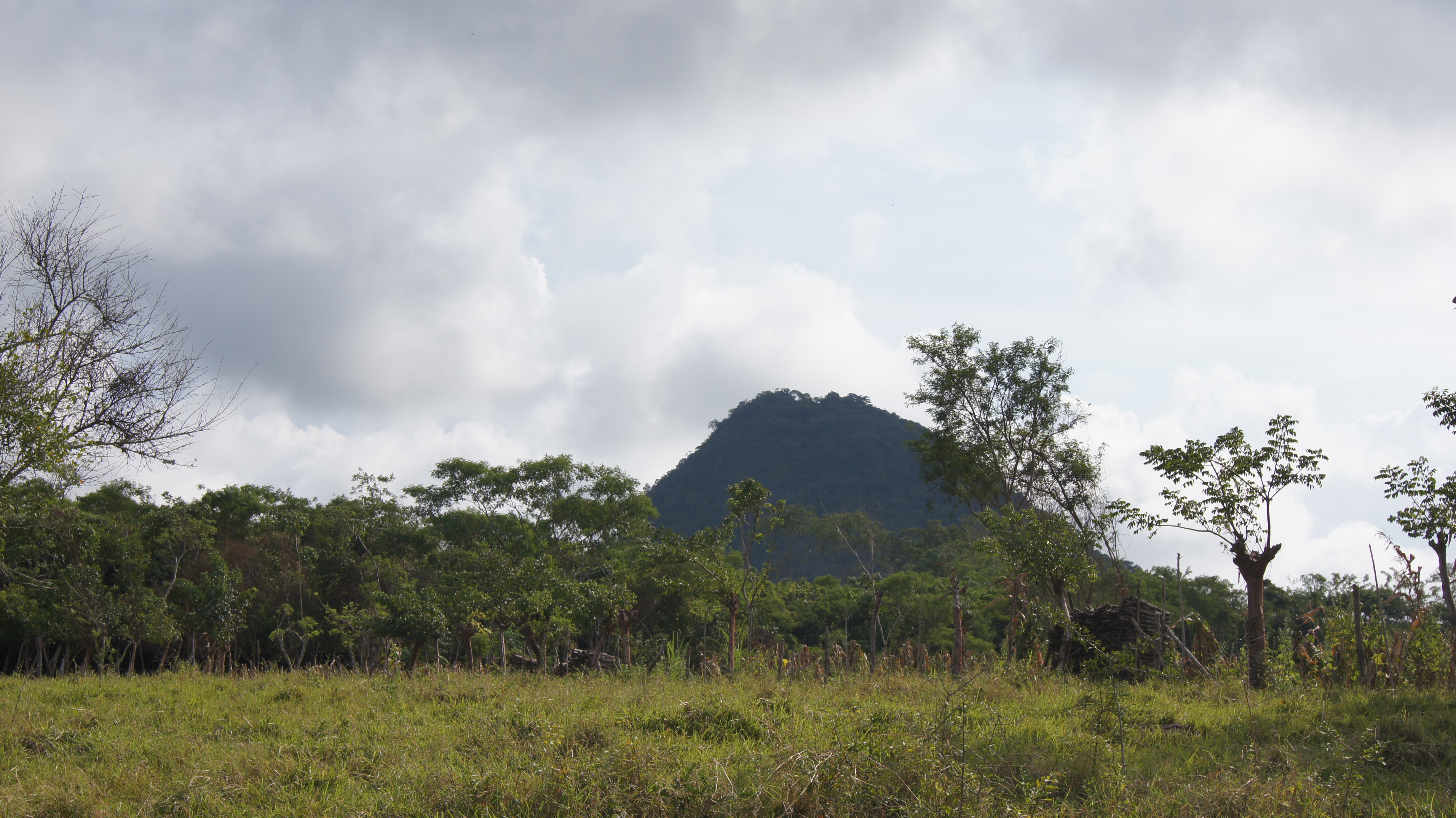
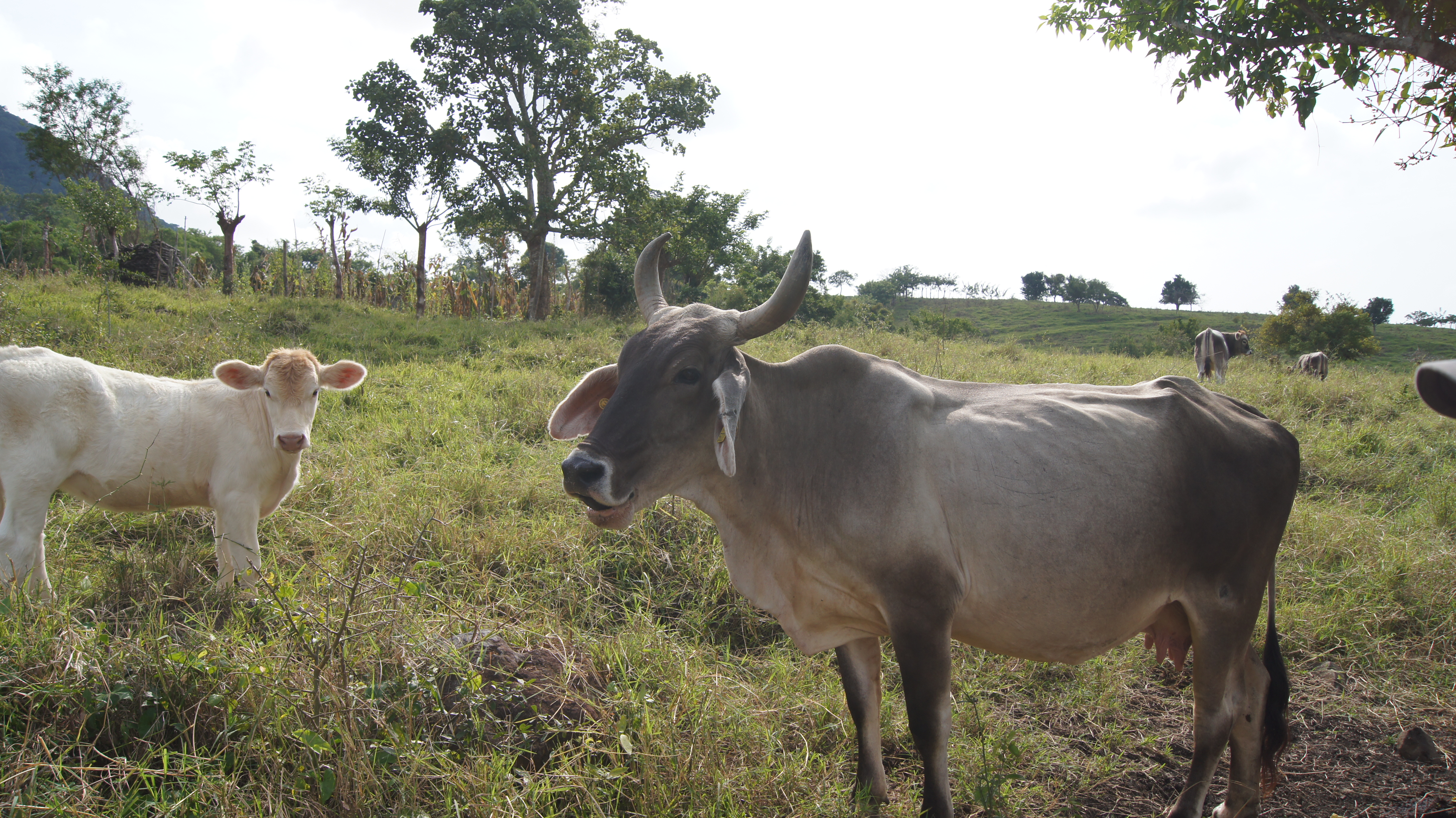
Veracruz
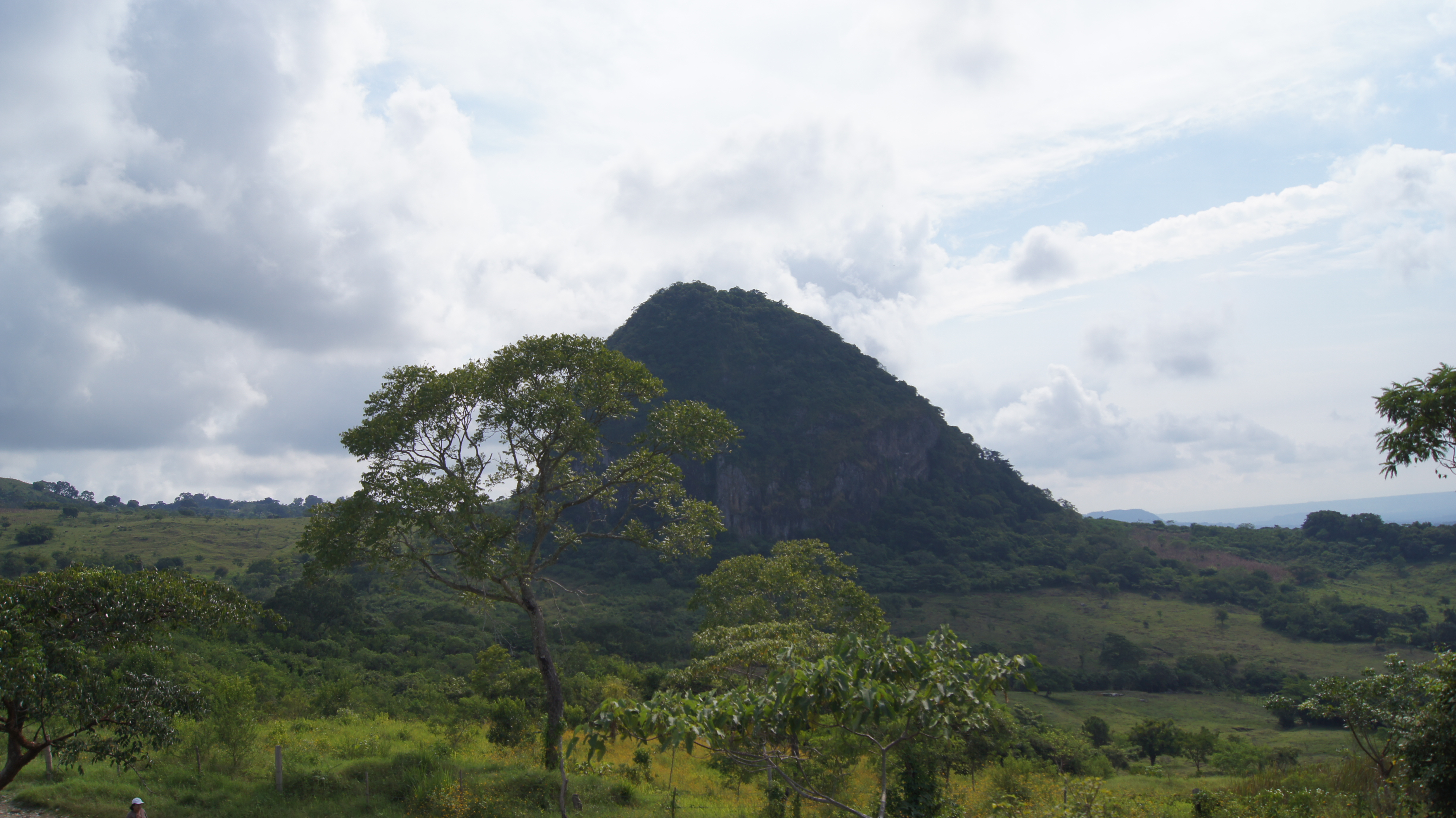
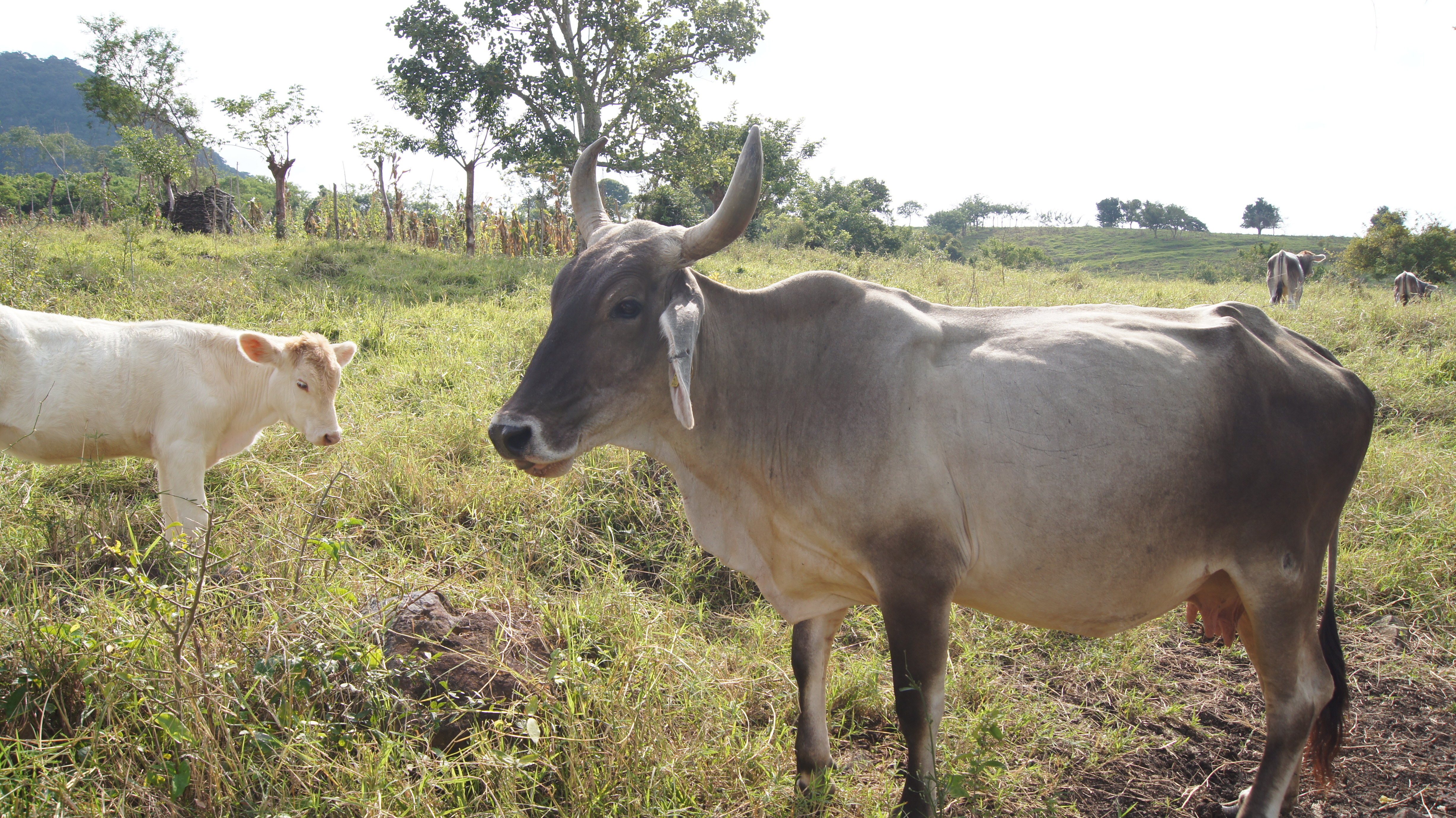
Veracruz
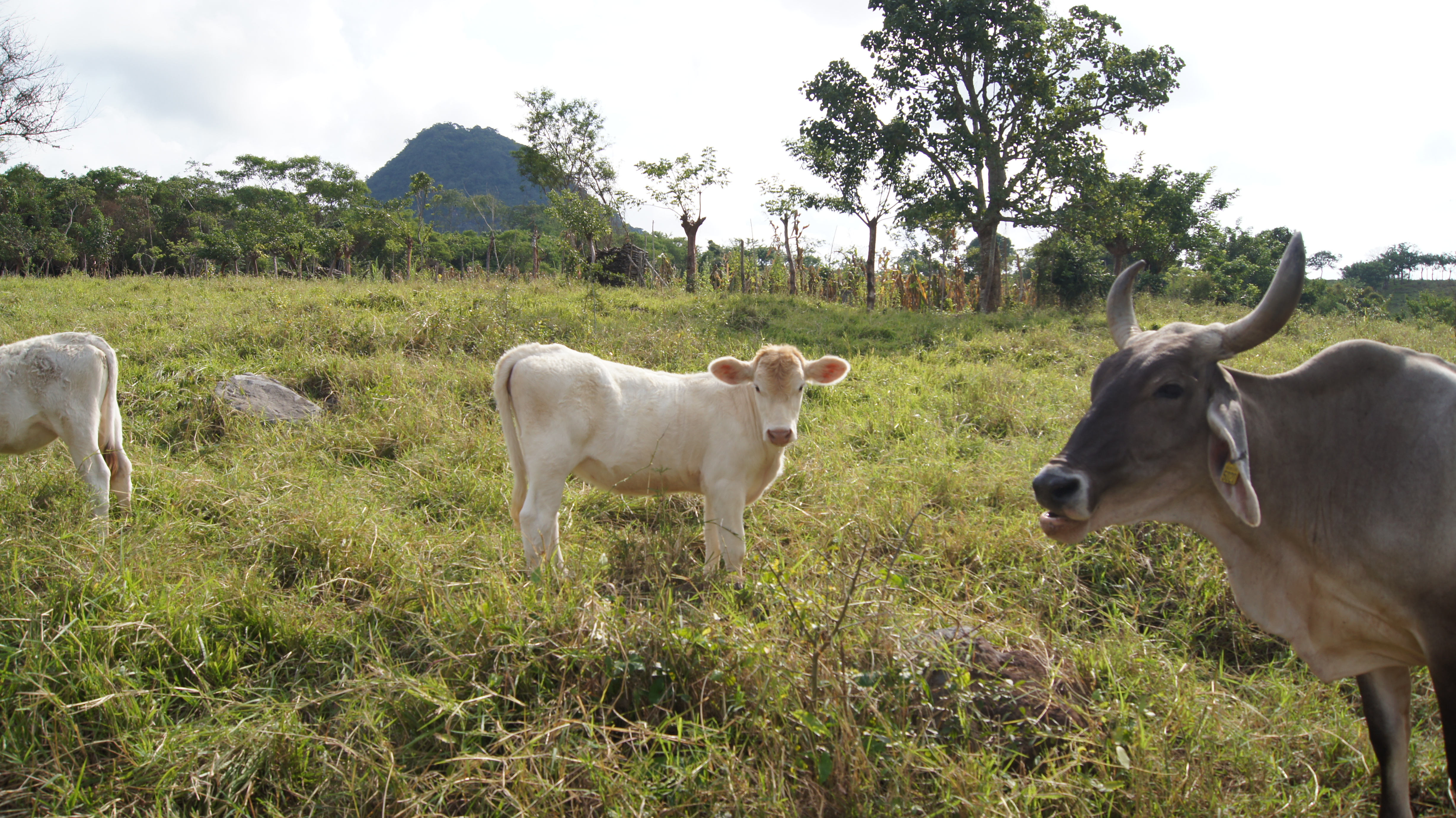
Veracruz
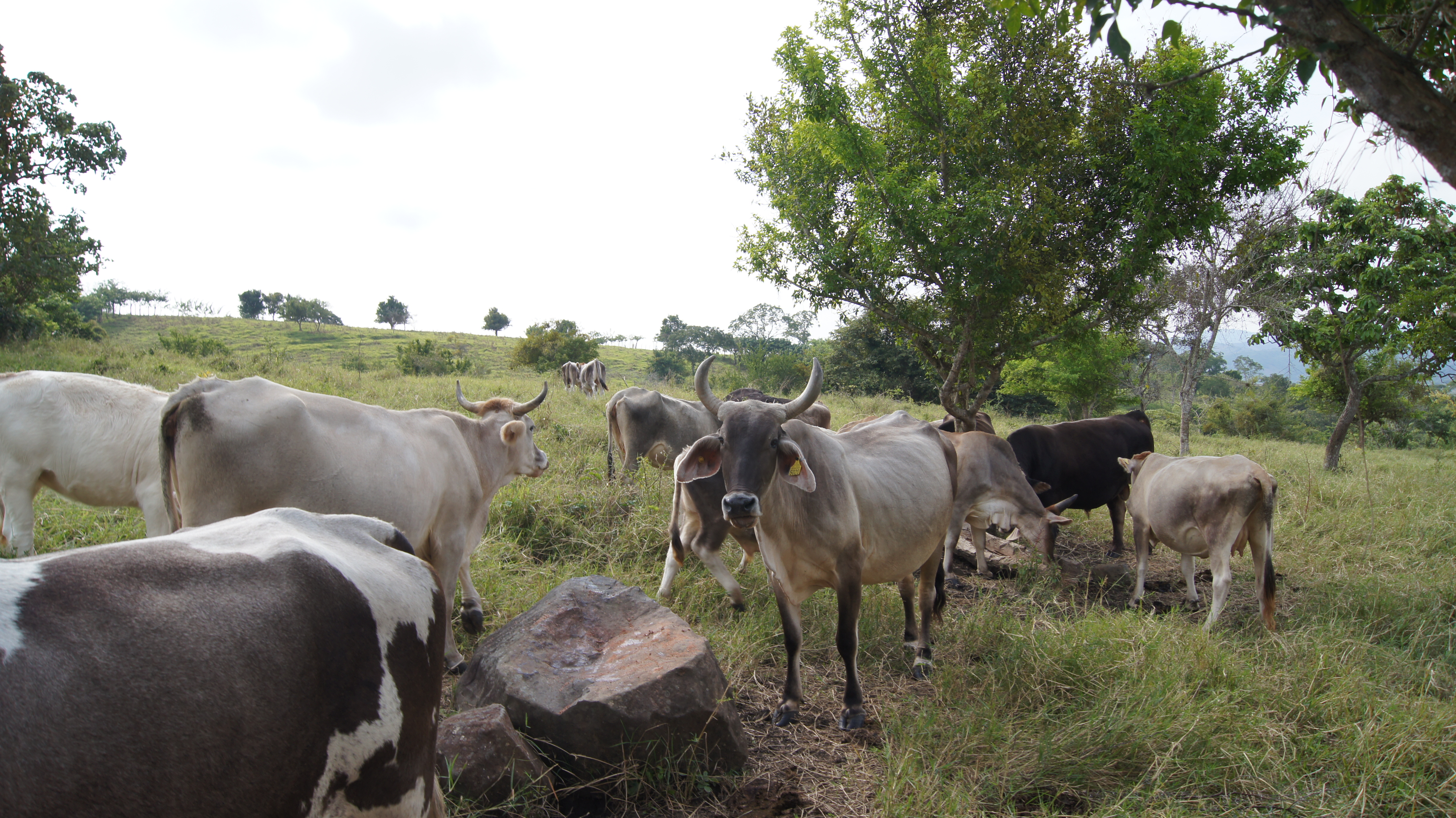
Veracruz
Veracruz
Veracruz

¡Ñomñom!
Topographic Map of Benito Juárez, Benito Juárez, Ver., Mexico
Find elevation by address:

Places near Benito Juárez, Benito Juárez, Ver., Mexico:
A Xochiatipan 10, Yahualica, Hgo., Mexico
Barrio Bajo
Gómez, Barrio Bajo, Huautla, Hgo., Mexico
Huautla
Huautla
Benito Juárez 5, Centro, Ejido del Centro, Hgo., Mexico
Yahualica
Yahualica
Guerrero, Tlaica, Yahualica, Hgo., Mexico
Tlaica
Ixhuatlán De Madero
Texcatepec
Texcatepec
Ndeka, IMSS Coplamar, Texcatepec, Ver., Mexico
Imss Coplamar
Zaragoza 3, Centro, Ejido del Centro, Pue., Mexico
Centro
Metlaltoyuca
Santa Cruz
Pisaflores
Recent Searches:
- Elevation of Corso Fratelli Cairoli, 35, Macerata MC, Italy
- Elevation of Tallevast Rd, Sarasota, FL, USA
- Elevation of 4th St E, Sonoma, CA, USA
- Elevation of Black Hollow Rd, Pennsdale, PA, USA
- Elevation of Oakland Ave, Williamsport, PA, USA
- Elevation of Pedrógão Grande, Portugal
- Elevation of Klee Dr, Martinsburg, WV, USA
- Elevation of Via Roma, Pieranica CR, Italy
- Elevation of Tavkvetili Mountain, Georgia
- Elevation of Hartfords Bluff Cir, Mt Pleasant, SC, USA