Elevation of Texcatepec, Ver., Mexico
Location: Mexico > Veracruz >
Longitude: -98.364749
Latitude: 20.5844758
Elevation: 1854m / 6083feet
Barometric Pressure: 81KPa
Elevation Map:
Satellite Map:
Related Photos:
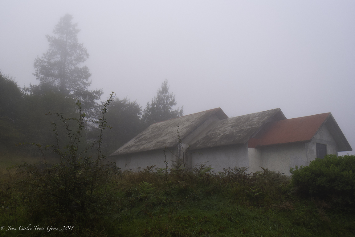
Viborillas Huayacocotla, Ver.

Cachorro durmiendo
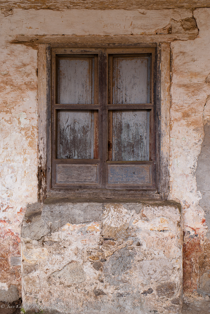
Ventana a mi pasado

Nido de hadas
Topographic Map of Texcatepec, Ver., Mexico
Find elevation by address:

Places in Texcatepec, Ver., Mexico:
Places near Texcatepec, Ver., Mexico:
Texcatepec
Imss Coplamar
Ndeka, IMSS Coplamar, Texcatepec, Ver., Mexico
Centro
Calle Allende 19, Centro, Agua Blanca Iturbide, Hgo., Mexico
Agua Blanca De Iturbide
Agua Blanca De Iturbide
Benito Juárez 5, Centro, Ejido del Centro, Hgo., Mexico
HGO 53 25, Tenango de Doria, Hgo., Mexico
Milpa Vieja
HGO 51, Hidalgo, Mexico
Tenango De Doria
Tenango De Doria
Tenango De Doria
Tenango De Doria
Tenango De Doria
Tenango De Doria
HGO 51 17, Milpa Vieja, Hgo., Mexico
A Xochiatipan 10, Yahualica, Hgo., Mexico
Juárez, Tercera Secc, San Pablito, Pue., Mexico
Recent Searches:
- Elevation of Corso Fratelli Cairoli, 35, Macerata MC, Italy
- Elevation of Tallevast Rd, Sarasota, FL, USA
- Elevation of 4th St E, Sonoma, CA, USA
- Elevation of Black Hollow Rd, Pennsdale, PA, USA
- Elevation of Oakland Ave, Williamsport, PA, USA
- Elevation of Pedrógão Grande, Portugal
- Elevation of Klee Dr, Martinsburg, WV, USA
- Elevation of Via Roma, Pieranica CR, Italy
- Elevation of Tavkvetili Mountain, Georgia
- Elevation of Hartfords Bluff Cir, Mt Pleasant, SC, USA