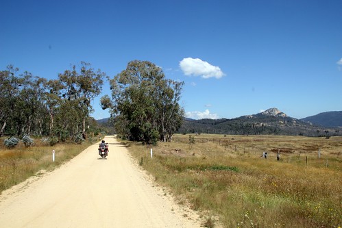
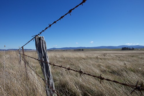
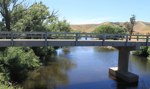
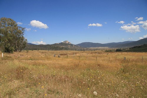
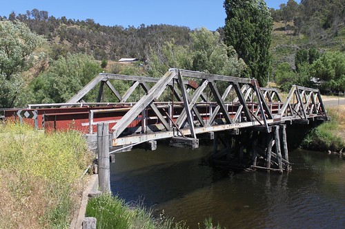
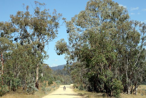
Elevation of Benambra VIC, Australia
Location: Australia > Victoria > East Gippsland Shire >
Longitude: 147.773610
Latitude: -36.918006
Elevation: 866m / 2841feet
Barometric Pressure: 91KPa
Related Photos:
Topographic Map of Benambra VIC, Australia
Find elevation by address:

Places near Benambra VIC, Australia:
3047 Benambra-corryong Rd
Pilot Wilderness
Wulgulmerang East
Mount Hamilton
7480 Mckillops Rd
Wulgulmerang
92 Hunter Ln
Timbarra
1051 Gelantipy Rd
Buchan Valley Log Cabins
5631 Buchan-orbost Rd
36 Main Rd
Buchan
East Gippsland Shire
Pilot Wilderness NSW, Australia
664 Swan Reach Rd
Lakes Entrance
36 Odonnell Dr
67 Capes Rd
9 Ewing Ct
Recent Searches:
- Elevation of Corso Fratelli Cairoli, 35, Macerata MC, Italy
- Elevation of Tallevast Rd, Sarasota, FL, USA
- Elevation of 4th St E, Sonoma, CA, USA
- Elevation of Black Hollow Rd, Pennsdale, PA, USA
- Elevation of Oakland Ave, Williamsport, PA, USA
- Elevation of Pedrógão Grande, Portugal
- Elevation of Klee Dr, Martinsburg, WV, USA
- Elevation of Via Roma, Pieranica CR, Italy
- Elevation of Tavkvetili Mountain, Georgia
- Elevation of Hartfords Bluff Cir, Mt Pleasant, SC, USA

