| Latitude: | 44.4108116 |
|---|---|
| Longitude: | -92.49059553852871 |
| Elevation: | 324 meters / 1063 feet |
| Barometric Pressure | 975KPa |
Related Photos

Mario Bros Cake by alt text

Sorin's View by Lawrence Hutchinson

Lake Pepin View by mlynn72130
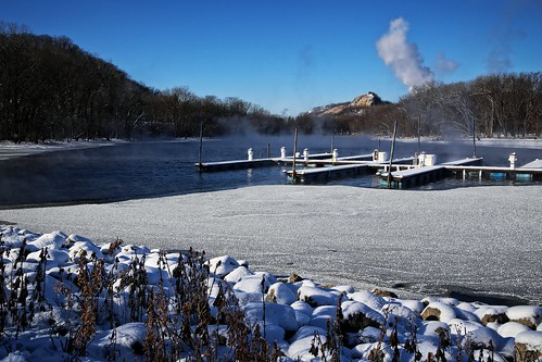
Frozen Pier by Jonathan Miske

All By Myself by CSXT 700
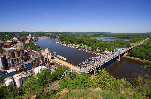
CP 580 with SOO GP's; Barn Bluff, Red Wing, MN by Ottergoose

In Memory of Jerry Dooley (1939-2019) by rabidscottsman

Formal Dining Room As Viewed From The Parlor by Lawrence Hutchinson

Chicago, Milwaukee, St. Paul & Pacific Railroad- Milwaukee Road, Minnesota, Red Wing by EC Leatherberry

CP 4613, Red Wing, MN by Ottergoose

Red Wing Foursquare Church by -Chad Johnson

MILWAUKEE ROAD 160 LEADS A COAL EMPTIES TRAIN PAST THE STATION - RED WING, MINNESOTA - SEPTEMBER 13, 1984 by NR Tower

SOO 6052 at Huddleston's Hutch; Lake City, MN by Ottergoose

Frosty Winter Sunrise Skies of Minnesota by Carl's Photography
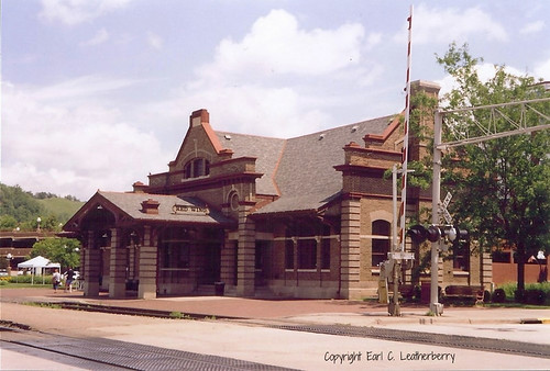
Chicago, Milwaukee, St. Paul & Pacific Railroad- Milwaukee Road, Minnesota, Red Wing (-2) by EC Leatherberry

Red Wing, MN John Rich Park by ArchiTexty

Red Wing, Minnesota from Barn Bluff by Prairie Star

Barn Bluff Climber by altfelix11

Red Wing Dusk by The World of Photos

Rural by Mamluke

// Please take your seats. by J2 Smith

Grain & Lake Pepin View by Brian Kays

Red Wing, Minnesota - May 25, 2019: Red Wing Generating Plant still bears the old NSP logo, despite the power plant currently operated by Xcel Energy by m01229

AMT 156 FRONTENAC by mlynn72130
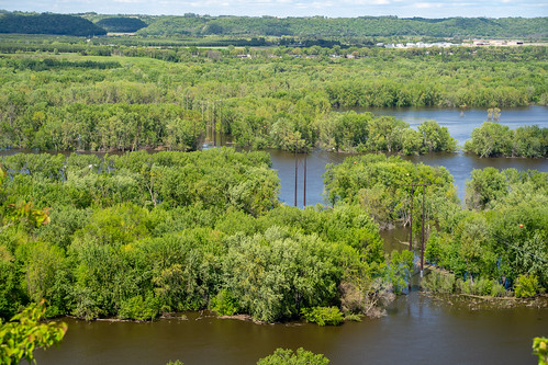
Beautiful view of the Mississippi River as seen from Red Wing Minnesota from the Barn Bluff hiking trail by m01229
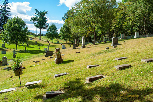
Calvary Cemetery - Red Wing, Minnesota by TAC.Photography

Red Wing, Minnesota - May 25, 2019: A couple of hikers sit on the Barn Bluff overlook trail to enjoy the view of the Mississippi River by m01229

Red Wing by M@rtha Decker

Cityscape aerial view of Red Wing Minnesota business and commerical district, as seen from Barn Bluff trail by m01229

Finding a Way by M@rtha Decker

Boat Landing by eagle-vista-studio

Quaking Aspen Fall Color by Matt Thalman - Valley Man Photography

Frozen Pond by rabidscottsman

Lake Canoe by eagle-vista-studio
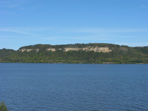
Lake Pepin Bluffs by altfelix11
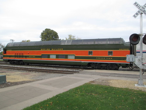
Empire Builder II by Prairie Star

Eisenhower Bridge by altfelix11
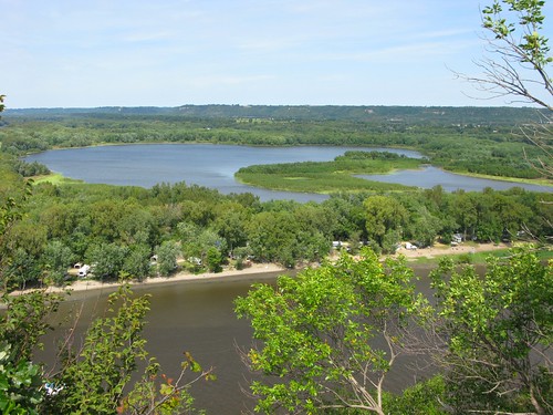
Mud Lake by altfelix11

Barn Bluff by alt text
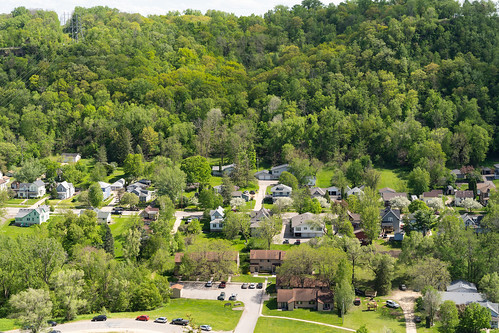
Aerial overhead view of a residential neighborhood in Red Wing Minnesota during the spring. by m01229
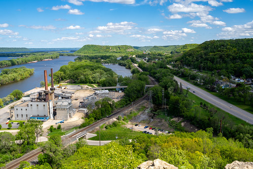
Aerial view of a cityscape of Red Wing, Minnesota, as seen from the Barn Bluff overlook hike. Taken in late spring, view of Lake Pepin by m01229
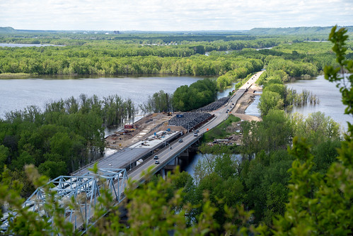
Aerial overhead view of the US Highway 63 bridge, crossing the Mississippi River, during a spring flooding. by m01229

Lake Pepin by altfelix11

Chicago, Milwaukee, St. Paul & Pacific Railroad- Milwaukee Road, Minnesota, Red Wing (-3) by EC Leatherberry

Red Wing, Minnesota - May 25, 2019: Sign for the Barn Bluff trailhead, an overlook of the city and the Mississippi River by m01229

Main Street Red Wing by altfelix11
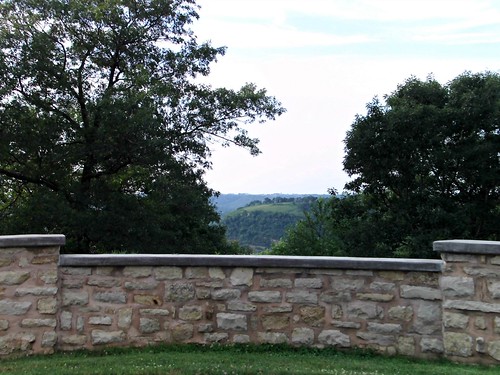
The view from Oakwood Cemetery by novice09

Beautiful view of the Mississippi River as seen from Red Wing Minnesota from the Barn Bluff hiking trail by m01229

#Frontenac State Park, beauty at any time of year..... #FrontenacStatePark #christopherjfranklinphotography #RedWing #MN #Minnesota #onlyinmn #capturemn by cFranklinPhotos
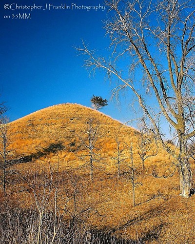
#Frontenac State Park, beauty any time of year.. #christopherjfranklinphotography #35mm #35mmfilm #colornegative #redwing #mn #minnesota #onlyinmn #capturemn #exploreminnesota #exploremn #canon #fron by cFranklinPhotos

Geodedic survey marker for horizontal control mark, located in Red Wing Minnesota along the Barn Bluff trail by m01229
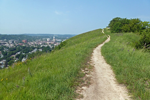
trail and city by Griz version 2.0

controlled burn by jimmy_racoon
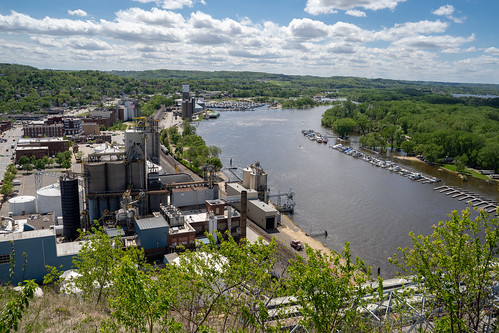
Cityscape view of Red Wing Minnesota, featuring the Mississippi River on a spring day. As seen from Barn Bluff hike by m01229

Red Wing from Memorial Park by Brian Bauman

Lake Pepin of the Mississippi River (Goodhue County, Minnesota) by courthouselover

sand point by jimmy_racoon

Bald Eagle at Colvill Park in Red Wing MN by brucesenst

Hok Si La Chapel (Summer) by eagle-vista-studio

Camp Hok-Si-La by Forrest Pearson