Elevation of Belavale Khurd, Maharashtra, India
Location: India > Maharashtra > Kolhapur >
Longitude: 74.1753734
Latitude: 16.5132118
Elevation: 560m / 1837feet
Barometric Pressure: 95KPa
Elevation Map:
Satellite Map:
Related Photos:

IMG_1017

5170

5171

5131

Superb Indian highways.

Hotel Cook

Making Flat Bread India

Papaya Tree India

कणेरी मठ, पेठचा गणपती, जोतिबा, नरसोबाची वाडी, महालक्ष्मी कोल्हापूर.

कणेरी मठ, पेठचा गणपती, जोतिबा, नरसोबाची वाडी, महालक्ष्मी कोल्हापूर.
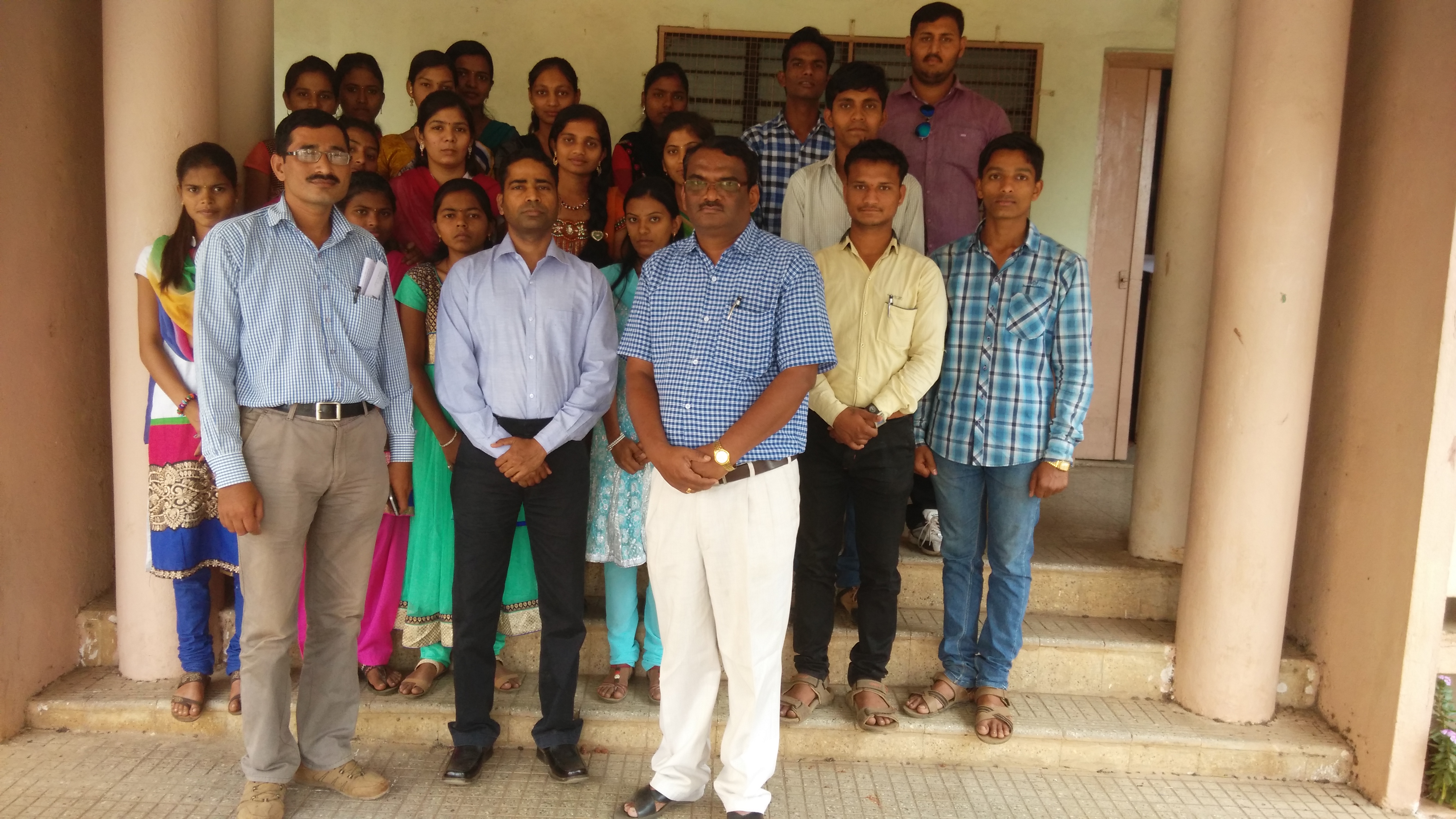
Lecture on National Science Day at Bidri, kagal, Kolhapur for Sr. & Jr college student & teachers. All Lectures since 26-02-2016 are organised by Marathi Vidnyan Parishad, Gadhinglaj

Lecture on National Science Day at Bidri, kagal, Kolhapur for Sr. & Jr college student & teachers. All Lectures since 26-02-2016 are organised by Marathi Vidnyan Parishad, Gadhinglaj

Lecture on National Science Day at Bidri, kagal, Kolhapur for Sr. & Jr college student & teachers. All Lectures since 26-02-2016 are organised by Marathi Vidnyan Parishad, Gadhinglaj

Poop Shoot!
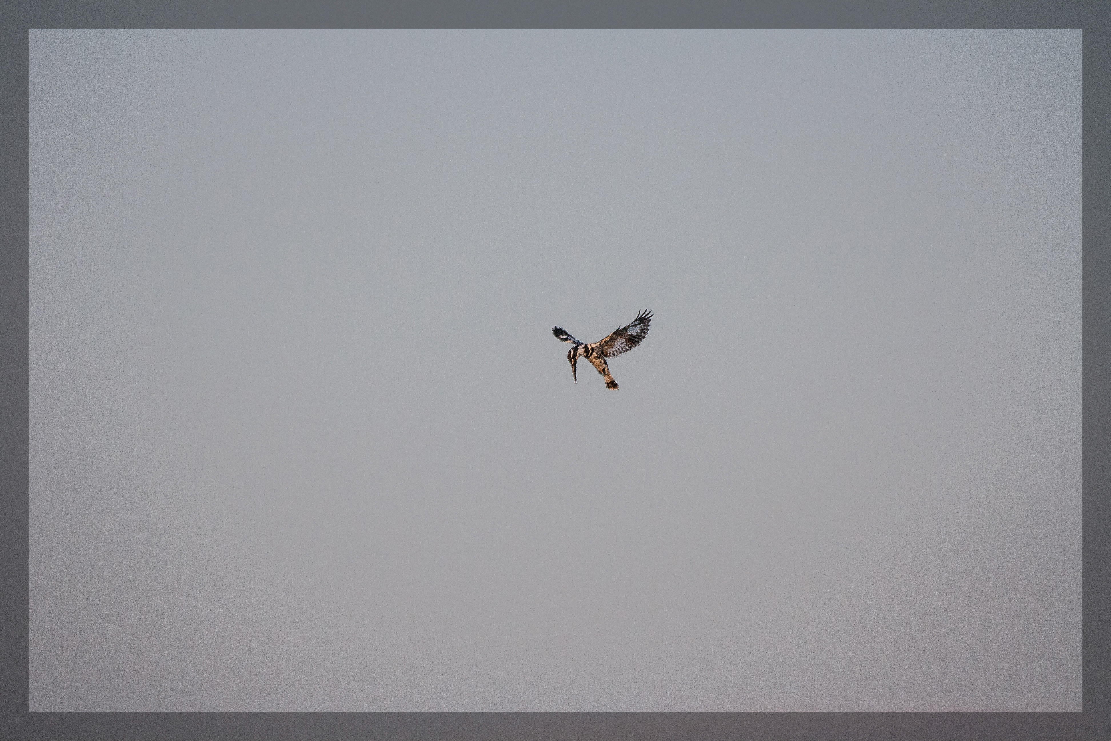
Hovering Pied Kingfisher

India: Neha and Her Mom

India Temple Stall

India Temple Stall

the village river

A date with a Sunflower
Topographic Map of Belavale Khurd, Maharashtra, India
Find elevation by address:

Places near Belavale Khurd, Maharashtra, India:
Belavale Bk
Kavane
Chandekarwadi
Nigave
Palkarwadi
Chandre
Shelewadi
Thikpurli
Valave Kh.
Titave
Sonali
Talashi
Majare Kasarwada
Bidri
Baradwadi
Koulav
Bargewadi
Kapileshwar
Borawade
Shirase
Recent Searches:
- Elevation of Corso Fratelli Cairoli, 35, Macerata MC, Italy
- Elevation of Tallevast Rd, Sarasota, FL, USA
- Elevation of 4th St E, Sonoma, CA, USA
- Elevation of Black Hollow Rd, Pennsdale, PA, USA
- Elevation of Oakland Ave, Williamsport, PA, USA
- Elevation of Pedrógão Grande, Portugal
- Elevation of Klee Dr, Martinsburg, WV, USA
- Elevation of Via Roma, Pieranica CR, Italy
- Elevation of Tavkvetili Mountain, Georgia
- Elevation of Hartfords Bluff Cir, Mt Pleasant, SC, USA