Elevation of Beinn an Oir, Isle of Jura, Argyll and Bute PA60, UK
Location: United Kingdom > Argyll And Bute > Craighouse >
Longitude: -6.0041666
Latitude: 55.9023888
Elevation: 747m / 2451feet
Barometric Pressure: 93KPa
Elevation Map:
Satellite Map:
Related Photos:

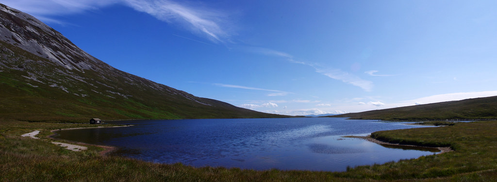
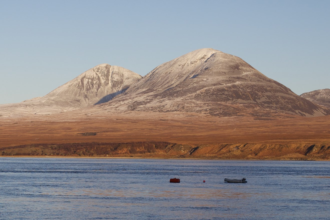
Paps of Jura revisited
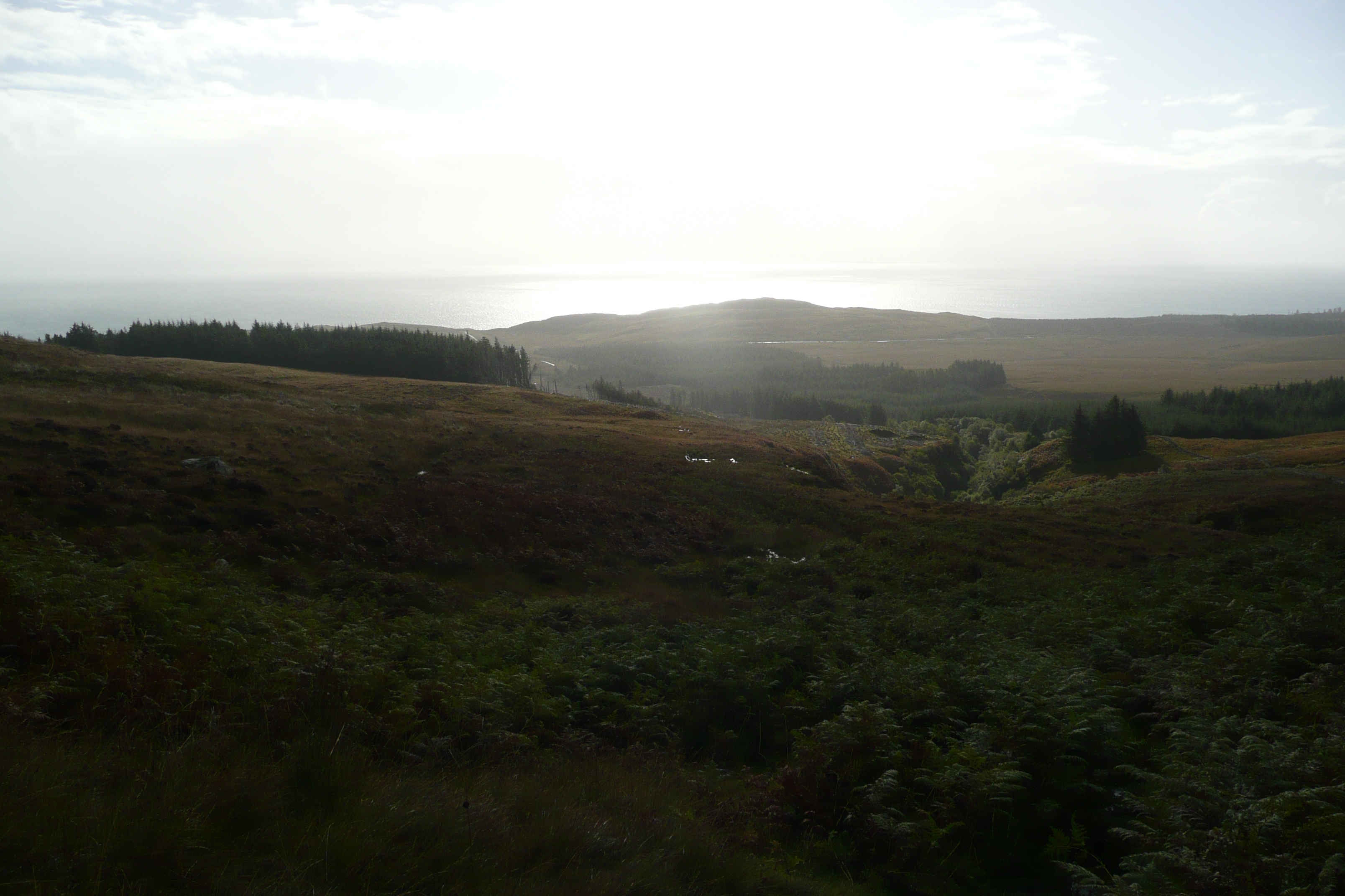
Walking To The Loch

Mark on Jura Pap Panorama
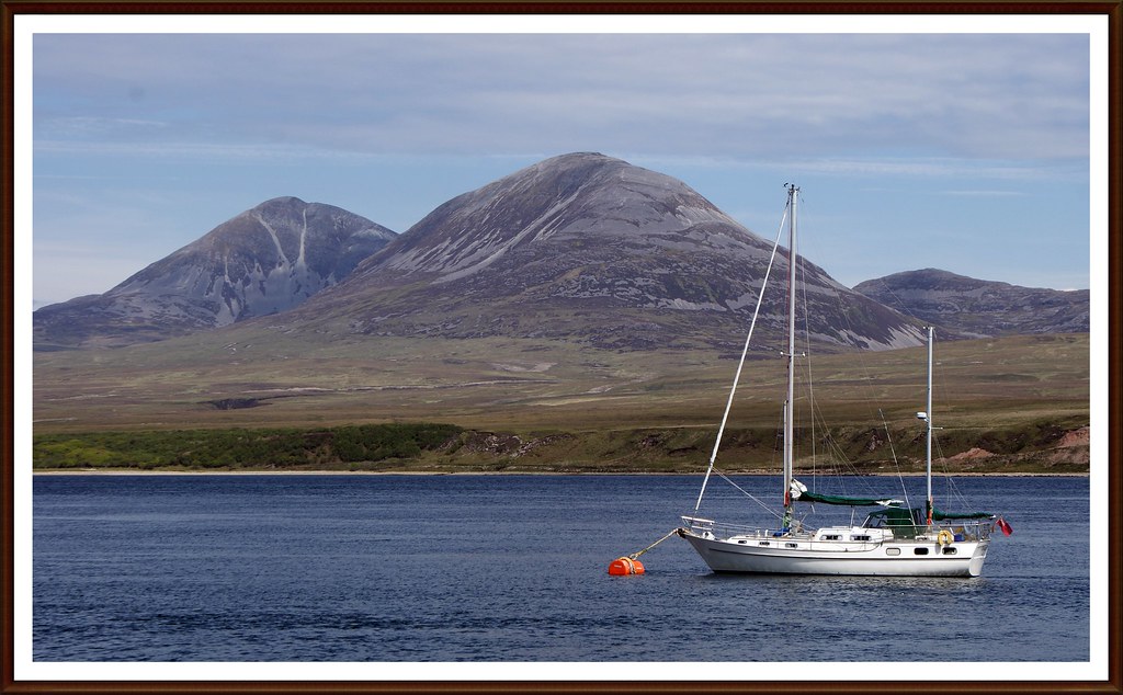
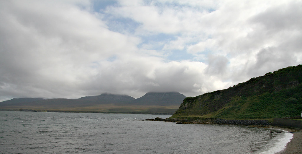
Paps of Jura

Jura House
View from Finlaggan
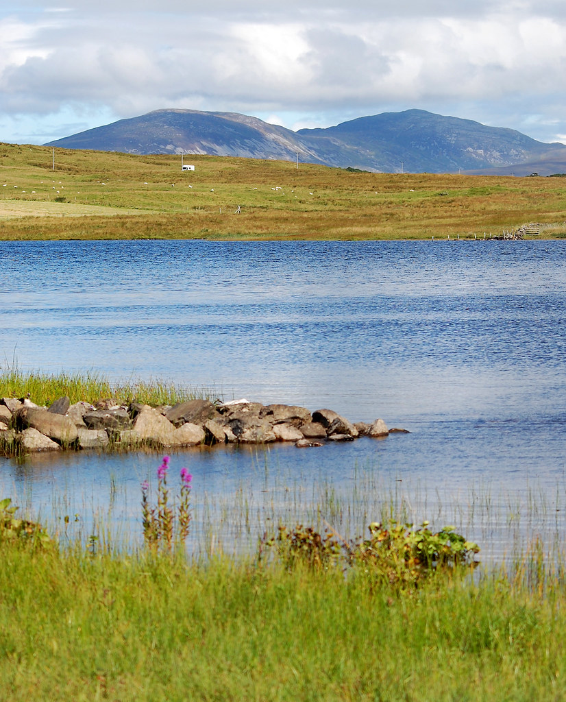
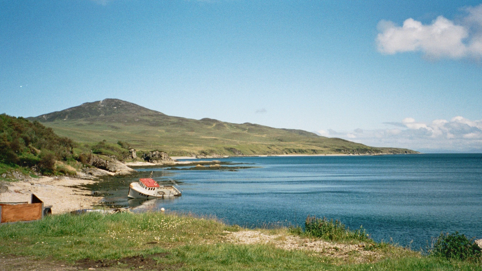
Loch an t-Siob, Jura
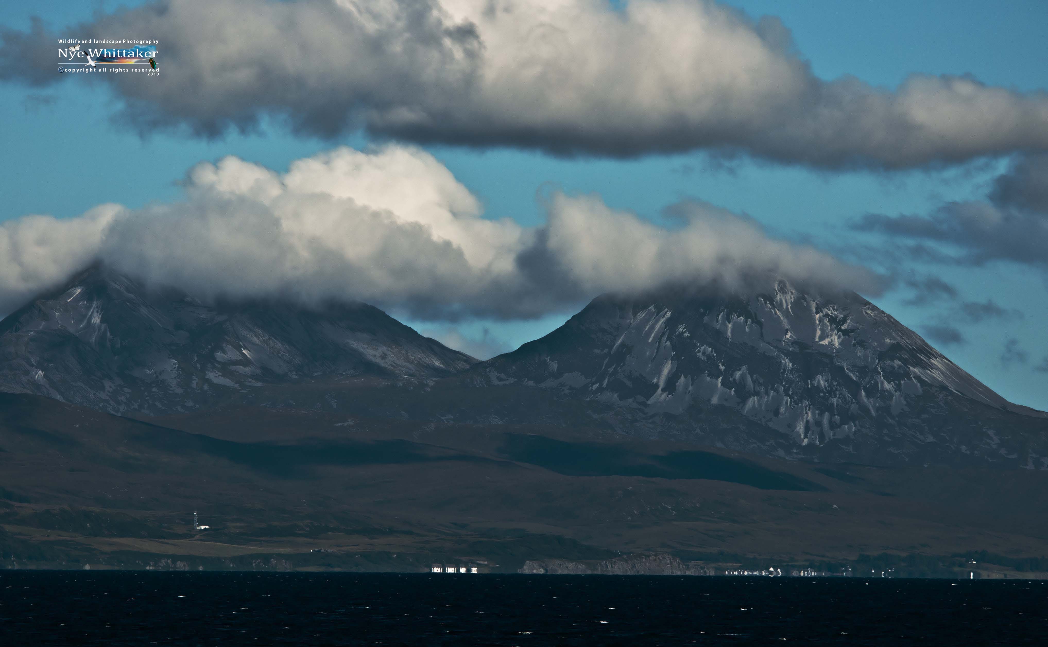
The Paps of Jura_filtered
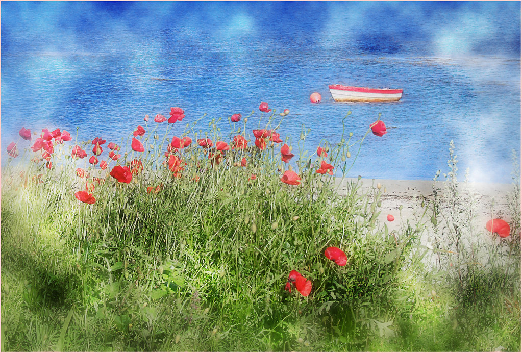
Poppy Boat
View from Bunnahabhain, 2002
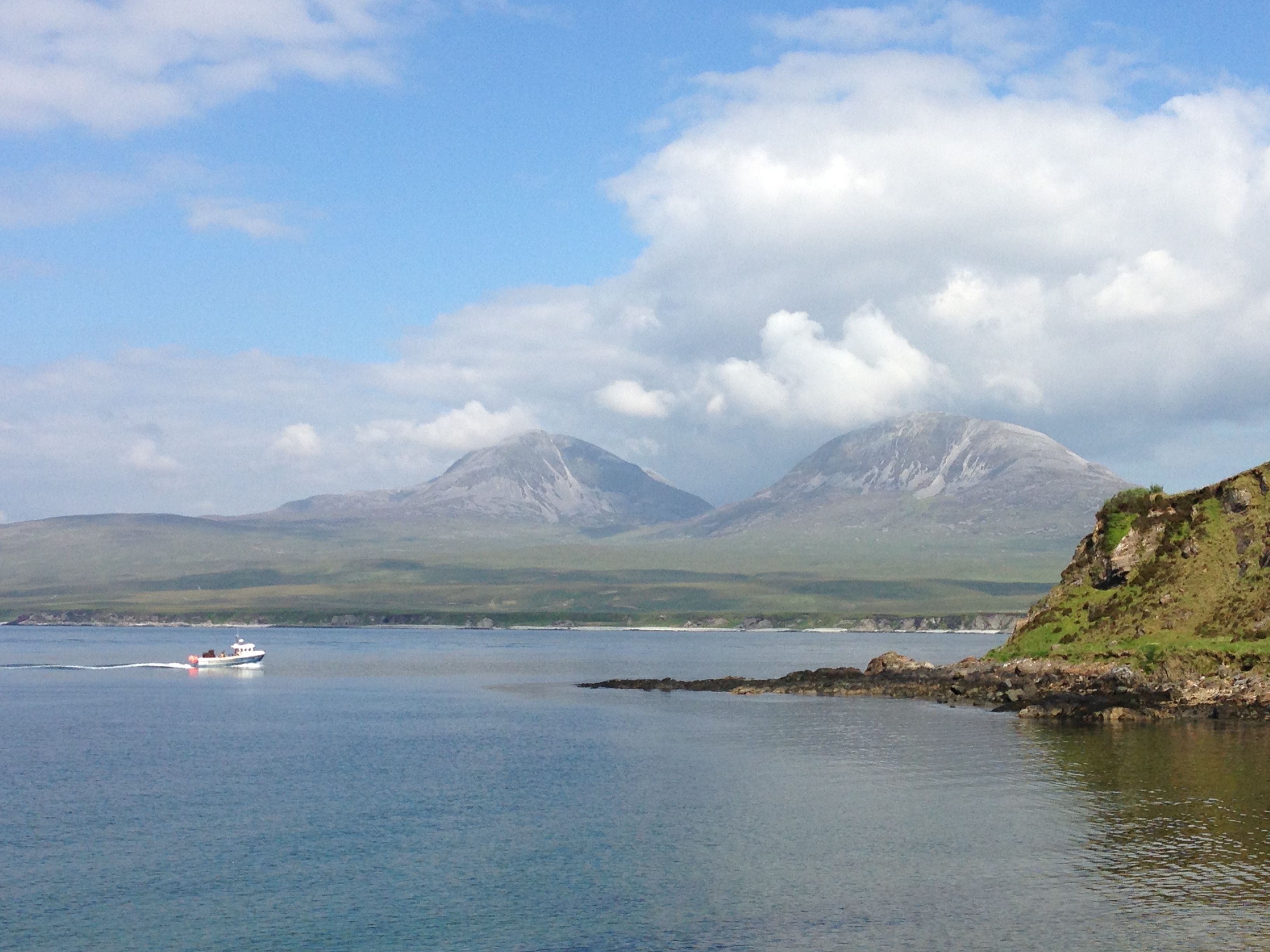
Jura from Port Askaig
bunnahabhain views
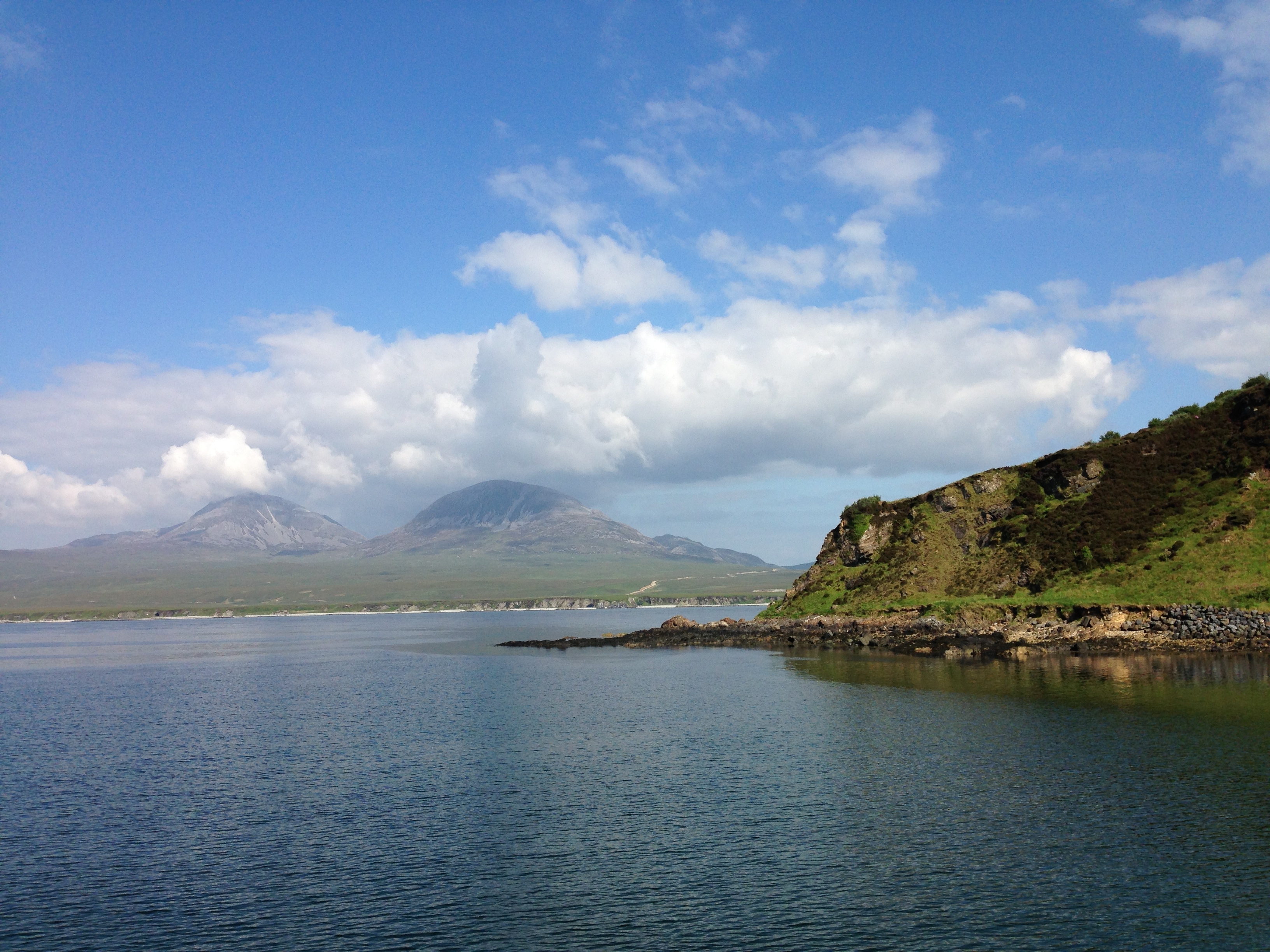
view of Jura from bunnahabhain
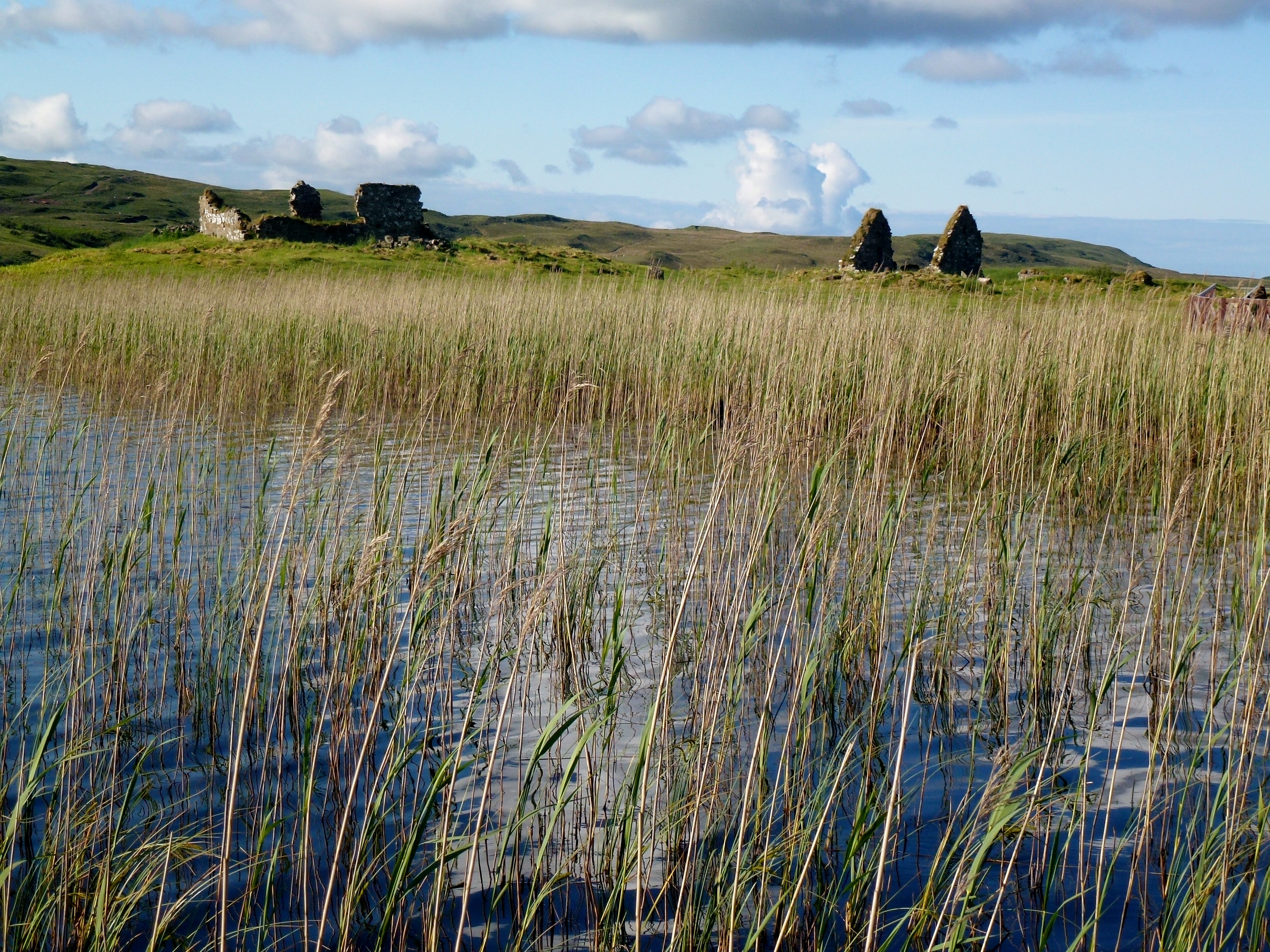
Reedy view
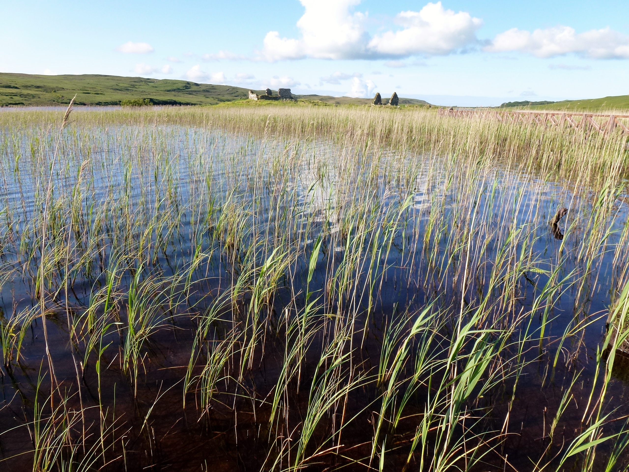
Reedy view 2
Bunnahabhain bay
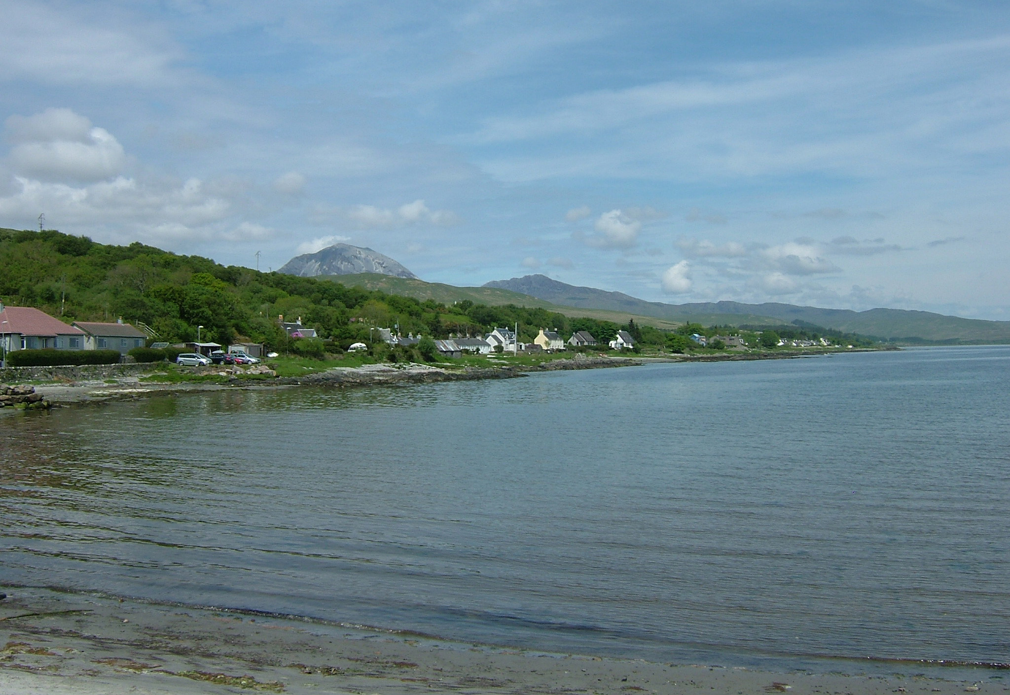
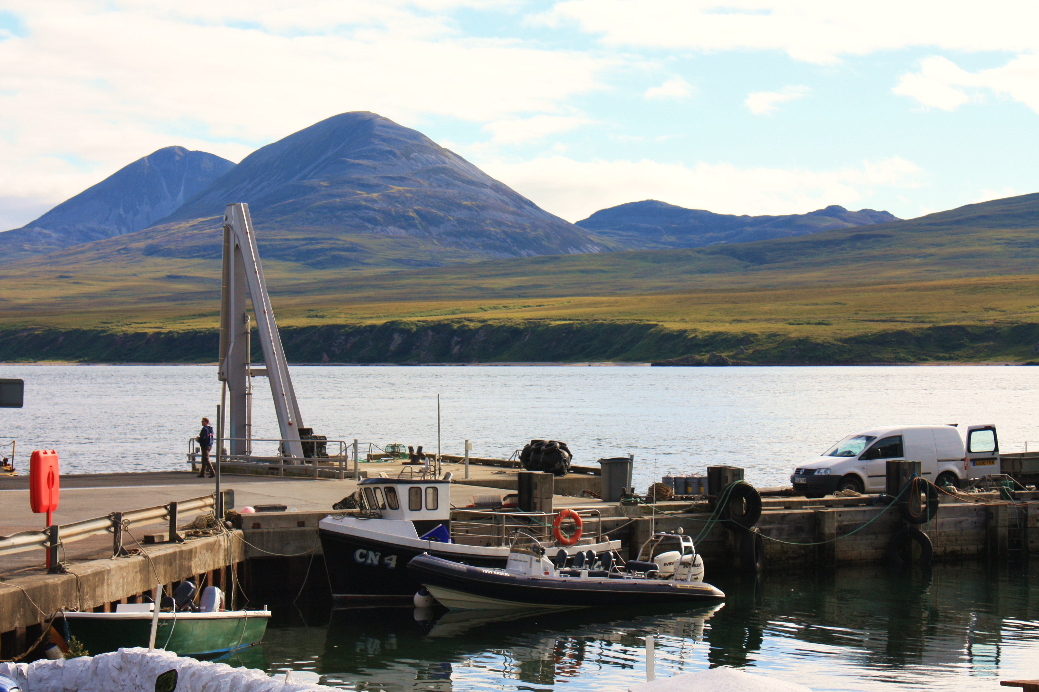
View from Craighouse Pier
Paps of Jura
Topographic Map of Beinn an Oir, Isle of Jura, Argyll and Bute PA60, UK
Find elevation by address:

Places near Beinn an Oir, Isle of Jura, Argyll and Bute PA60, UK:
Craighouse
Isle Of Islay
Bridgend
Ardbeg Distillery Ltd
Bowmore
Pa42 7aj
Gruinart
Castle Sween Caravan Park
Gruinart Farmhouse, Islay
Toberonochy
Machrihanish Dunes
5 B, Campbeltown PA28 6PY, UK
2 Campbell Pl, Portnahaven, Isle of Islay PA47 7SQ, UK
Portnahaven
Machrihanish
Pa28 6px
3 B, Campbeltown PA28 6RP, UK
Ballycastle
Moyle
Dunseverick
Recent Searches:
- Elevation of Corso Fratelli Cairoli, 35, Macerata MC, Italy
- Elevation of Tallevast Rd, Sarasota, FL, USA
- Elevation of 4th St E, Sonoma, CA, USA
- Elevation of Black Hollow Rd, Pennsdale, PA, USA
- Elevation of Oakland Ave, Williamsport, PA, USA
- Elevation of Pedrógão Grande, Portugal
- Elevation of Klee Dr, Martinsburg, WV, USA
- Elevation of Via Roma, Pieranica CR, Italy
- Elevation of Tavkvetili Mountain, Georgia
- Elevation of Hartfords Bluff Cir, Mt Pleasant, SC, USA