Elevation of 3 B, Campbeltown PA28 6RP, UK

Location: United Kingdom > Argyll And Bute >

Longitude: -5.6398881

Latitude: 55.3157528

Elevation: 11m / 36feet

Barometric Pressure: 101KPa

Elevation Map:

elevation map of 3 B, Campbeltown PA28 6RP, UK

Satellite Map:

Satellite map of 3 B, Campbeltown PA28 6RP, UK

Related Photos:

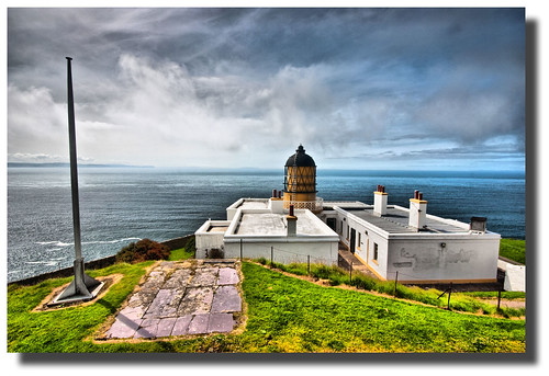
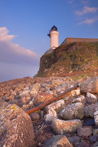
lighthouse mull hdr kintyre
Mull of Kintyre Lighthouse
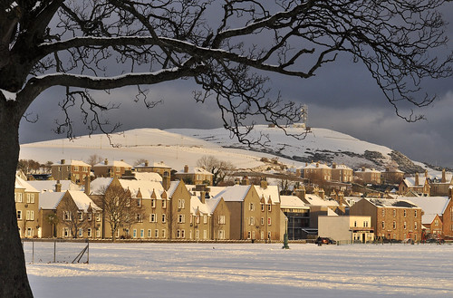
winter snow geotagged scotland nikon argyll escocia schottland kintyre ecosse campbeltown d5000 اسكتلندا
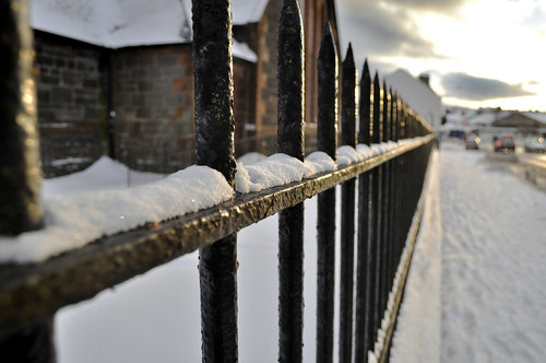
Snowy toon
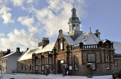
winter snow geotagged scotland nikon argyll escocia schottland kintyre ecosse campbeltown d5000 اسكتلندا
The Burnett building
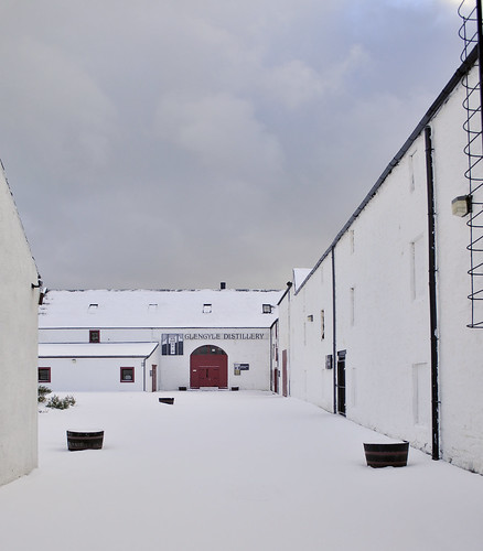
winter snow geotagged scotland nikon argyll escocia schottland kintyre ecosse campbeltown d5000 اسكتلندا
Glengyle distillery
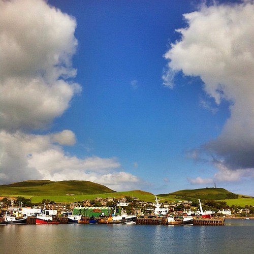
View of the port
island arran campbeltown iphone6
A View to Arran from Campbeltown, 24 June 2016
sea seagulls water geotagged gold scotland nikon argyll escocia shore loch schottland gloaming kintyre ecosse campbeltown d40 اسكتلندا
Campbeltown Loch, I wish you were whisky...
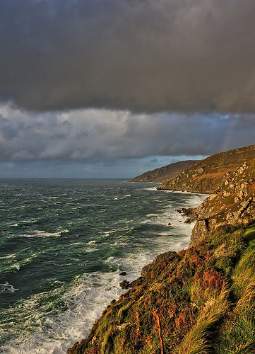
clouds scotland rainbow surf waves kintyre mullofkintyre argyllandbute vob ef1740mmf4lusm lightzone canon400d
Kintyre Coast
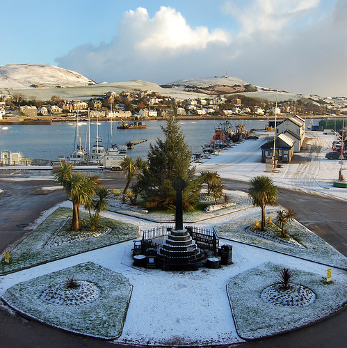
winter snow geotagged scotland cross calendar harbour argyll roundabout escocia christmastree palmtree schottland kintyre ecosse campbeltown اسكتلندا weetoon
Icing sugar
winter snow geotagged scotland nikon argyll escocia schottland kintyre ecosse campbeltown d5000 اسكتلندا
On the rocks
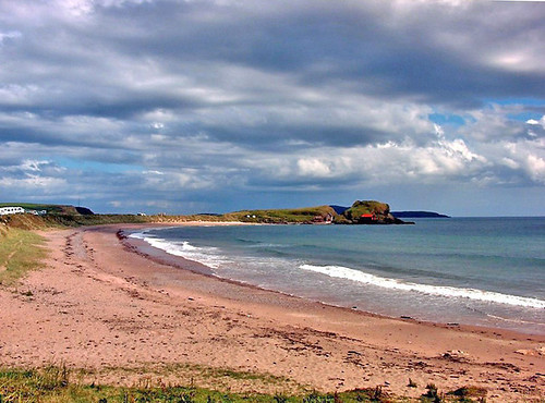
panorama beach walking landscape scotland spring argyll machrihanish kintyre
Machrihanish Beach
Toilets with a view
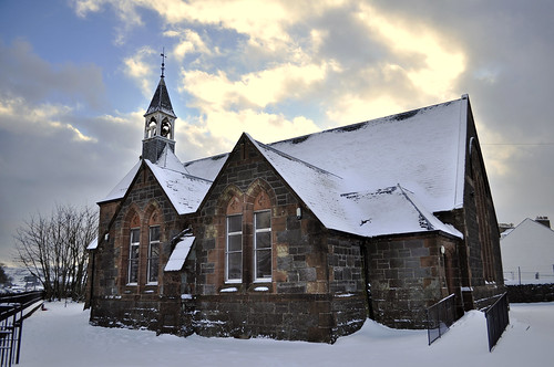
winter snow geotagged scotland nikon argyll escocia schottland kintyre ecosse campbeltown d5000 اسكتلندا
Wee church
Macrahanish View to the Isles
panorama beach walking landscape scotland spring argyll machrihanish kintyre
Machrihanish Beach
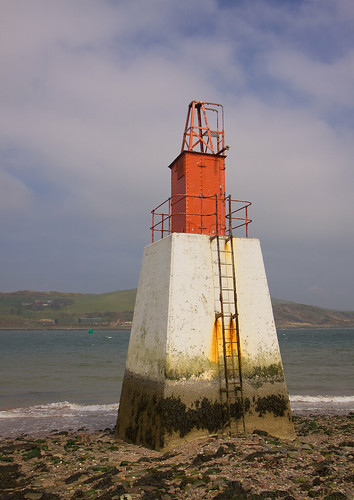
geotagged scotland aperture kintyre polariser campbeltown campbeltownloch argyllandbute davaarisland ef1740mmf4lusm canon50d viveza colorefexpro30 dfine20 sharpenerpro30 dhorlin doirlinn geo:lat=55422627 geo:lon=5564693
Dhorlin Beacon, Campbeltown Loch
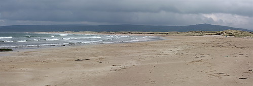
panorama beach walking landscape scotland spring argyll machrihanish kintyre
Machrihanish Beach
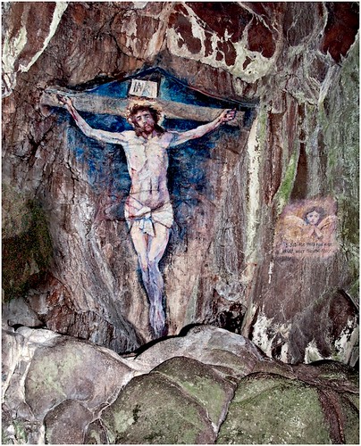
cave campbelltown kintyre davaar christonthecross
Davaar Island Cave Painting, Easter 2012
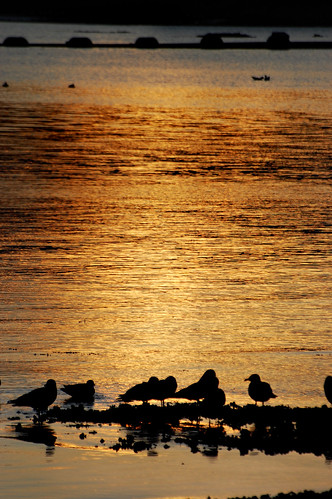
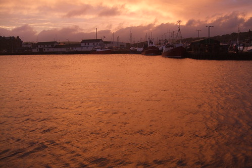
sunset water golden harbour fishingboats campbeltown sailingtroontoliverpool
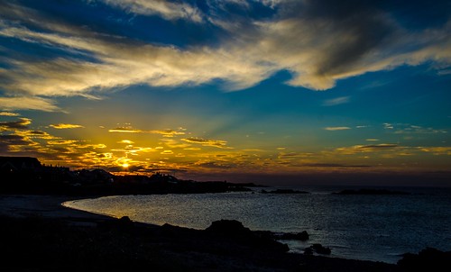
Golden Waters
winter snow geotagged scotland nikon argyll escocia schottland kintyre ecosse campbeltown d5000 اسكتلندا
The light is fading
s8561 uisaed
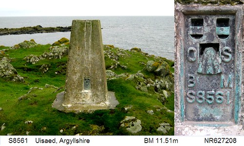
S8561 - Uisaed
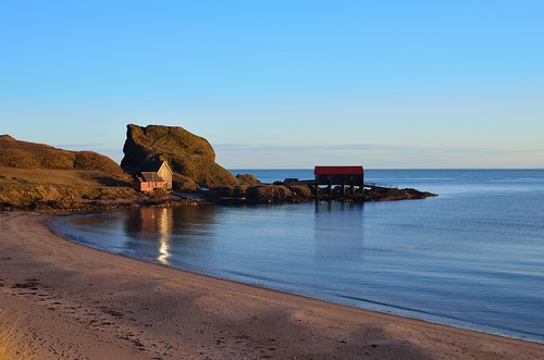
scotland southend kintyre dunavertybay dunavertyrock stevenmcdougall
Dunaverty Bay , Southend Beach , Mull Of Kintyre
uk sea panorama cloud beach grass clouds island grey scotland unitedkingdom britain argyll shore loch kintyre sealoch davaar campbeltownloch
Davaar Island -- photo 2
scotland kintyre mullofkintyre
Sunset at Machrihanish
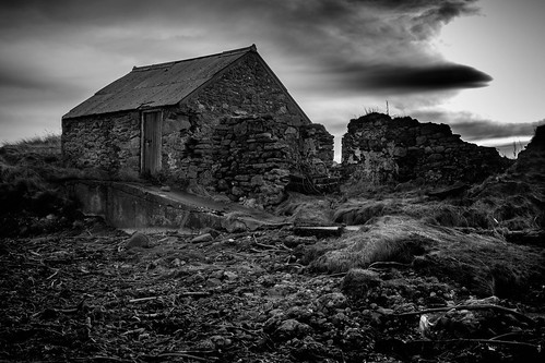
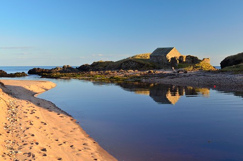
sea seaweed beach clouds scotland rocks hut fujifilm fujinon southend kintyre xt1 stevenmcdougall xf27mm
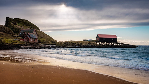
Southend , Mull Of Kintyre
scotland kintyre dunaverty
Dunaverty Beach, Kintyre
seascape landscape scotland nikon argyll southend kintyre mullofkintyre dunaverty d5100 mygearandme mygearandmepremium
Dunaverty, Southend
sea seascape beach landscape scotland nikon argyll southend kintyre campbeltown mullofkintyre dunaverty d5100 mygearandme mygearandmepremium photographyforrecreation
Dunaverty Bay, Southend
uk blue sea sky cloud island grey scotland sand cloudy unitedkingdom britain argyll hills loch causeway kintyre sealoch davaar campbeltownloch
Davaar Island, causeway, grass -- photo 3
2016-05-28 18.15.01
geotagged
Sanda Island
scotland highlands europe flickr places publication argyllshire kintyre campbeltown davaar geocity exif:iso_speed=160 exif:focal_length=182mm geostate geocountrys exif:aperture=ƒ45 andrewskeywords exif:model=canoneos5dmarkiii camera:model=canoneos5dmarkiii exif:lens=ef70200mmf28lusm14x lrmanaged geo:lat=55412583333333 geo:lon=56108166666667
Crosshill Loch and Davaar
sea sun seascape scotland ecosse mullofkintyre
Sur la route de Mull of Kintyre - Ecosse - avril 2013
Straits of Moyle from the MoK
Ireland from Mull of Kintyre
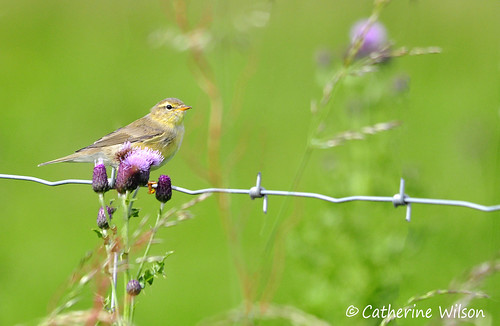
bird geotagged scotland wire nikon argyll thistle sigma escocia willow warbler schottland kintyre ecosse campbeltown phylloscopus fitis trochilus pouillot d5000 150500mm اسكتلندا
Willow warbler
Hill above Keil Caves
argyll coastline machrihanish kintyrepeninsula irelandfromscotland irelandfromkintyre
Bays and Headlands
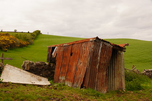
scotland argyll western kintyre campbeltown
Shed; One Careful Owner
geotagged scotland aperture soe 1854 thomasstevenson polariser campbeltown northernlighthouseboard argyllandbute davaarisland ef1740mmf4lusm lightzone canon50d davidstevenson davaarlighthouse lighthousetrek 09nd categoryblistedbuilding geo:lat=55428624 geo:lon=5541744
Davaar Island Lighthouse - 1