Elevation of Bayan-Undur, Mongolia
Location: Mongolia > Orkhon >
Longitude: 104.0884757
Latitude: 49.0314016
Elevation: 1287m / 4222feet
Barometric Pressure: 0KPa
Related Photos:

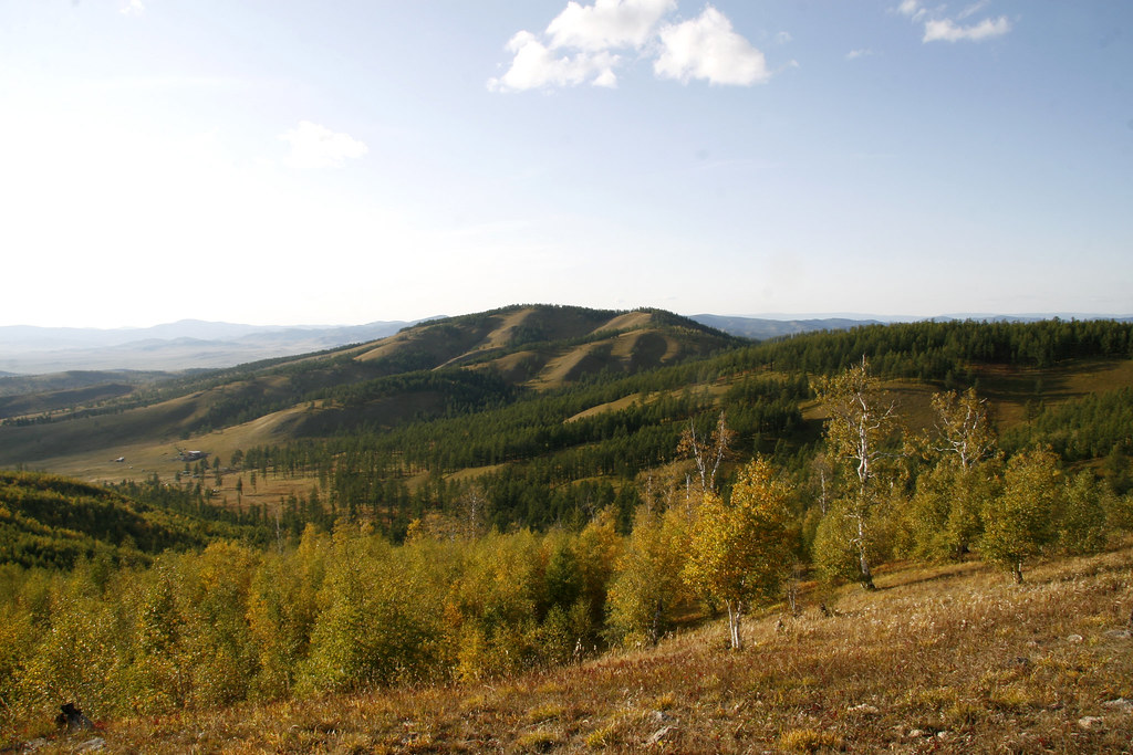
Birch Grove

The Erdenet copper mine

Erdenet Proper

Erdenet Hike 06/07/08

The copper mine

Ger District

Birch Grove

Erdenet Hike 06/07/08

Sheeps and Goat

Ski runs

2017. Davaadorj Enkhnasan (left), Entomology Researcher, Institute of Biology, Mongolian Academy of Sciences, and Karen Ripley, Forest Entomologist with the USDA Forest Service. Erdenet, Bulgan, Mongolia.

Steppe Tek

Looking for a new home

Birch Grove
Facing north

Birch Grove

Birch Grove

Birch Grove

Birch Grove

Birch Grove

Birch Grove
Topographic Map of Bayan-Undur, Mongolia
Find elevation by address:

Places in Bayan-Undur, Mongolia:
Places near Bayan-Undur, Mongolia:
Recent Searches:
- Elevation map of Greenland, Greenland
- Elevation of Sullivan Hill, New York, New York, 10002, USA
- Elevation of Morehead Road, Withrow Downs, Charlotte, Mecklenburg County, North Carolina, 28262, USA
- Elevation of 2800, Morehead Road, Withrow Downs, Charlotte, Mecklenburg County, North Carolina, 28262, USA
- Elevation of Yangbi Yi Autonomous County, Yunnan, China
- Elevation of Pingpo, Yangbi Yi Autonomous County, Yunnan, China
- Elevation of Mount Malong, Pingpo, Yangbi Yi Autonomous County, Yunnan, China
- Elevation map of Yongping County, Yunnan, China
- Elevation of North 8th Street, Palatka, Putnam County, Florida, 32177, USA
- Elevation of 107, Big Apple Road, East Palatka, Putnam County, Florida, 32131, USA
- Elevation of Jiezi, Chongzhou City, Sichuan, China
- Elevation of Chongzhou City, Sichuan, China
- Elevation of Huaiyuan, Chongzhou City, Sichuan, China
- Elevation of Qingxia, Chengdu, Sichuan, China
- Elevation of Corso Fratelli Cairoli, 35, Macerata MC, Italy
- Elevation of Tallevast Rd, Sarasota, FL, USA
- Elevation of 4th St E, Sonoma, CA, USA
- Elevation of Black Hollow Rd, Pennsdale, PA, USA
- Elevation of Oakland Ave, Williamsport, PA, USA
- Elevation of Pedrógão Grande, Portugal