Elevation of Bay Shore Dr, Plymouth, MA, USA
Location: United States > Massachusetts > Plymouth County > Plymouth >
Longitude: -70.594946
Latitude: 41.9480621
Elevation: -10000m / -32808feet
Barometric Pressure: 295KPa
Elevation Map:
Satellite Map:
Related Photos:

Harbor View

[explore] golden hour mayflower

Plimoth Plantation - 1627 English Village

Port Hole

189/365 - Boats at Rest

A View Through a Hole

Plimoth Plantation - 1627 English Village

Landing place of the Mayflower pilgrims | Plymouth Rock

PDAL-2008-FAC-094-lr

view from burial hill

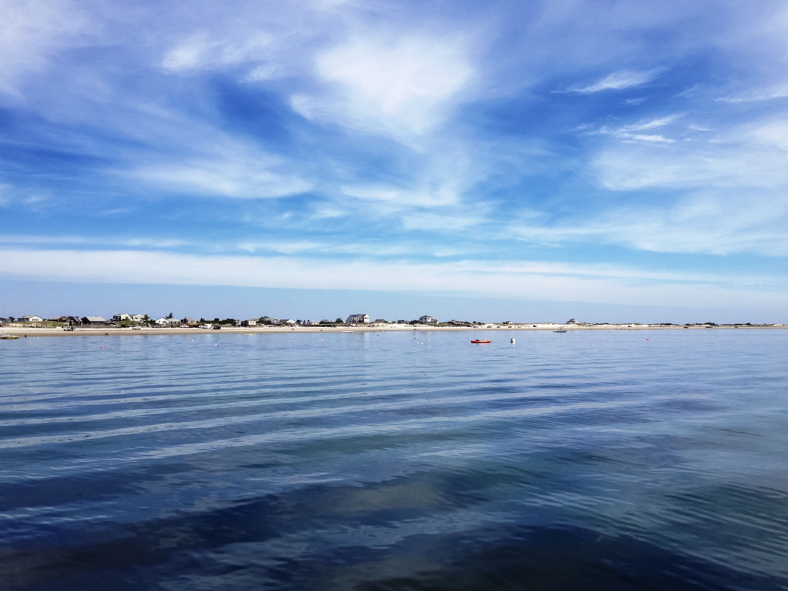
Plymouth Harbor

Ivory Gull

View of Island Creek, Duxbury

Leyden Street

Marbled Godwit

A settler's wife

Vacation Revisited

PDAL-2008-FAC-018-lr

PDAL-2008-FAC-021-lr

Waterfront Trail, Ant's View

The actual Plymouth Rock where the pilgrims landed

Morning on the Beach

Bench at Plymouth Light
Blue Day | Saquish Beach, Plymouth, Massachusetts | HSoS
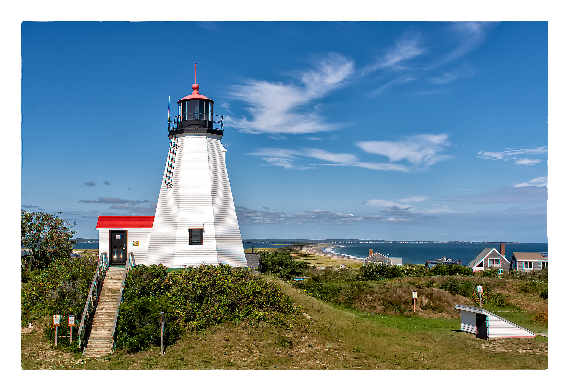
Plymouth Light Station

HMS Bounty / Mayflower II

Plymouth Harbor

Green Harbor, MA

Beach Grass

HMS Bounty

Snow aerodynamics

Old Burial Hill

Plymouth, MA

Along the Rail Trail

Stranger in a Strange Land

Manomet Point
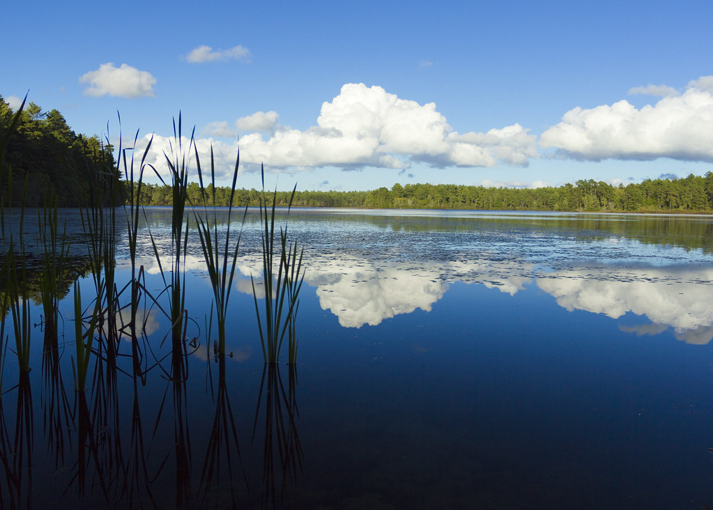
East Head Pond

Morning Glow

Manomet Point

Manomet Point

41 Blue Heron Aerial-5

William Ave. Pathway
Topographic Map of Bay Shore Dr, Plymouth, MA, USA
Find elevation by address:

Places near Bay Shore Dr, Plymouth, MA, USA:
47 Rocky Hill Rd
353 Ma-3a
353 Ma-3a
Serious Cycles
196 Warren Ave
192 Warren Ave
Pilgrim Nuclear Station
196 Warren Ave
Manomet Hill
Entergy Nuclear Operations
Warren Ave, Plymouth, MA, USA
156 Warren Ave
156 Warren Ave
65 Clifford Rd
53 Turnberry Dr
17 Patriot Cir
38 Priscilla Beach Rd
Birmingham
Cary Road
39 Cary Rd
Recent Searches:
- Elevation of Corso Fratelli Cairoli, 35, Macerata MC, Italy
- Elevation of Tallevast Rd, Sarasota, FL, USA
- Elevation of 4th St E, Sonoma, CA, USA
- Elevation of Black Hollow Rd, Pennsdale, PA, USA
- Elevation of Oakland Ave, Williamsport, PA, USA
- Elevation of Pedrógão Grande, Portugal
- Elevation of Klee Dr, Martinsburg, WV, USA
- Elevation of Via Roma, Pieranica CR, Italy
- Elevation of Tavkvetili Mountain, Georgia
- Elevation of Hartfords Bluff Cir, Mt Pleasant, SC, USA