Elevation of Bauzenweiler, Leutershausen, Germany

Location: Austria > Bavaria > Middle Franconia > Leutershausen >

Longitude: 10.4022343

Latitude: 49.3289021

Elevation: 444m / 1457feet

Barometric Pressure: 96KPa

Elevation Map:

elevation map of Bauzenweiler, Leutershausen, Germany

Satellite Map:

Satellite map of Bauzenweiler, Leutershausen, Germany

Related Photos:

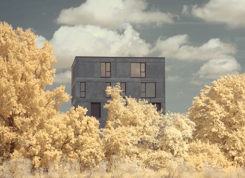
architecture germany landscape bayern bavaria pentax gimp infrared manualfocus helios ansbach k100d 680nm 44k4
Infrared landscape and architecture (Ansbach/Bavaria)
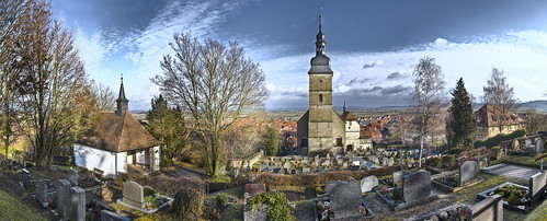
panorama friedhof church cemetery germany bayern deutschland cementerio iglesia kirche franconia chiesa alemania franken église kerk hdr germania cimetière baviera cementiri franconie església alemagne johanniskirche bavière burgbernheim gasthofzumgoldenenhirschen
St. Johanneskirche, Burgbernheim (D)
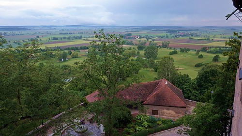
germany bavaria franconia colmberg
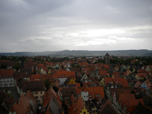
View from Colmberg Castle
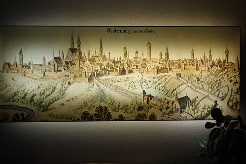
de bayern rothenburgobdertauber ドイツ連邦共和国
A bird's-eye view of Rothenburg
castle germany bavaria view colmberg
View from Colmberg Castle
castle germany bavaria view colmberg
View of Colmberg from castle
architecture medieval ansbach
Medieval Town Center of Ansbach
bridge medieval ansbach redzat
Town walls
travel vacation tower germany europe rothenburg 2011 europe2011
View of Rothenburg from the top of the tower
de bayern deutschland landschaft nachtaufnahme langzeitbelichtung fischauge colmberg landschaftweitwinkel
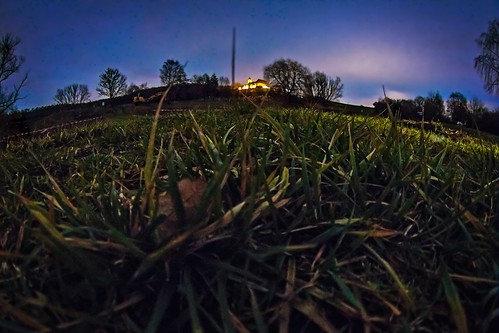
point of view
germany leutershausen
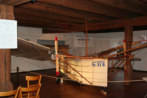
No. 21: full view
tree forest spring beech patg
spring forest
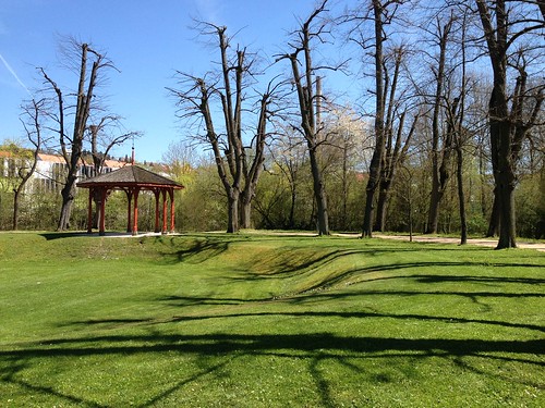
Ansbach, April2016
city longexposure blue trees red urban white reflection green cars water yellow buildings germany landscape outdoors bavaria graffiti canal photo nikon artist driving traffic streetlights picture blurred headlights flare flowing lamps dslr tagging taillights 36crazyfists flaring ansbach d7000 theallnightlights
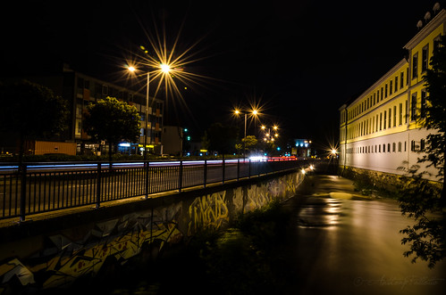
The All Night Lights II
pentax analog scan 600dpi darktable 2010 landscape mz7 pentaxmz7
Rothenburg 3
november herbst natur wald baum 2014 ansbach scheerweiher floriannagel
IMG_4311.jpg
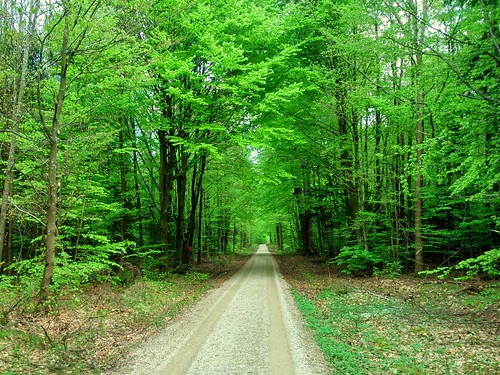
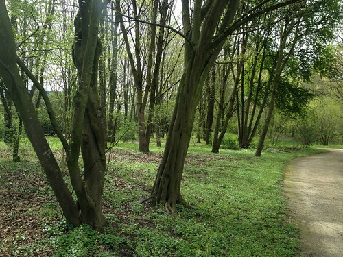
tree green forest spring path beech
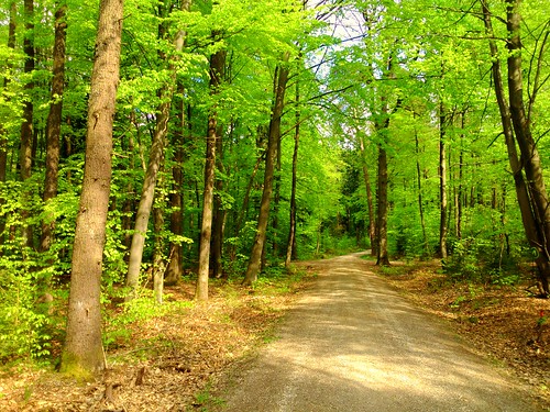
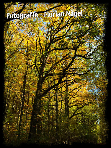
forest path in spring
city houses sky urban lines station clouds train buildings germany landscape outdoors bavaria town photo nikon tracks picture trains boxcar poles split dslr tone gojira toning ansbach thewayofallflesh d7000
The Way Of All Flesh
germany bavaria
Colmberg Village. Franconia. Bavaria
American Football
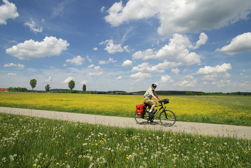
blumen fahrrad wiesenblumen rtgemündengarmisch
Radeln im Altmühltal
november panorama herbst natur wald hdr 2014 ansbach weiher scheerweiher floriannagel
IMG_4290-2-Bearbeitet-2.jpg
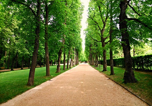
trees alley path parc hofgarten ansbach
Hofgarten Allee
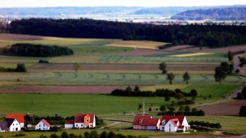
germany bavaria sony franconia industar nex
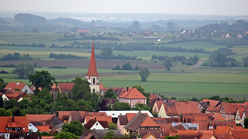
Toy Village in Franconia, Bavaria
Ansbach, April2016
leutershausen bayern deutschland de hdr tonemapping landschaftweitwinkel himmel wolken felder wald canon eos70d
Am Rand der Welt Vol. 1
leutershausen bayern deutschland de hdr landschaft bäume felder sonnenuntergang sonne himmel wolken
Am Rand der Welt Vol. 2
houses sky urban bw panorama white black cars buildings germany landscape outdoors bavaria graffiti photo nikon tracks picture trains panoramic trainstation rails poles dslr ansbach d7000
IVα
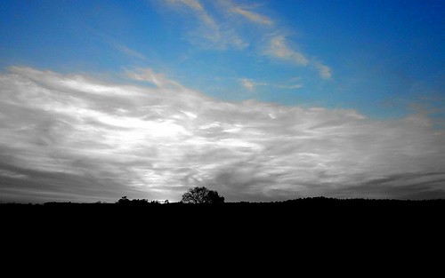
blue sky horizon
blue sky
umgebung ansbach
Baum in der untergehenden Sonne
colmberg bayern deutschland de eiche langzeitbelichtung nachtaufnahme wolken hdr canon eos70d
Long Time Ago