Elevation of Batu Hijau mine, Tongo, Sekongkang, West Sumbawa Regency, West Nusa Tenggara, Indonesia
Location: Indonesia > West Nusa Tenggara >
Longitude: 116.857014
Latitude: -8.9687751
Elevation: 472m / 1549feet
Barometric Pressure: 96KPa
Elevation Map:
Satellite Map:
Related Photos:
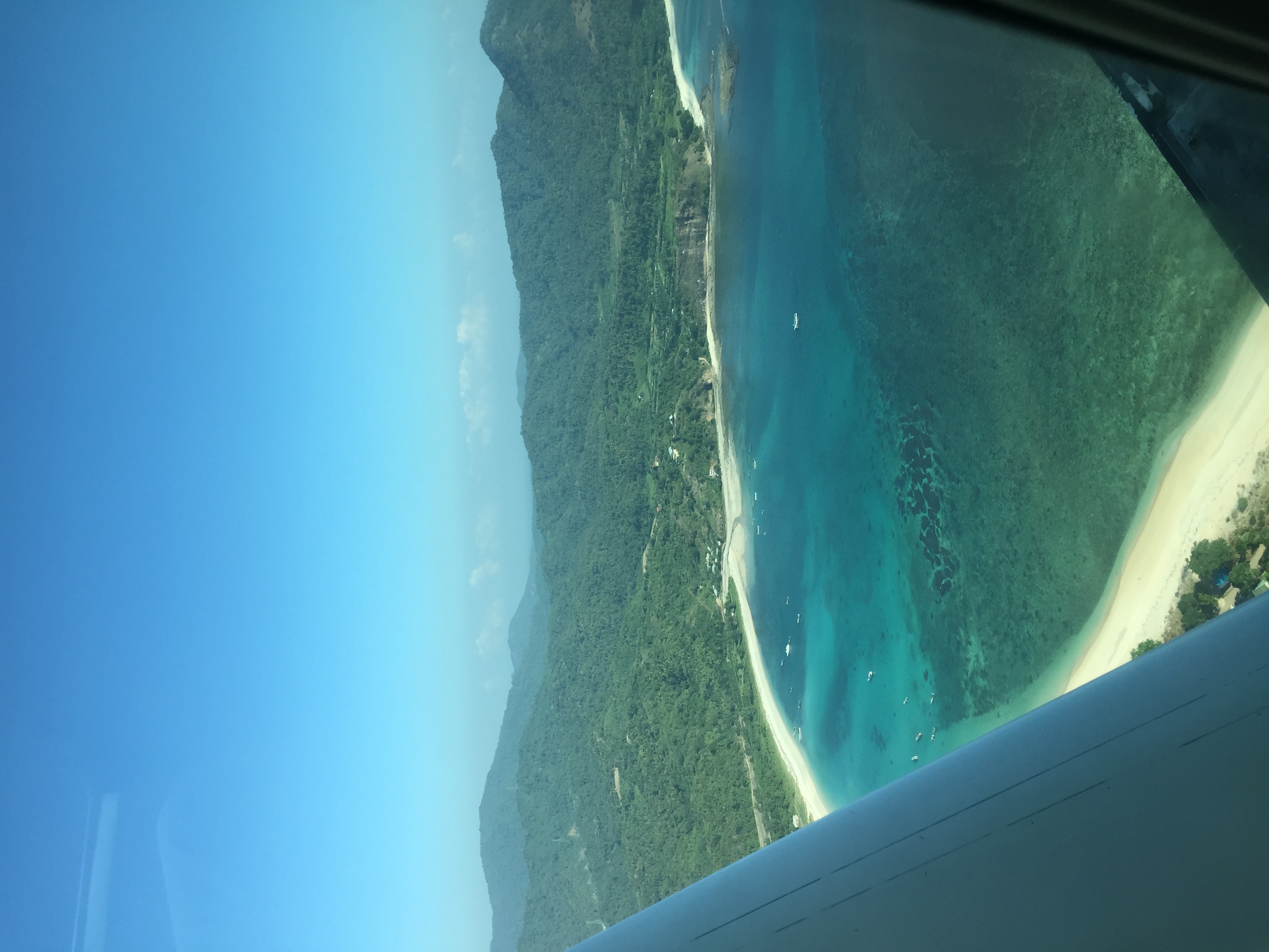
Aerial view
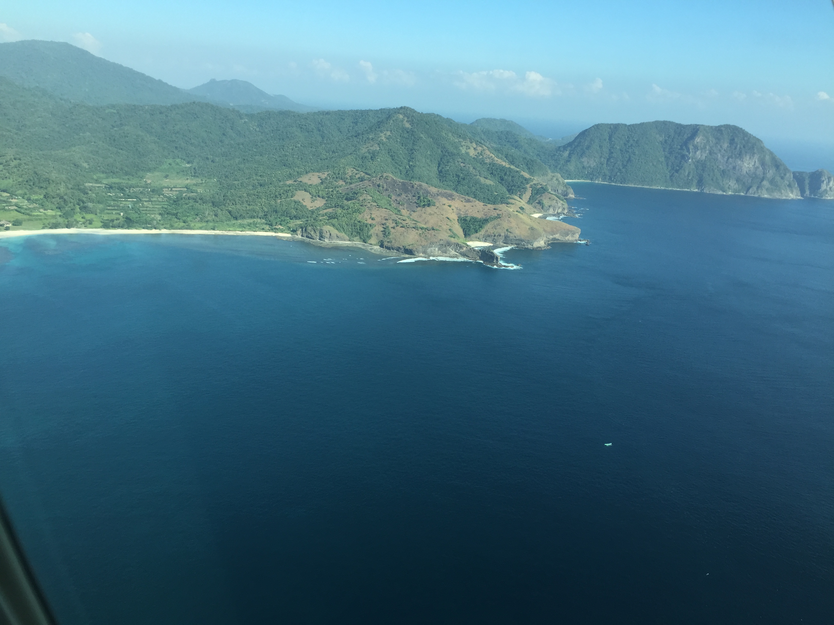
Aerial view
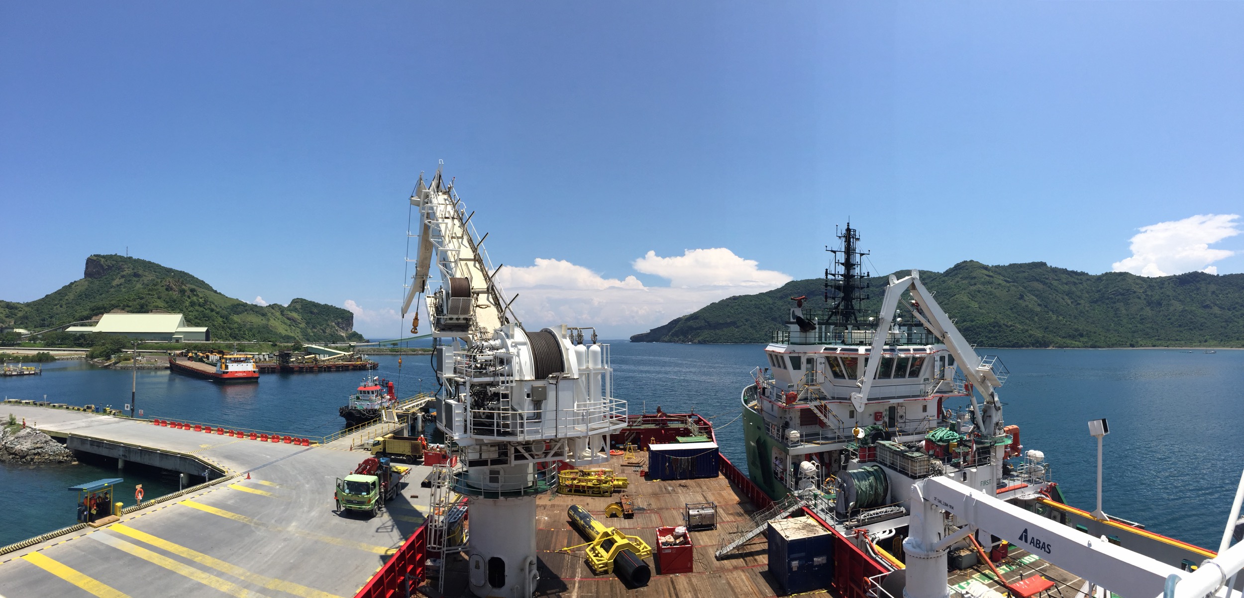
View from the deck

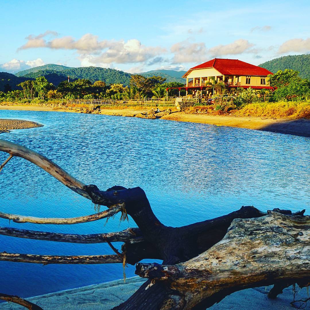
My barak panoramic view

Yesterday sunset. #sunsetporn #sunsets #sunset???? #ig_sunsetshots #fav_skies #enchanting_sunsets #pocket_sky

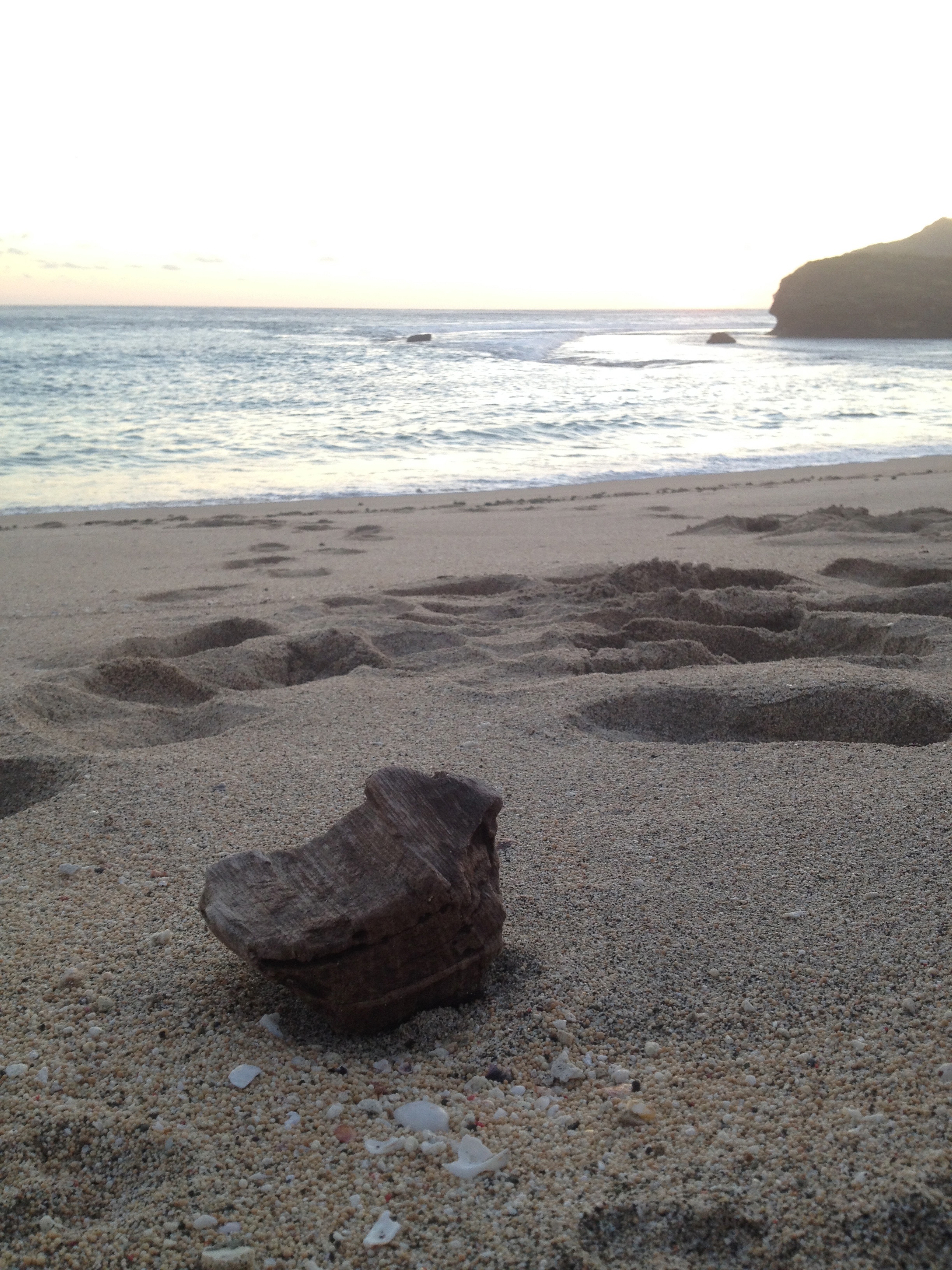
Tropical Beach, Sumbawa
#home #house #landscape_lover #landscape #pocket_nature #pocket_house #fav_skies #azphotoz

Just the two of us

Tropi beach
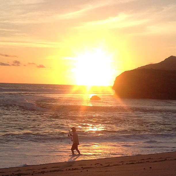
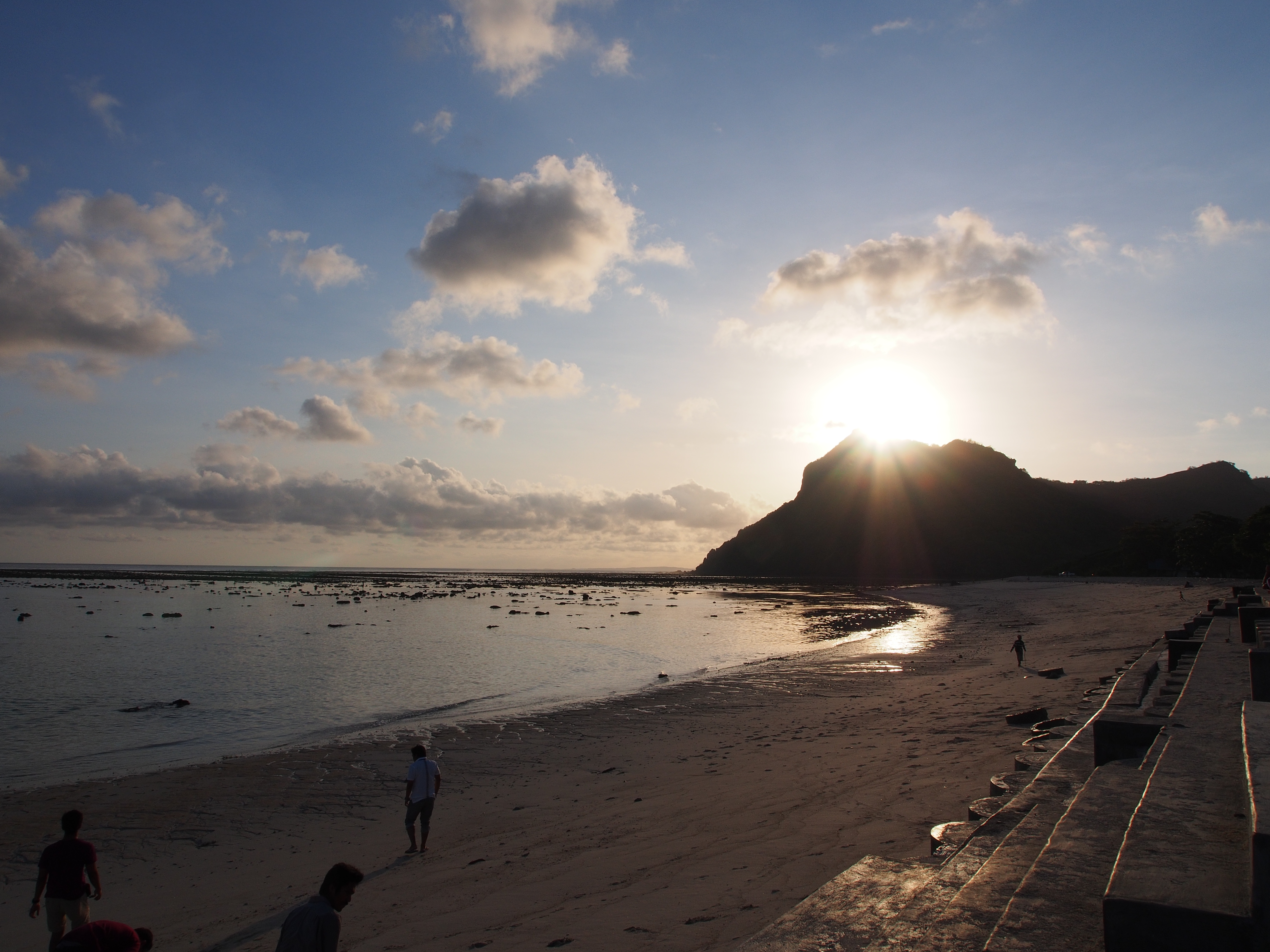
Gone fishing by sunset

beach panorama
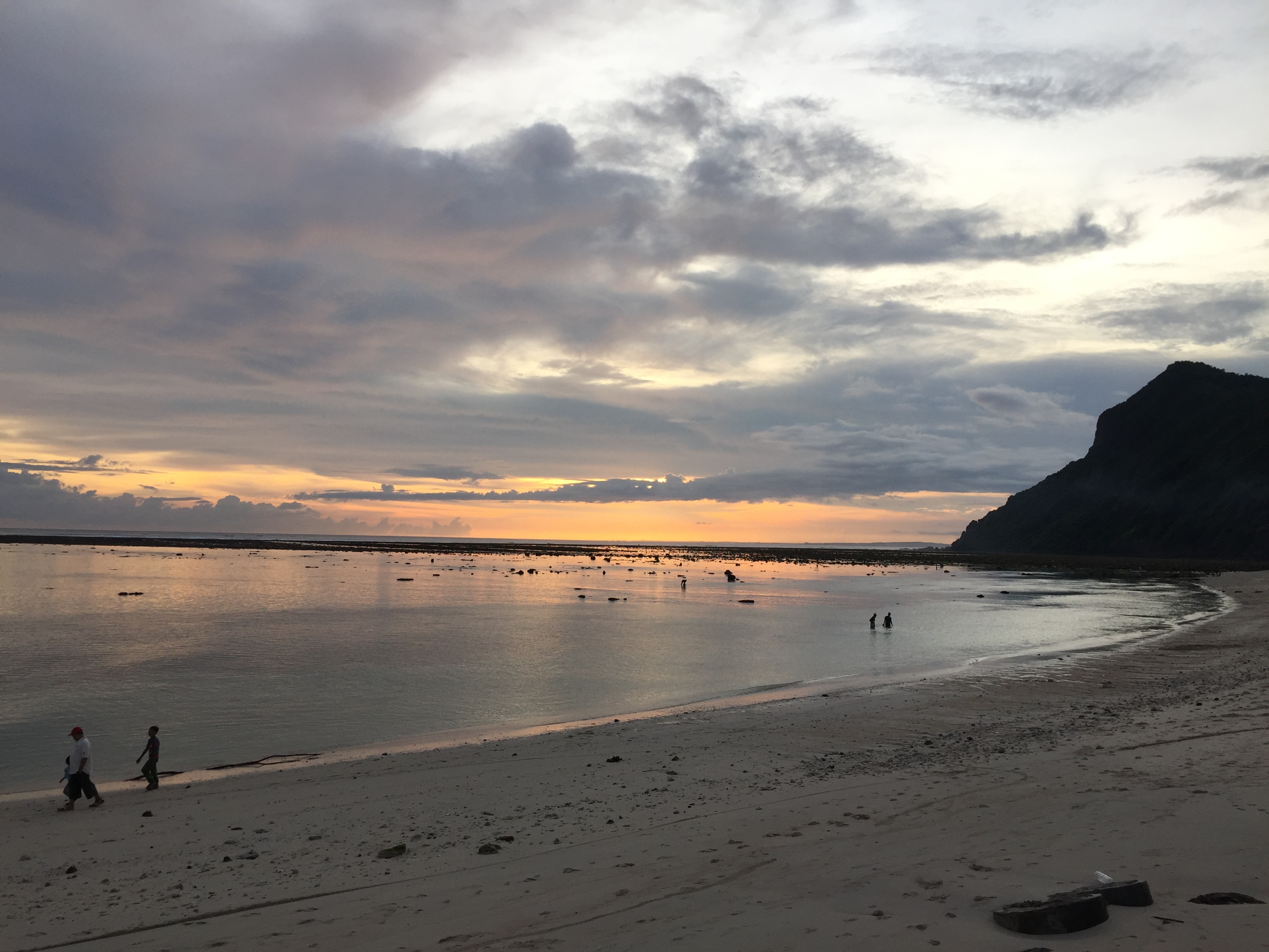
Morning in Benete bay

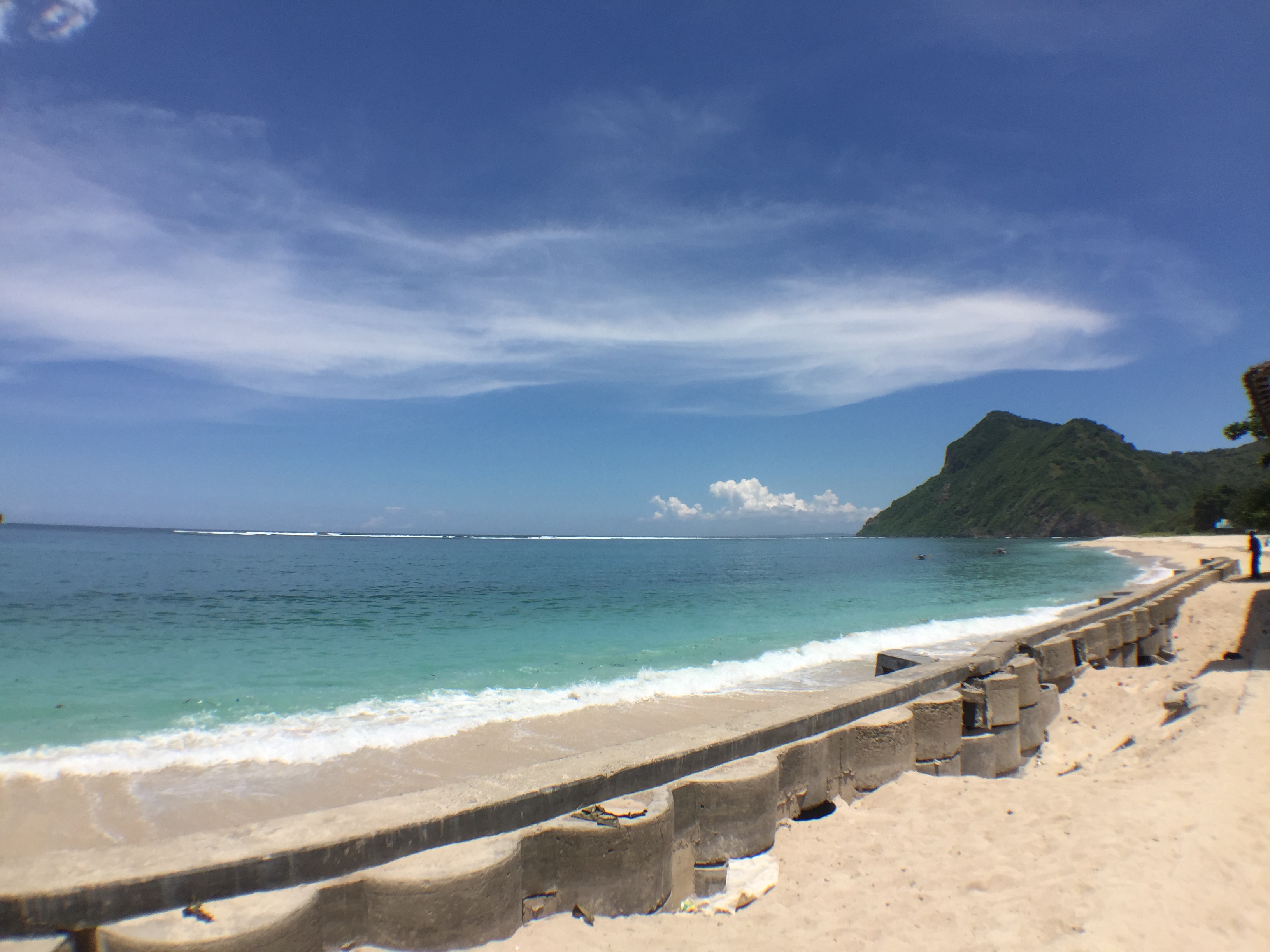
sekongkang beach

gone fishing
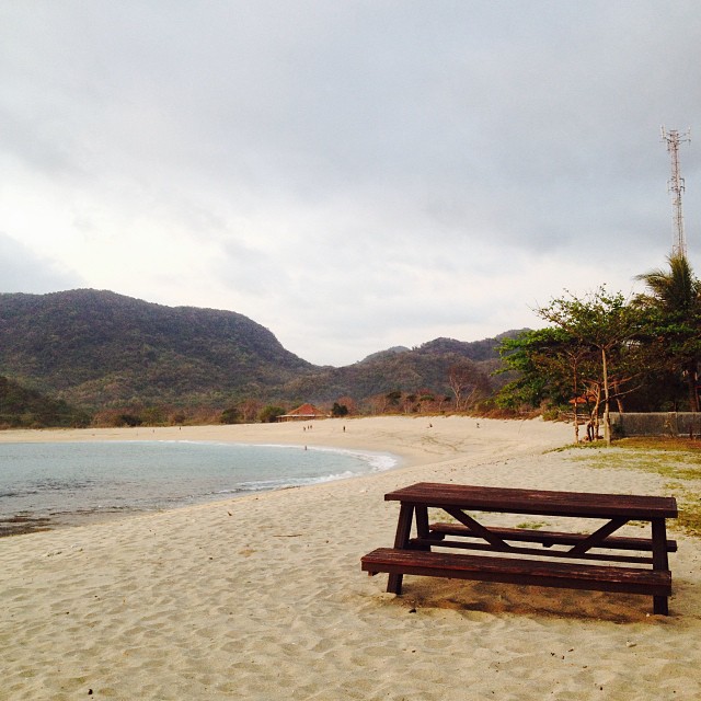
Bangku kosong
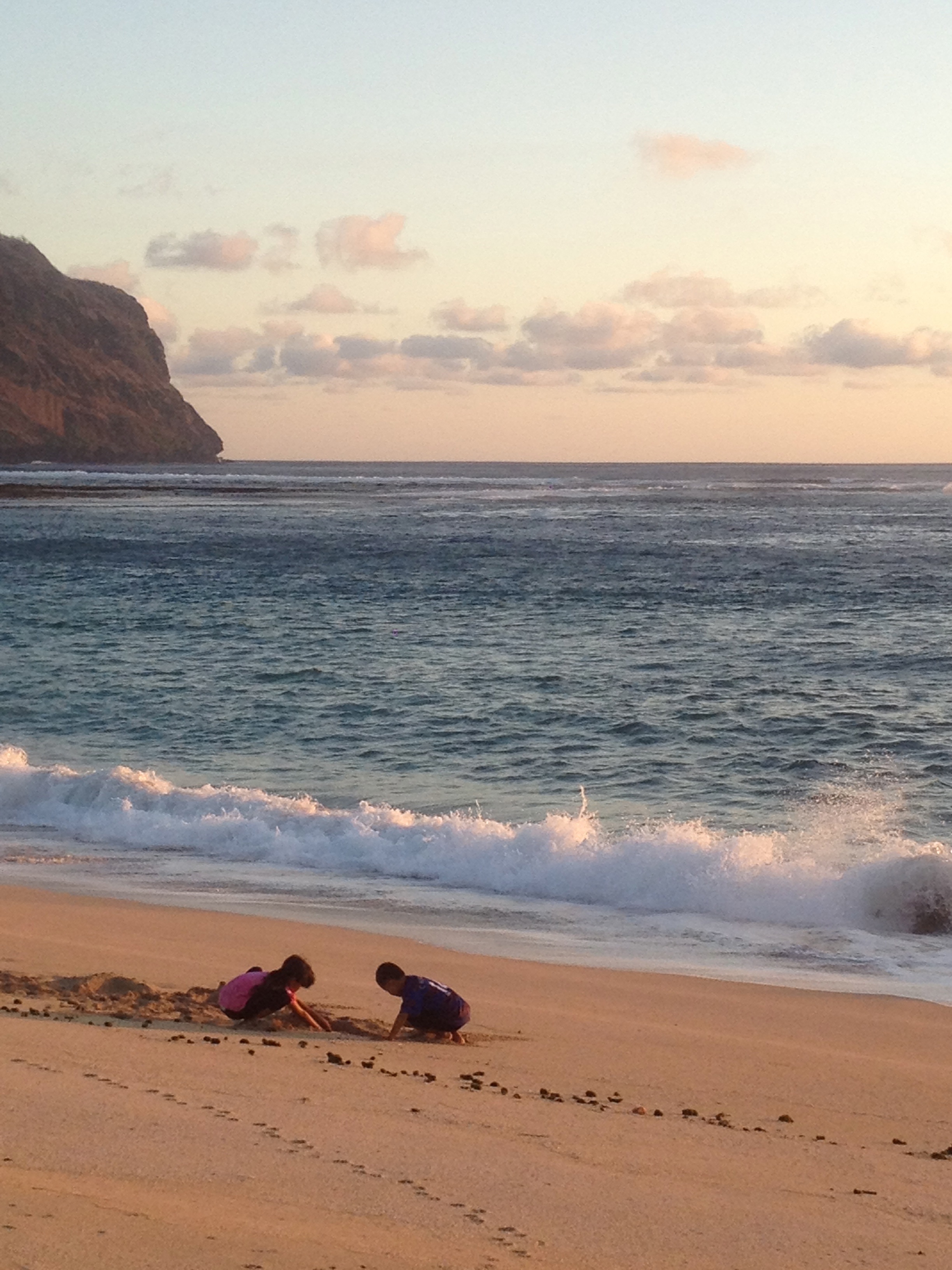
two by the beach
rock the beach

Sumbawa landscape
Maluk beach

Maluk beach

Maluk beach
Maluk beach

Maluk beach

Processing concentrate
Afternoon before break fasting at Maluk Beach
Topographic Map of Batu Hijau mine, Tongo, Sekongkang, West Sumbawa Regency, West Nusa Tenggara, Indonesia
Find elevation by address:

Places near Batu Hijau mine, Tongo, Sekongkang, West Sumbawa Regency, West Nusa Tenggara, Indonesia:
West Sumbawa Regency
Kuang
Kuang
Taliwang
West Nusa Tenggara
Sumbawa Regency
Sumbawa Besar
Seketeng
Sumbawa Sub-district
Recent Searches:
- Elevation of Corso Fratelli Cairoli, 35, Macerata MC, Italy
- Elevation of Tallevast Rd, Sarasota, FL, USA
- Elevation of 4th St E, Sonoma, CA, USA
- Elevation of Black Hollow Rd, Pennsdale, PA, USA
- Elevation of Oakland Ave, Williamsport, PA, USA
- Elevation of Pedrógão Grande, Portugal
- Elevation of Klee Dr, Martinsburg, WV, USA
- Elevation of Via Roma, Pieranica CR, Italy
- Elevation of Tavkvetili Mountain, Georgia
- Elevation of Hartfords Bluff Cir, Mt Pleasant, SC, USA