Elevation of Bashdahar, Hailakandi, Assam, India
Location: India > Assam > Hailakandi > Narainpur Pt V >
Longitude: 92.5653582
Latitude: 24.6811912
Elevation: 28m / 92feet
Barometric Pressure: 101KPa
Elevation Map:
Satellite Map:
Related Photos:
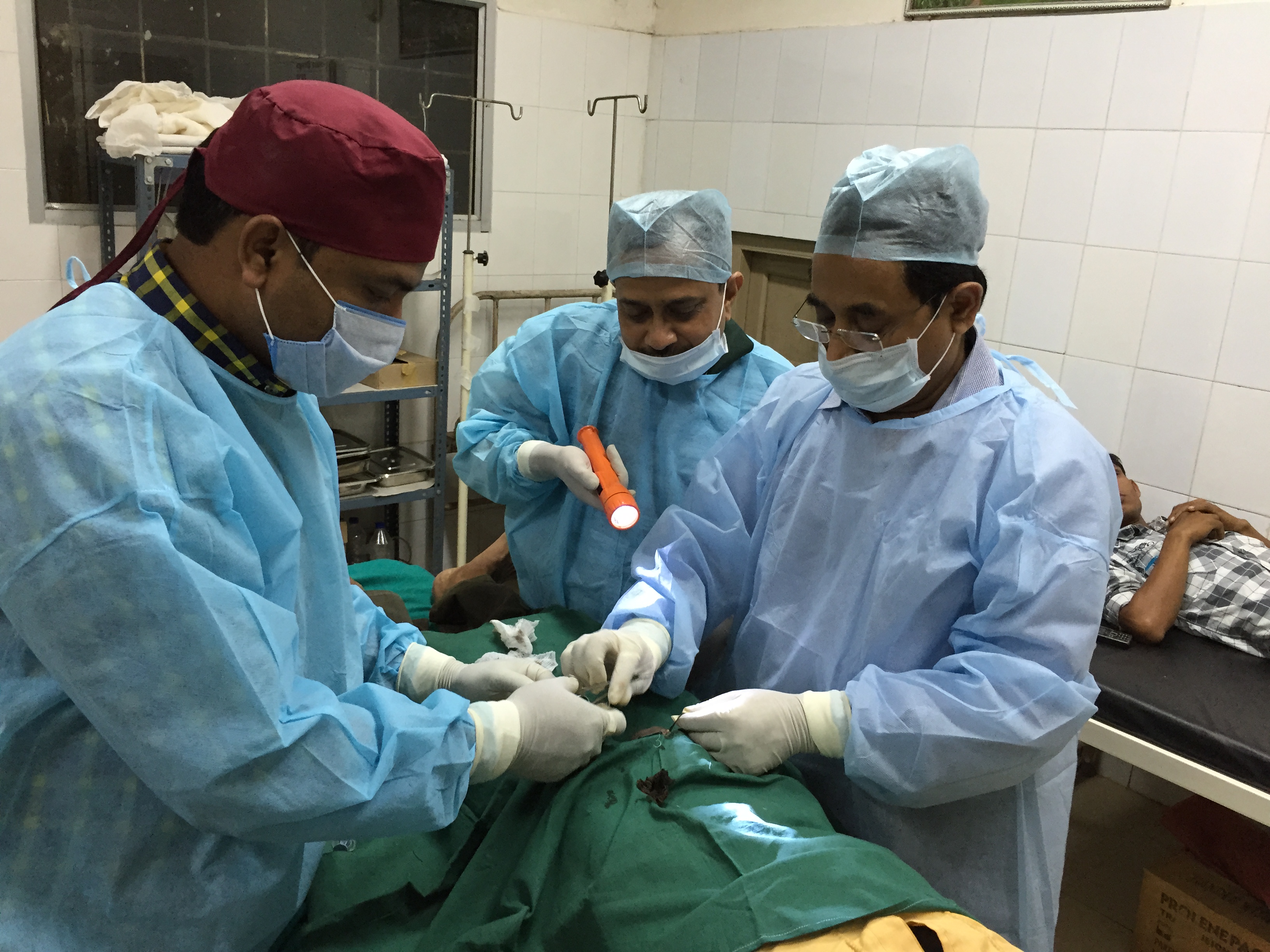
Awareness on birth control in Assam’s Hailakandi
Topographic Map of Bashdahar, Hailakandi, Assam, India
Find elevation by address:

Places in Bashdahar, Hailakandi, Assam, India:
Places near Bashdahar, Hailakandi, Assam, India:
Old Hospital Rd, Bashdahar, Hailakandi, Assam, India
Narainpur Pt V
Karimganj
Hailakandi
Silchar
Karimganj
Zakiganj
Panchogar School & College
Tea Stall
Barthal
Beanibazar
Kanaighat
Bairabi
Lumsnang
Kolasib
Golapganj
Bualpui
Fenchuganj Upazila
East Jaintia Hills
Jaintapur
Recent Searches:
- Elevation of Corso Fratelli Cairoli, 35, Macerata MC, Italy
- Elevation of Tallevast Rd, Sarasota, FL, USA
- Elevation of 4th St E, Sonoma, CA, USA
- Elevation of Black Hollow Rd, Pennsdale, PA, USA
- Elevation of Oakland Ave, Williamsport, PA, USA
- Elevation of Pedrógão Grande, Portugal
- Elevation of Klee Dr, Martinsburg, WV, USA
- Elevation of Via Roma, Pieranica CR, Italy
- Elevation of Tavkvetili Mountain, Georgia
- Elevation of Hartfords Bluff Cir, Mt Pleasant, SC, USA