Elevation of Barton Township, IN, USA

Location: United States > Indiana > Gibson County >

Longitude: -87.400916

Latitude: 38.2246371

Elevation: 136m / 446feet

Barometric Pressure: 100KPa

Elevation Map:

elevation map of Barton Township, IN, USA

Satellite Map:

Satellite map of Barton Township, IN, USA

Related Photos:

girls people woman usa signs man color men history boys kids buildings walking advertising children awning clothing cafe women crowd hats restaurants indiana streetscene transportation drugs shops pedestrians hotels storefronts buggy clocks buggies businesses wagons oaklandcity jeweler gibsoncounty hoosierrecollections
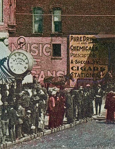
Saturday in Oakland City, Indiana, close-up section 2
girls people woman usa signs man color men history boys kids buildings walking advertising children awning clothing cafe women crowd hats restaurants indiana streetscene transportation drugs shops pedestrians hotels storefronts buggy clocks buggies businesses wagons oaklandcity jeweler gibsoncounty hoosierrecollections
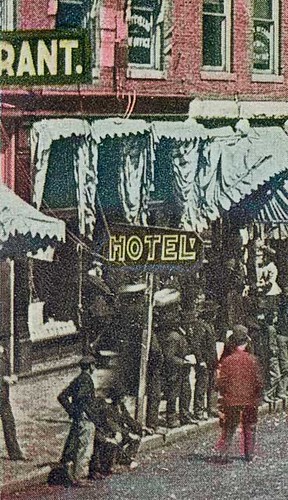
Saturday in Oakland City, Indiana, close-up section 1
geotagged geo:lat=38191978 geo:lon=87326117
Reaching For A Piece Of The Sun... (We all reach for that star sometimes)
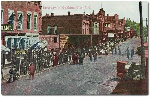
advertising awning boys buggies buggy buildings businesses cafe children clocks clothing color crowd drugs girls hats hotels jeweler kids man men pedestrians people restaurants shops signs storefronts streetscene transportation wagons walking woman women oaklandcity indiana usa gibsoncounty history hoosierrecollections
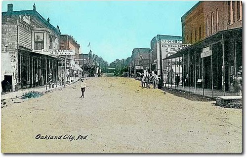
Saturday in Oakland City, Indiana
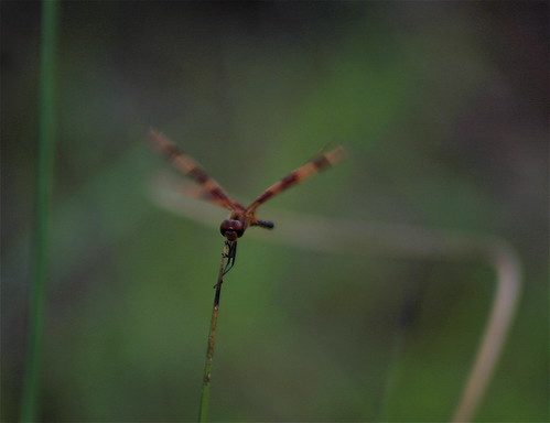
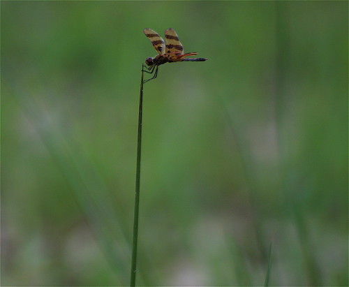
grass insect pond dof mud dragonfly bokeh straw bank indiana southernindiana hoosiernationalforest flyinginsect i64east
Wings In Motion
girls people woman usa signs man color men history boys kids buildings walking advertising children awning clothing cafe women crowd hats restaurants indiana streetscene transportation drugs shops pedestrians hotels storefronts buggy clocks buggies businesses wagons oaklandcity jeweler gibsoncounty hoosierrecollections
Saturday in Oakland City, Indiana, close-up section 3
geotagged geo:lat=38192003 geo:lon=87332522
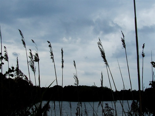
A Beautiful View, On A Cloudy Day
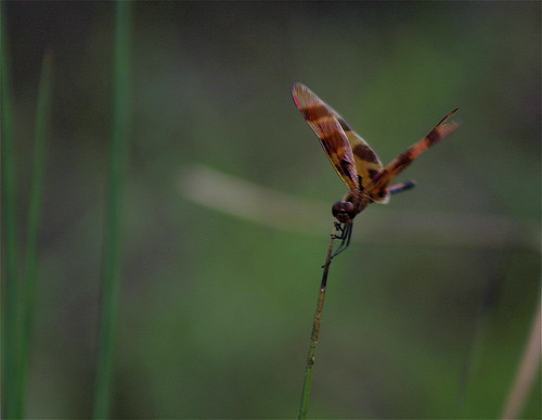
grass insect pond dof mud dragonfly bokeh straw bank indiana southernindiana hoosiernationalforest flyinginsect i64east
"If You Like Piña Coladas And...."
rural insect geotagged pond dof dragonfly bokeh indiana southernindiana hoosiernationalforest flyinginsect takeabow i64east geo:lat=38192003 geo:lon=87315409
That's A Big Straw!!
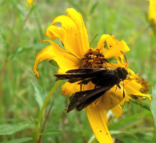
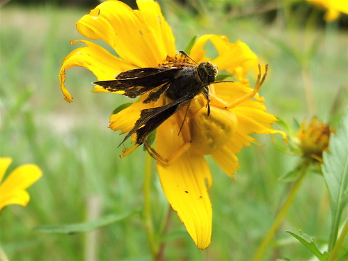
flower butterfly geotagged spider pod skipper award indiana southernindiana pow wildflower invite drainageditch yellowspider superbmasterpiece onlythebestare 1on1naturephotooftheweek geo:lat=38191944 geo:lon=87325612 hoosiernationalforrest 1on1naturephotooftheweekoctober2007 jasonpresser 11223344556677 bestofformyspacestation
Worse For Wear... (A Reprise)
people usa signs color men history industry boys kids buildings walking advertising children women indiana streetscene flags machinery transportation pedestrians storefronts businesses wagons oaklandcity gibsoncounty hoosierrecollections
Main Street looking north, Oakland City, Indiana
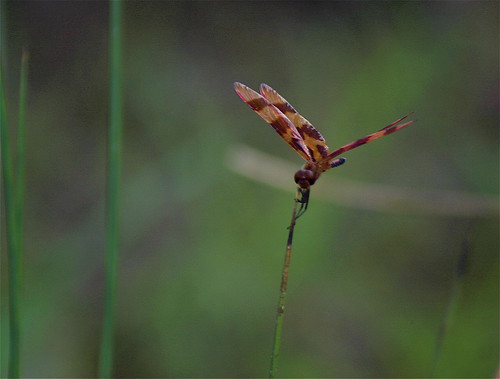
grass insect pond dof mud dragonfly bokeh straw bank indiana southernindiana hoosiernationalforest flyinginsect i64east
Standing Stiff
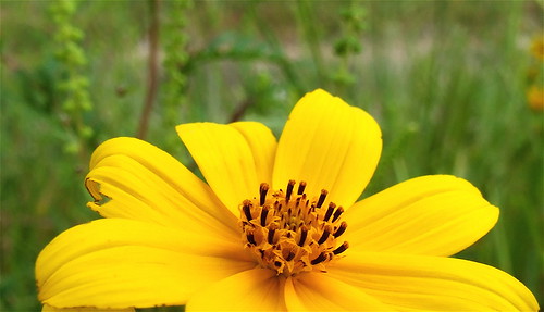
flower butterfly geotagged spider skipper indiana southernindiana wildflower drainageditch yellowspider top20flowersandbugs top20yellow theobligatoryflowerpicture geo:lat=38191986 geo:lon=87325805 hoosiernationalforrest
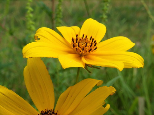
Worse For Wear.....
geotagged geo:lat=38192129 geo:lon=87333691
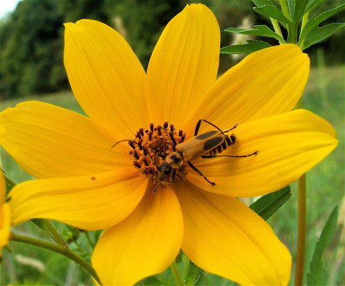
A Soldier's Work Is Never Done
geotagged geo:lat=38192112 geo:lon=87333573
Wildflowers In Hoosier National Forest
water insect geotagged pond dof dragonfly bokeh award indiana depthoffield southernindiana onwhite invite onblack flyinginsect mywinners mywinner geo:lat=38199946 geo:lon=87227701 reclaimedstripmine bestofformyspacestation
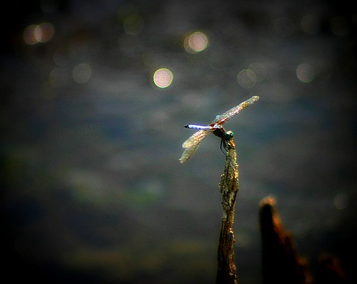
Wings in the Sun
colors insect geotagged weed colours dragonfly indiana southernindiana impressionism perched dots landed picnik flyinginsect colordots geo:lat=38199933 geo:lon=87227669
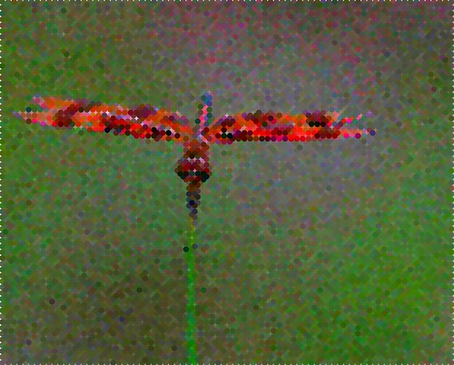
An Impressionist's Dragonfly
sd402 isrr indianasouthern isrr3371
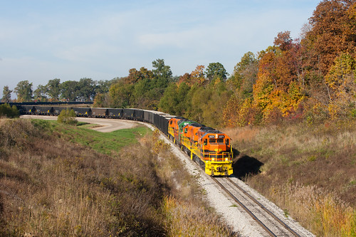
ISRR 3371 Somerville IN 23 Oct 2014b
panorama sony mining coal hugin nex6
Warrick County Coal Surface Mining (Strip Mine)
fishin'
sd402 isrr isrr3371 indiaansouthern
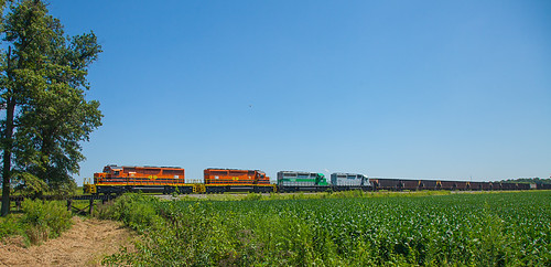
ISRR 3371 Buckskin IN 24 Aug 2013
square sierra squareformat iphoneography instagramapp uploaded:by=instagram foursquare:venue=4c09971fffb8c9b6813b6a61
Indiana sunset
sony boulder coal bulldozer coalmine stripmine hx90v
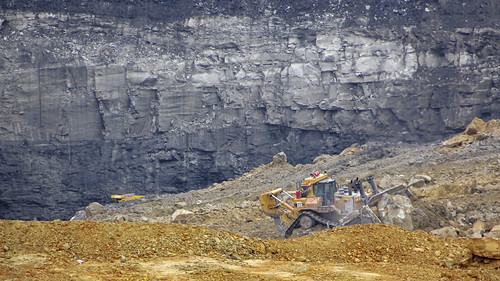
Coal Mine
indiana oil gibson pumpjack gibsoncounty omegaenergy
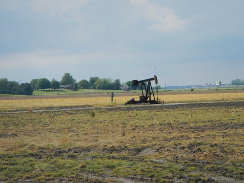
Pump jack
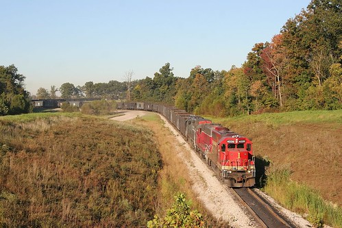
indiana somerville gp40 isrr indianasouthern isrr4039
ISRR 4039 Somerville IN 08 Oct 2006
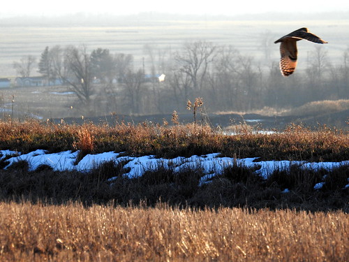
indiana owl birdsofprey seow tombecker shortearedowl gibsoncounty somervillemine
Short-eared Owl 1-14-2016 by Tom Becker
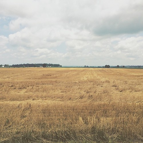
square squareformat iphoneography instagramapp uploaded:by=instagram
Amber waves of grain and whatnot #indiana #haubstadt #rurallife #rural #farming #farm #field #country #simplebeauty
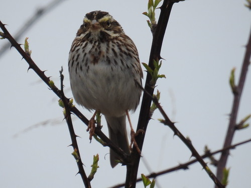
indiana tombecker savannahsparrow passerine gibsoncounty sasp patokarivernwr
Savannah Sparrow 3-25-2016 by Tom Becker
evansville
Bluegrass Sunrise 02
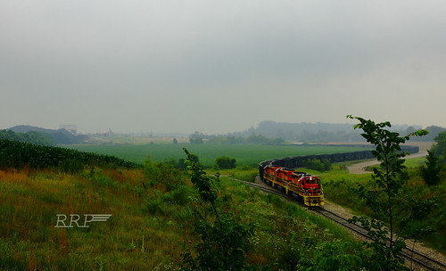
railroad rain fog train indiana southern coal emd sd402
No Matter What
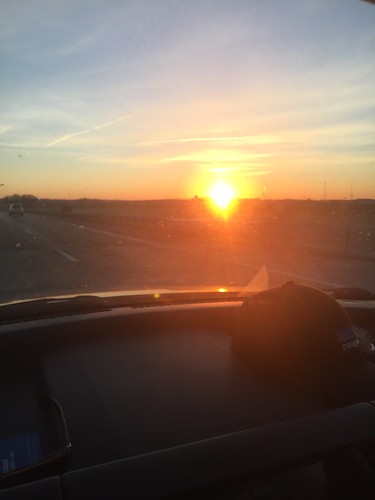
Cross country trip
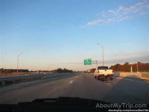
usa unitedstates indiana roadtrip gibsoncounty aboutmytripdotcom
Gibson County, Indiana
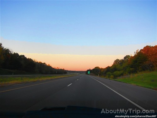
usa unitedstates indiana roadtrip warrickcounty aboutmytripdotcom
Indiana, Warrick County