Elevation of Barnhill Rd, Galivants Ferry, SC, USA
Location: United States > South Carolina > Horry County > Galivants Ferry >
Longitude: -79.175738
Latitude: 34.05031
Elevation: 23m / 75feet
Barometric Pressure: 101KPa
Elevation Map:
Satellite Map:
Related Photos:
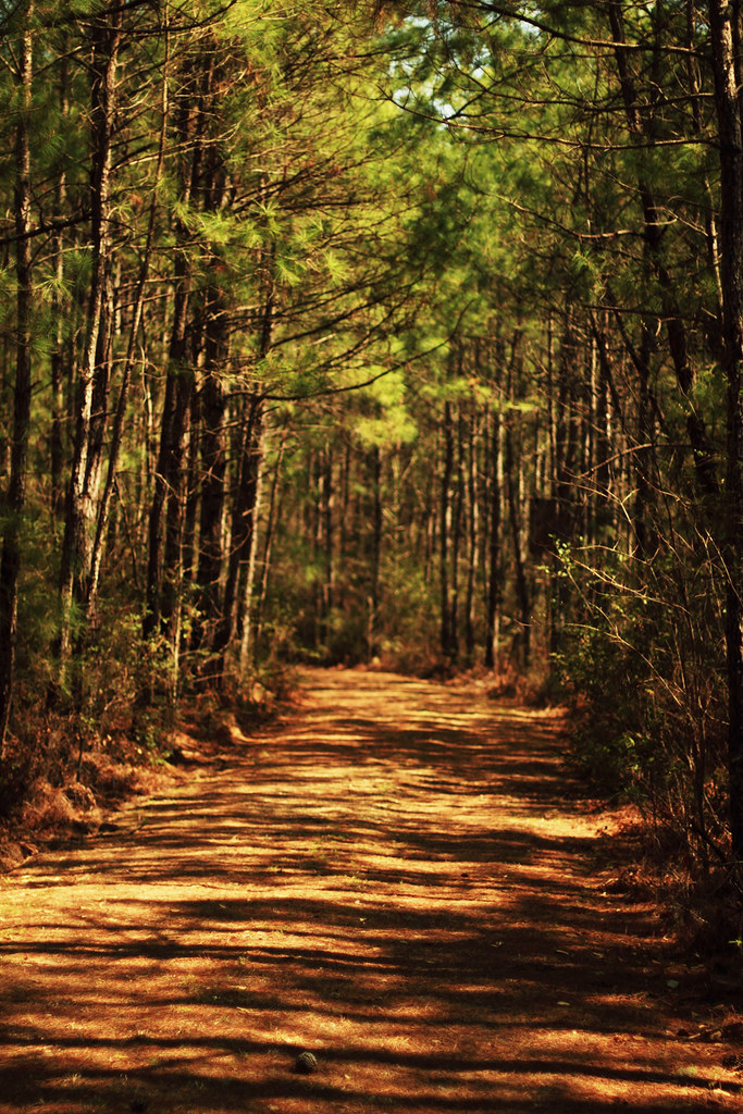
Forest Path
Topographic Map of Barnhill Rd, Galivants Ferry, SC, USA
Find elevation by address:

Places near Barnhill Rd, Galivants Ferry, SC, USA:
Amber Lane
301 Farm Trac Dr
301 Farm Trac Dr
Farm Trac Drive
Golden Leaf Road
345 Farm Trac Dr
3341 Huckleberry Rd
3551 Methodist Rehobeth Rd
3403 Joyner Swamp Rd
Aynor
9th Ave, Aynor, SC, USA
Aynor High School
Galivants Ferry
332 Millbrook Cir
211 Farmers Grove Dr
211 Farmers Grove Dr
398 Jordanville Rd
1400 Butler Rd
185 White Arrow Ln
455 Roberts Rd
Recent Searches:
- Elevation of Corso Fratelli Cairoli, 35, Macerata MC, Italy
- Elevation of Tallevast Rd, Sarasota, FL, USA
- Elevation of 4th St E, Sonoma, CA, USA
- Elevation of Black Hollow Rd, Pennsdale, PA, USA
- Elevation of Oakland Ave, Williamsport, PA, USA
- Elevation of Pedrógão Grande, Portugal
- Elevation of Klee Dr, Martinsburg, WV, USA
- Elevation of Via Roma, Pieranica CR, Italy
- Elevation of Tavkvetili Mountain, Georgia
- Elevation of Hartfords Bluff Cir, Mt Pleasant, SC, USA