Elevation of Barnard, KS, USA
Location: United States > Kansas > Lincoln County > Scott >
Longitude: -98.0419914
Latitude: 39.1905604
Elevation: 402m / 1319feet
Barometric Pressure: 0KPa
Related Photos:
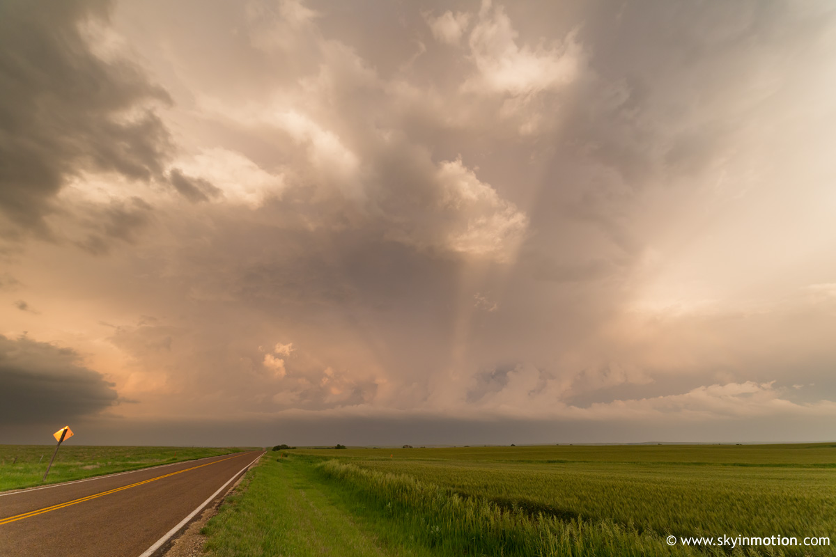
2013-05-28_2386

Farmart...!!

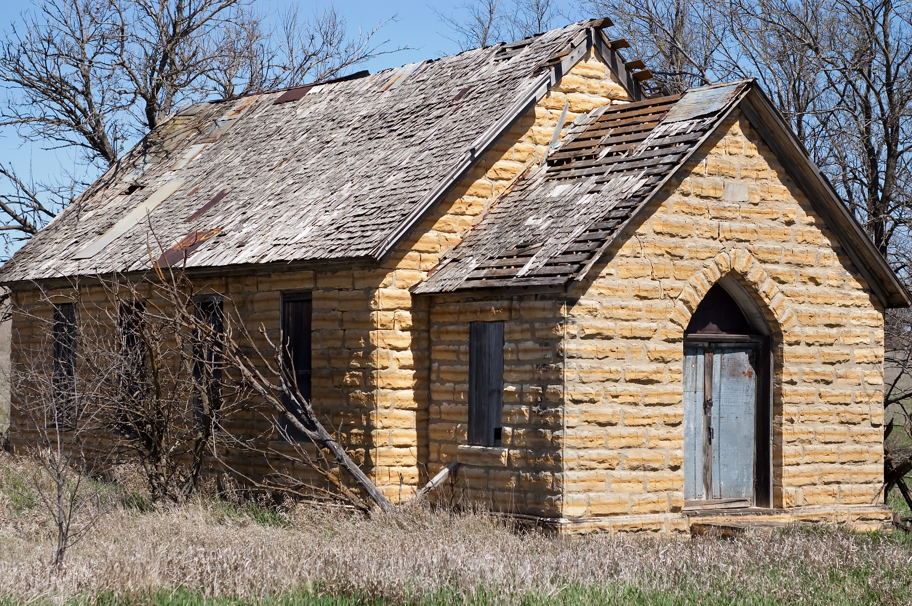
A new Lease
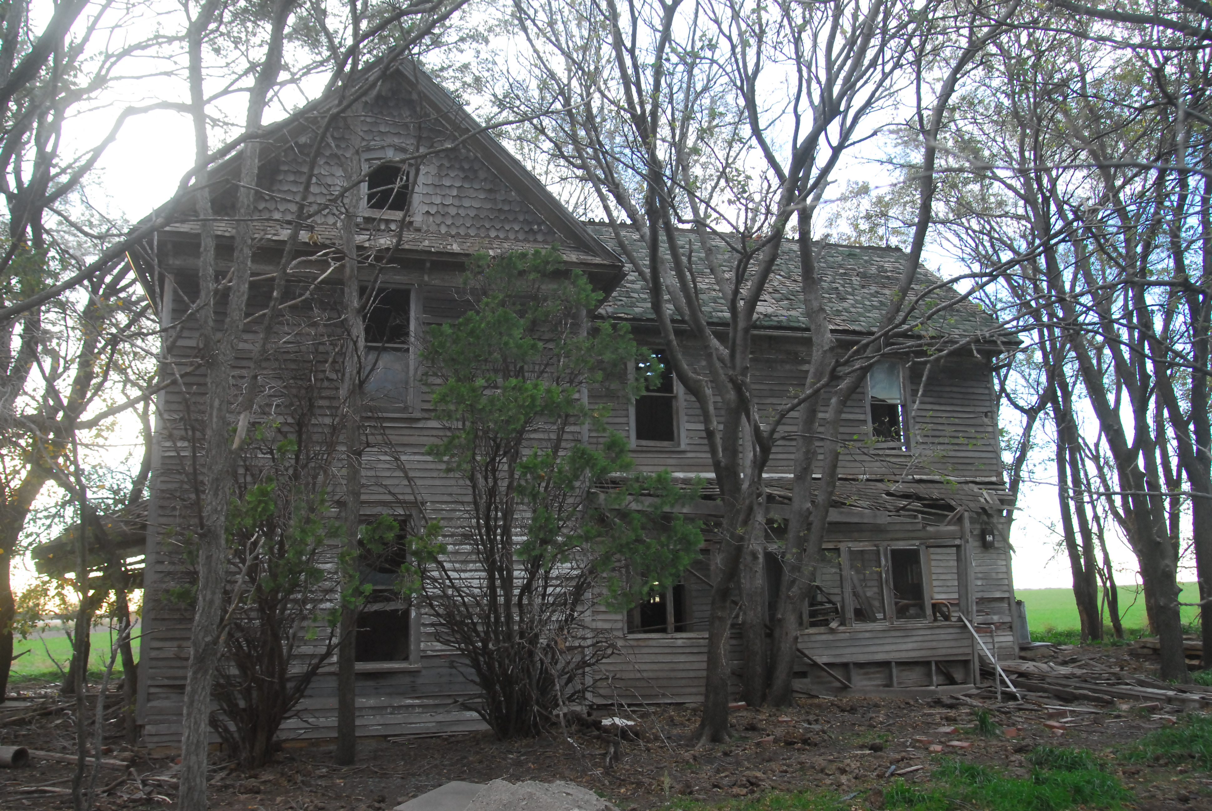
Somebody Lived Here!

Post Office 67418 (Barnard, Kansas)
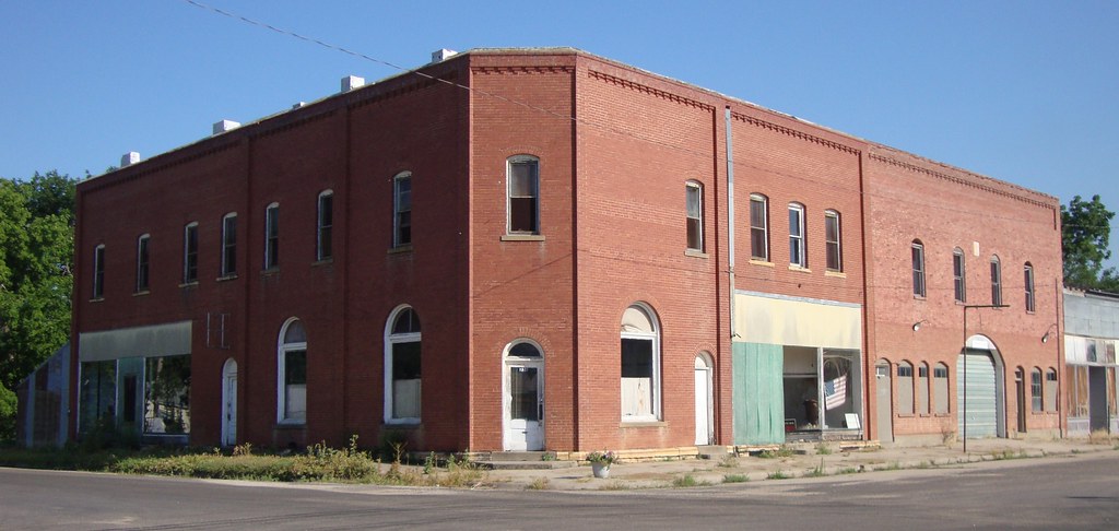
Storefront Building (Barnard, Kansas)
lincoln County
Topographic Map of Barnard, KS, USA
Find elevation by address:

Places in Barnard, KS, USA:
Places near Barnard, KS, USA:
Mills Ave, Barnard, KS, USA
Scott
1890 N 215th Rd
1890 N 215th Rd
Beaver
Logan
Beverly
Main St, Beverly, KS, USA
Lincoln County
Colorado
Solomon
Glasco
Main St, Beverly, KS, USA
Main St, Lincoln, KS, USA
301 N Spear St
Orange
Madison
Grant
Glendale
Union Rd, Sylvan Grove, KS, USA
Recent Searches:
- Elevation map of Greenland, Greenland
- Elevation of Sullivan Hill, New York, New York, 10002, USA
- Elevation of Morehead Road, Withrow Downs, Charlotte, Mecklenburg County, North Carolina, 28262, USA
- Elevation of 2800, Morehead Road, Withrow Downs, Charlotte, Mecklenburg County, North Carolina, 28262, USA
- Elevation of Yangbi Yi Autonomous County, Yunnan, China
- Elevation of Pingpo, Yangbi Yi Autonomous County, Yunnan, China
- Elevation of Mount Malong, Pingpo, Yangbi Yi Autonomous County, Yunnan, China
- Elevation map of Yongping County, Yunnan, China
- Elevation of North 8th Street, Palatka, Putnam County, Florida, 32177, USA
- Elevation of 107, Big Apple Road, East Palatka, Putnam County, Florida, 32131, USA
- Elevation of Jiezi, Chongzhou City, Sichuan, China
- Elevation of Chongzhou City, Sichuan, China
- Elevation of Huaiyuan, Chongzhou City, Sichuan, China
- Elevation of Qingxia, Chengdu, Sichuan, China
- Elevation of Corso Fratelli Cairoli, 35, Macerata MC, Italy
- Elevation of Tallevast Rd, Sarasota, FL, USA
- Elevation of 4th St E, Sonoma, CA, USA
- Elevation of Black Hollow Rd, Pennsdale, PA, USA
- Elevation of Oakland Ave, Williamsport, PA, USA
- Elevation of Pedrógão Grande, Portugal