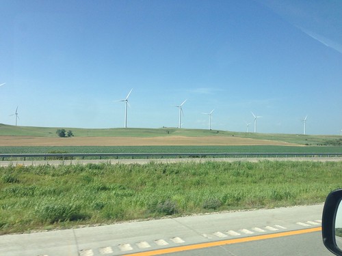
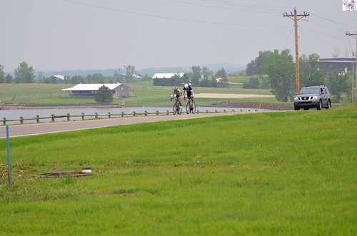
Elevation of Glendale, KS, USA
Location: United States > Kansas > Saline County >
Longitude: -97.893931
Latitude: 38.9082915
Elevation: 429m / 1407feet
Barometric Pressure: 96KPa
Related Photos:
Topographic Map of Glendale, KS, USA
Find elevation by address:

Places in Glendale, KS, USA:
Places near Glendale, KS, USA:
E 3rd St, Brookville, KS, USA
Madison
Colorado
Main St, Beverly, KS, USA
Spring Creek
Pleasant Valley
Main St, Beverly, KS, USA
Beverly
W 3rd St, Brookville, KS, USA
Brookville
204 S 1st St
Main St, Salina, KS, USA
Ohio
W Humbarger Rd, Tescott, KS, USA
E Franklin St, Salina, KS, USA
Carneiro
W Shipton Rd, Salina, KS, USA
Saline County
Mushroom Rock State Park
W Pleasant Hill Rd, Salina, KS, USA
Recent Searches:
- Elevation of Corso Fratelli Cairoli, 35, Macerata MC, Italy
- Elevation of Tallevast Rd, Sarasota, FL, USA
- Elevation of 4th St E, Sonoma, CA, USA
- Elevation of Black Hollow Rd, Pennsdale, PA, USA
- Elevation of Oakland Ave, Williamsport, PA, USA
- Elevation of Pedrógão Grande, Portugal
- Elevation of Klee Dr, Martinsburg, WV, USA
- Elevation of Via Roma, Pieranica CR, Italy
- Elevation of Tavkvetili Mountain, Georgia
- Elevation of Hartfords Bluff Cir, Mt Pleasant, SC, USA
