Elevation of Barker Pond, Maine, USA
Location: United States > Maine > Cumberland County > Sebago >
Longitude: -70.757498
Latitude: 43.8962493
Elevation: 150m / 492feet
Barometric Pressure: 100KPa
Elevation Map:
Satellite Map:
Related Photos:
The View from Pleasant Mountain, Maine

The view from Bald Pate

2018_1110Cold-Windy-Sunset-Pano0001
The View

Fall colors at Holt Pond
storm cloud?

Side view
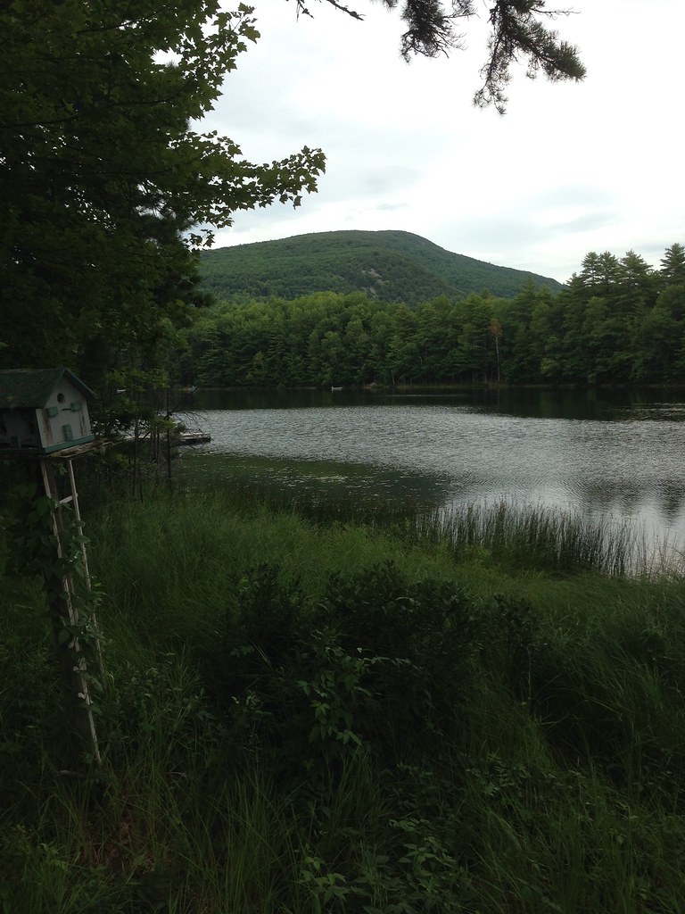
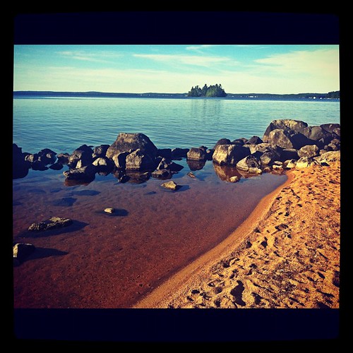
Sebago Lake
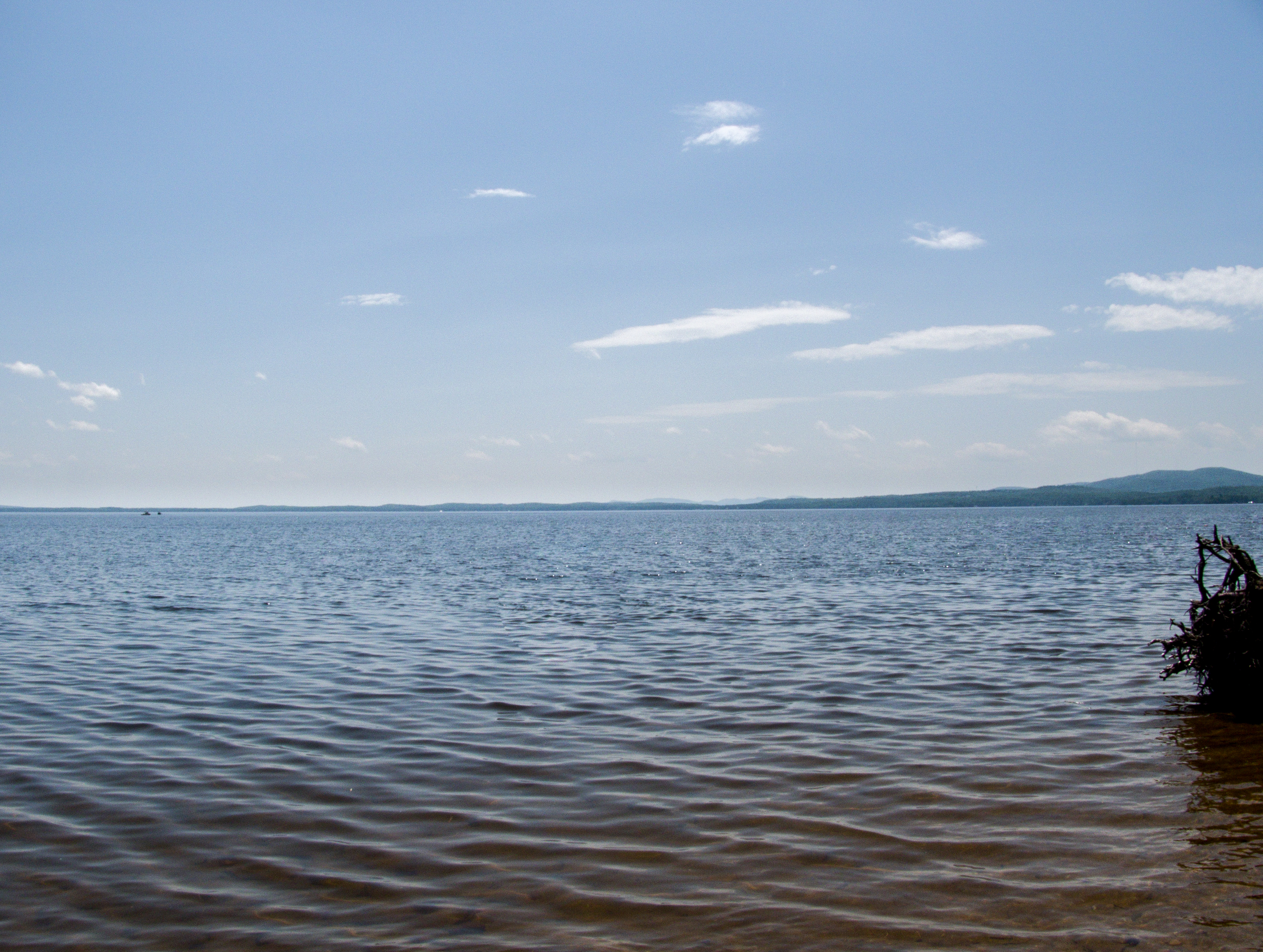
Sebago Lake
Presidential View

Burnt Meadow 2012-04-1810-55-52
View of Mount Washington from Naples

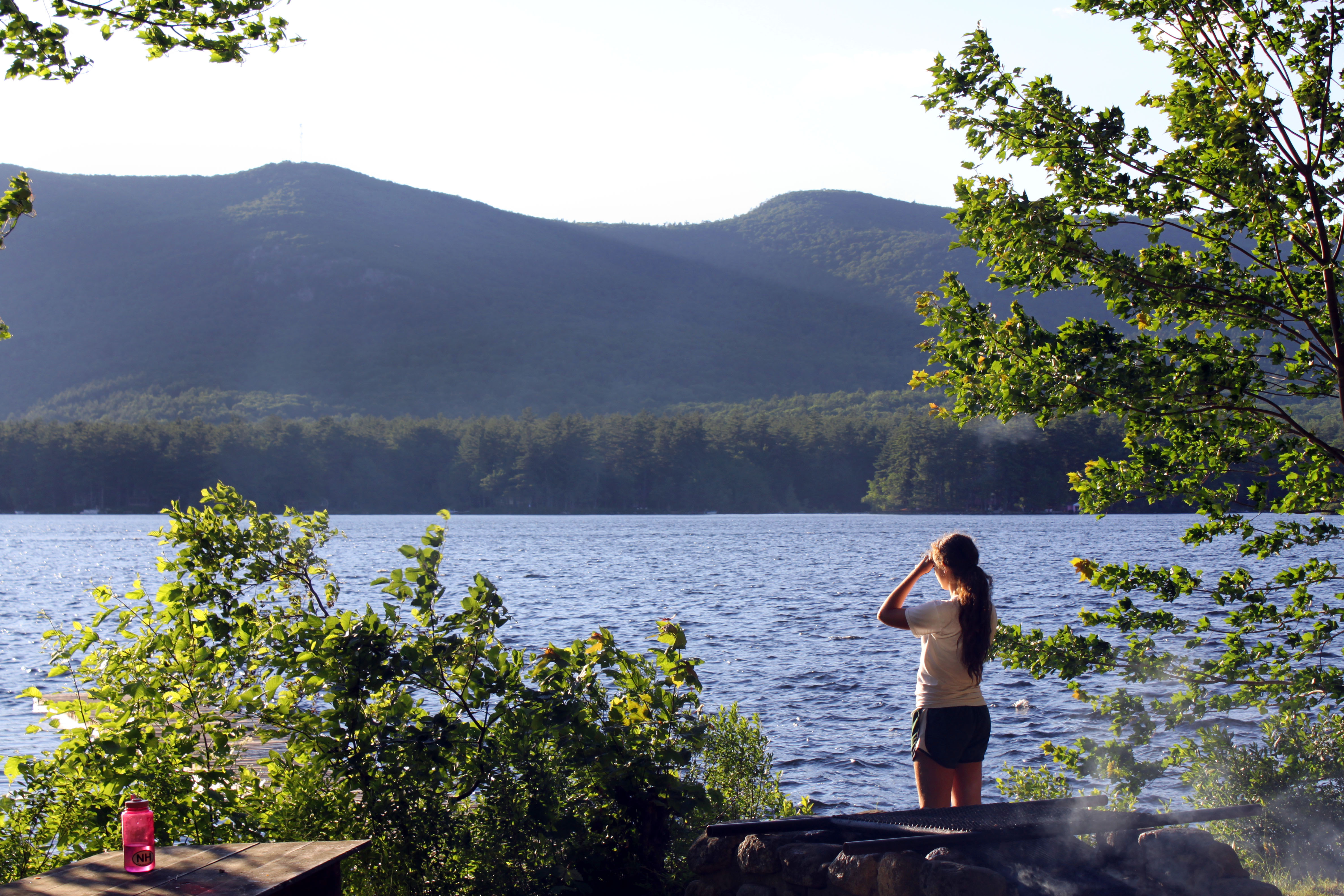
Checking Out the View
View over Long Lake, Naples

Across Long Lake
First View

Rear View Mirror
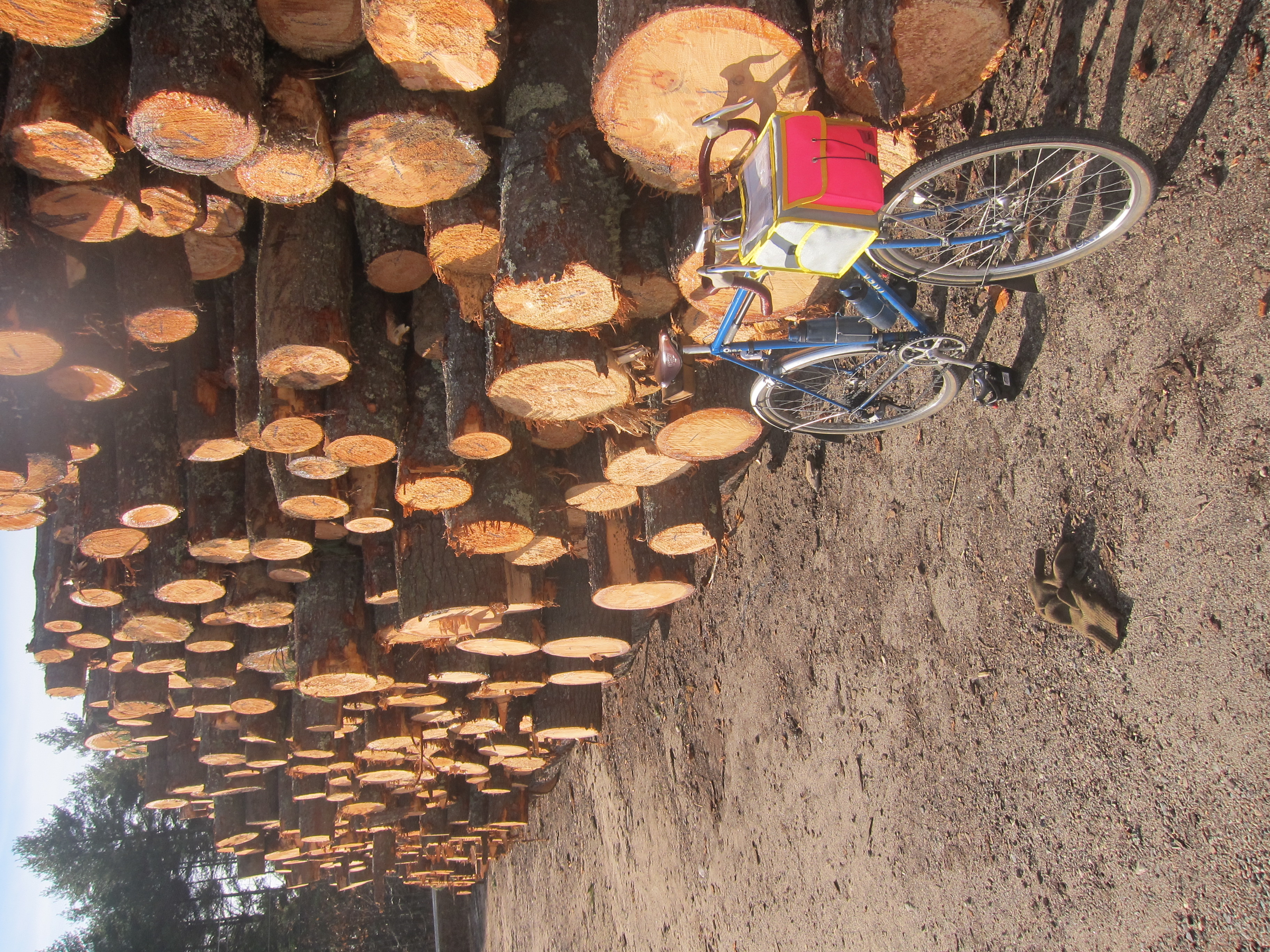
November century

View from my tree-house
the view of moose pond
Before 60 miles home.

DSC_4639-Edit.jpg

The Golden Tree
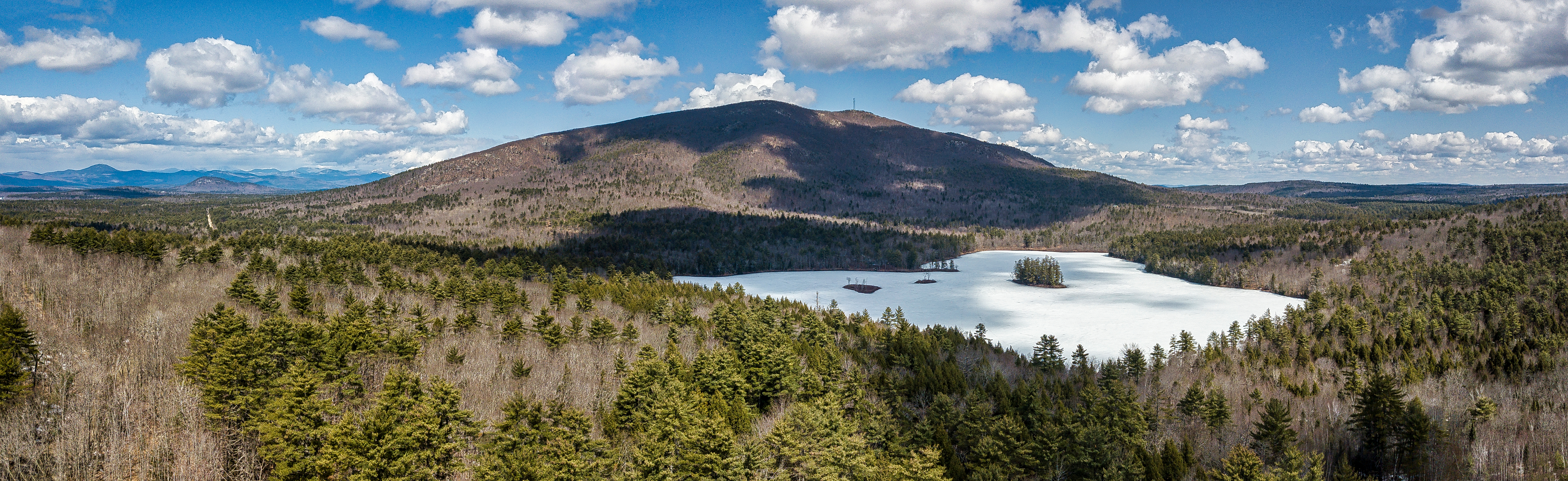
Pleasant Mountain
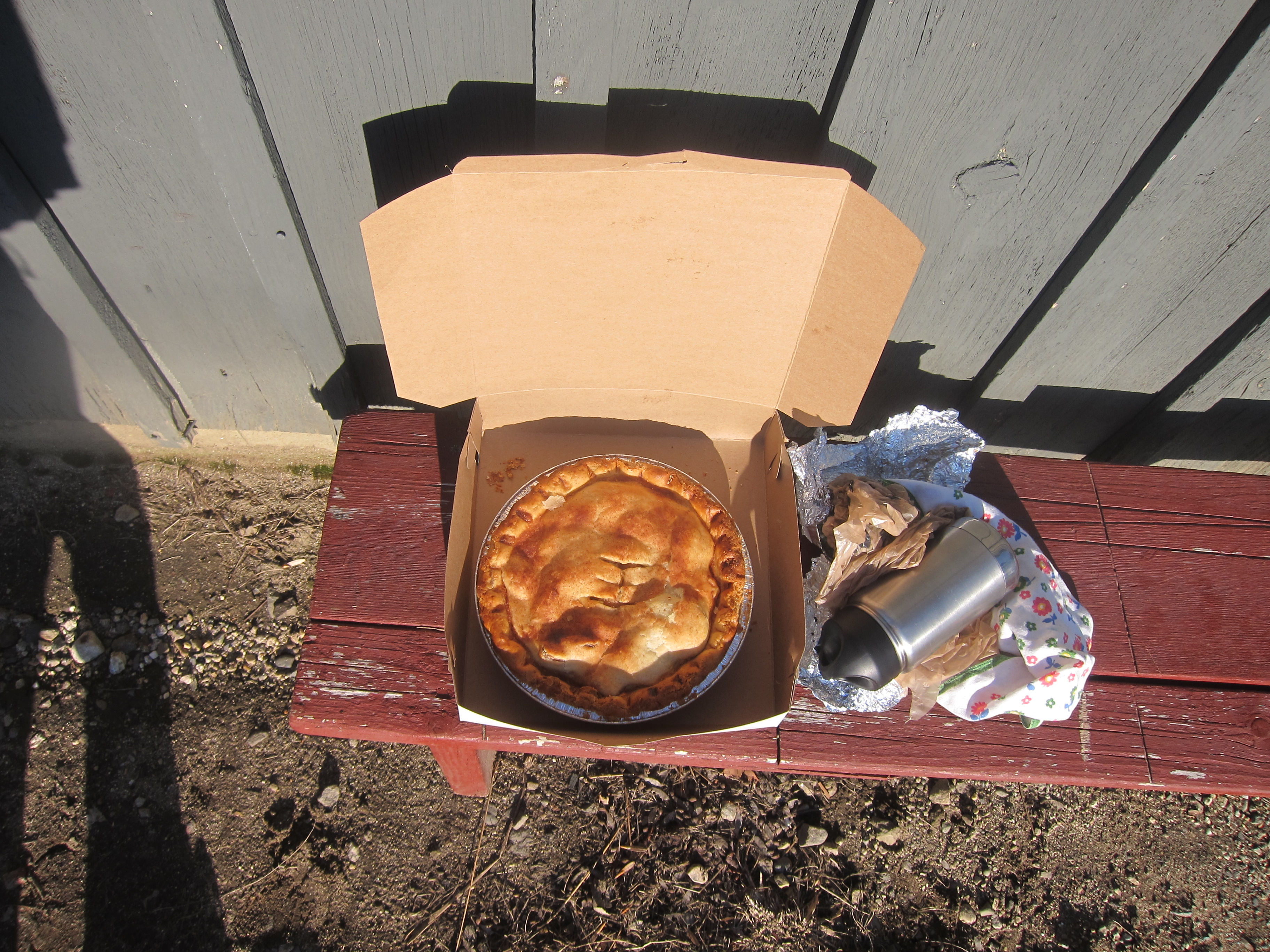
Good morning!

lake sebago

Ingalls Pond

Hiram Maine
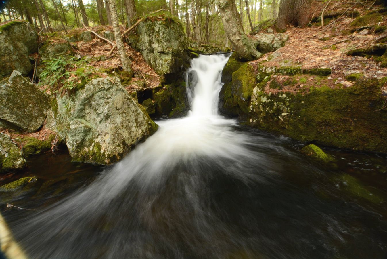
2017_0509Hiram-Brook0025

IMG_2131.jpg

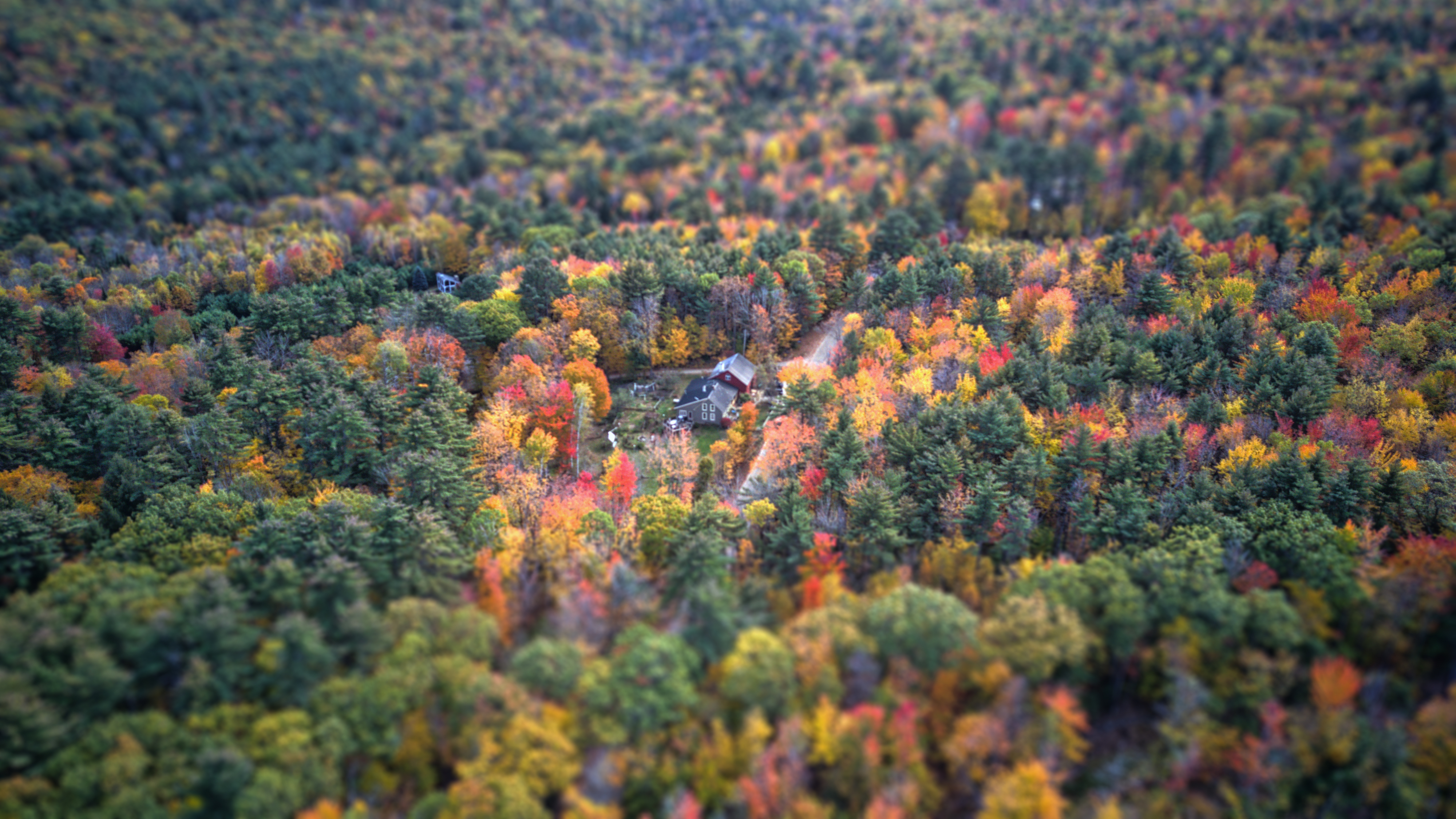
Fall in Hiram Maine
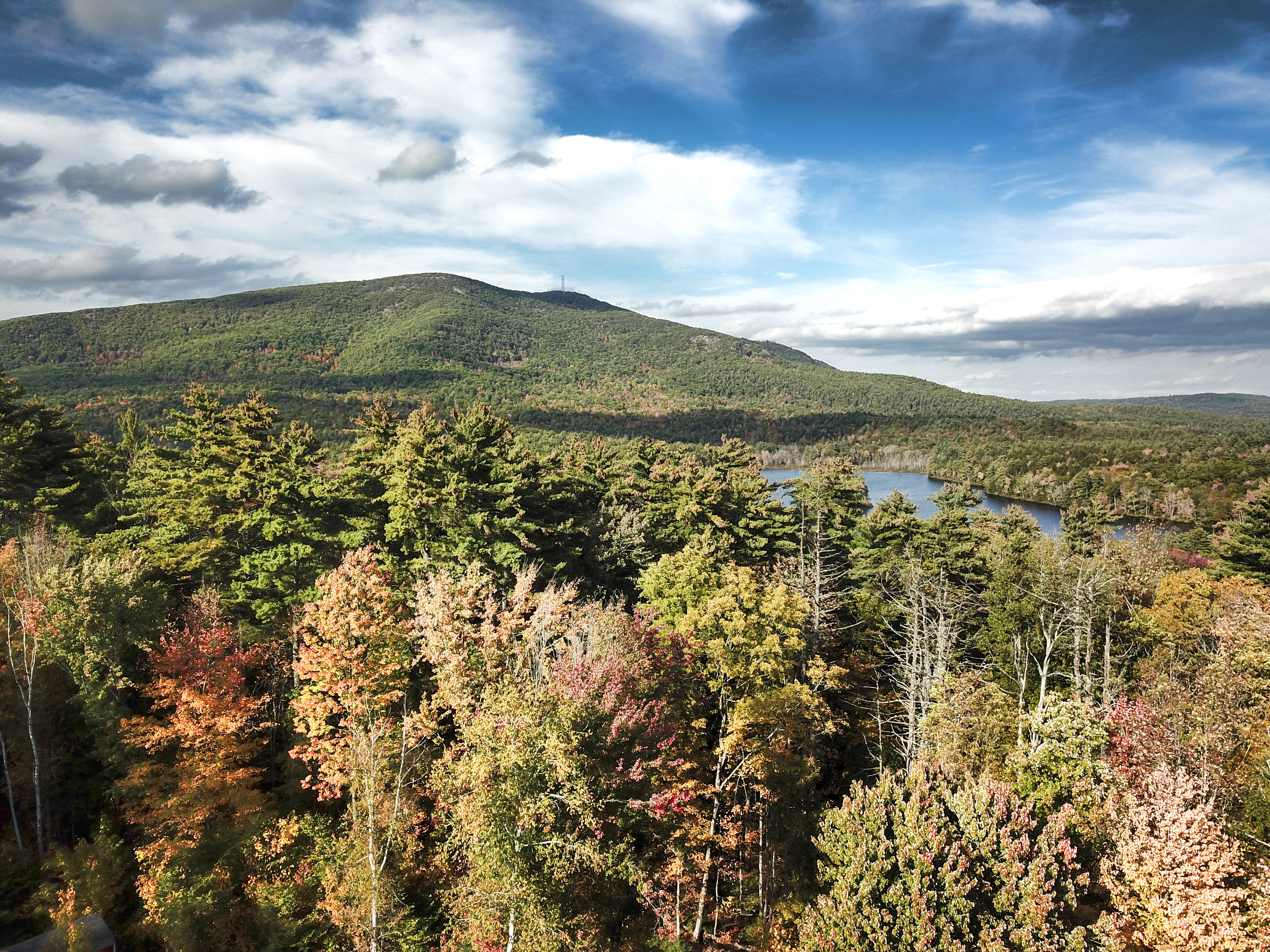
Pleasant Mountain
Tiny House

IMG_2133.jpg
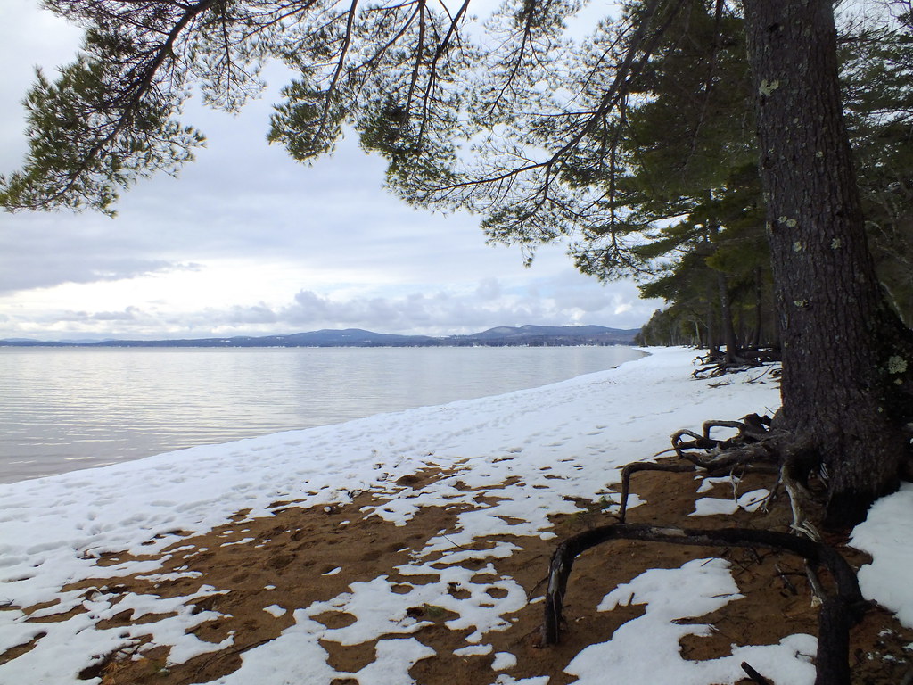
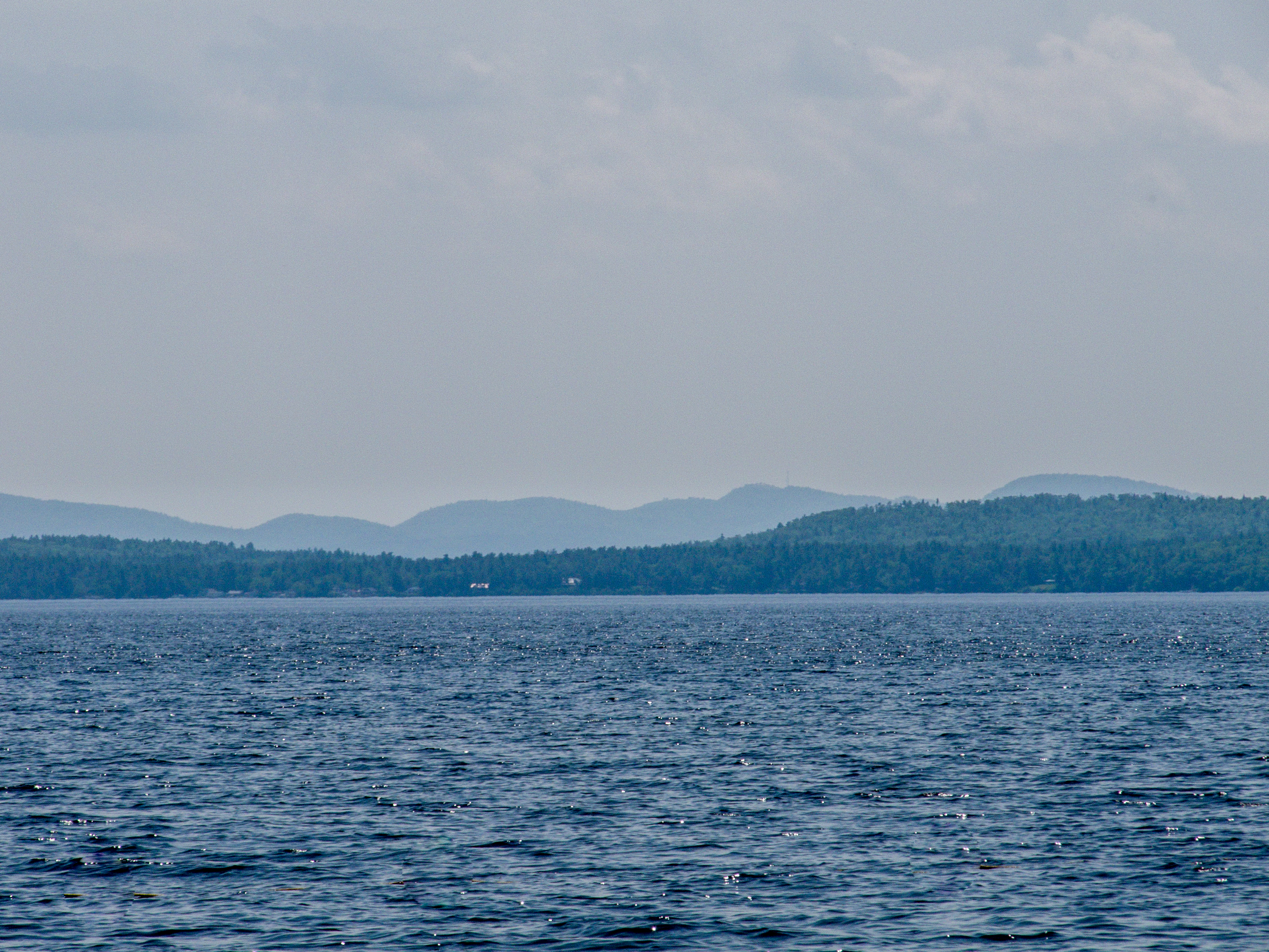
Sebago Lake
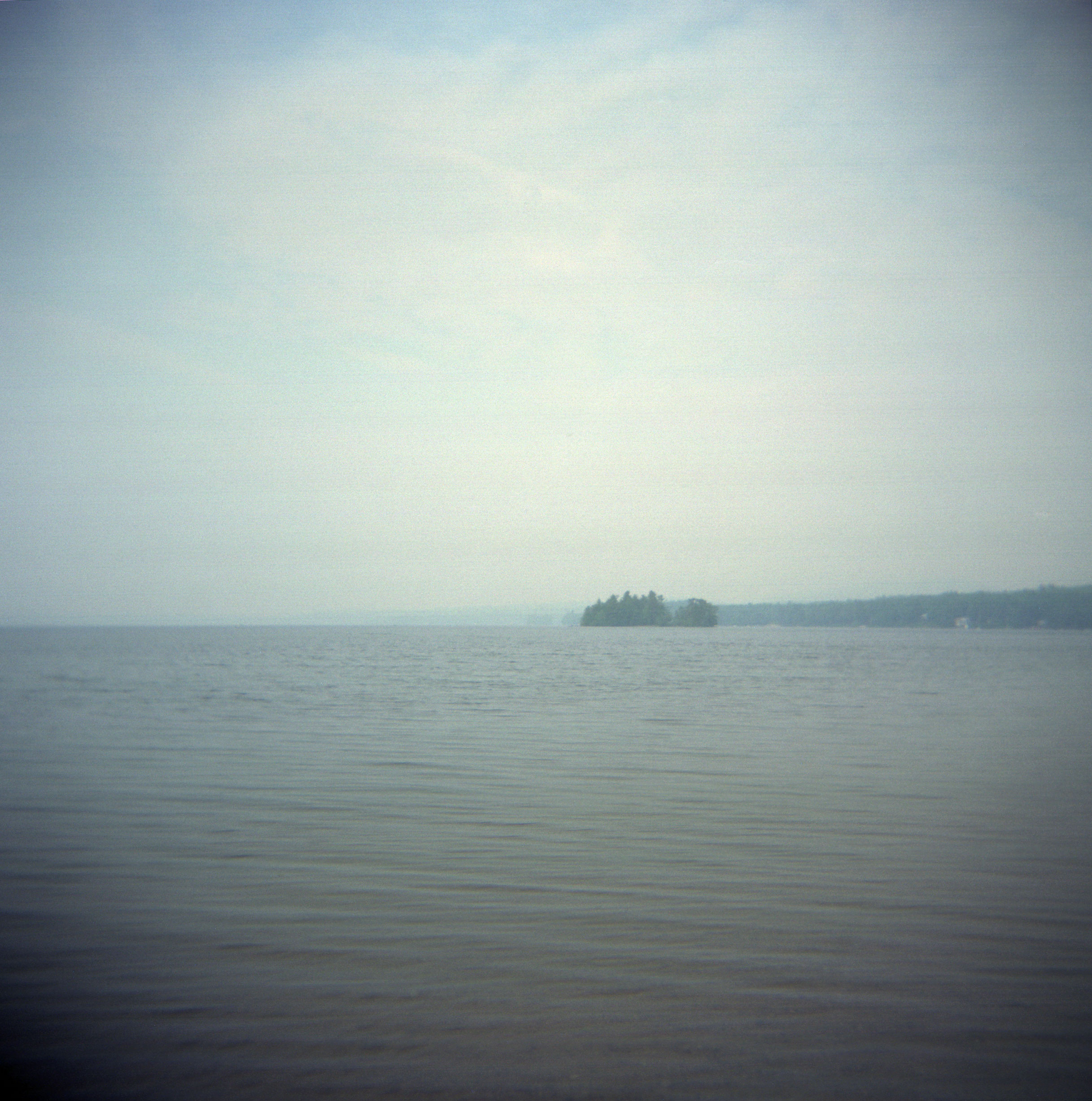
lake sebago
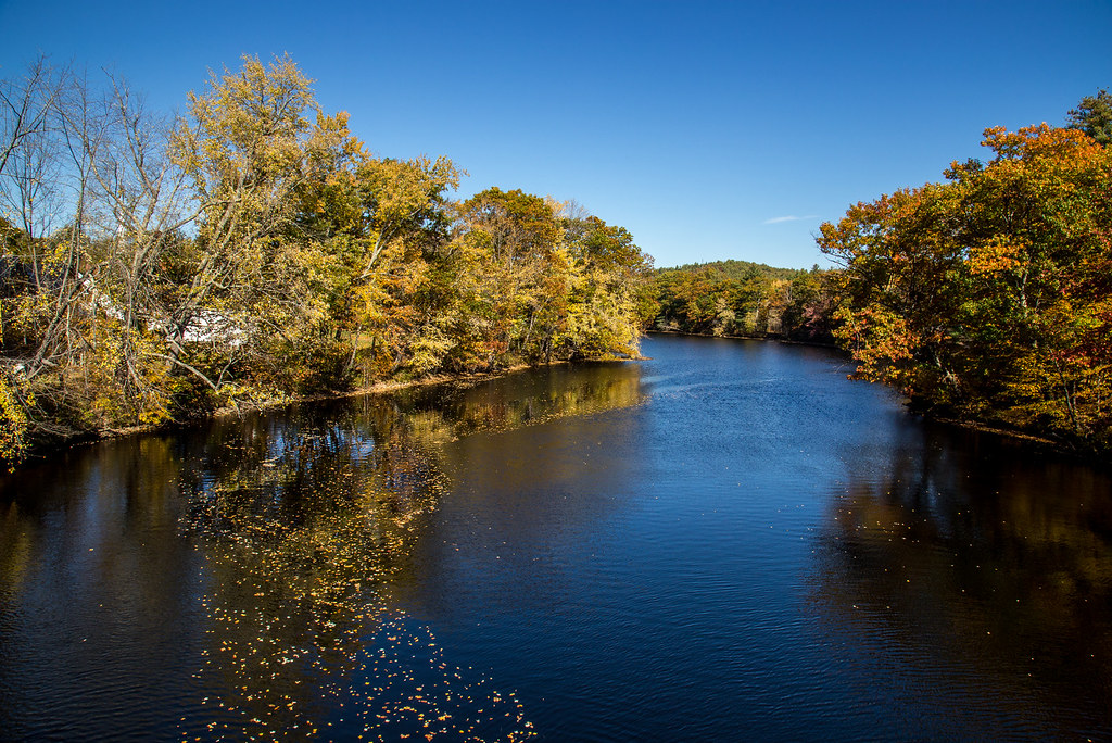
Autumn River
2019_0109Ice-Sleet-Snow-Freezing Rain0008
Topographic Map of Barker Pond, Maine, USA
Find elevation by address:

Places near Barker Pond, Maine, USA:
54 Sebago Rd, Hiram, ME, USA
97 Main St
78 Main St
Bullring Road
8 Main St, Hiram, ME, USA
Pequawket Trail
Douglas Mountain
Moose Pond
23 Gould Farm Rd
Sebago
Hiram
Cornish
96 Ledgewood Ln
Brownfield
Brownfield
Main St, Brownfield, ME, USA
28 Endfield St
Kezar Mountain Road
Porter
Eaton Center Rd, Brownfield, ME, USA
Recent Searches:
- Elevation of Corso Fratelli Cairoli, 35, Macerata MC, Italy
- Elevation of Tallevast Rd, Sarasota, FL, USA
- Elevation of 4th St E, Sonoma, CA, USA
- Elevation of Black Hollow Rd, Pennsdale, PA, USA
- Elevation of Oakland Ave, Williamsport, PA, USA
- Elevation of Pedrógão Grande, Portugal
- Elevation of Klee Dr, Martinsburg, WV, USA
- Elevation of Via Roma, Pieranica CR, Italy
- Elevation of Tavkvetili Mountain, Georgia
- Elevation of Hartfords Bluff Cir, Mt Pleasant, SC, USA