Elevation of Bangor Park Rd, Bangor, CA, USA

Location: United States > California > Butte County > Bangor >

Longitude: -121.42581

Latitude: 39.384215

Elevation: 190m / 623feet

Barometric Pressure: 99KPa

Elevation Map:

elevation map of Bangor Park Rd, Bangor, CA, USA

Satellite Map:

Satellite map of Bangor Park Rd, Bangor, CA, USA

Related Photos:

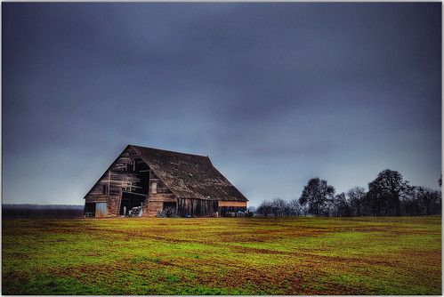
california trees abandoned grass clouds barn countryside farm explore hdr ruraldecay
An asteroid hit my barn
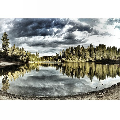
square squareformat iphoneography instagramapp uploaded:by=instagram foursquare:venue=4c5caadd7735c9b6d20d8d72
Chilling with the family and enjoying the view as well as a great weekend.
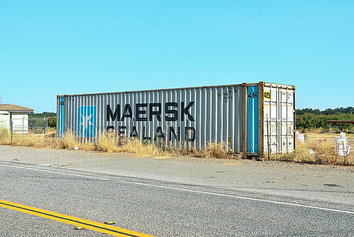
california postprocessed america photoshop typography nikon exposure butte box transport stripe cargo container filter font type sealand americana sutter lettering norcal roadside nikkor capture asphalt northern shipping ribbed processed corrugated doubleyellow postprocessing landlocked yuba maersk buttecounty alienskin conex maersksealand graphiv nx2 yubasutter d7000 capturenx2 eyetwistkevinballuff nikond7000 18200mmf3556gvrii honcut
maersk sealand. honcut, ca. 2012.
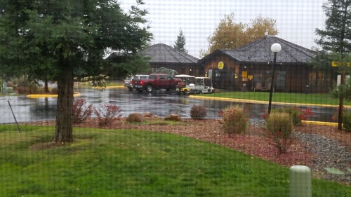
A view out the window
Our view
square squareformat hudson iphoneography instagramapp uploaded:by=instagram
Gone country with Sunny #rotty #countrylife #instagood #instagram
ranch winter northerncalifornia landscape cattle sierranevadafoothills ranchland yubacounty brownsvalley canon7d canon1585mmusmis lightroom4 topazsw brownsvilleca
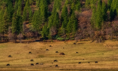
Winter Grazing
square squareformat iphoneography instagramapp uploaded:by=instagram
wishing all a happy christmas from the Injerd ranch (the ponies & sheep just ran out of frame!) #holidays #family
uploaded:by=flickrmobile flickriosapp:filter=nofilter
Collins Lake
county winter landscape photography butte
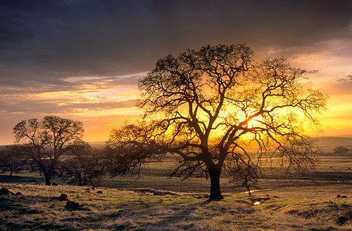
Sunset in the Sacramento Valley Foothills
uploaded:by=flickrmobile flickriosapp:filter=nofilter
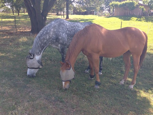
Trapper and Remington grazing
california landscape photography valley sutter sacramento northern buttes
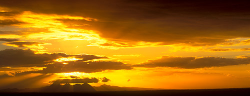
Sunset Over the Sutter Buttes
Daley Ranch
california sun water field silhouette clouds sunrise commute norcal ricefields hwy70 buttecounty sierrafoothills
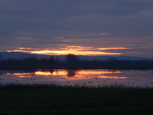
Ricefield sunrise
uploaded:by=flickrmobile flickriosapp:filter=nofilter
Cody and Trapper
point gundog dogtraining gwp germanwirehairedpointer quailhunt dogonpoint bradhiggins
I am NOT moving my feet!!
uploaded:by=flickrmobile flickriosapp:filter=nofilter
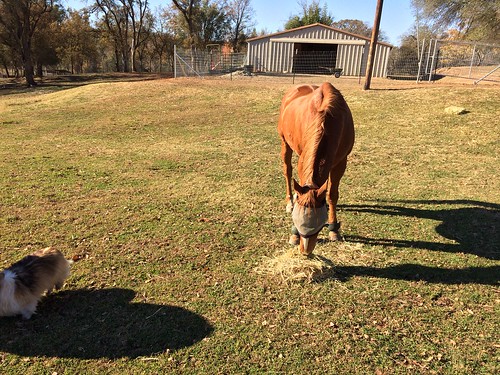
Trapper feeding on some hay
uploaded:by=flickrmobile flickriosapp:filter=nofilter
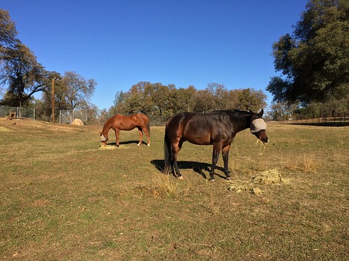
Trapper, Remington, and Cody grazing
uploaded:by=flickrmobile flickriosapp:filter=nofilter
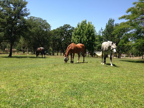
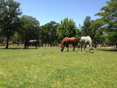
Trapper, Remington, and Cody grazing
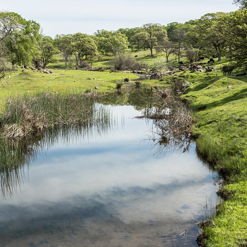
california trees green nature grass northerncalifornia rural forest square photography countryside spring pond stream unitedstates dailypic peaceful calm serene norcal dailyphoto photooftheday oroville buttecounty project365 photoadaychallenge buuckphotos buuckphotography
Day 629 [3/10/15]: Surrounded by Green
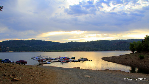
california camping sunrise boats 366 collinslake brownsvalley
Day 199 - 57/366 - Time for Reflection
Sunset over the Sutter Buttes
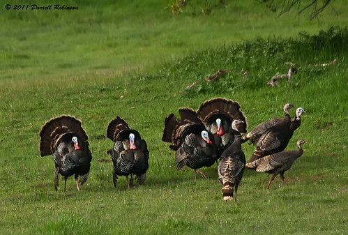
california bird canon turkey canoneosdigitalrebelxt wildturkey yubacounty canonef70300mmf456isusmlens
Wild Turkeys
california usa geotagged unitedstates oroville thermalito geo:lat=3937024033 geo:lon=12161022700
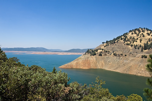
California_Berry_Creek_Oroville_Lake20080812_mmg1025.jpg
uploaded:by=flickrmobile flickriosapp:filter=nofilter
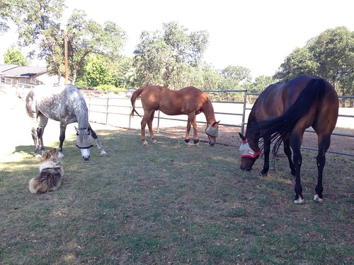
Cody, Remington, and Trapper grazing and Libby sitting
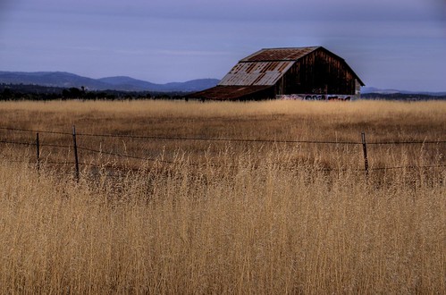
california ranch brown foothills grass barn fence landscape wire rust farm rusty hills fencing barbwire barbed tallgrass oroville 200706
Rusty Barn