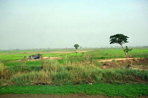
Elevation of Bang Rakam District, Phitsanulok, Thailand
Location: Thailand > Phitsanulok >
Longitude: 100.035966
Latitude: 16.7145447
Elevation: 48m / 157feet
Barometric Pressure: 101KPa
Related Photos:
Topographic Map of Bang Rakam District, Phitsanulok, Thailand
Find elevation by address:

Places in Bang Rakam District, Phitsanulok, Thailand:
Places near Bang Rakam District, Phitsanulok, Thailand:
Bang Rakam
Bang Rakam District Office
ศูนย์สื่อสารกรมการปกครองเขต 2 จังหวัดพิษณุโลก
ที่ว่าการอำเภอวชิรบารมี
Wachirabarami District
Ban Na
District Office Of Mueang Phitsanulok
Nai Mueang
ศาลากลางจังหวัดพิษณุโลก
Mueang Phitsanulok District
Sam Ngam District Office
Sam Ngam
Sam Ngam District
Bang Krathum
Bang Krathum District Office
Bang Krathum District
Wang Thong
Wang Thong District Office
Wang Thong District
Nai Mueang
Recent Searches:
- Elevation of Corso Fratelli Cairoli, 35, Macerata MC, Italy
- Elevation of Tallevast Rd, Sarasota, FL, USA
- Elevation of 4th St E, Sonoma, CA, USA
- Elevation of Black Hollow Rd, Pennsdale, PA, USA
- Elevation of Oakland Ave, Williamsport, PA, USA
- Elevation of Pedrógão Grande, Portugal
- Elevation of Klee Dr, Martinsburg, WV, USA
- Elevation of Via Roma, Pieranica CR, Italy
- Elevation of Tavkvetili Mountain, Georgia
- Elevation of Hartfords Bluff Cir, Mt Pleasant, SC, USA


