Elevation of Wang Thong District, Phitsanulok, Thailand
Location: Thailand > Phitsanulok >
Longitude: 100.429321
Latitude: 16.825168
Elevation: 51m / 167feet
Barometric Pressure: 101KPa
Elevation Map:
Satellite Map:
Related Photos:

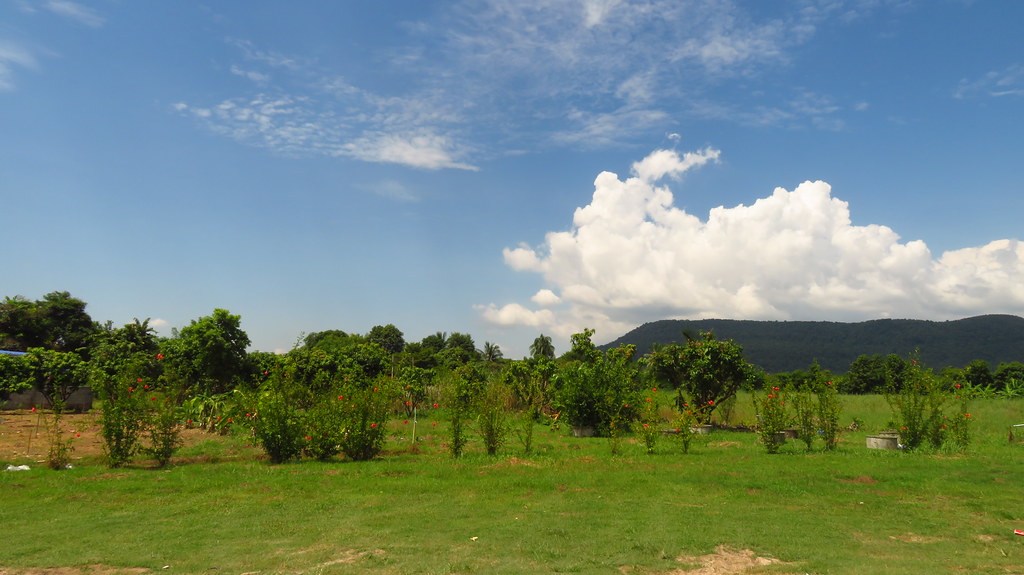
Something for the garden

The Road

The view from a Chinese Buddhist temple near Phitsanulok, Thailand

ท้องฟ้ากลางวัน

ท้องฟ้ากลางวัน
ท้องฟ้ากลางวัน

Fine line lotus tattoo incorporated with line work - Baan Khagee Tattoo Chiang Mai

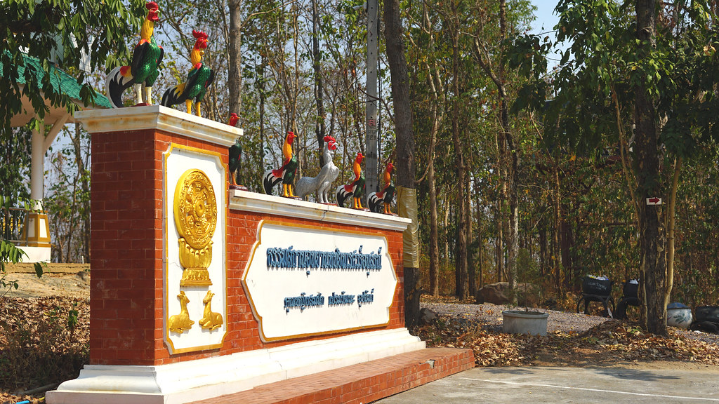
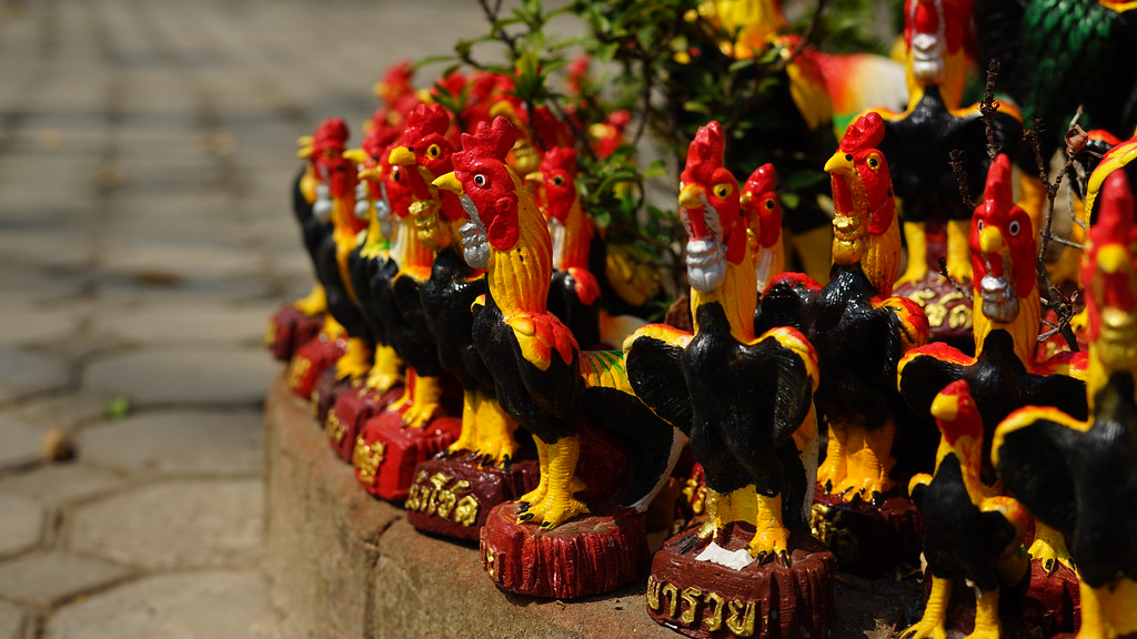
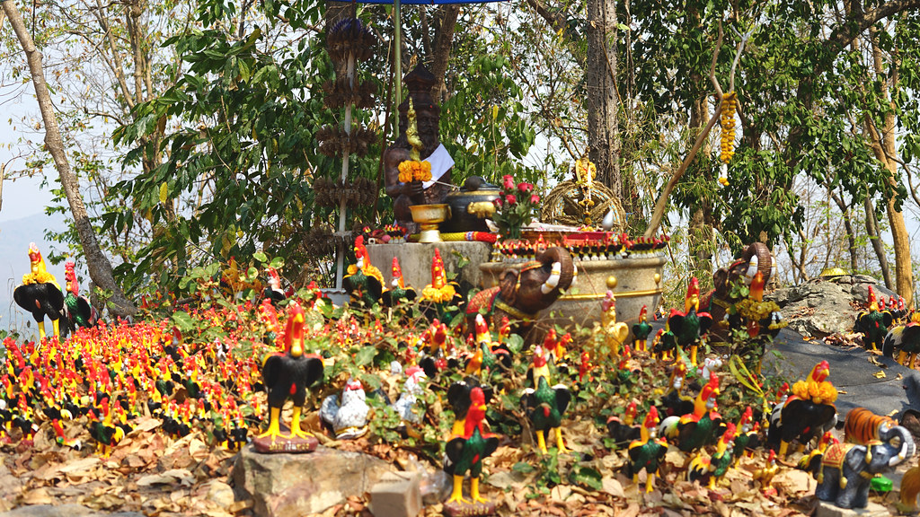
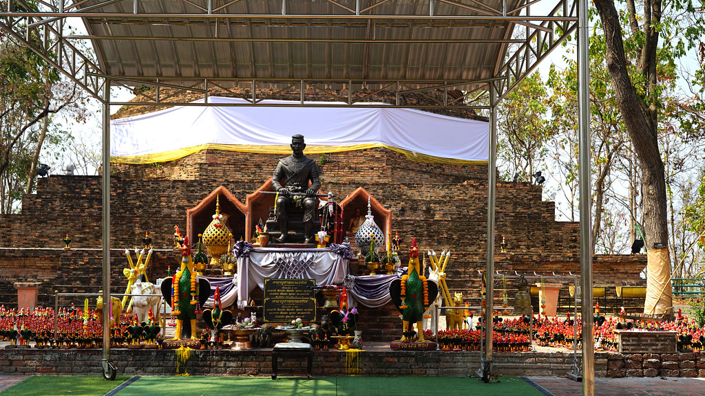
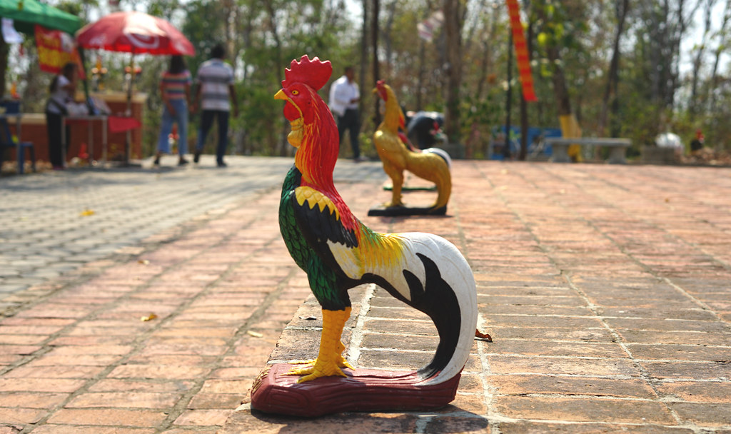
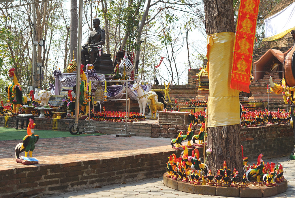
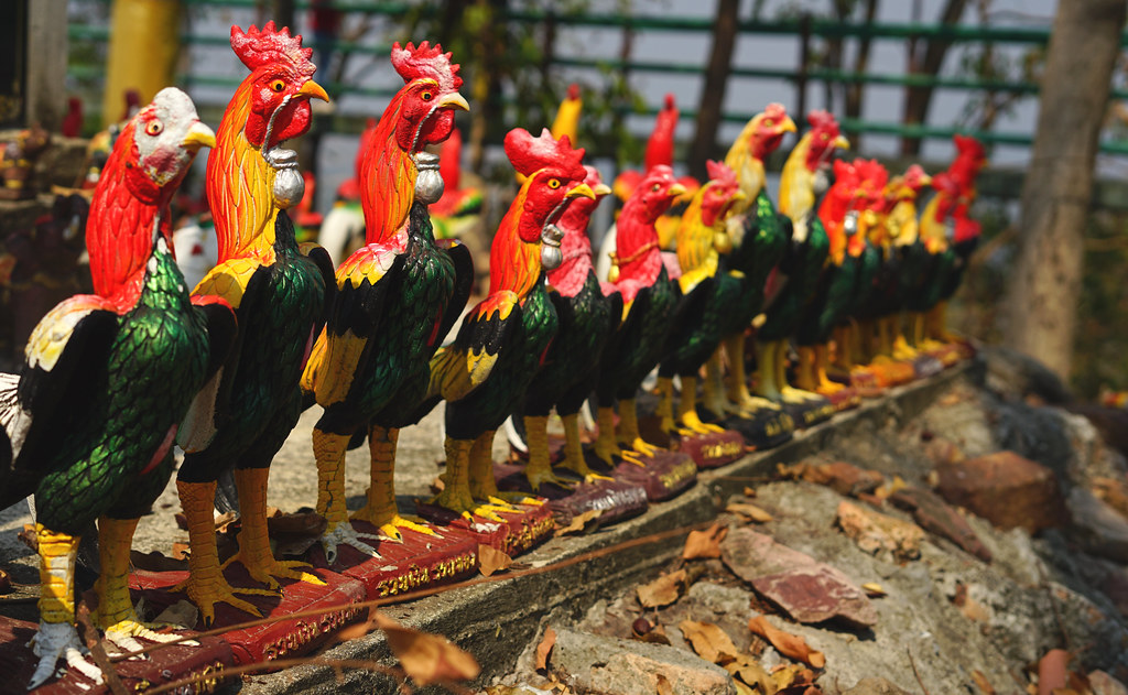
ที่เขาสมอแครง
ที่เขาสมอแครง

ที่เขาสมอแครง
ที่เขาสมอแครง

ที่เขาสมอแครง

ที่เขาสมอแครง

ที่เขาสมอแครง

ที่เขาสมอแครง

ที่เขาสมอแครง
ที่เขาสมอแครง
ที่เขาสมอแครง
ที่เขาสมอแครง
ที่เขาสมอแครง

ที่เขาสมอแครง
ที่เขาสมอแครง

ที่เขาสมอแครง

ที่เขาสมอแครง

ที่เขาสมอแครง

ที่เขาสมอแครง

ที่เขาสมอแครง
Topographic Map of Wang Thong District, Phitsanulok, Thailand
Find elevation by address:

Places in Wang Thong District, Phitsanulok, Thailand:
Places near Wang Thong District, Phitsanulok, Thailand:
Wang Thong District Office
Wang Thong
Nai Mueang
Mueang Phitsanulok District
ศาลากลางจังหวัดพิษณุโลก
District Office Of Mueang Phitsanulok
ศูนย์สื่อสารกรมการปกครองเขต 2 จังหวัดพิษณุโลก
Bang Krathum District
Bang Krathum
Bang Krathum District Office
Sak Lek District Public Health Office
Bang Rakam District Office
Sak Lek District
Bang Rakam
Sak Lek
Sam Ngam District Office
Mueang Phichit District
Nai Mueang
ที่ว่าการอำเภอเมืองพิจิตร
Sam Ngam
Recent Searches:
- Elevation of Corso Fratelli Cairoli, 35, Macerata MC, Italy
- Elevation of Tallevast Rd, Sarasota, FL, USA
- Elevation of 4th St E, Sonoma, CA, USA
- Elevation of Black Hollow Rd, Pennsdale, PA, USA
- Elevation of Oakland Ave, Williamsport, PA, USA
- Elevation of Pedrógão Grande, Portugal
- Elevation of Klee Dr, Martinsburg, WV, USA
- Elevation of Via Roma, Pieranica CR, Italy
- Elevation of Tavkvetili Mountain, Georgia
- Elevation of Hartfords Bluff Cir, Mt Pleasant, SC, USA