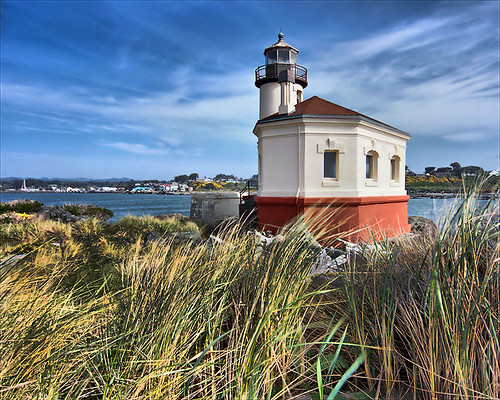
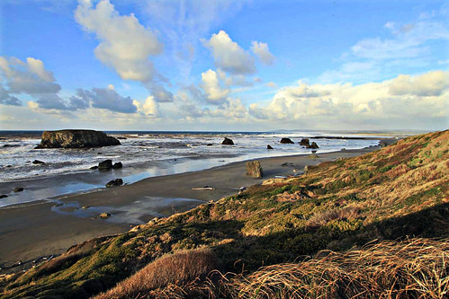
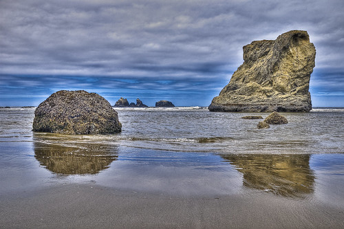
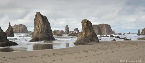
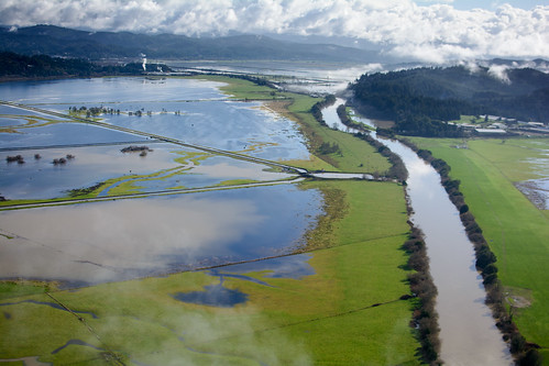
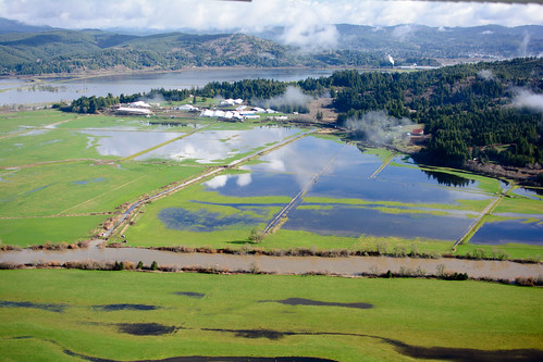
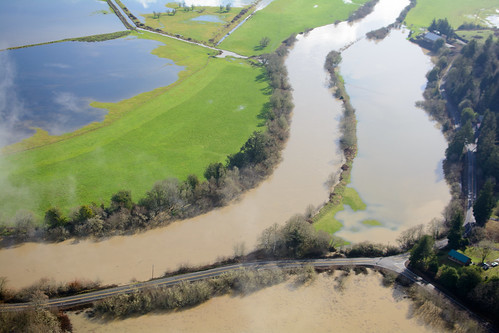
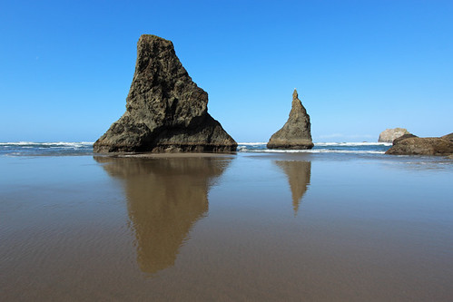
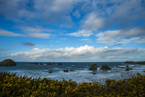
Elevation of Bandon Ave SW, Bandon, OR, USA
Location: United States > Oregon > Coos County > Bandon >
Longitude: -124.41694
Latitude: 43.116777
Elevation: 22m / 72feet
Barometric Pressure: 101KPa
Related Photos:
Topographic Map of Bandon Ave SW, Bandon, OR, USA
Find elevation by address:

Places near Bandon Ave SW, Bandon, OR, USA:
335 Edison Ave Sw
685 10th St Sw
777 12th St Sw
12th Street Southwest
Bandon
945 Ocean Dr Sw
887 12th Ct Sw
1264 Indiana Ave Se
875 1st St Se
1413 Alder Ct
947 Beach Loop Rd
1015 Beach Loop Rd
935 2nd St Se
1488 Fir Ct
1257 Beach Loop Rd
1110 11th St Sw
305 Klamath Ave Ne
Portland Ave SW, Bandon, OR, USA
Beach Loop Rd, Bandon, OR, USA
Natalie Way
Recent Searches:
- Elevation of Corso Fratelli Cairoli, 35, Macerata MC, Italy
- Elevation of Tallevast Rd, Sarasota, FL, USA
- Elevation of 4th St E, Sonoma, CA, USA
- Elevation of Black Hollow Rd, Pennsdale, PA, USA
- Elevation of Oakland Ave, Williamsport, PA, USA
- Elevation of Pedrógão Grande, Portugal
- Elevation of Klee Dr, Martinsburg, WV, USA
- Elevation of Via Roma, Pieranica CR, Italy
- Elevation of Tavkvetili Mountain, Georgia
- Elevation of Hartfords Bluff Cir, Mt Pleasant, SC, USA
