Elevation of Ballinger Ave, San Diego, CA, USA
Location: United States > California > San Diego County > San Diego > San Carlos >
Longitude: -117.01630
Latitude: 32.8118667
Elevation: 234m / 768feet
Barometric Pressure: 99KPa
Elevation Map:
Satellite Map:
Related Photos:

Where there is Matter, there is Geometry.
Gateway to Mission Valley

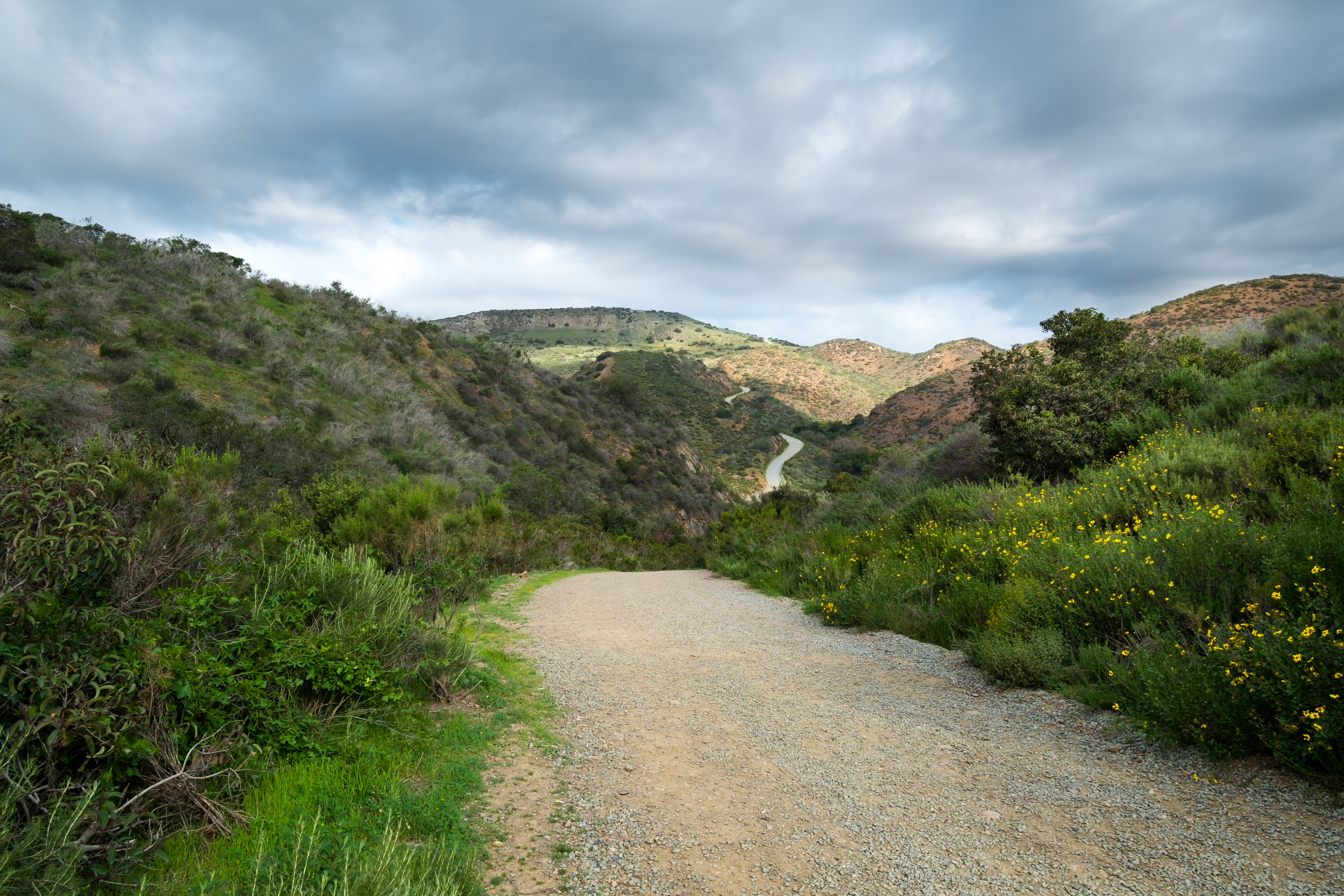
Trail or Traffic

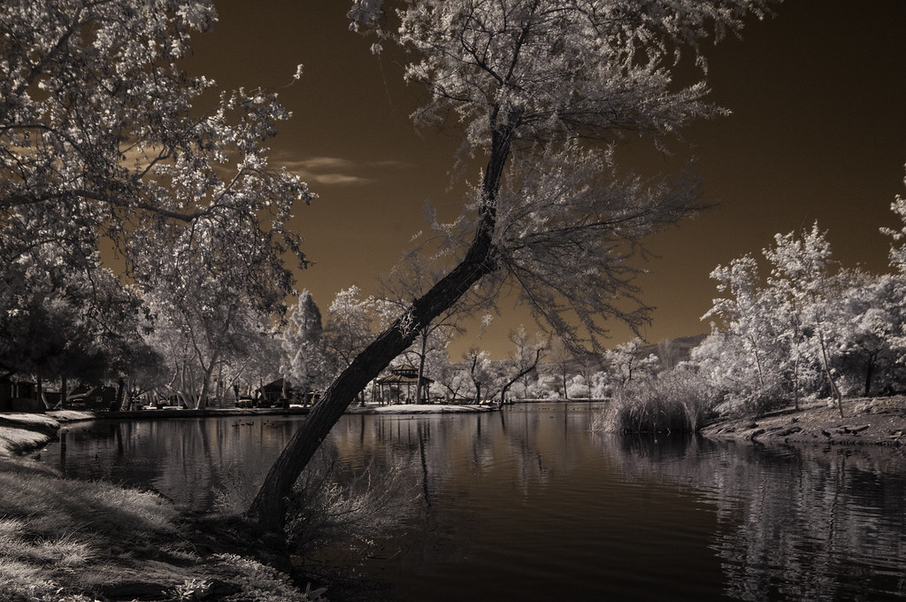
Santee Lakes on the Winter Solstice With Sun Flare - Infrared

Boulevard of Dreams (warning this photograph maybe hazardous to your health)!

Mega Cloud
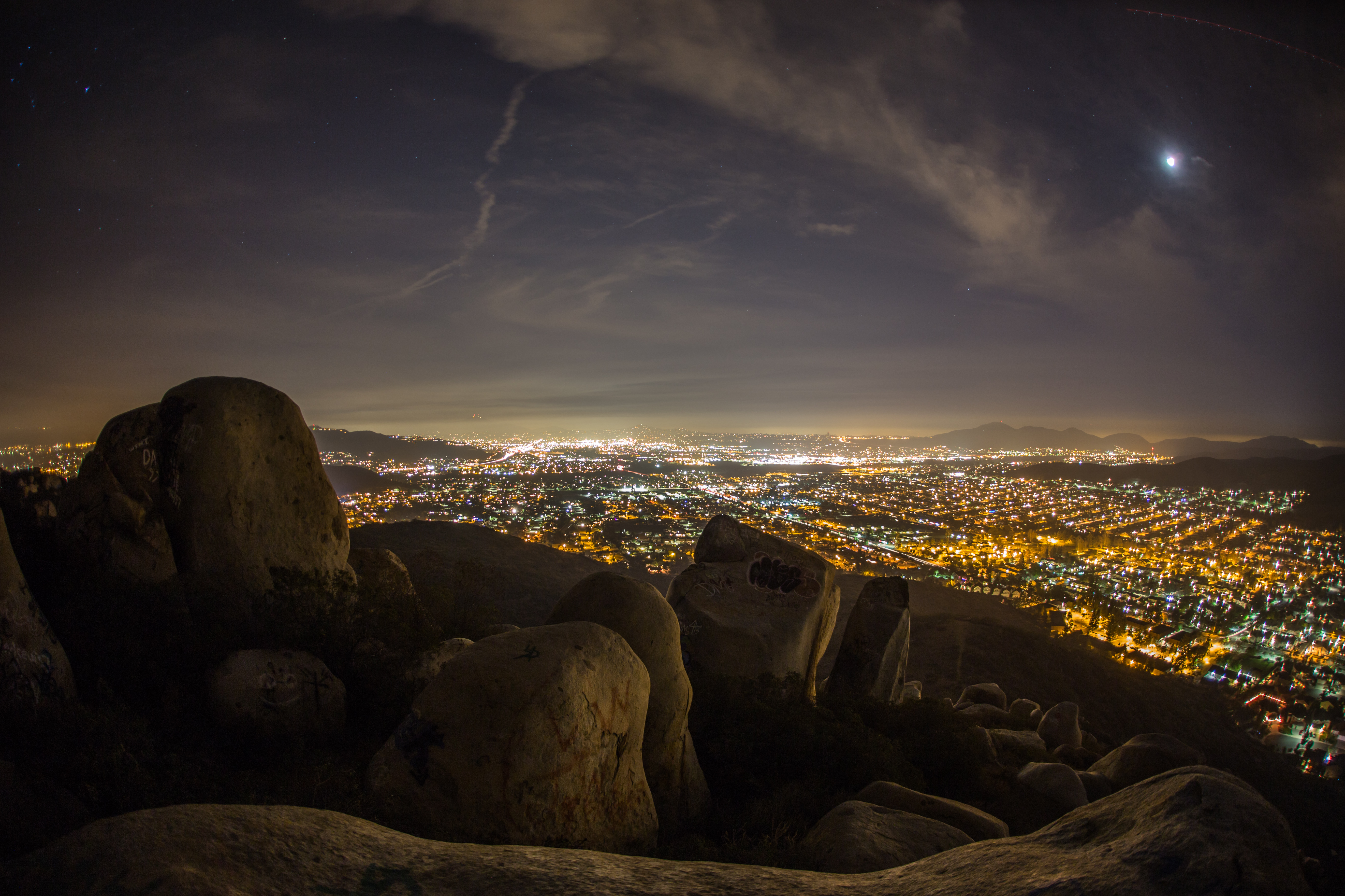
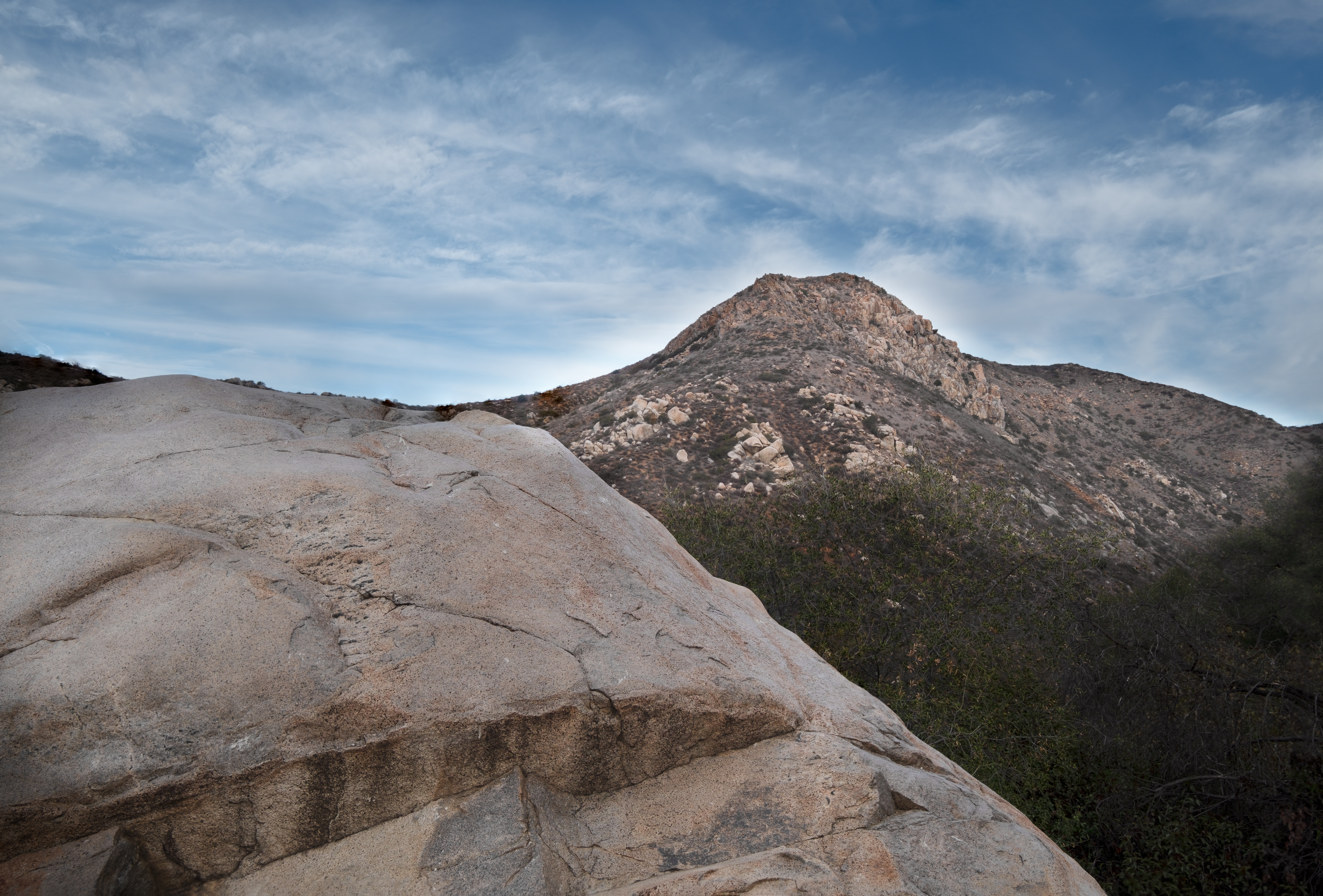
Rocks atop a mountain at night.
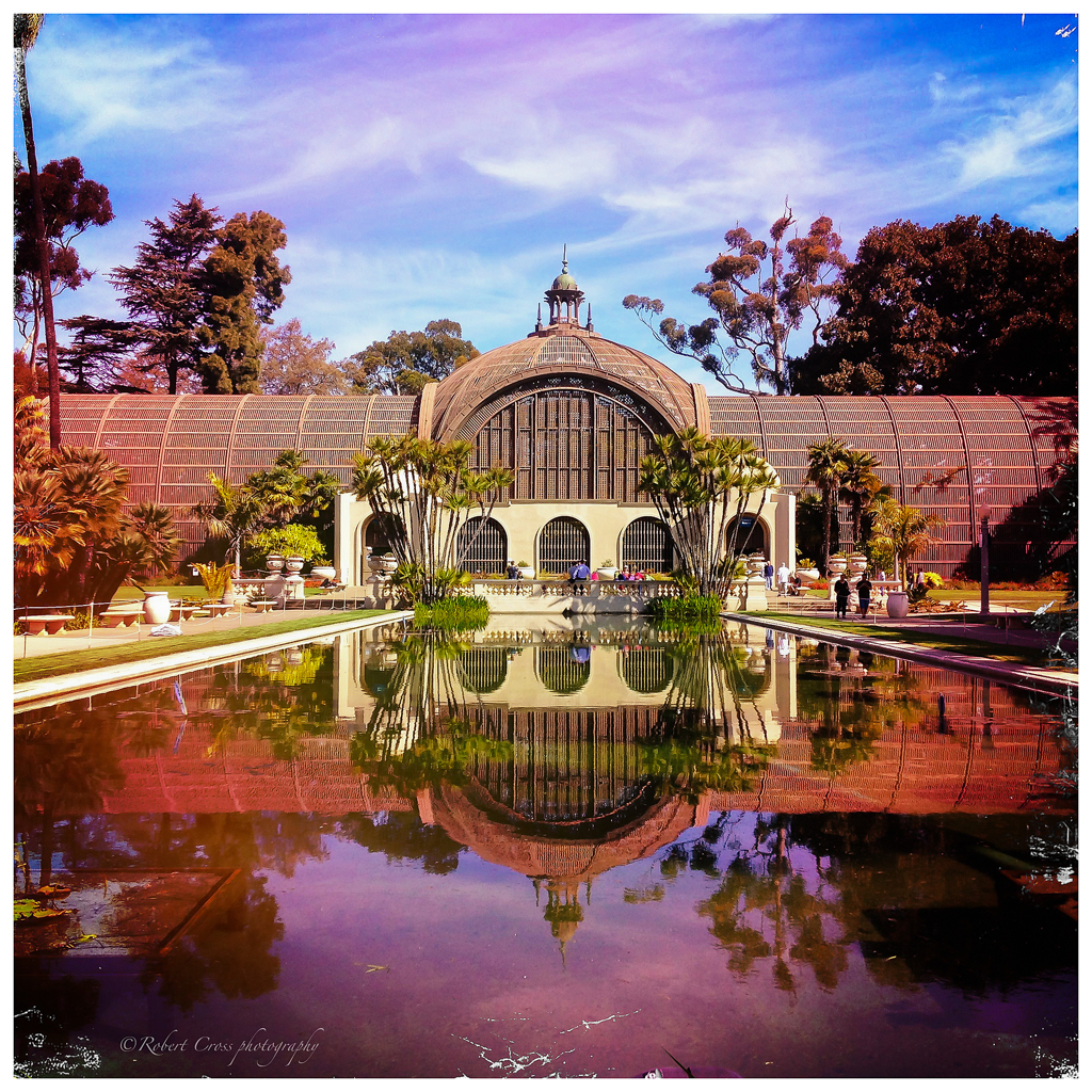
Balboa Park Botanical Building Hipstamatic Reflection
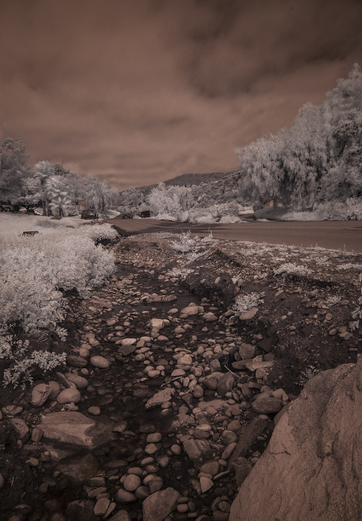
Oak Creek Running Across Oak Creek Drive IR

2014 - San Diego Zoo - Meerly a Meerkat Pose
Coronado Bay Bridge Shines Brightly As An Iconic San Diego Landmark

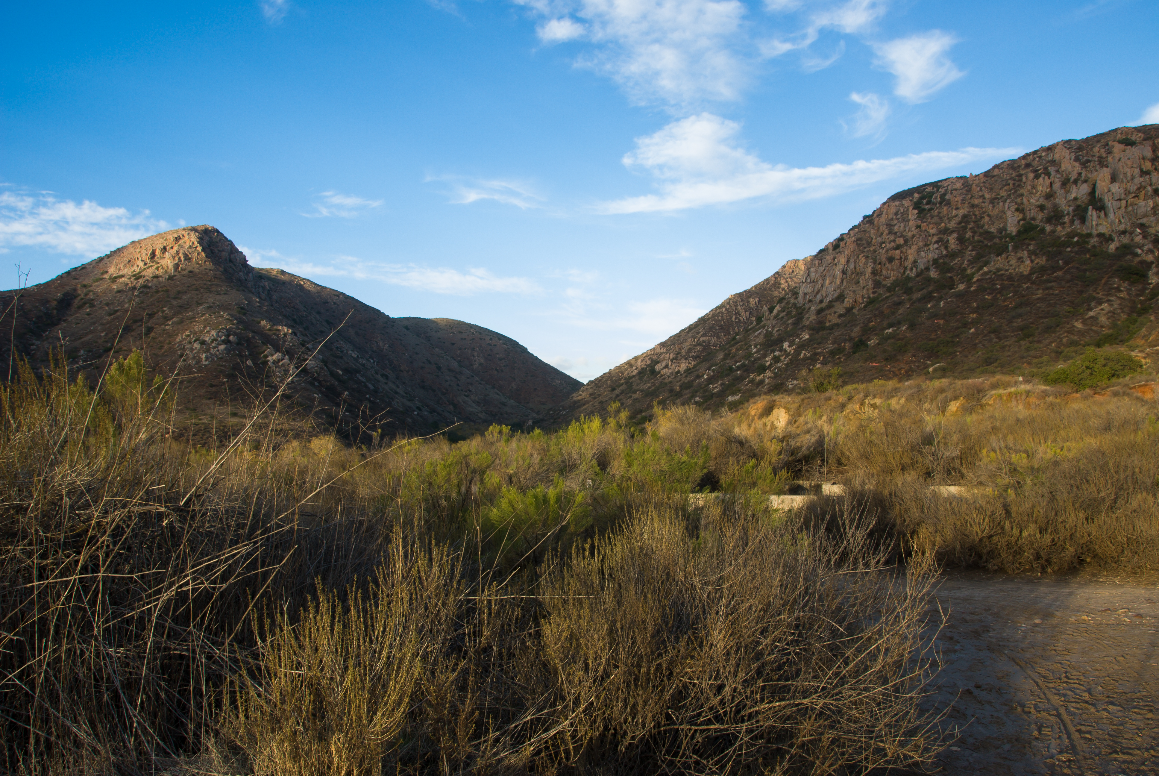
Another view from the top of the mountain.
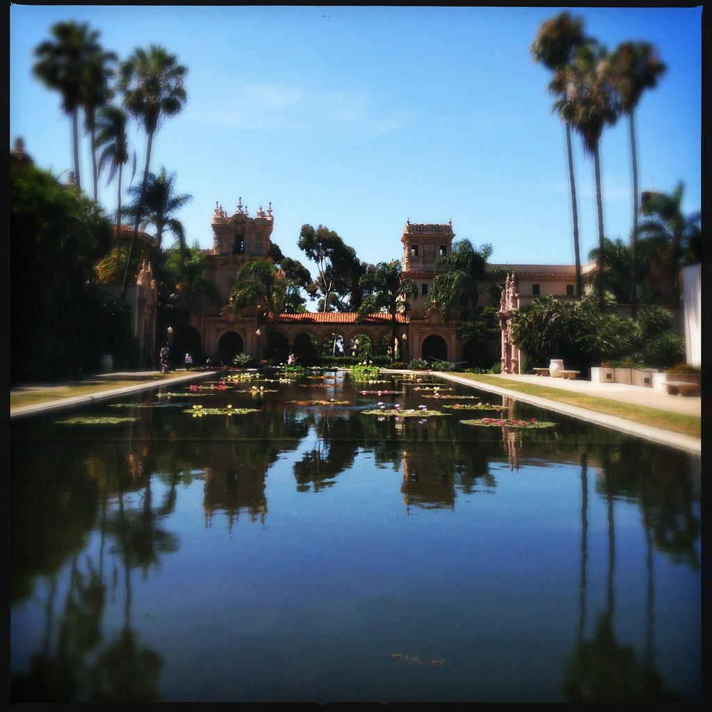
Balboa Park, Botanical Building and Arboretum

CH-53
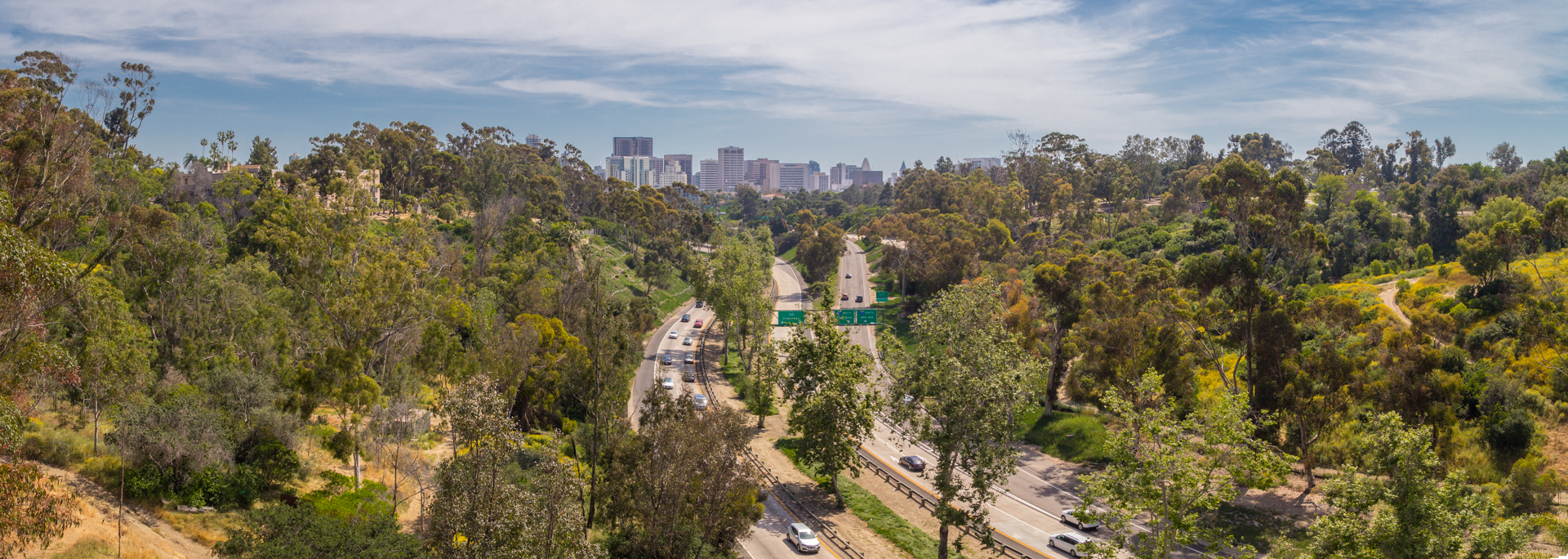
All Roads Lead to America’s Finest City
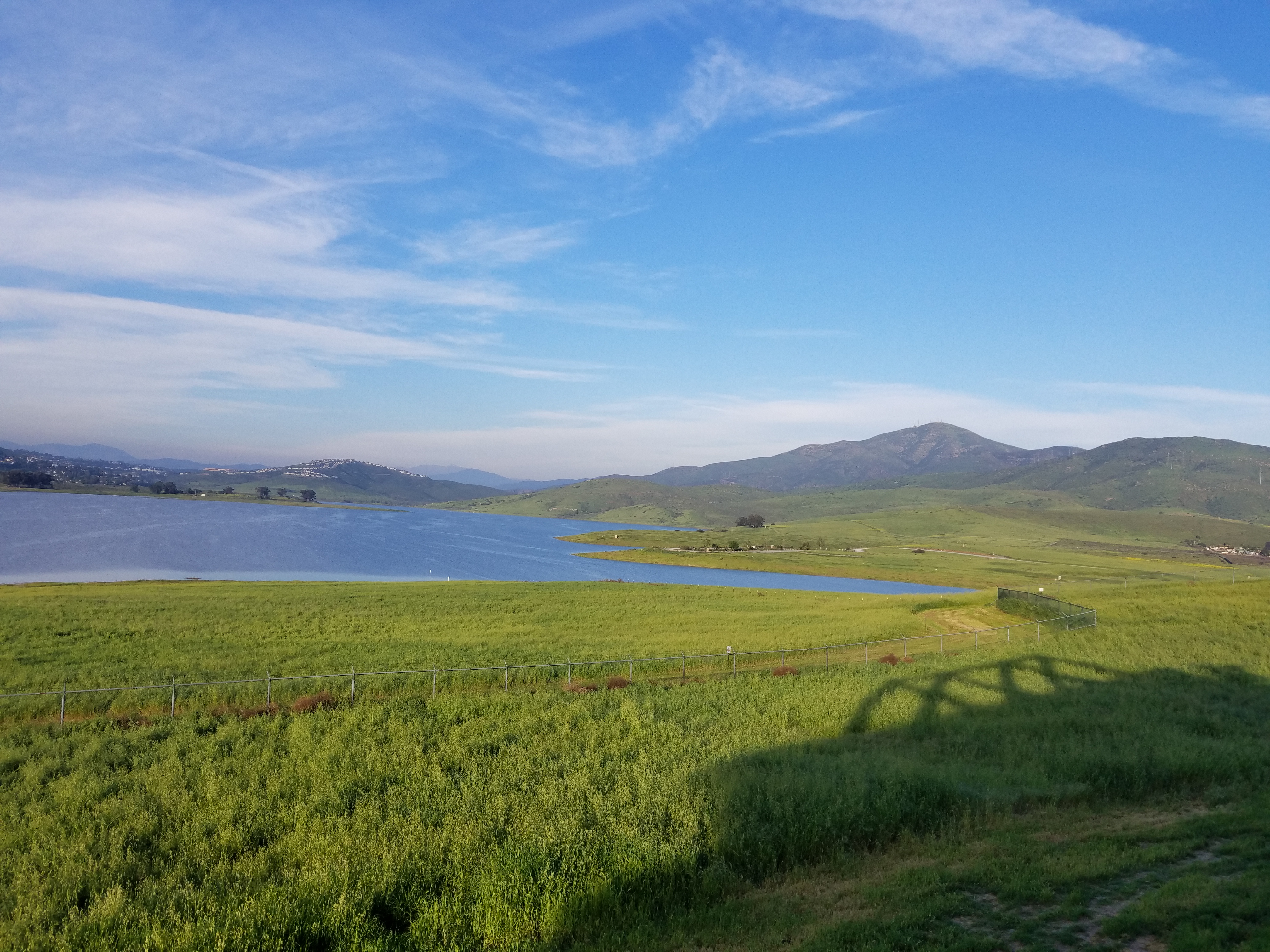
Lake Jennings
Variegated Machine

Cowles Sunrise
Another panoramic view from atop Blue Rock in Santee
Panoramic view of Santee at sunset.

Mulberry Leaf Patterns
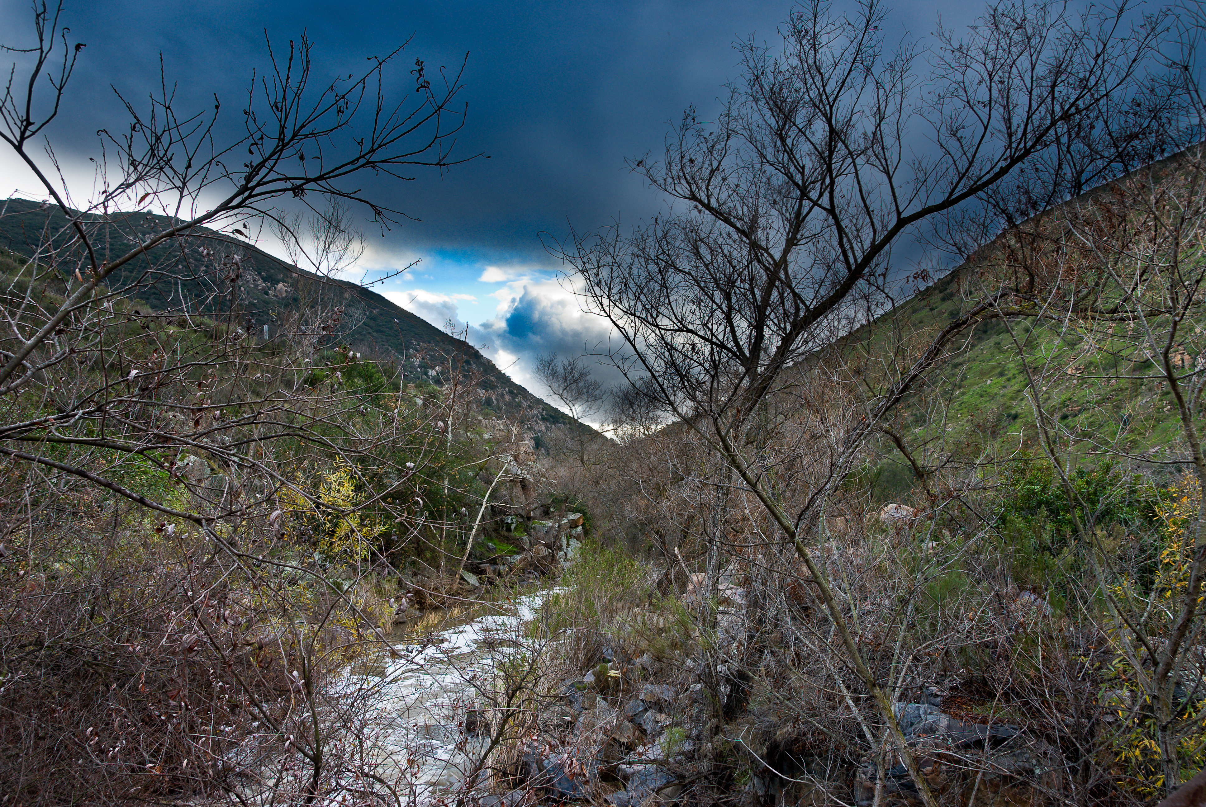
Mission Trails Park
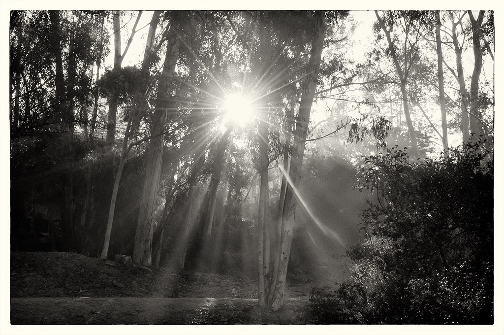
Sunbeams & Flare
Tree Reflections At Santee Lakes

Lindo Lake - The Temp - Explored
Love you baby
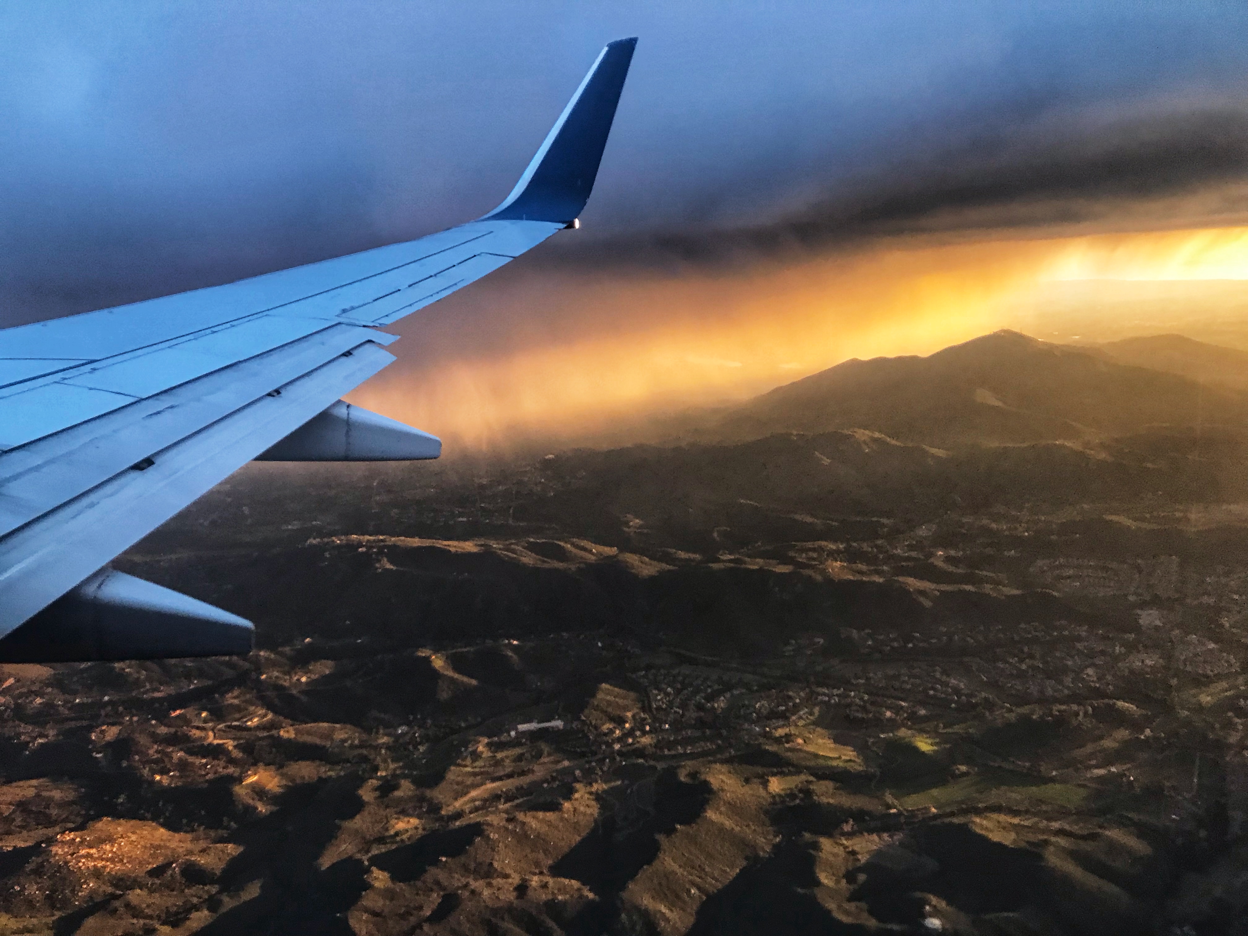
Over San Diego

Otay Sweetwater Refuge
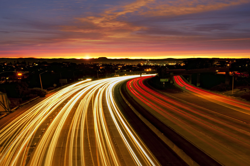
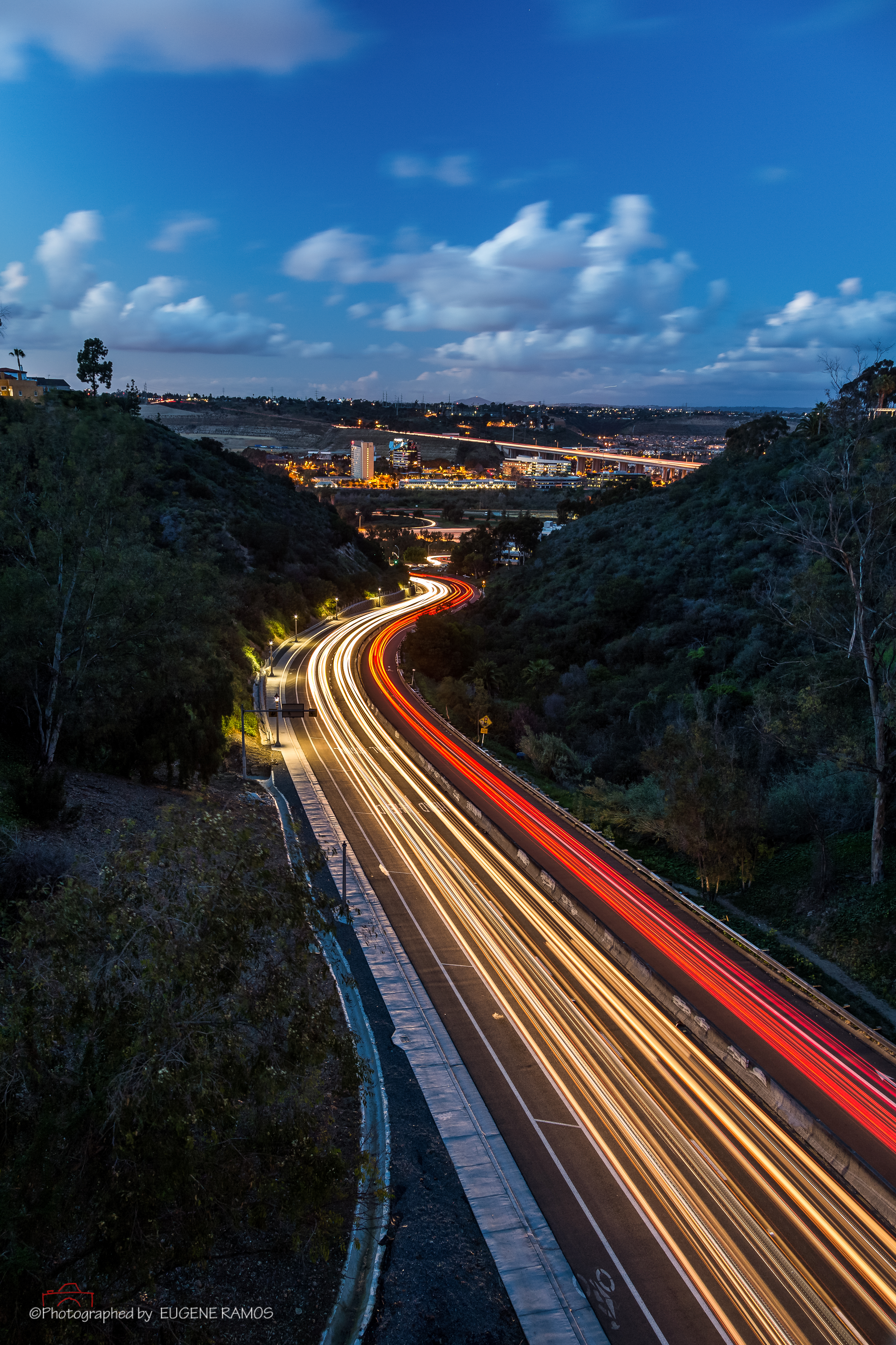
Morning Commute
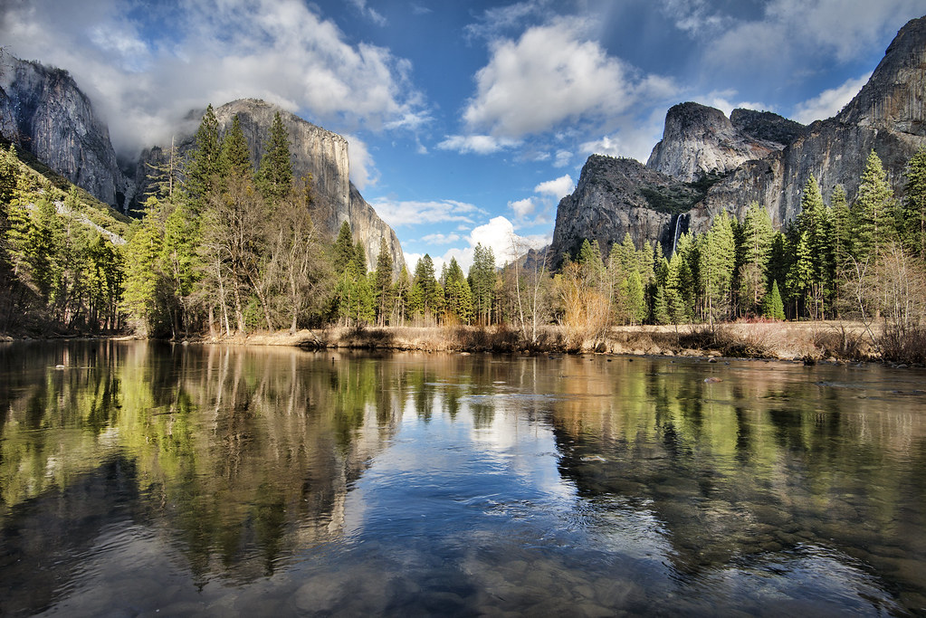
El Capitan Reflection
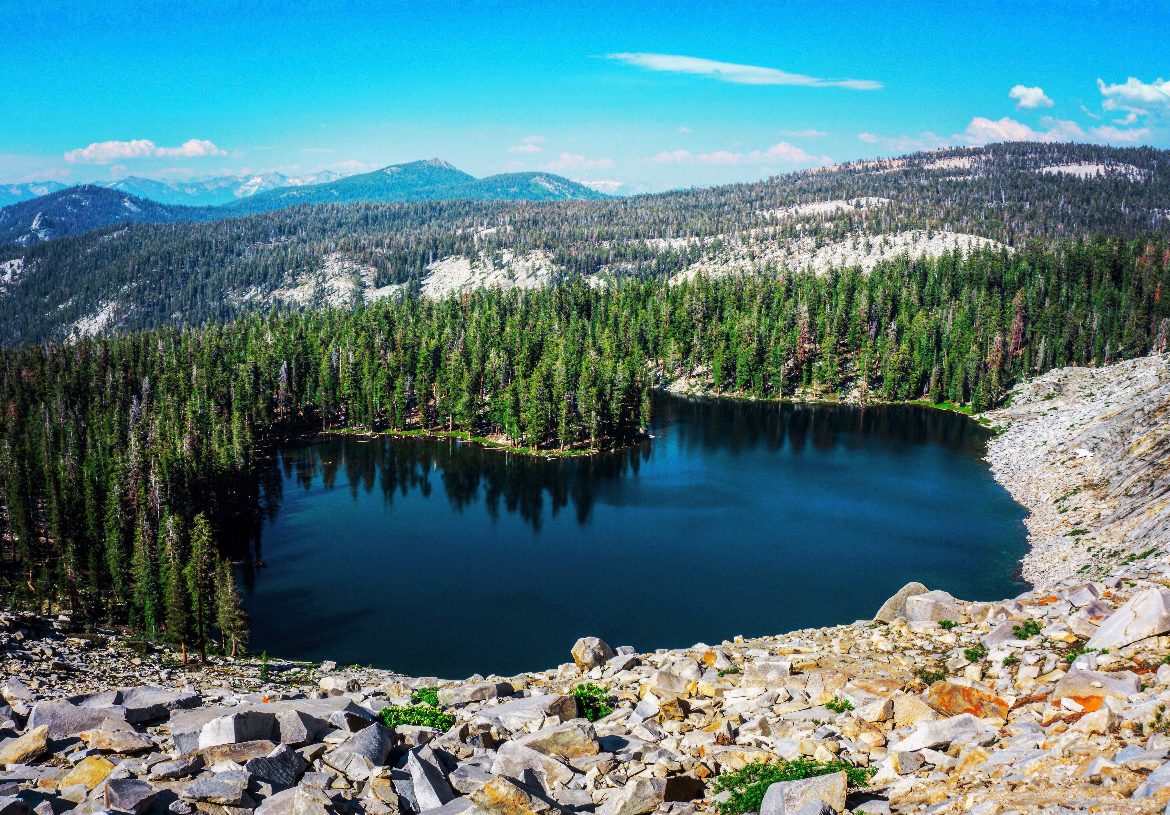
Jennie Lakes Wilderness
IMG_6966-Edit.jpg

5X4A9872-1
PEDB20181204-032-Edit

14 (with the jack)
Visitor Center Loop Trail - Mission Trails Park
PEDB20090217-023-Edit.jpg
Visitor Center Loop Trail - Mission Trails Park
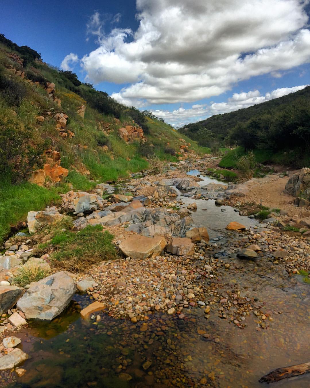
Water along Oak Canyon.
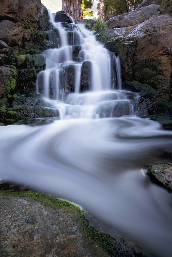
A d o b e F a l l s
California 2013
Oak Canyon Trail - Mission Trails Park
Topographic Map of Ballinger Ave, San Diego, CA, USA
Find elevation by address:

Places near Ballinger Ave, San Diego, CA, USA:
7141 Cowles Mountain Blvd
Bobhird Drive
8676 Climax Ct
6581 Jaffe Ct
6549 Jaffe Ct
6313 Boulder Lake Ave
6307 Boulder Lake Ave
Lake Murray
6208 Lake Apopka Pl
Lake Murray Boulevard
Lake Murray Boulevard
Fletcher Hills
Hills Lake Drive
1940 Hacienda Dr
9246 Todos Santos Dr
9355 De Camp Dr
2058 Estela Dr
North Westwind Drive
9550 Lakeview Dr
Recent Searches:
- Elevation of Corso Fratelli Cairoli, 35, Macerata MC, Italy
- Elevation of Tallevast Rd, Sarasota, FL, USA
- Elevation of 4th St E, Sonoma, CA, USA
- Elevation of Black Hollow Rd, Pennsdale, PA, USA
- Elevation of Oakland Ave, Williamsport, PA, USA
- Elevation of Pedrógão Grande, Portugal
- Elevation of Klee Dr, Martinsburg, WV, USA
- Elevation of Via Roma, Pieranica CR, Italy
- Elevation of Tavkvetili Mountain, Georgia
- Elevation of Hartfords Bluff Cir, Mt Pleasant, SC, USA