Elevation of Balassagyarmat, Hungary
Location: Hungary >
Longitude: 19.2937136
Latitude: 48.0711866
Elevation: 151m / 495feet
Barometric Pressure: 100KPa
Elevation Map:
Satellite Map:
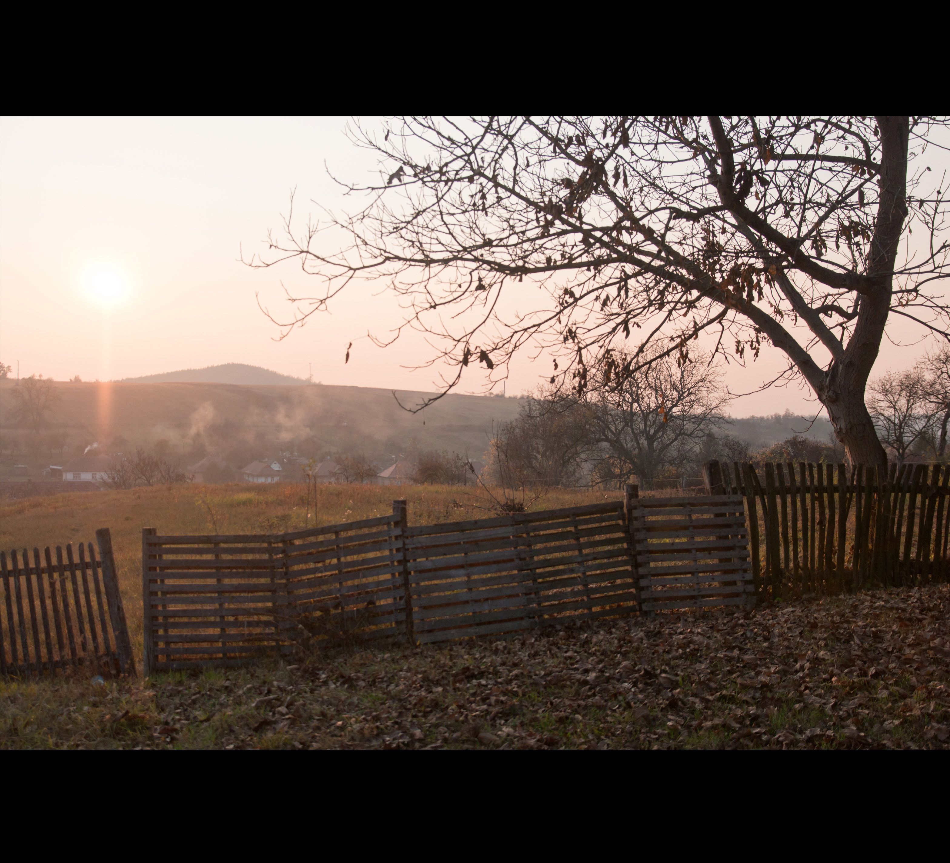
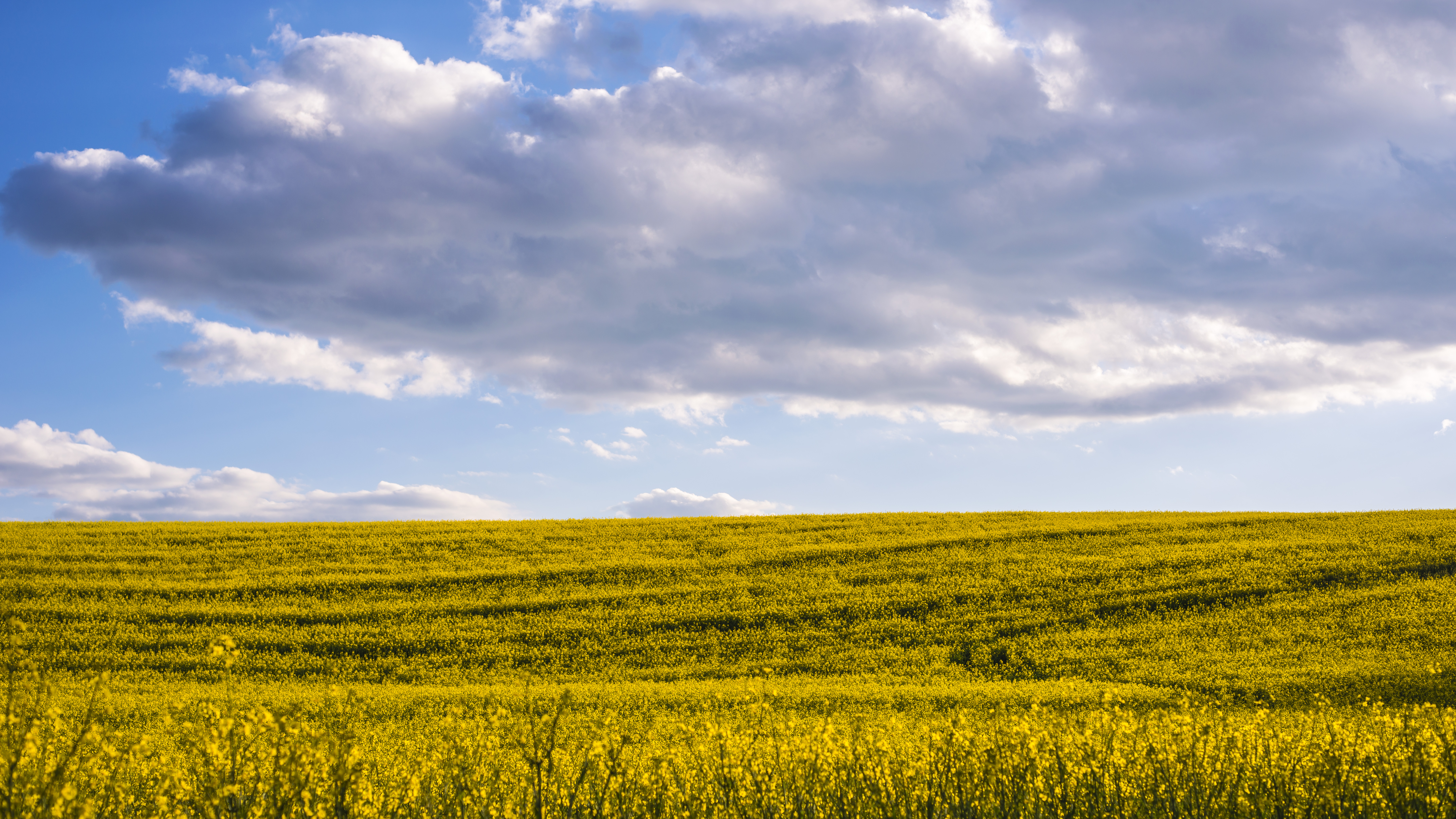
Related Photos:

Őrhalom határában

Dolinka - Sunny/Cloudy

The Rainbow Connection.
Deep inside.

Speaking silence.

Egy fa kidől, messze hangzik. Nő az erdő: ki hallja? ~székely közmondás

Hidden treasures.

Sparkling.

Let them lead you.

September landscape with church and sheep

Run for your life.

Communication.

Hear Our Praises.

winter landscape

winter sunset

Perspective.

Chasing Light.
XP'16-wallp2.

Fürge.

I would stand still.

Manci.

Observing Hidden

Blue hills.

rézparti.

winter sunset

Szécsény, horgásztó
Topographic Map of Balassagyarmat, Hungary
Find elevation by address:

Places near Balassagyarmat, Hungary:
Veľký Krtíš District
Romhány
Vinica
Diósjenő
Ipolytarnóc
Zvolen District
Banská Bystrica Region
Sazdice
Jozefa Kozáčeka
Banská Štiavnica
Budča
Hriňová
Levice District
Banská Bystrica
Banská Bystrica District
Tajov
Brezno District
Nitra Region
Low Tatras
Ružomberok District
Recent Searches:
- Elevation of Corso Fratelli Cairoli, 35, Macerata MC, Italy
- Elevation of Tallevast Rd, Sarasota, FL, USA
- Elevation of 4th St E, Sonoma, CA, USA
- Elevation of Black Hollow Rd, Pennsdale, PA, USA
- Elevation of Oakland Ave, Williamsport, PA, USA
- Elevation of Pedrógão Grande, Portugal
- Elevation of Klee Dr, Martinsburg, WV, USA
- Elevation of Via Roma, Pieranica CR, Italy
- Elevation of Tavkvetili Mountain, Georgia
- Elevation of Hartfords Bluff Cir, Mt Pleasant, SC, USA