Elevation of Bakun, Benguet, Philippines
Location: Philippines > Cordillera Administrative Region > Benguet >
Longitude: 120.689005
Latitude: 16.8079575
Elevation: 1752m / 5748feet
Barometric Pressure: 82KPa
Elevation Map:
Satellite Map:
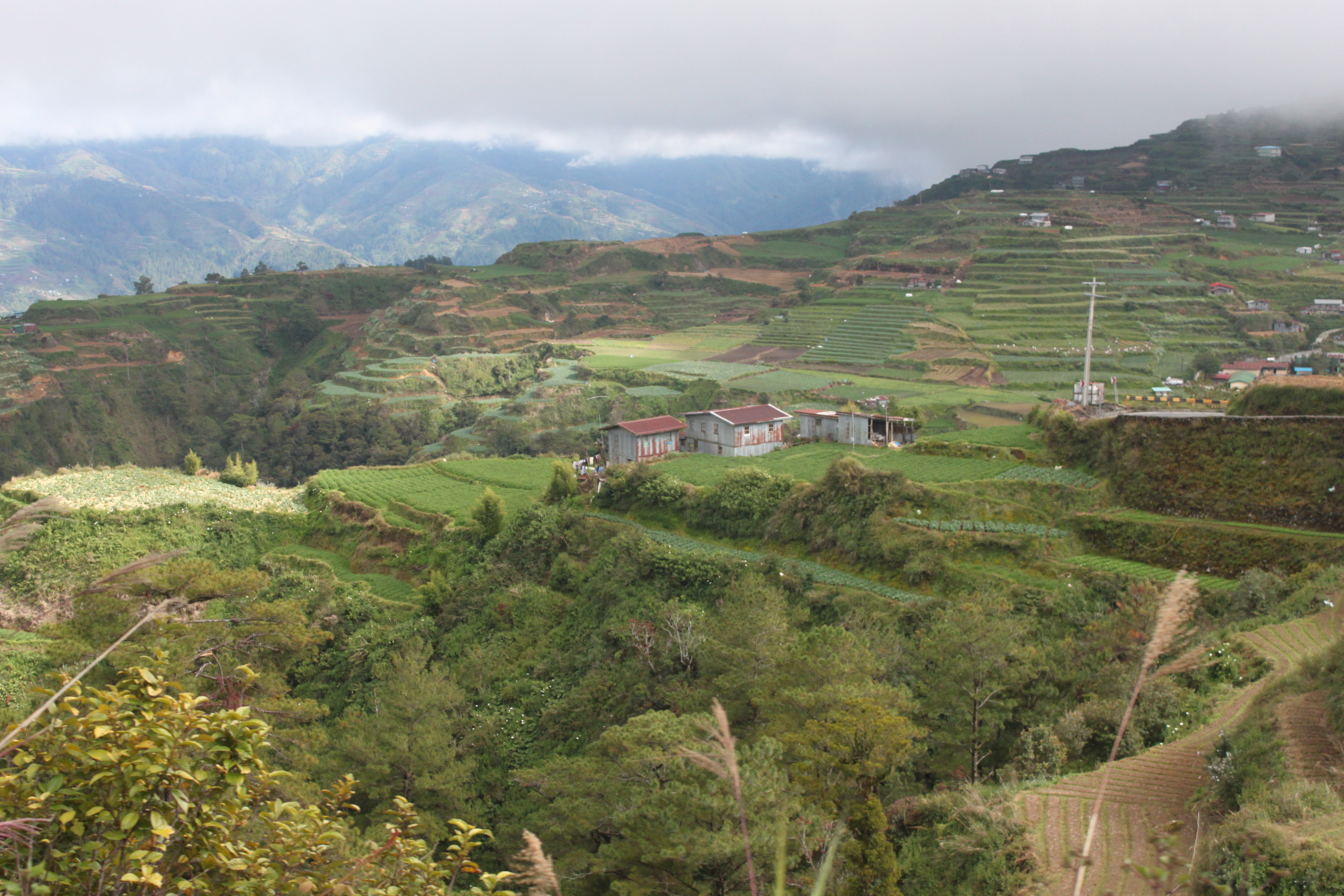
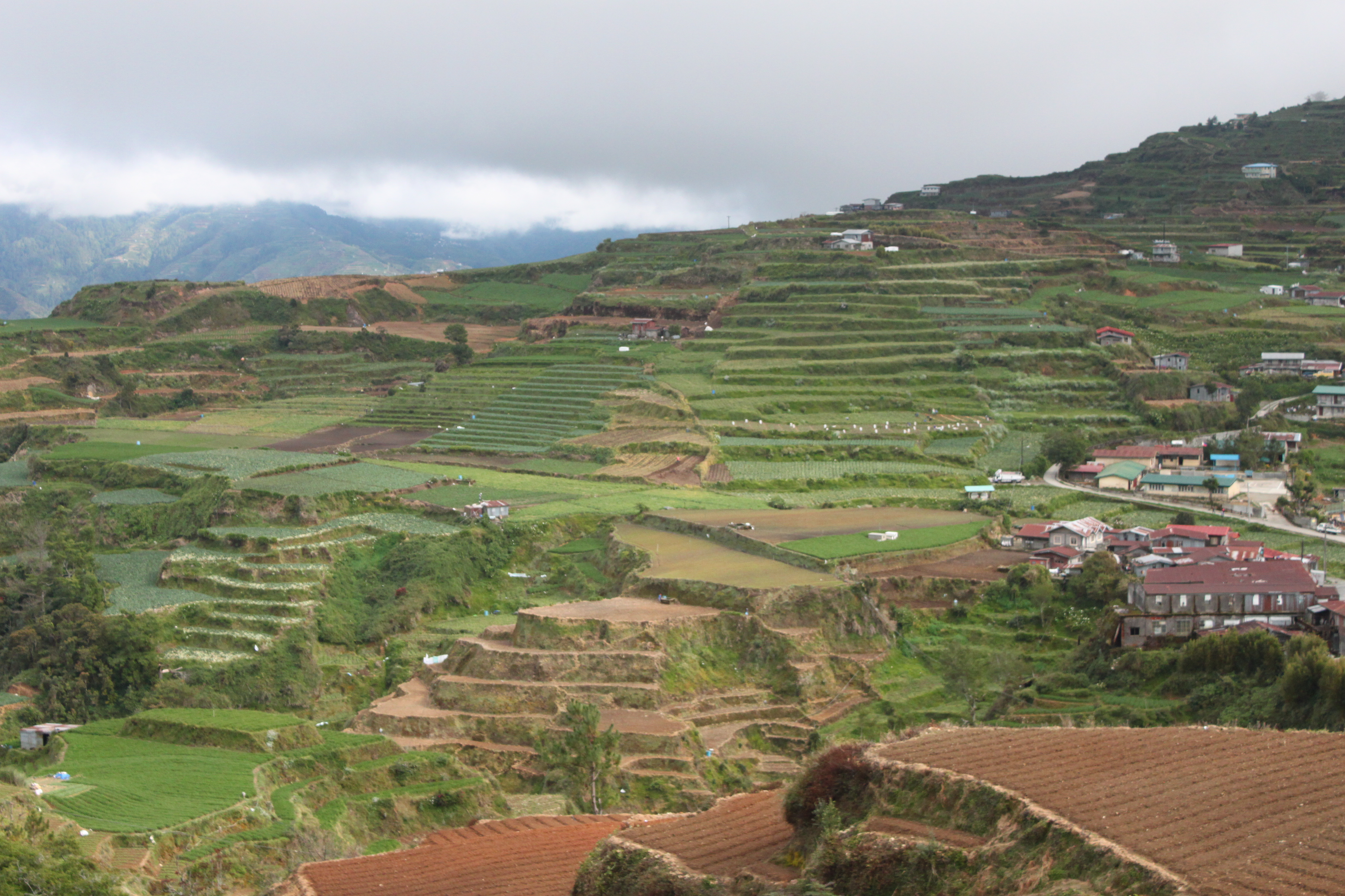
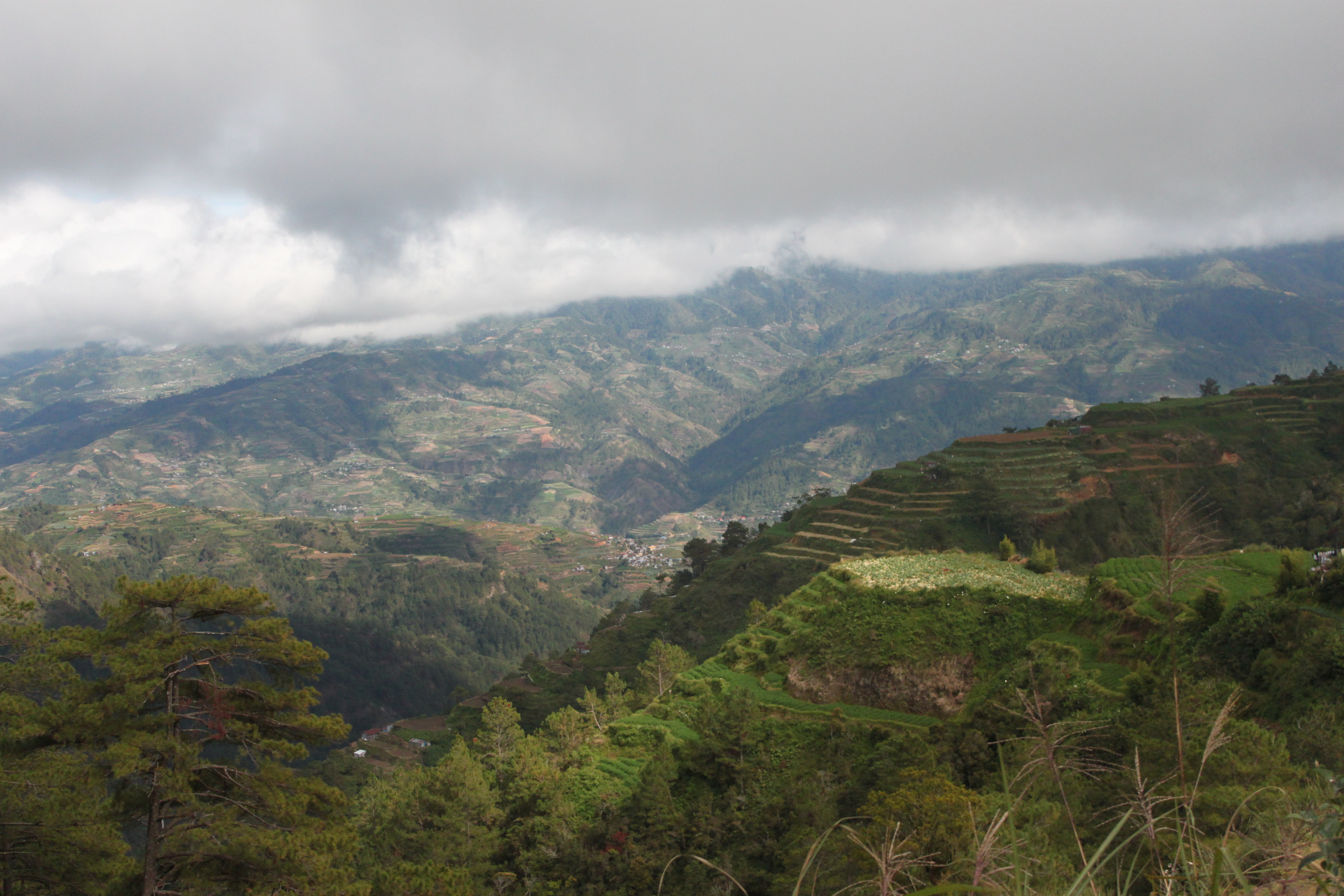
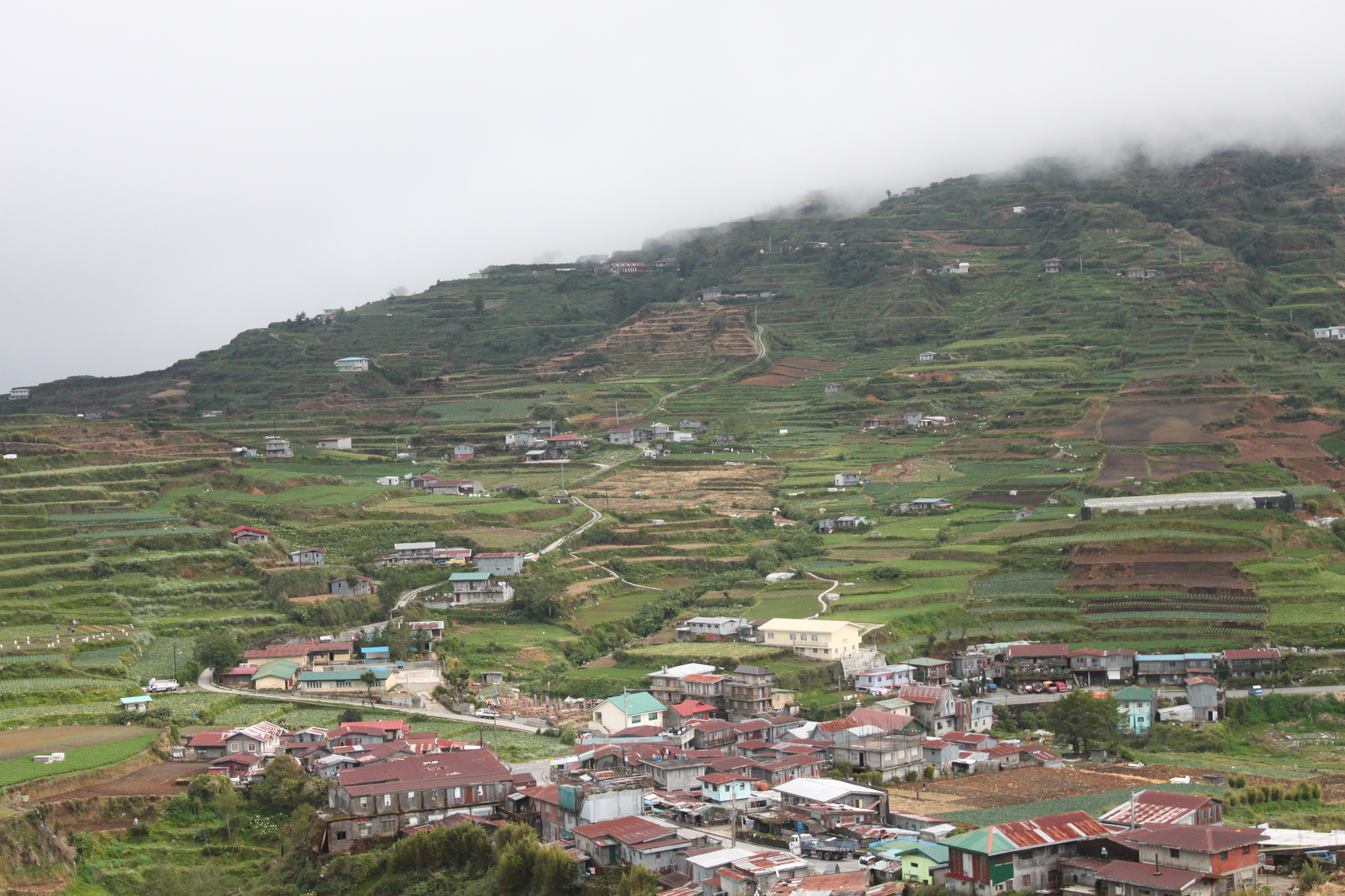
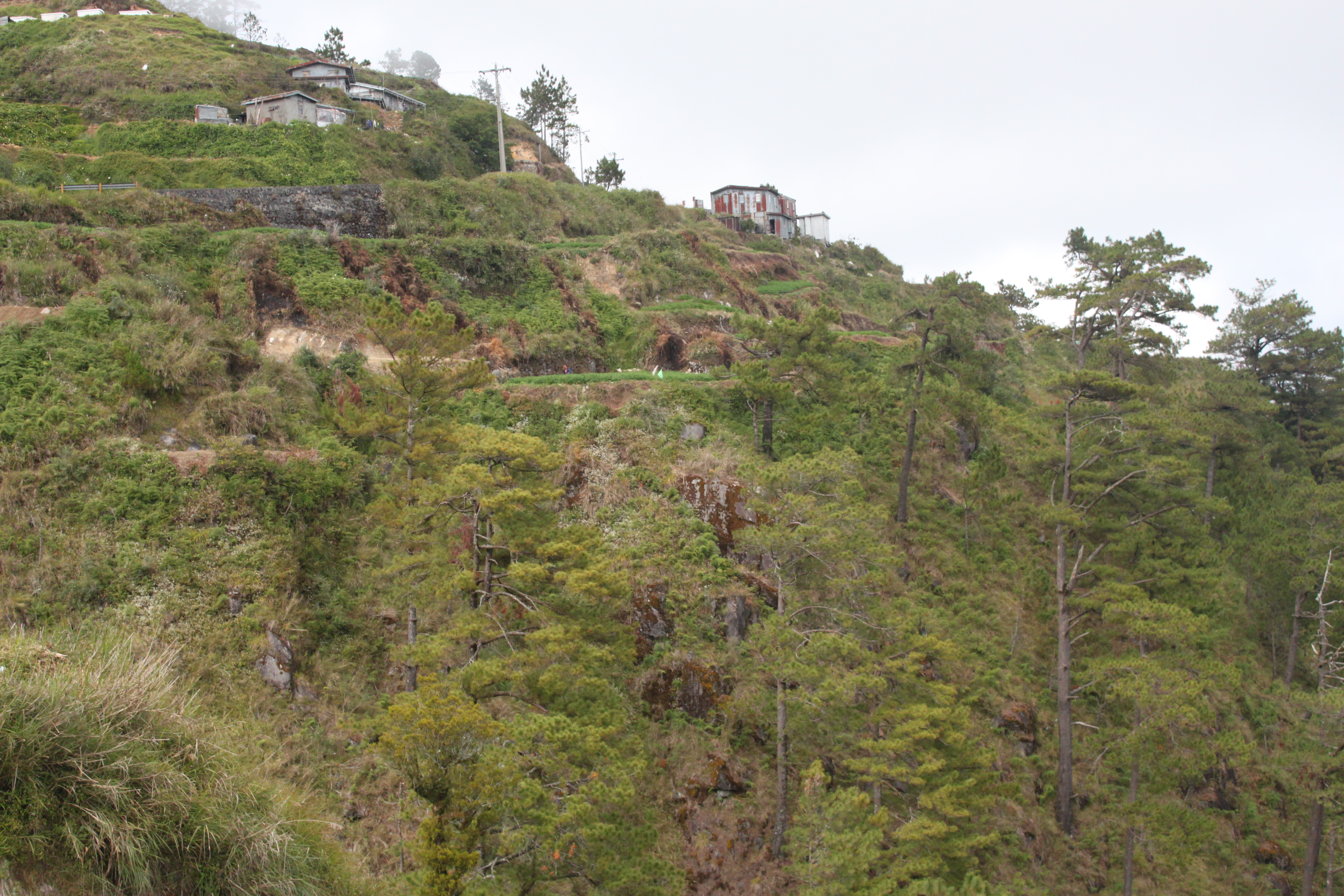
Related Photos:
20150119-009

20150119-005

20150119-011
20150119-004
20150119-008
20150119-006
20150119-010
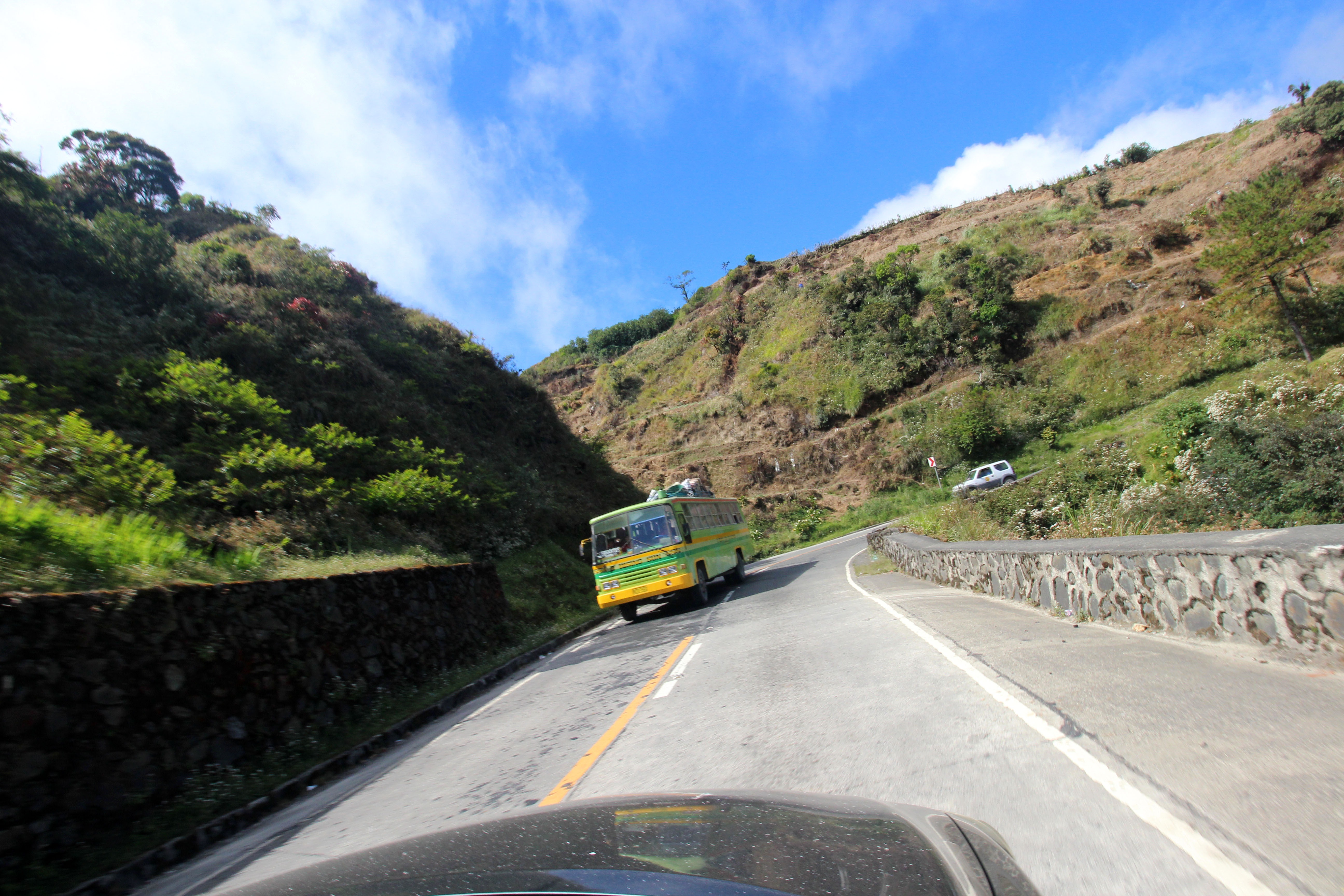
open road 17
20150119-007

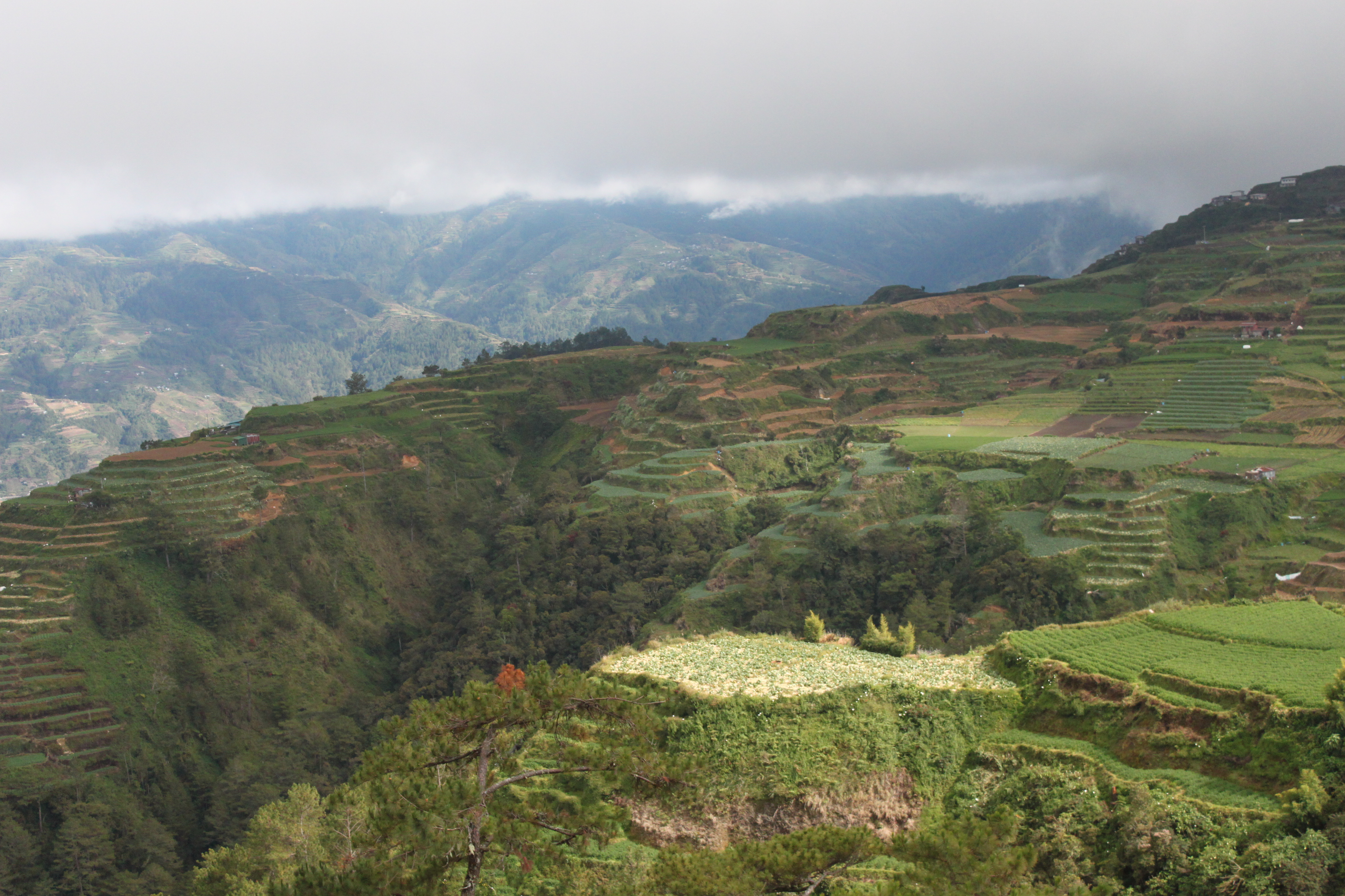
terraces by the side of the highway 8
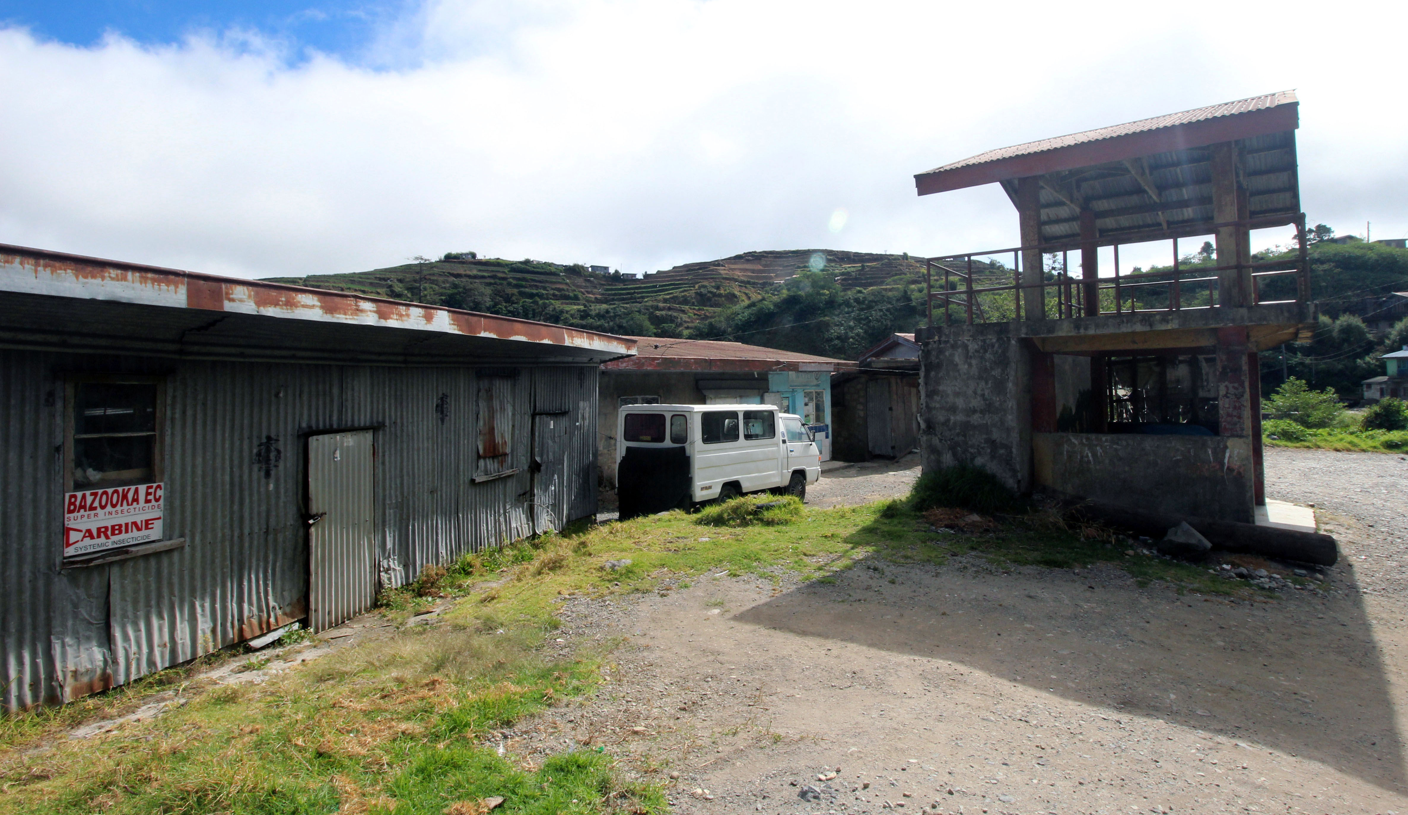
rural landscape- store
Topographic Map of Bakun, Benguet, Philippines
Find elevation by address:

Places near Bakun, Benguet, Philippines:
Tap-ayao-abiyang Elementary School (dada Elementary School)
Bakun Municipal Hall
Palina
Kayapa
Mount Guirayan
Madaymen
Lepanto
Tacadang
Sapdaan Primary School
Cabacab Elementary School - Annex (cada)
Am-am Elementary School
Balili Elementary School
Guinaoang Elementary School
Madaymen Road
Guinaoang
Tabio
Abatan
Balili National High School
Loo Elementary School Basketball Court
Balili
Recent Searches:
- Elevation of Corso Fratelli Cairoli, 35, Macerata MC, Italy
- Elevation of Tallevast Rd, Sarasota, FL, USA
- Elevation of 4th St E, Sonoma, CA, USA
- Elevation of Black Hollow Rd, Pennsdale, PA, USA
- Elevation of Oakland Ave, Williamsport, PA, USA
- Elevation of Pedrógão Grande, Portugal
- Elevation of Klee Dr, Martinsburg, WV, USA
- Elevation of Via Roma, Pieranica CR, Italy
- Elevation of Tavkvetili Mountain, Georgia
- Elevation of Hartfords Bluff Cir, Mt Pleasant, SC, USA