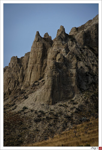
Elevation of Badger Dr, Kamloops, BC V2C 6V2, Canada

Location: Canada > British Columbia > Thompson-nicola > Kamloops > Campbell Creek >

Longitude: -120.08640

Latitude: 50.6550425

Elevation: 362m / 1188feet

Barometric Pressure: 97KPa

Elevation Map:

elevation map of Badger Dr, Kamloops, BC V2C 6V2, Canada

Satellite Map:

Satellite map of Badger Dr, Kamloops, BC V2C 6V2, Canada

Related Photos:

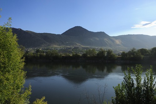
Kamloops View
canada beach nature water clouds landscape nikon scenery bc britishcolumbia hills 100views kamloops nikkor dslr 50views 18200mmf3556gvr d80
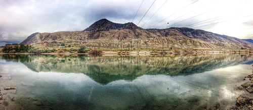
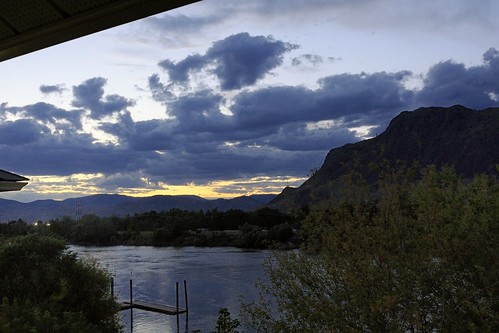
Reflected Serenity
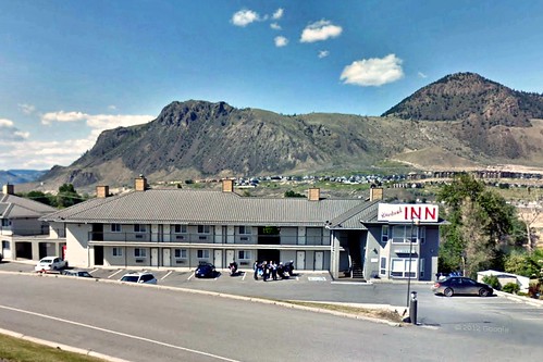
canada britishcolumbia can kamloops riverlandhotel
130722-0757 Mountaineer
2510 Skeena Drive
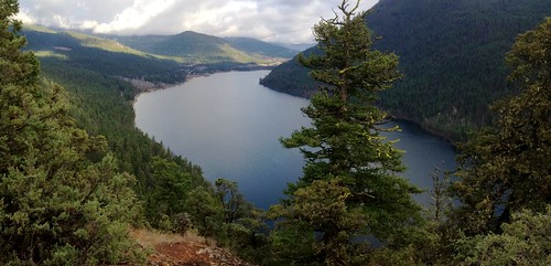
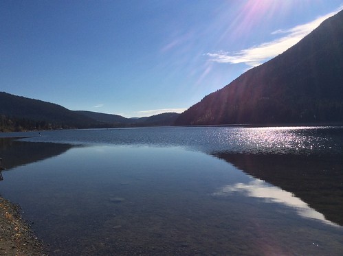
(Half of) Paul Lake
canada britishcolumbia can kamloops rockymountaineer riverlandhotel
130721-2226 Mountaineer
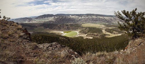
trees panorama mountains landscape bc view britishcolumbia wide kamloops buselake kellycoster
Buse Lake
car google googlemaps maps subaru kamloops impreza streetview valleyview vss pegman googlestreetview vvjs valleyviewsecondaryschool
Google maps Street View Subaru Impreza
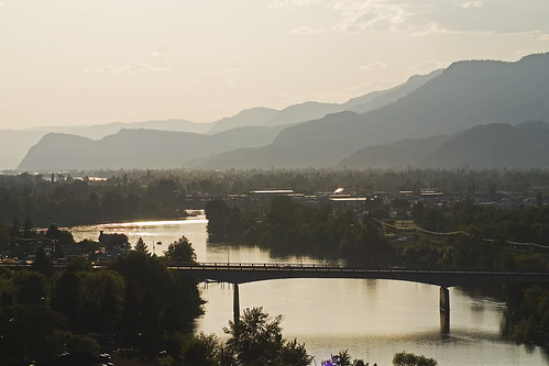
kamloops souththompsonriver
South Thompson River
canada bicycle photoshop copenhagen geotagged bc activism climatechange globalwarming cycletouring p4p cop15 kyotoplus pedalfortheplanet geo:lat=50679709 geo:lon=120241241
Shuswap Rd views
Beautiful British Columbia
canada britishcolumbia can kamloops rockymountaineer riverlandhotel
130721-2224 Mountaineer
canada britishcolumbia can kamloops rockymountaineer riverlandhotel
130721-1800 Mountaineer
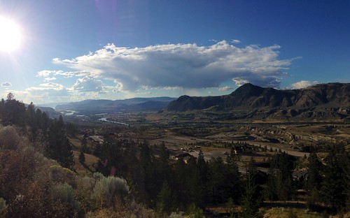
Kamloops, BC
travel landscape rockies scenery scenic scene trips rockymountains iphone simplyred acrosscanada travelcanada iphone5 simplyred4x4 iphoneacrosscanada2014
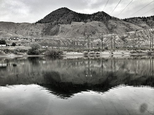
Kamloops B&W
people canada reflection beach nature water animals clouds river landscape vanishingpoint nikon scenery bc britishcolumbia perspective christine hills kamloops nikkor dslr 18200mmf3556gvr d80
Temporary Pond
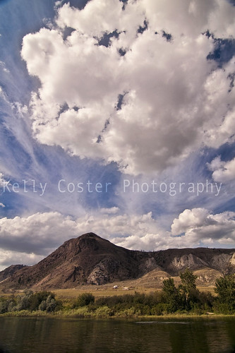
blue sky cloud mountain nature clouds river landscape cloudy fluffy kellycoster
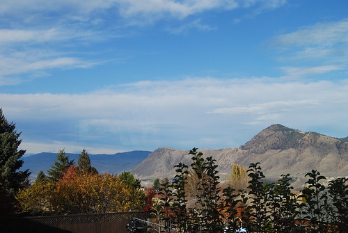
Cloud Stretch
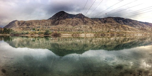
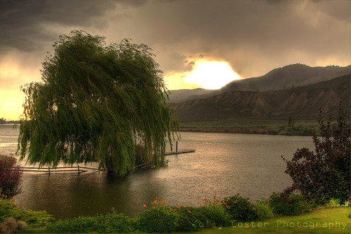
sky storm tree nature rain clouds river dark landscape underwater flood willow kamloops hdr overflow 40d souththompson kellycoster
Storm Flood
Kamloops b.c
uploaded:by=flickrmobile flickriosapp:filter=nofilter
Kamloops, BC
Untitled.JPG 2h
Rollin' out of Kamloops
driving roadtrip2012
2012-07-28-7408
driving roadtrip2012
2012-07-28-7408
euro table (color)
driving roadtrip2012
2012-07-28-7410
canada britishcolumbia kamloops
DSC_2465.jpg
Kamloops b.c
driving roadtrip2012
2012-07-28-7410
honeymoon
Mount Revelstoke
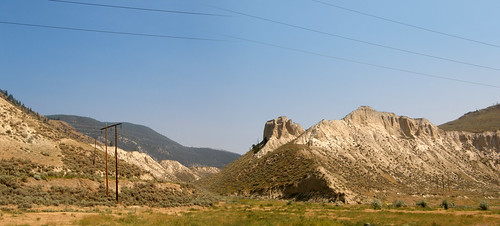
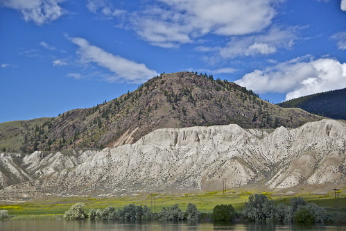
sand cliffs kamloops thompson hoodoos
Sand Cliffs
{1BF8474D-369F-B928-C259-1364A018D887}