Elevation of Andover Crescent, Kamloops, BC V2C 6X2, Canada
Location: Canada > British Columbia > Thompson-nicola > Kamloops > Campbell Creek >
Longitude: -120.09662
Latitude: 50.65725
Elevation: 349m / 1145feet
Barometric Pressure: 97KPa
Elevation Map:
Satellite Map:
Related Photos:
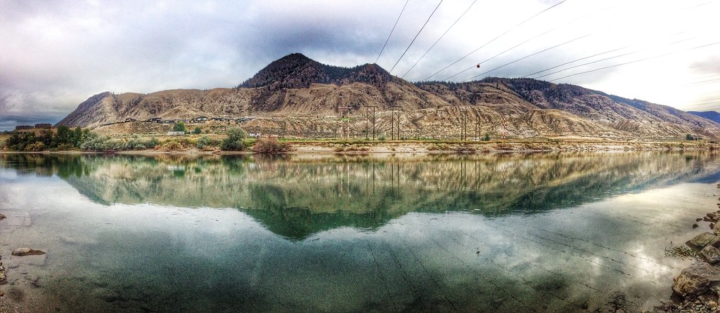
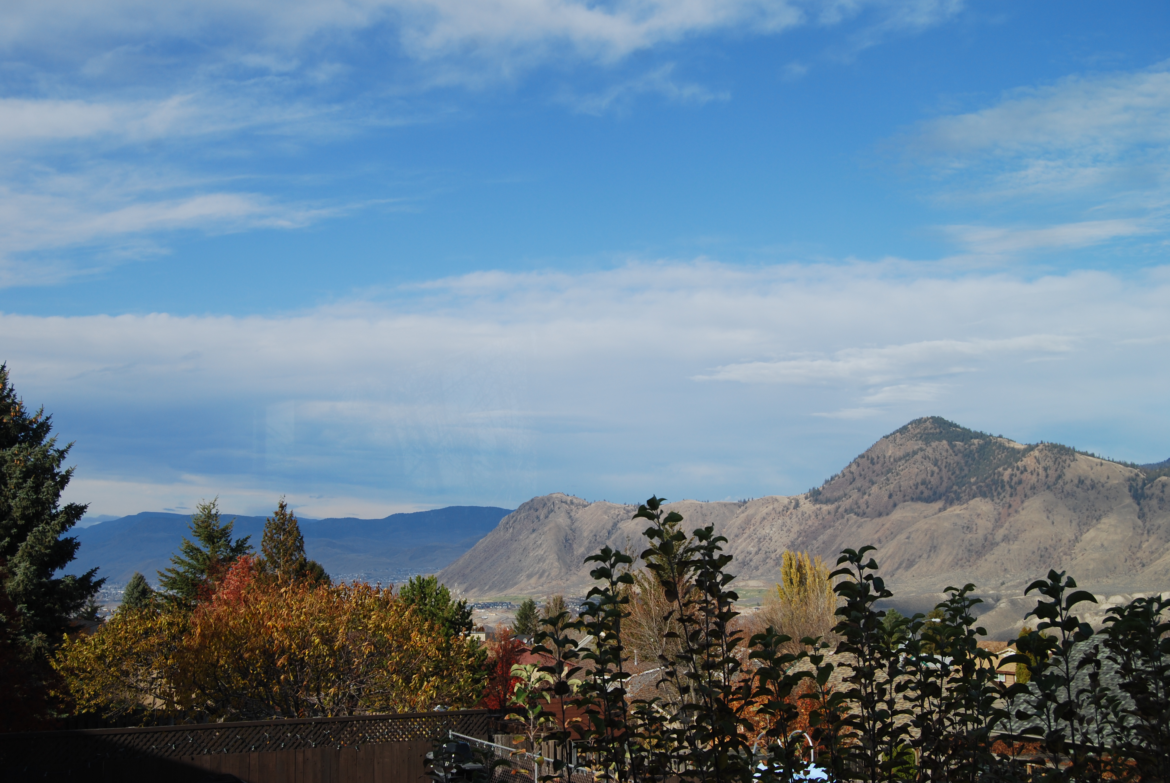
Kamloops View
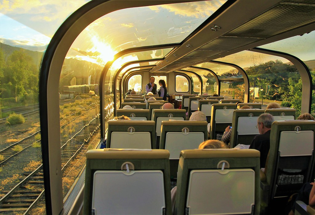
'Gold Leaf' Carriage, Rocky Mountaineer - Leaving Kamloops enroute to Revelstroke, British Columbia, Lake Louise & Banff, Alberta, Canada
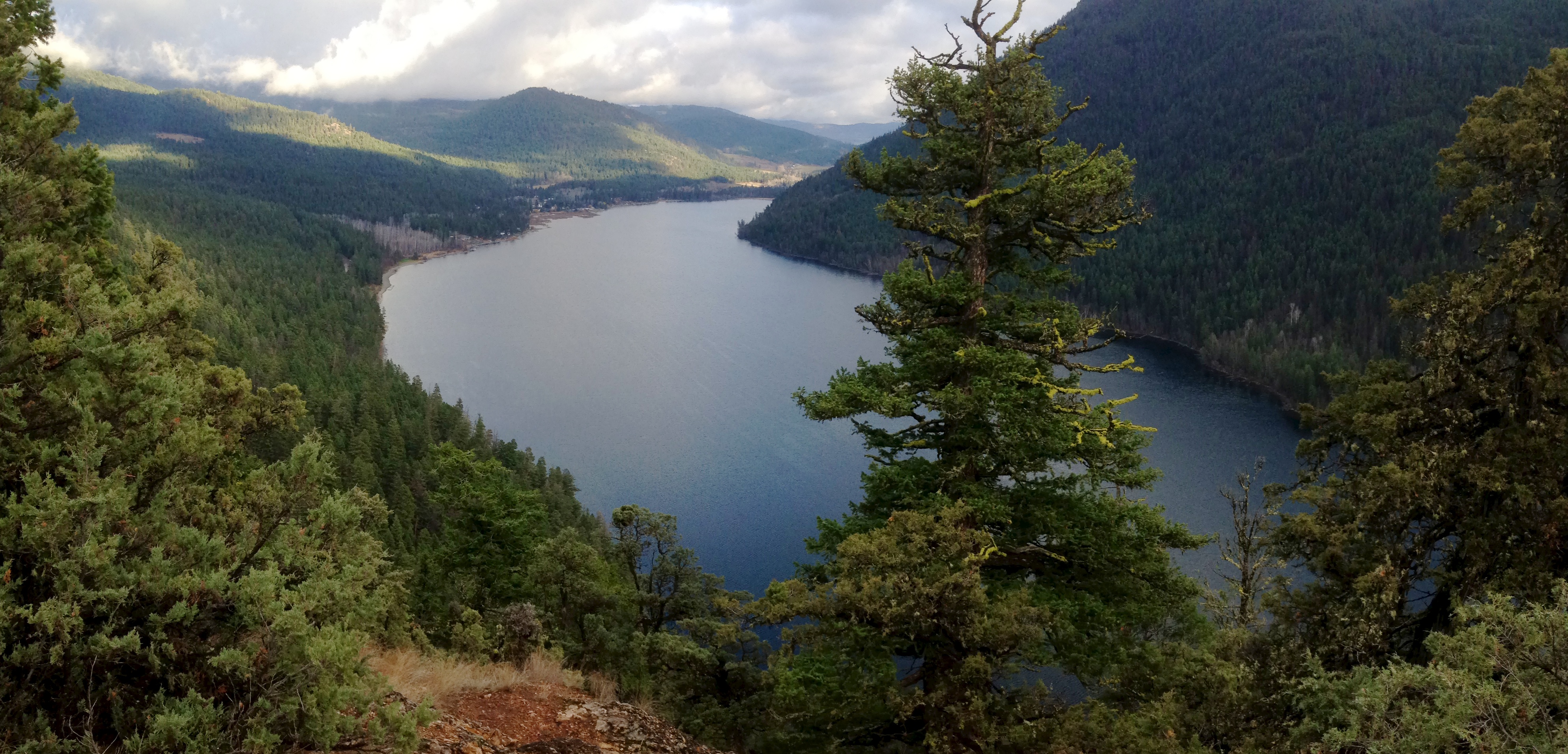
(Half of) Paul Lake

Reflected Serenity

Love me!

Red at Night

Buse Lake

City of Bridges
DSC_2443.jpg
2510 Skeena Drive

130721-2226 Mountaineer
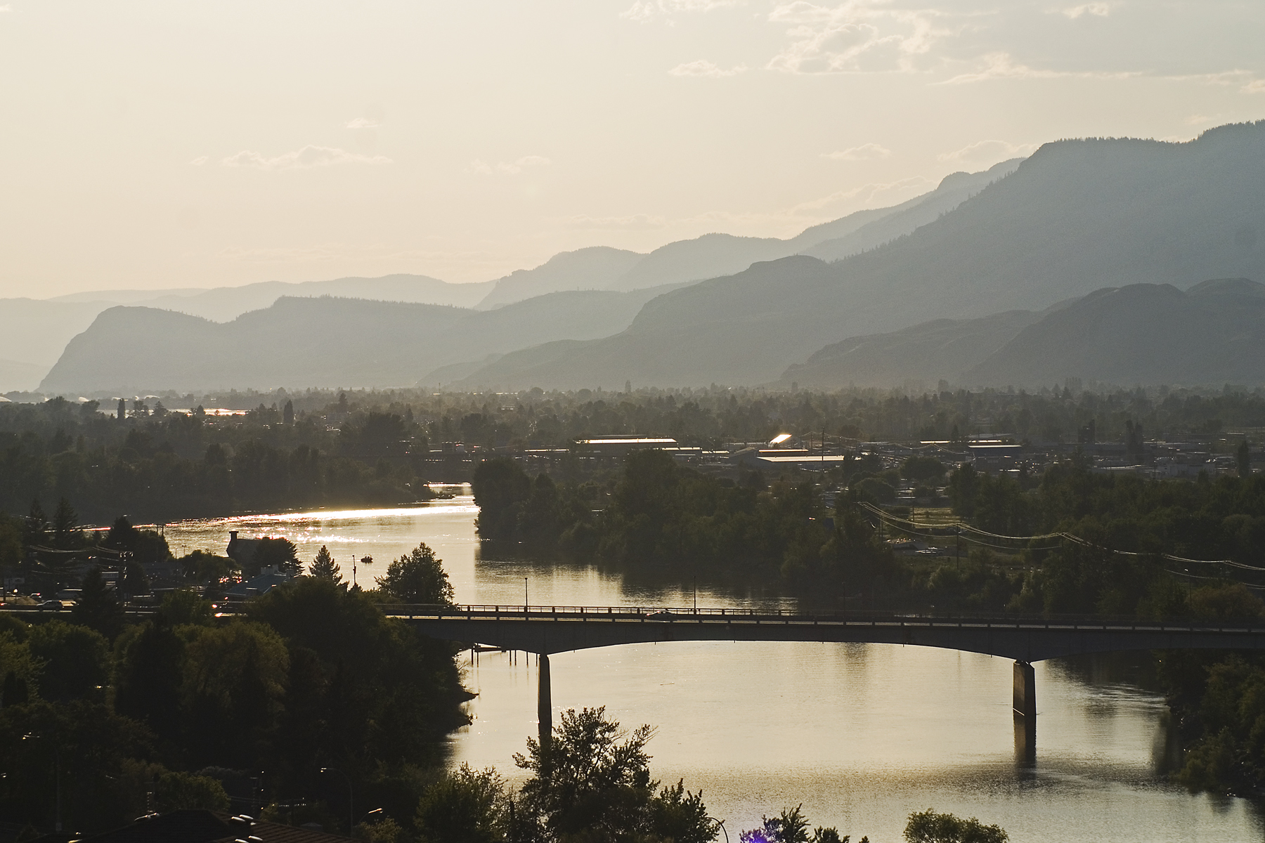
South Thompson River

Everyone, to the Apricot!
Beautiful British Columbia
130721-2224 Mountaineer
130721-1800 Mountaineer

Google maps Street View Subaru Impreza
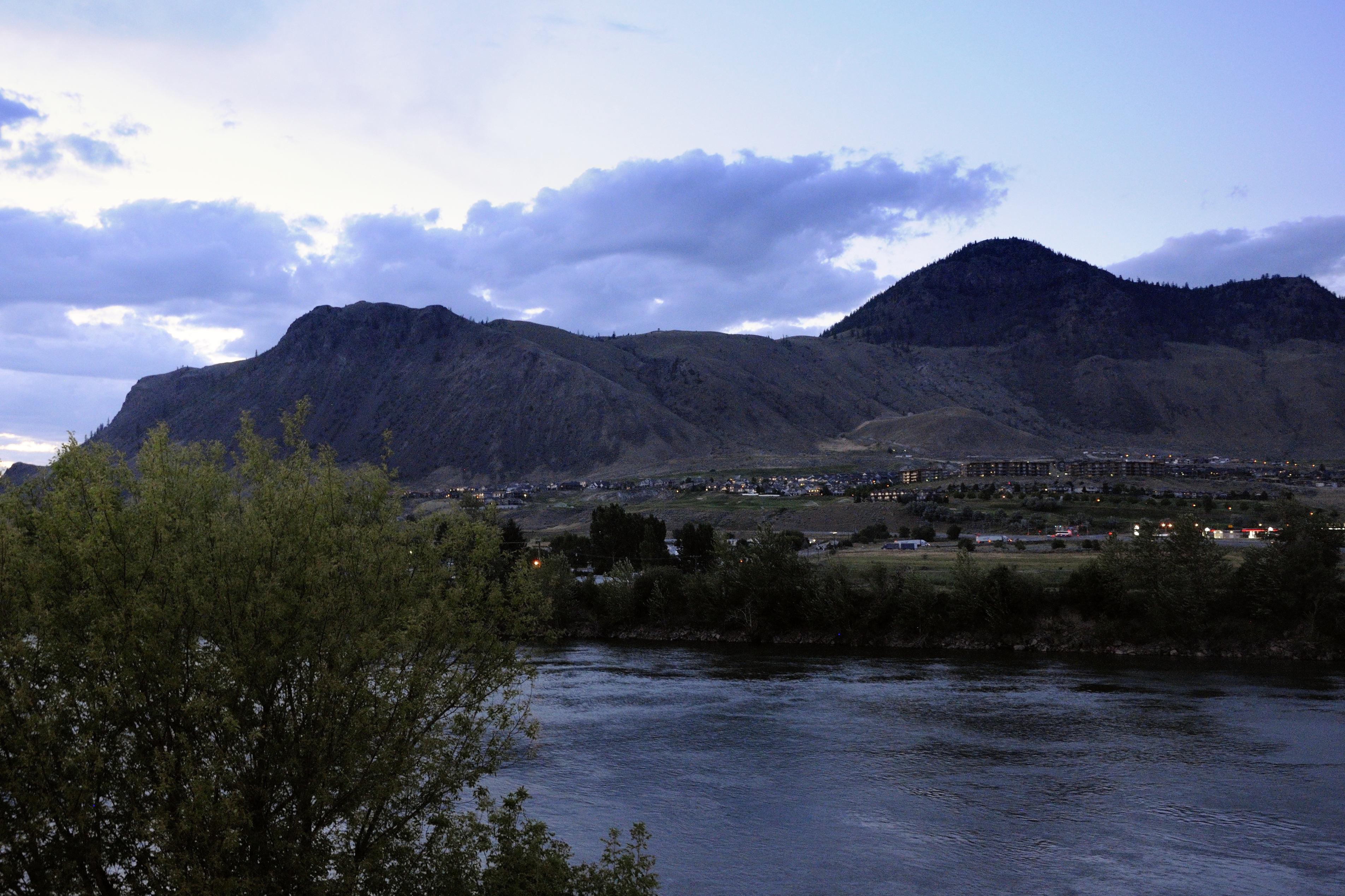
Kamloops, BC

Kamloops B&W

Cloud Stretch

Temporary Pond

Storm Flood

CP 8792
Topographic Map of Andover Crescent, Kamloops, BC V2C 6X2, Canada
Find elevation by address:

Places near Andover Crescent, Kamloops, BC V2C 6X2, Canada:
8017 Badger Dr
8017 Badger Dr
Campbell Creek
Barnhartvale
7155 Dallas Dr
6509 Barnhartvale Rd
Dallas
Barnhartvale Road
1181 Highridge Dr
5906 Cooney Rd
1220 Clearview Dr
5840 Leonard Pl
Shuswap Road
Shuswap Road
V2c 5g2
Ridge Road
1276 Todd Rd
1874 Pratt Rd
5449 Ronde Ln
Cowichan Drive
Recent Searches:
- Elevation of Corso Fratelli Cairoli, 35, Macerata MC, Italy
- Elevation of Tallevast Rd, Sarasota, FL, USA
- Elevation of 4th St E, Sonoma, CA, USA
- Elevation of Black Hollow Rd, Pennsdale, PA, USA
- Elevation of Oakland Ave, Williamsport, PA, USA
- Elevation of Pedrógão Grande, Portugal
- Elevation of Klee Dr, Martinsburg, WV, USA
- Elevation of Via Roma, Pieranica CR, Italy
- Elevation of Tavkvetili Mountain, Georgia
- Elevation of Hartfords Bluff Cir, Mt Pleasant, SC, USA