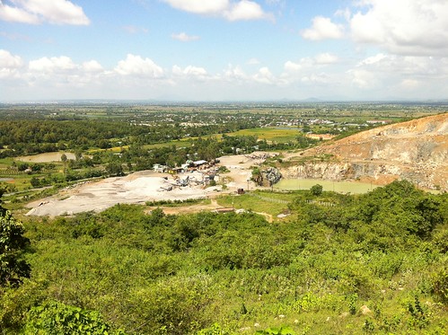
Elevation map of Bình Thuận Province, Vietnam
Location: Vietnam >
Longitude: 108.072078
Latitude: 11.0903703
Elevation: 39m / 128feet
Barometric Pressure: 101KPa
Related Photos:
Topographic Map of Bình Thuận Province, Vietnam
Find elevation by address:

Places near Bình Thuận Province, Vietnam:
Sea Links Golf Country Club
Đồi Sứ Resort
ấp Hiệp Quyết 1
Xuyên Mộc District
Bảo Quang
Bưng Riềng
Long Khanh
The Bluffs Ho Tram Strip
Dong Nai
Ba Ria - Vung Tau
Bửu An
Trảng Bom District
Đồi 61
Long Hải
Long Thành District
Giang Dien Waterfall Eco Resort
Giang Điền
Vũng Tàu
Công Ty Tnhh Cargill Việt Nam
Kcn Bien Hoa 2
Recent Searches:
- Elevation of Corso Fratelli Cairoli, 35, Macerata MC, Italy
- Elevation of Tallevast Rd, Sarasota, FL, USA
- Elevation of 4th St E, Sonoma, CA, USA
- Elevation of Black Hollow Rd, Pennsdale, PA, USA
- Elevation of Oakland Ave, Williamsport, PA, USA
- Elevation of Pedrógão Grande, Portugal
- Elevation of Klee Dr, Martinsburg, WV, USA
- Elevation of Via Roma, Pieranica CR, Italy
- Elevation of Tavkvetili Mountain, Georgia
- Elevation of Hartfords Bluff Cir, Mt Pleasant, SC, USA


