Elevation of Long Thành District, Dong Nai, Vietnam
Location: Vietnam > Dong Nai >
Longitude: 107.013529
Latitude: 10.7932946
Elevation: -10000m / -32808feet
Barometric Pressure: 295KPa
Elevation Map:
Satellite Map:
Related Photos:

Bosch HcP from flycam view

2018-04-24 09.40.08 1

2013-01-18-2229.jpg

Bước tới Bình Thuận bóng xế tà. #CoThachBeach

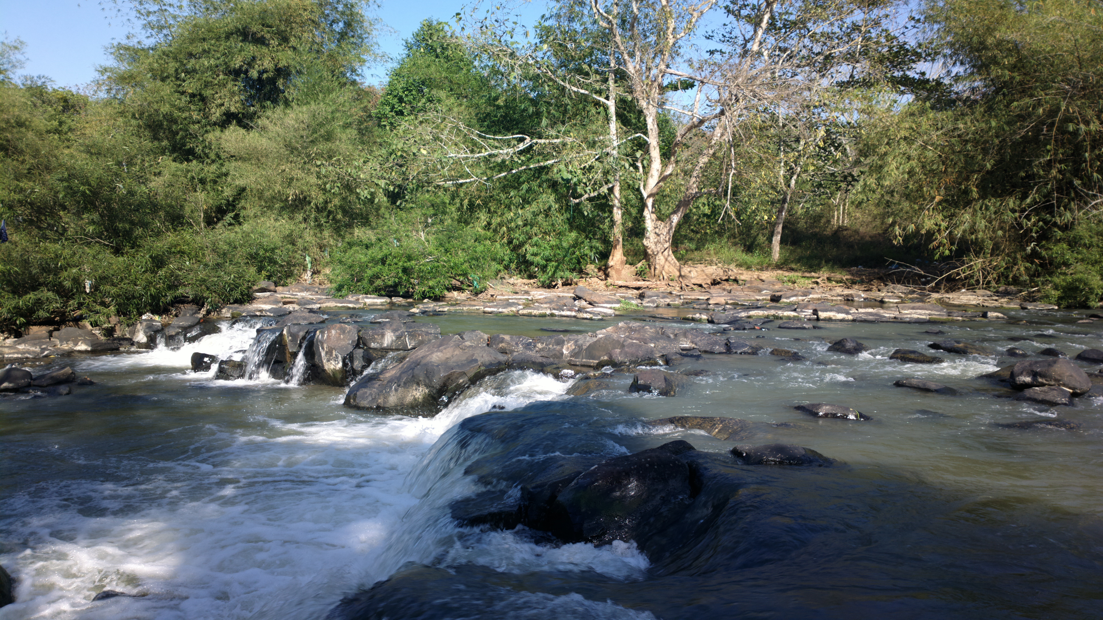
thác Giang Điền

thác Giang Điền

thác Giang Điền

trees.

thác Giang Điền

dragonflies.

thác Giang Điền

2016-08-12 10.04.46

2013-01-16-2061.jpg

Thác Giang Điền

One X - bamboo garden

2012-09-23-1826.jpg

2013-01-18-2252.jpg

2013-01-18-2265.jpg
2013-01-18-2232.jpg

2013-01-18-2256.jpg

Frozen waterfall

Golf Long Thành
Topographic Map of Long Thành District, Dong Nai, Vietnam
Find elevation by address:

Places near Long Thành District, Dong Nai, Vietnam:
Đồi 61
Giang Điền
Giang Dien Waterfall Eco Resort
Long Thanh Golf Club & Residential Estate
Trảng Bom District
Công Ty Tnhh Cargill Việt Nam
Kcn Bien Hoa 2
Long Khanh
Dong Nai
Bảo Quang
Ba Ria - Vung Tau
Bửu An
Vũng Tàu
105 Lê Lợi
Xuyên Mộc District
Long Hải
ấp Hiệp Quyết 1
The Bluffs Ho Tram Strip
Bưng Riềng
Đồi Sứ Resort
Recent Searches:
- Elevation of Corso Fratelli Cairoli, 35, Macerata MC, Italy
- Elevation of Tallevast Rd, Sarasota, FL, USA
- Elevation of 4th St E, Sonoma, CA, USA
- Elevation of Black Hollow Rd, Pennsdale, PA, USA
- Elevation of Oakland Ave, Williamsport, PA, USA
- Elevation of Pedrógão Grande, Portugal
- Elevation of Klee Dr, Martinsburg, WV, USA
- Elevation of Via Roma, Pieranica CR, Italy
- Elevation of Tavkvetili Mountain, Georgia
- Elevation of Hartfords Bluff Cir, Mt Pleasant, SC, USA