Elevation of Bílý Kámen, 03 Podhořany u Ronova, Czech Republic
Location: Czech Republic > Pardubice Region > Chrudim District > Podhořany U Ronova >
Longitude: 15.5508673
Latitude: 49.931115
Elevation: 390m / 1280feet
Barometric Pressure: 97KPa
Elevation Map:
Satellite Map:
Related Photos:
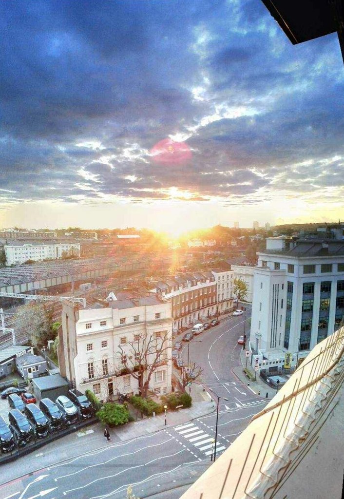
The view from tom mills 9th floor flat in Camden at sunset
IMG_3493.jpg
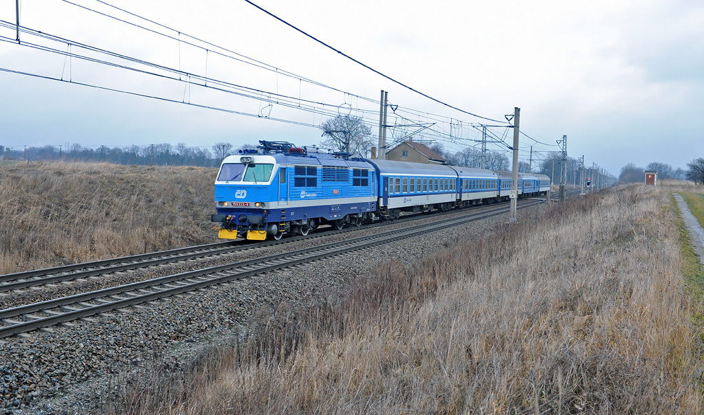
F-13102 CD150-222 R888 @ P-Opocinek
IMG_3492.jpg
IMG_3495.jpg
IMG_3669.jpg
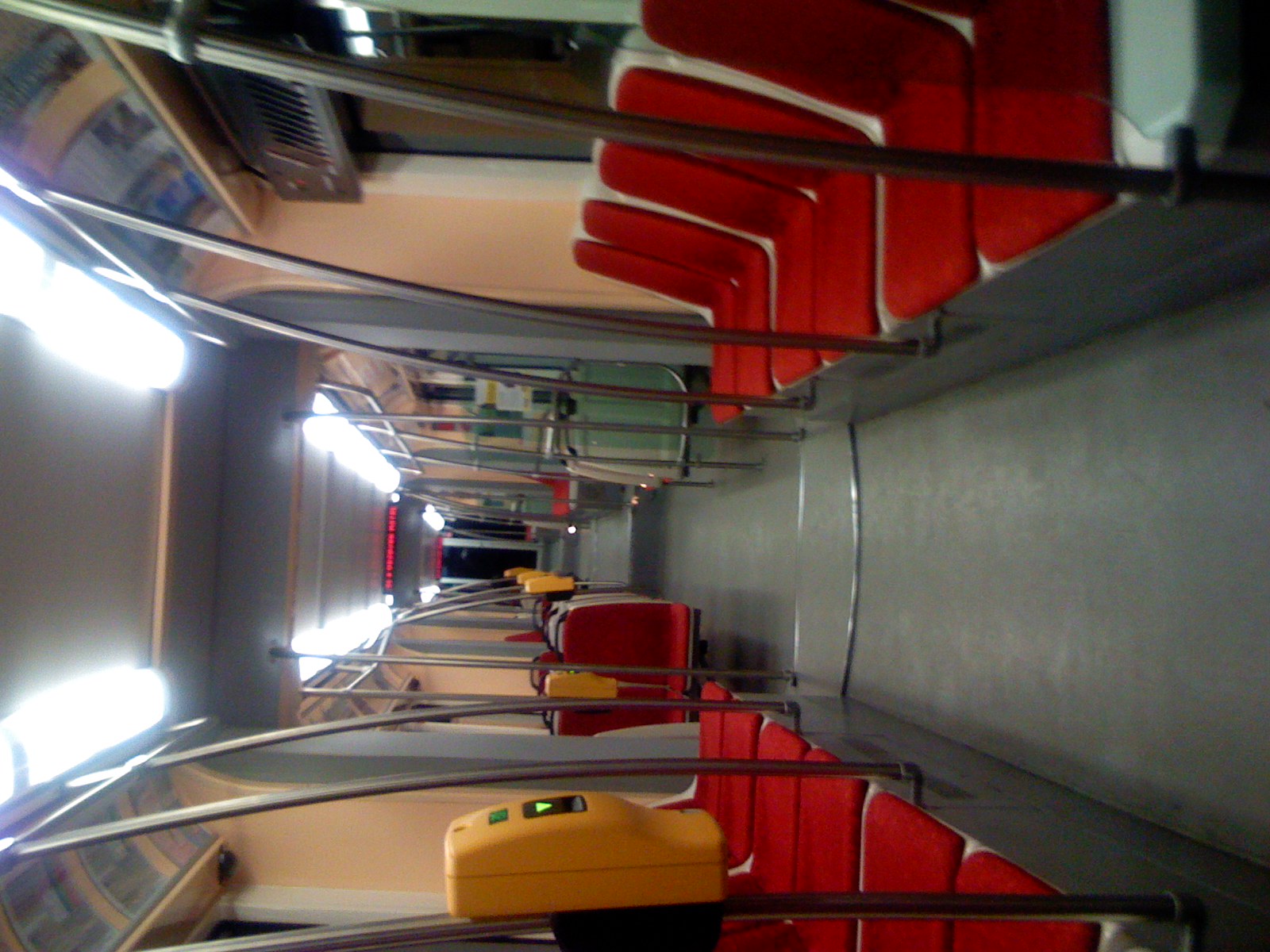
Prague new tram inside view
Such a fantastic day! Ready for the practice to start at 15:00! #waterskicamps2014
Czech Republic - Řečany nad Labem (Pardubický)
To sou panoramata
Stredoceska romantika. Ty tecky vzadu jsou kone
230.041-6 + 230.039-0
4121 -Old Soviet Base, Chotusice, Central Bohemian Region
I want to be bigger stronger 03
Dnes jsem dal 46km. Pohled pres rameno do udoli Svratky
STANDING OVATION to Maggie, Peter, Andrew, Martin, Sim, Matthew, Theresa and Katie! BIG THANKS to camp organisers: Peter, Hanka, Ivan! The above mentioned youngsters survived an English Friday along with the North-East-West (Straz, Prelouc, Pilsen) Spri
What a Glorious Day today! All glory to God! Privileged to teach German and English, Overjoyed to grab a set with @honza_slansky and @kac.ena in Melice behind a brand new MasterCraft and Blown Away BIG TIME from reading a letter my dad sent to Czech Water
Ráno v Přelouči
Bile Karpaty kousek od Luhacovic
Dnes jen 18 km do Pribyslavi, stehenni sval na leve noze zlobi
20120608 Tschechien Brücke 'Pardubice nach Kolin' Elbe Radweg (3)
take a seat, rotterdam 08
Louky nad Novym Mestem na Morave. Nadm.vyska je kolem 600m, takze to tu vypada jako na Sumave
Barva krasna, ale smrdi to jako syrecky

Přehrada Seč, výhled
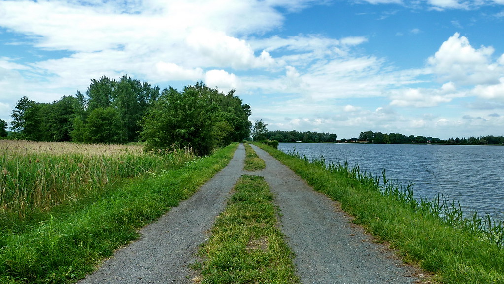
20120608 Tschechien Wege 'Pardubice nach Kolin' Elbe Radweg (2)
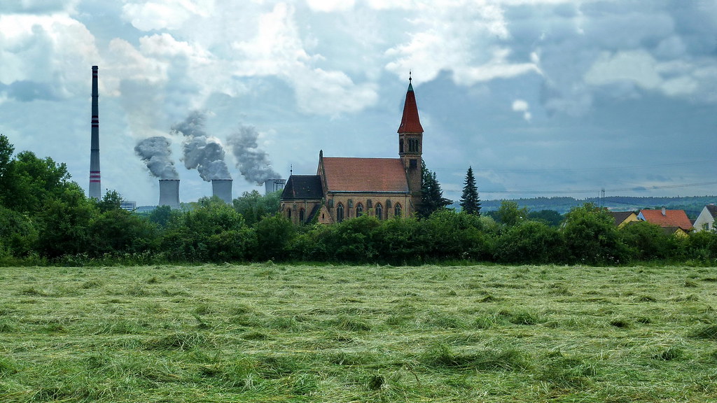
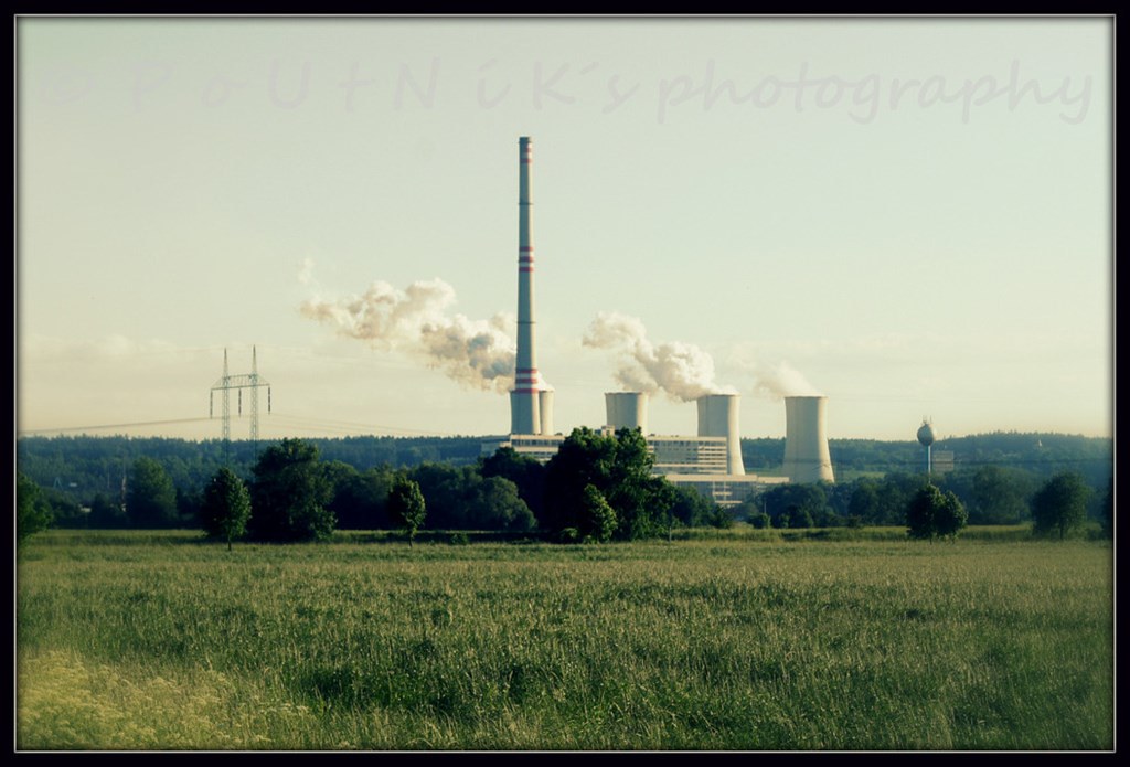
80 20120608 Tschechien Kirche Kraftwerk 'Pardubice nach Kolin' Elbe Radweg (2)
Topographic Map of Bílý Kámen, 03 Podhořany u Ronova, Czech Republic
Find elevation by address:

Places in Bílý Kámen, 03 Podhořany u Ronova, Czech Republic:
Places near Bílý Kámen, 03 Podhořany u Ronova, Czech Republic:
Bílý Kámen, 03 Podhořany u Ronova, Czech Republic
Podhořany U Ronova
Lány
Lány 52, 01 Lány, Czech Republic
Rosice
Gen. Svobody, Rosice, 51 Pardubice-Pardubice VII, Czech Republic
Pardubice Vii
Podhůra, Chrudim III, 21 Chrudim, Czech Republic
Jiřího Tomana, Polabiny, 09 Pardubice-Pardubice II, Czech Republic
Pardubice Ii
Polabiny
Chrudim
Chrudim Iii
Pardubice
Kyjevská 44
Kyjevská 44
Pardubičky
Pardubice Iv
Pardubice District
Recent Searches:
- Elevation of Corso Fratelli Cairoli, 35, Macerata MC, Italy
- Elevation of Tallevast Rd, Sarasota, FL, USA
- Elevation of 4th St E, Sonoma, CA, USA
- Elevation of Black Hollow Rd, Pennsdale, PA, USA
- Elevation of Oakland Ave, Williamsport, PA, USA
- Elevation of Pedrógão Grande, Portugal
- Elevation of Klee Dr, Martinsburg, WV, USA
- Elevation of Via Roma, Pieranica CR, Italy
- Elevation of Tavkvetili Mountain, Georgia
- Elevation of Hartfords Bluff Cir, Mt Pleasant, SC, USA