Elevation of Chrudim District, Czech Republic
Location: Czech Republic > Pardubice Region >
Longitude: 15.8290865
Latitude: 49.8830216
Elevation: 331m / 1086feet
Barometric Pressure: 97KPa
Elevation Map:
Satellite Map:
Related Photos:
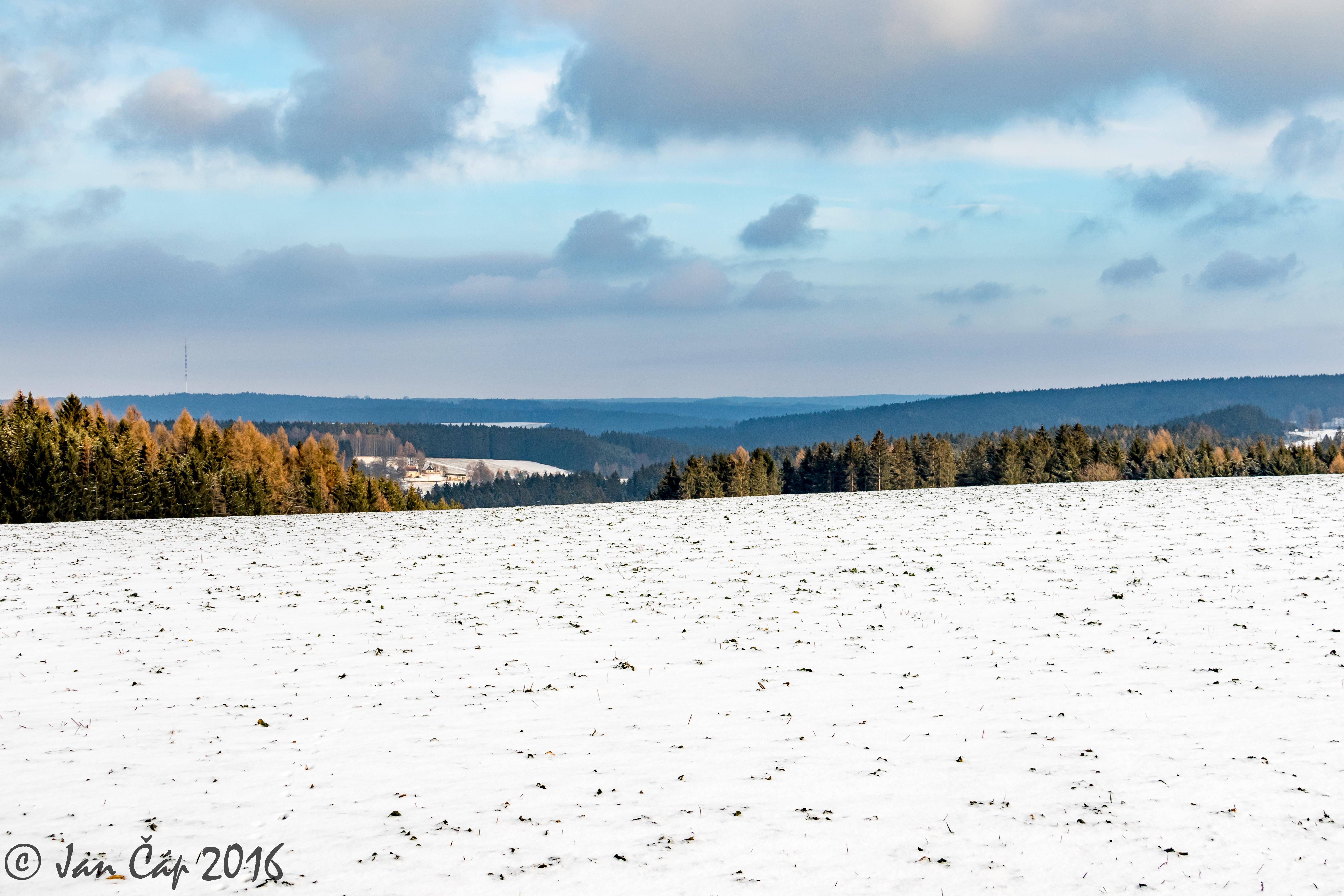
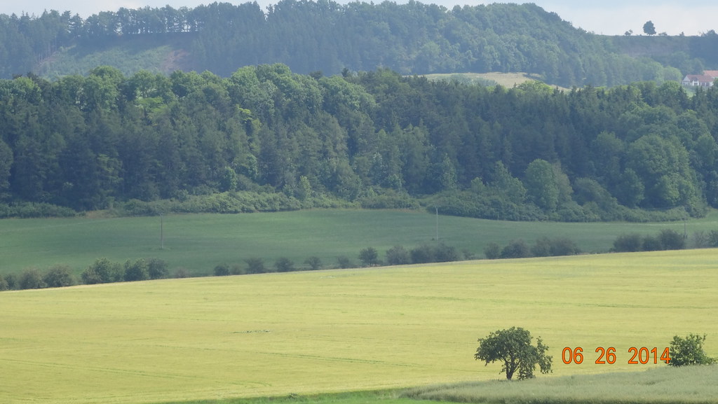
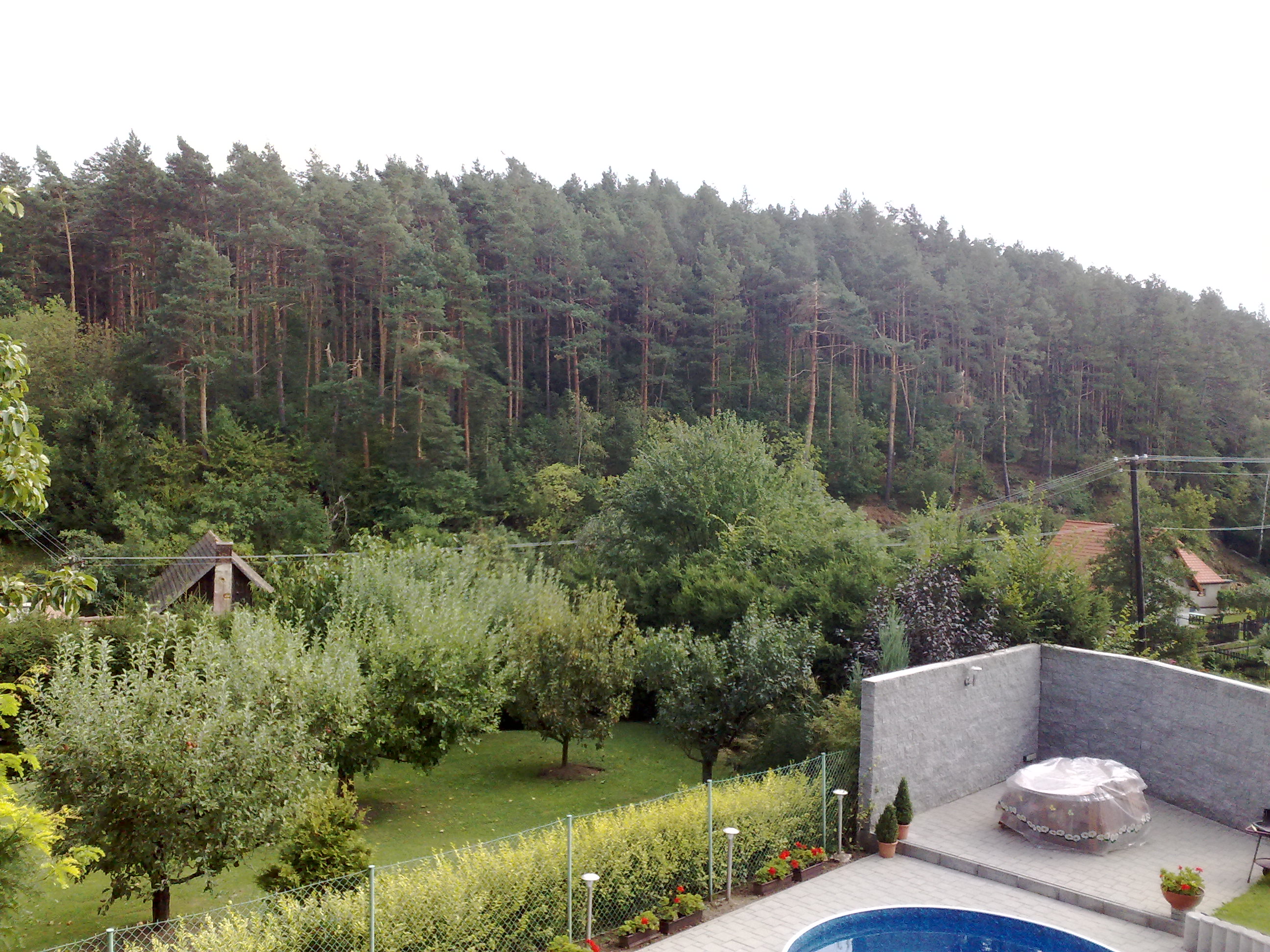
Zelezne hory
1481 -Holubník statečných žen králových 6.25.14

Homeland 2

Homeland 2

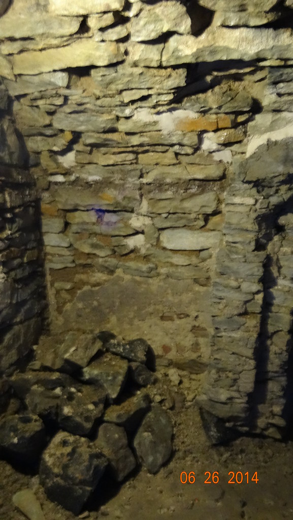
914.050-0
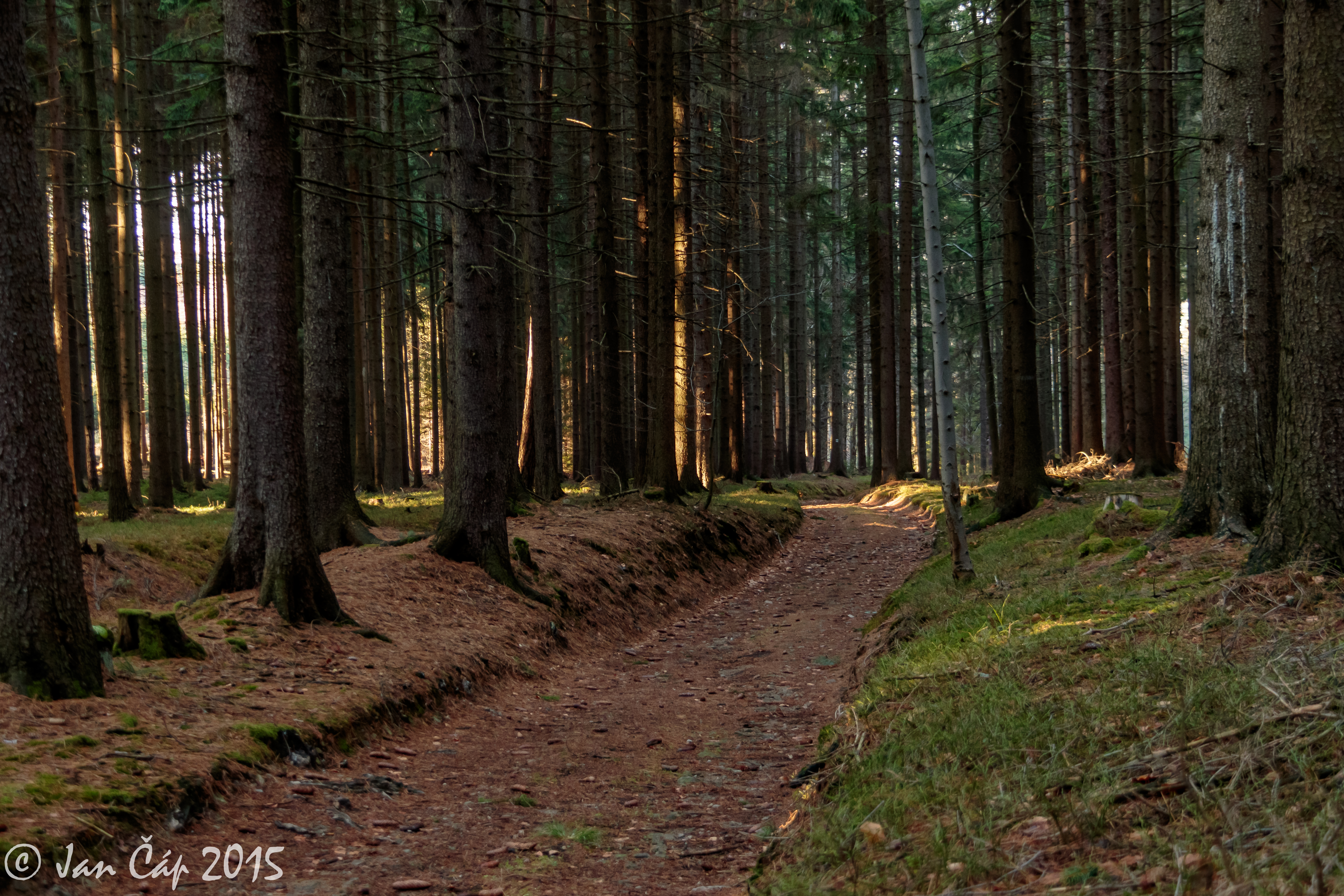
Forest road

All Photos-848
4061 -Hrad Košumberk
7440 -Hrad Košumberk
7460 -Hrad Košumberk
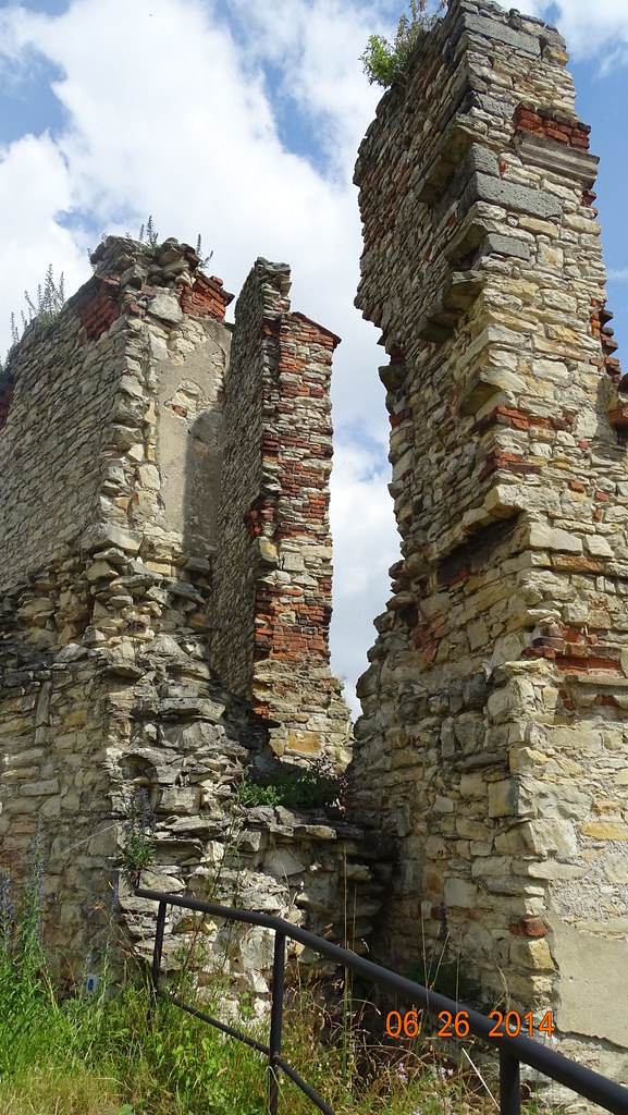
4068 -Hrad Košumberk

S Jardou
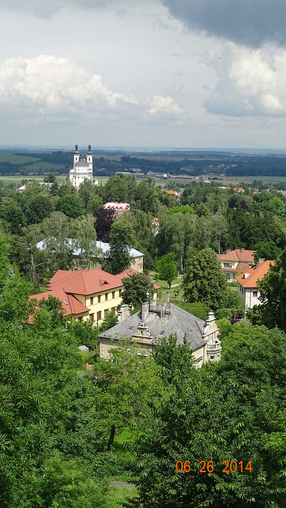
4073 -Hrad Košumberk

S Jardou
07.09.2008

Behind Window

S Jardou

Na mezi

S Jardou

S Jardou

S Jardou

S Jardou

I want to be bigger stronger 03
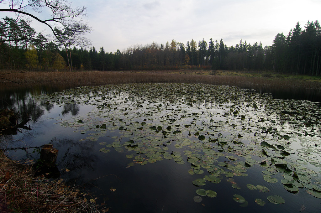
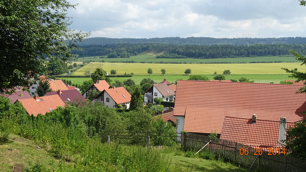
Late autumn in Slavická obora
Topographic Map of Chrudim District, Czech Republic
Find elevation by address:

Places in Chrudim District, Czech Republic:
Chroustovice
Běstvina
Lány
Skuteč
Chrudim
Svratouch
Krouna
Podhořany U Ronova
Zaječice
Slatiňany
Nasavrky
Chrast
Places near Chrudim District, Czech Republic:
Slatiňany
Schmoranzova 21, 21 Slatiňany, Czech Republic
Nasavrky
Podhůra, Chrudim III, 21 Chrudim, Czech Republic
Zaječice
Zaječice 44, 35 Zaječice, Czech Republic
Chrudim Iii
Chrudim
Chrast
Lány 52, 01 Lány, Czech Republic
Lány
Hlinsko
Pardubičky
Pardubice Iv
Cítkov
Cítkov 7, 03 Vápenný Podol, Czech Republic
Kyjevská 44
Kyjevská 44
Blatno 82, 01 Hlinsko, Czech Republic
Blatno
Recent Searches:
- Elevation of Corso Fratelli Cairoli, 35, Macerata MC, Italy
- Elevation of Tallevast Rd, Sarasota, FL, USA
- Elevation of 4th St E, Sonoma, CA, USA
- Elevation of Black Hollow Rd, Pennsdale, PA, USA
- Elevation of Oakland Ave, Williamsport, PA, USA
- Elevation of Pedrógão Grande, Portugal
- Elevation of Klee Dr, Martinsburg, WV, USA
- Elevation of Via Roma, Pieranica CR, Italy
- Elevation of Tavkvetili Mountain, Georgia
- Elevation of Hartfords Bluff Cir, Mt Pleasant, SC, USA