Elevation of Azen Rd, Damascus, VA, USA
Location: United States > Virginia > Washington County > Taylor > Damascus >
Longitude: -81.638437
Latitude: 36.665634
Elevation: 893m / 2930feet
Barometric Pressure: 91KPa
Elevation Map:
Satellite Map:
Related Photos:
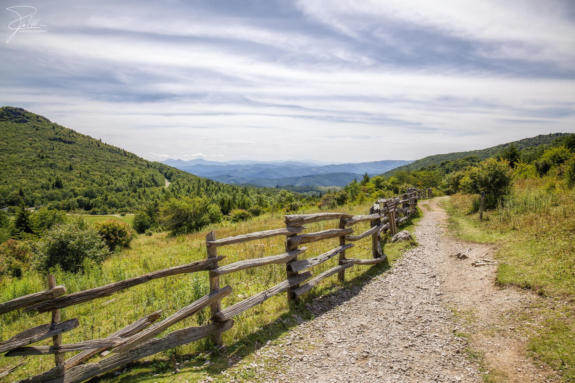
Morning on Wilburn Ridge
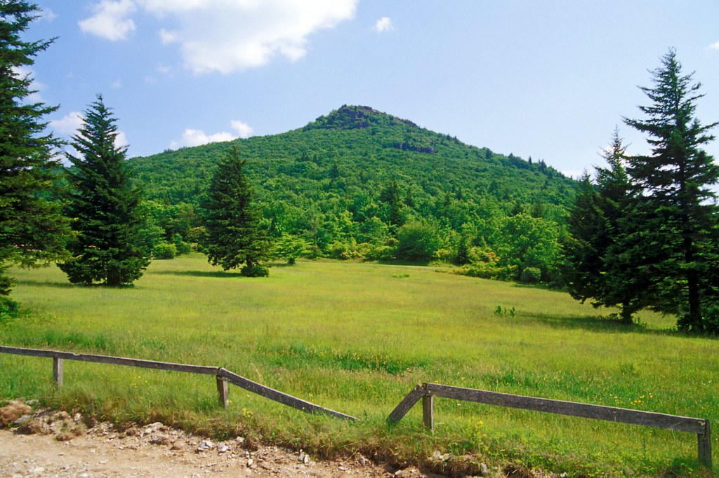
Grayson Highlands

Grayson Highlands Sunset
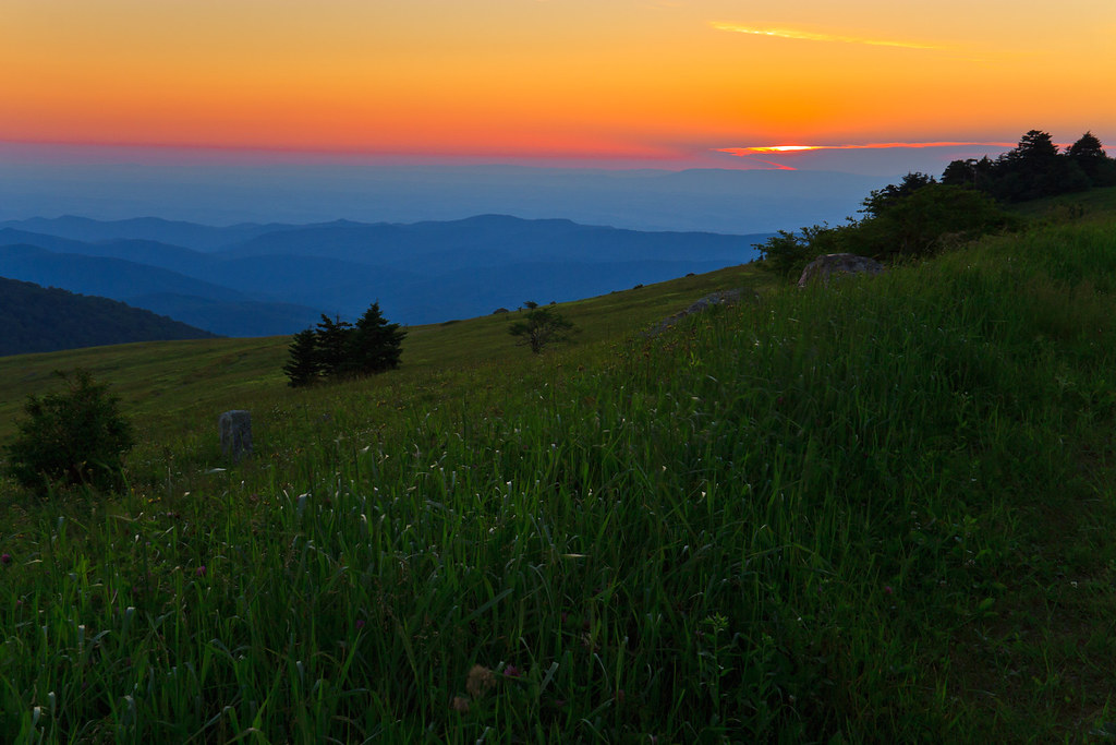
Sunset on White Top
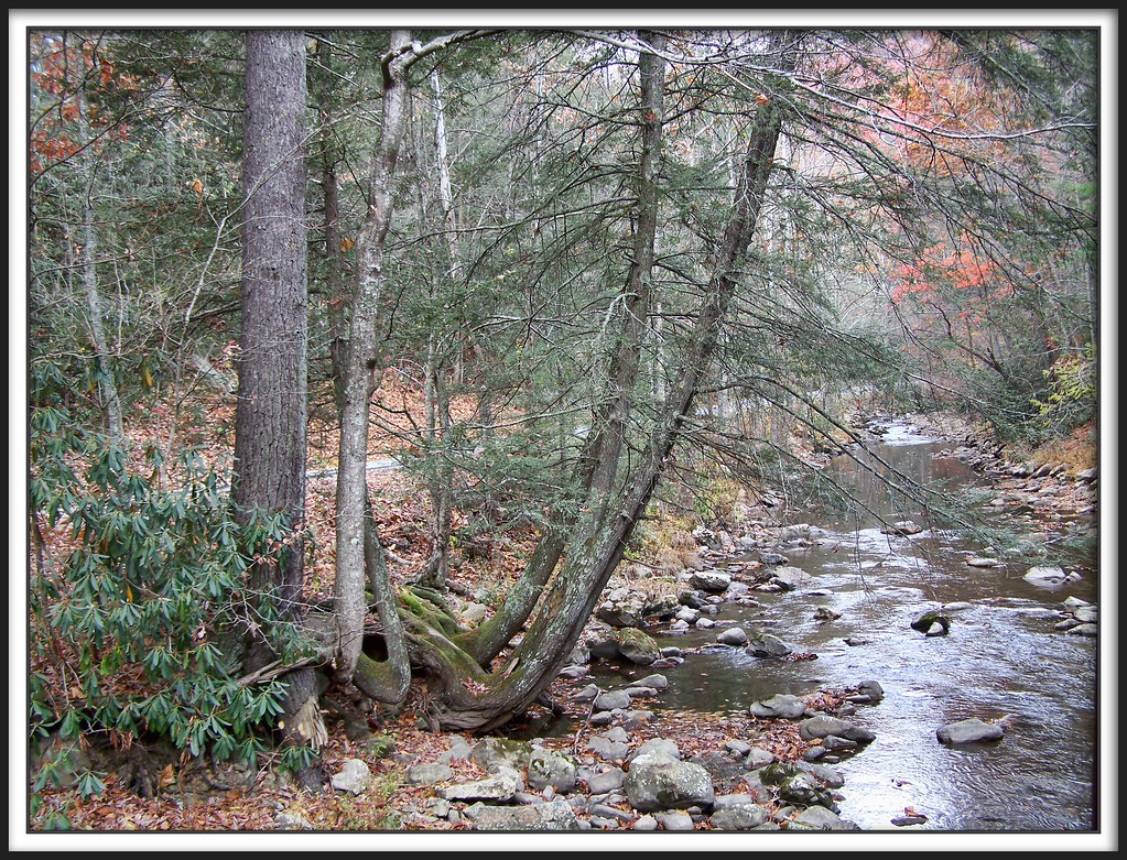
Whitetop Laurel Creek
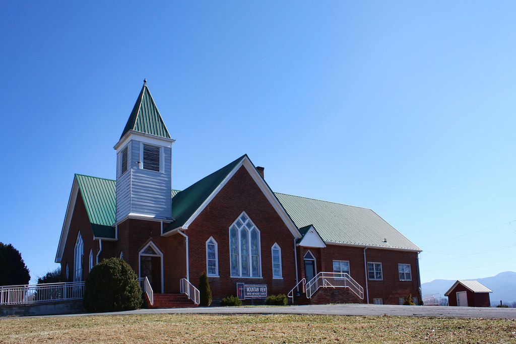
Mountain View United Methodist Church

Mobile Home
Whenlin Ridge

View From Whitetop Summit I - Mt. Rogers, NRA, Whitetop, VA

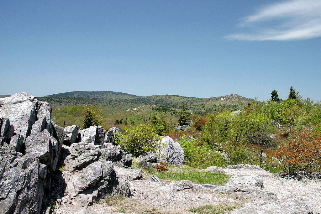
Wilburn Ridge Trail
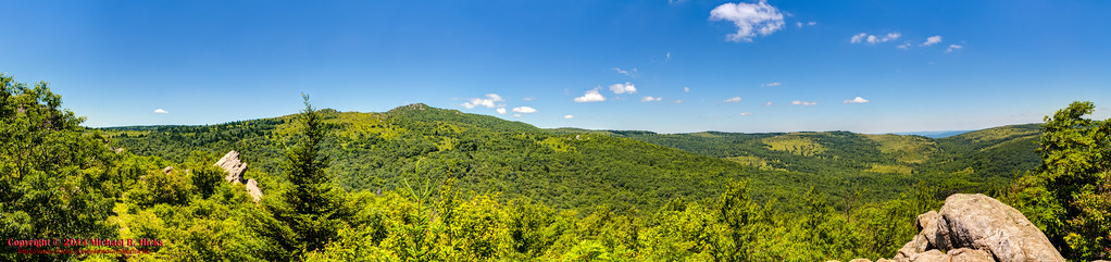
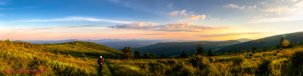
Wilburn Ridge Pano

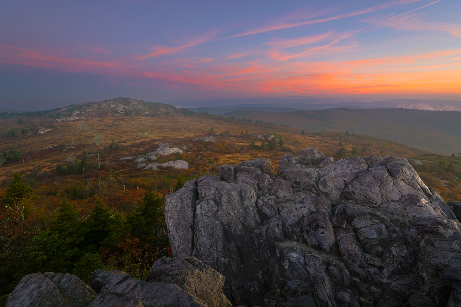
Wilburn Ridge Sunrise

Sunset on White Top

Nuclear Blast

Appalachian Yorkie
Morning in the Grayson Highlands
Mt Rogers Backpack - Another view on the AT - July 5, 2014

3D Grayson Highlands Park
View from The Scales
Big Pinnacle

IMG_5371.jpg

Downhill Slide
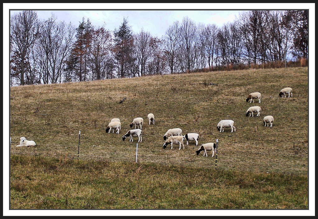
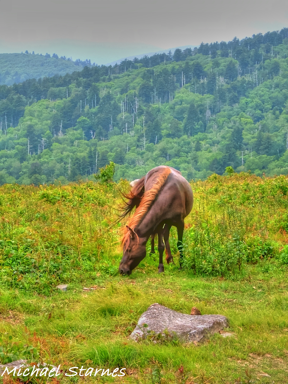
The Herder

Virginia Creeper Trail Crossing 21
Grayson Highlands

Wilburn Ridge Sunset
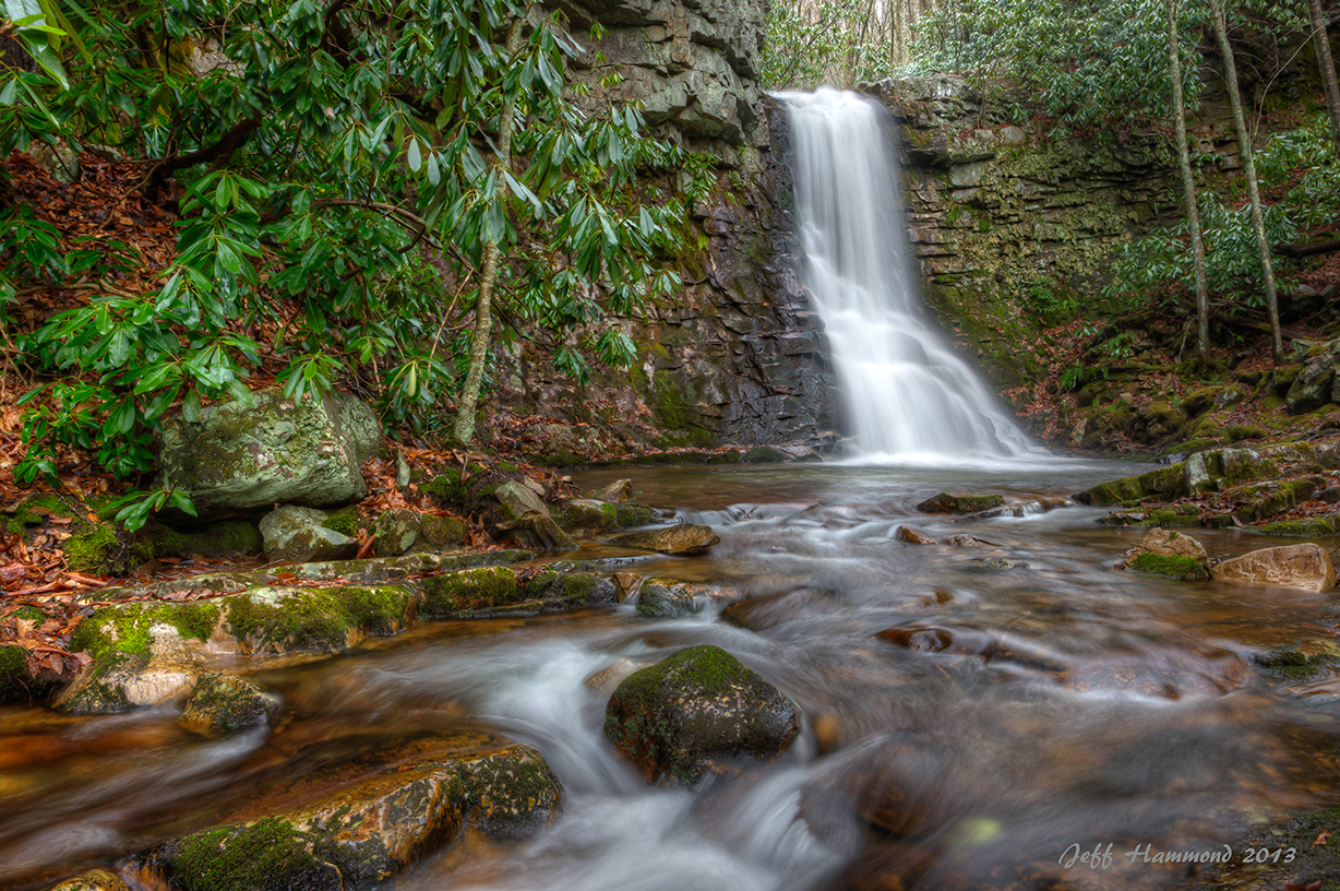
Upper Gentry Creek Falls HDR
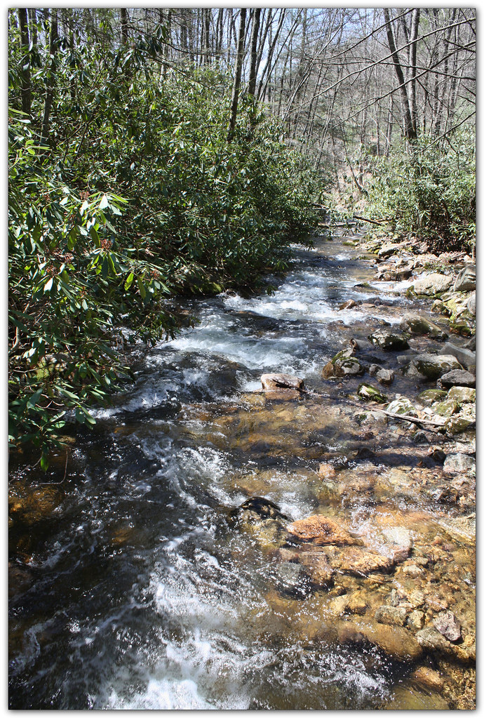
Whitetop Laurel Creek
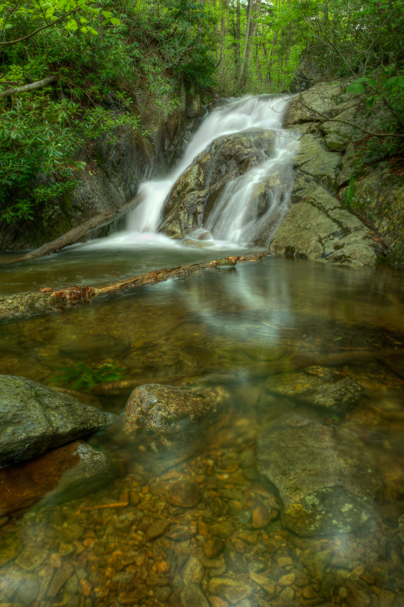
Upper Cabin Creek Falls

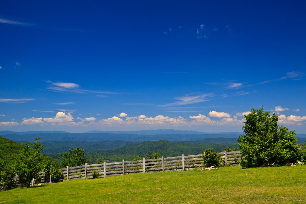
Sugarland Overlook - Grayson Highlands State Park

Virginia Creeper Trail 2014
Mt Rogers Backpack - On the AT - Golden Hour at Thomas Knob - July 5, 2014

Wilburn Ridge Sunset
Mount Rogers
Topographic Map of Azen Rd, Damascus, VA, USA
Find elevation by address:

Places near Azen Rd, Damascus, VA, USA:
Konnarock
Konnarock
41288 Rhymer Rd
41305 Rhymer Rd
41279 Rhymer Rd
20907 Azen Rd
41255 Rhymer Rd
21039 Azen Rd
Rhymer Road
513 Beadwood Ln
Big Hill
6408 Whitetop Rd
6482 Whitetop Rd
6897 Crabapple Ln
6852 Whitetop Rd
Creek Junction Trailhead Of Virginia Creeper National Recreation Trail
Whitetop Mountain
41496 Waters Rd
17514 Burnt Cabin Trail
Wilburn Road
Recent Searches:
- Elevation of Corso Fratelli Cairoli, 35, Macerata MC, Italy
- Elevation of Tallevast Rd, Sarasota, FL, USA
- Elevation of 4th St E, Sonoma, CA, USA
- Elevation of Black Hollow Rd, Pennsdale, PA, USA
- Elevation of Oakland Ave, Williamsport, PA, USA
- Elevation of Pedrógão Grande, Portugal
- Elevation of Klee Dr, Martinsburg, WV, USA
- Elevation of Via Roma, Pieranica CR, Italy
- Elevation of Tavkvetili Mountain, Georgia
- Elevation of Hartfords Bluff Cir, Mt Pleasant, SC, USA