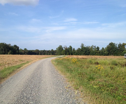
Elevation of Ayletts Mill Dr, King William, VA, USA

Location: United States > Virginia > King William County > Acquinton > King William >

Longitude: -77.090732

Latitude: 37.761193

Elevation: 6m / 20feet

Barometric Pressure: 101KPa

Elevation Map:

elevation map of Ayletts Mill Dr, King William, VA, USA

Satellite Map:

Satellite map of Ayletts Mill Dr, King William, VA, USA

Related Photos:

virginia cia richmond lincoln pocahontas yeshua rva littleriver unitedstatesmarinecorps libbyhillpark captainjohnsmith matoaka henricus riobeaches toplesswomen stonebrewingcompany christiansinaction indianfields mattaponiriver pamunkey southannariver pamunkeyriver americanindianhistory bermudahundred sirthomasdale powhatanindians schoolofthemusketeer libbyterracepark kingwilliamcountyvirginia northannariver libbyhillterrace opechancanough wahunsenacah wahunsunacock chickahominyindians wahunsenacockpowhatanwerowance libbyhillterracepark hanovertownvirginia chimborazohillpark blueskyofvirginiahanggliderflightpark ltcolgeorgegoodsonusmcret tikvatisraelrichmondvirginia laketecumsehhangglideswimyachtclub youtubenudebeach
WASHASATIAK, THE OLD CHIEF'S LAST STOP: THREESCORE MILES, JAMESTOWN FORT TO MATCHUT
party festival virginia unitedstates richmond celebration firepit doswell larger woodbridge aylett
Party View
party festival virginia unitedstates richmond celebration firepit doswell larger woodbridge aylett
Crowd View
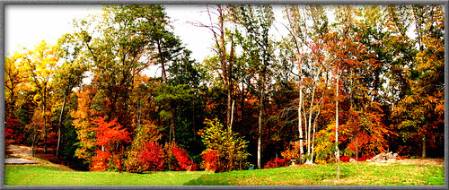
autumn color canonautumn autumnatmyhome
TREES IN AUTUMN IN ALL THEIR COLOR
2016 09 24 Whitehall Longhouse
clouds barn rural photography twilight nikon photos farm country 1eyephotography
All Is Safe
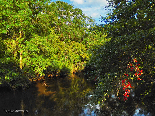
mattaponiriver river kingandqueencounty virginia waterway landscape
Mattaponi River
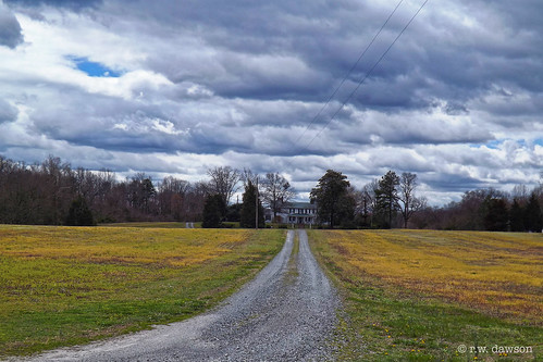
kingandqueencounty virginia varural farm house home driveway
The Long Drive to the Farm House
mattaponiriver kingandqueencounty virginia river waterway water landscape
Mattaponi River
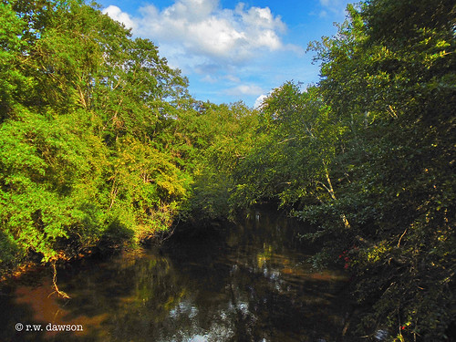
blue summer sky panorama river virginia va mattaponi aylett
Mattaponi River - Aylett, King William County, VA.
mattaponiriver kingandqueencounty virginia river waterway water landscape
Mattaponi River
beautiful barn landscape virginia va kingwilliamcounty
Priestley Farm, King William County, VA.
uploaded:by=flickrmobile flickriosapp:filter=nofilter
Children of the winter wheat
dailyphoto northernneck spring landscape northernneckvirginia sunsets virginianorthernneck virginia sunset hanovercounty d7000 pauldiming hanover hanovercountyvirginia mechanicsville unitedstates us
Virginia Sunset - Hanover County, VA
park blue panorama beautiful landscape virginia forrest historic va kingwilliamcounty aylett
Zoar State Forrest, Aylett, Va.
uploaded:by=flickrmobile flickriosapp:filter=nofilter
Duck Pond Road...another week gone...as is the corn...
another week passes...Duck Pond Road...
tree mill water creek pond
Mounquin Creek
Spillway in Walkerton Va.
trees sky sun clouds landscape backyard rays
My Backyard
blue sky tree clouds landscape
My Backyard
pink flowers summer white plant flower green nature grass leaves fauna garden landscape botanical outside climb spring bush vines flora purple blossom landscaping bricks clematis trellis foliage bloom greenery horticulture ranunculaceae lattice shrubbery perennial leaflets clematismontana floura shrubby
Purple Clematis
sky reflection tree mill water grass creek pond millpond
Mounquin Creek
Spillway in Walkerton Va.
This storm is doing more than just threatening...