Elevation of Aylett, VA, USA
Location: United States > Virginia > King William County > Acquinton >
Longitude: -77.105652
Latitude: 37.7851462
Elevation: 14m / 46feet
Barometric Pressure: 101KPa
Elevation Map:
Satellite Map:
Related Photos:
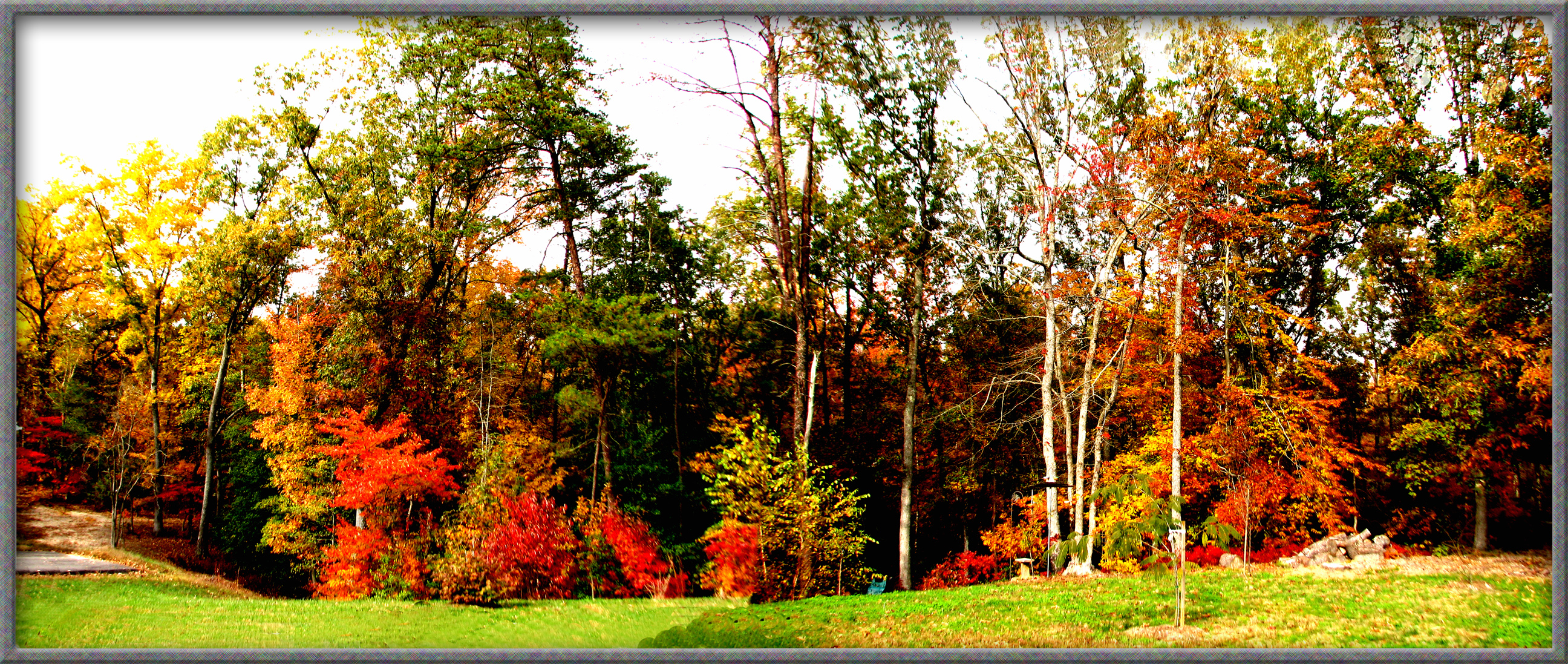
TREES IN AUTUMN IN ALL THEIR COLOR

WASHASATIAK, THE OLD CHIEF'S LAST STOP: THREESCORE MILES, JAMESTOWN FORT TO MATCHUT

Party View

Crowd View
All Is Safe

Zoar State Forrest, Aylett, Va.

Mattaponi River - Aylett, King William County, VA.

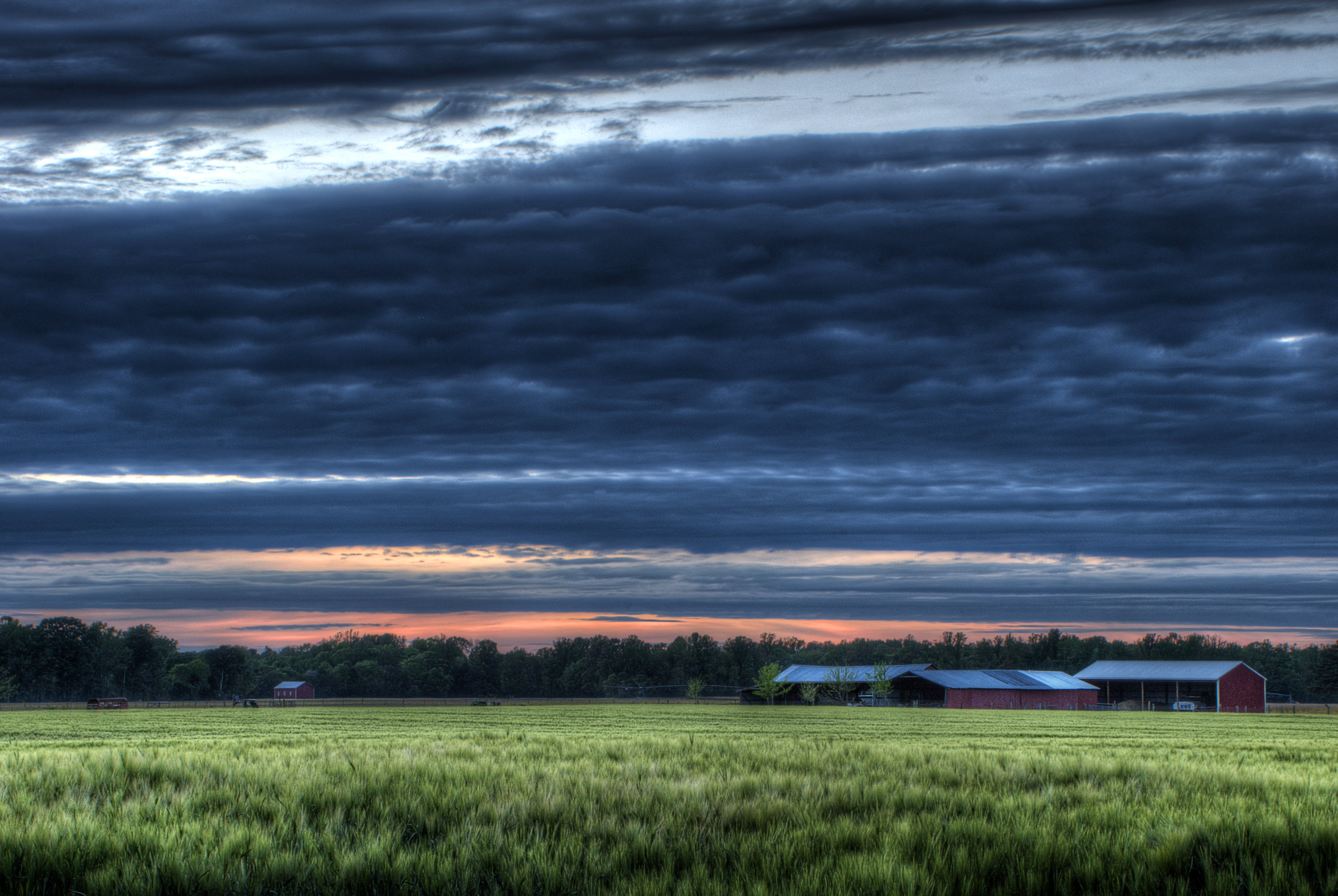
Virginia Sunset - Hanover County, VA

Children of the winter wheat
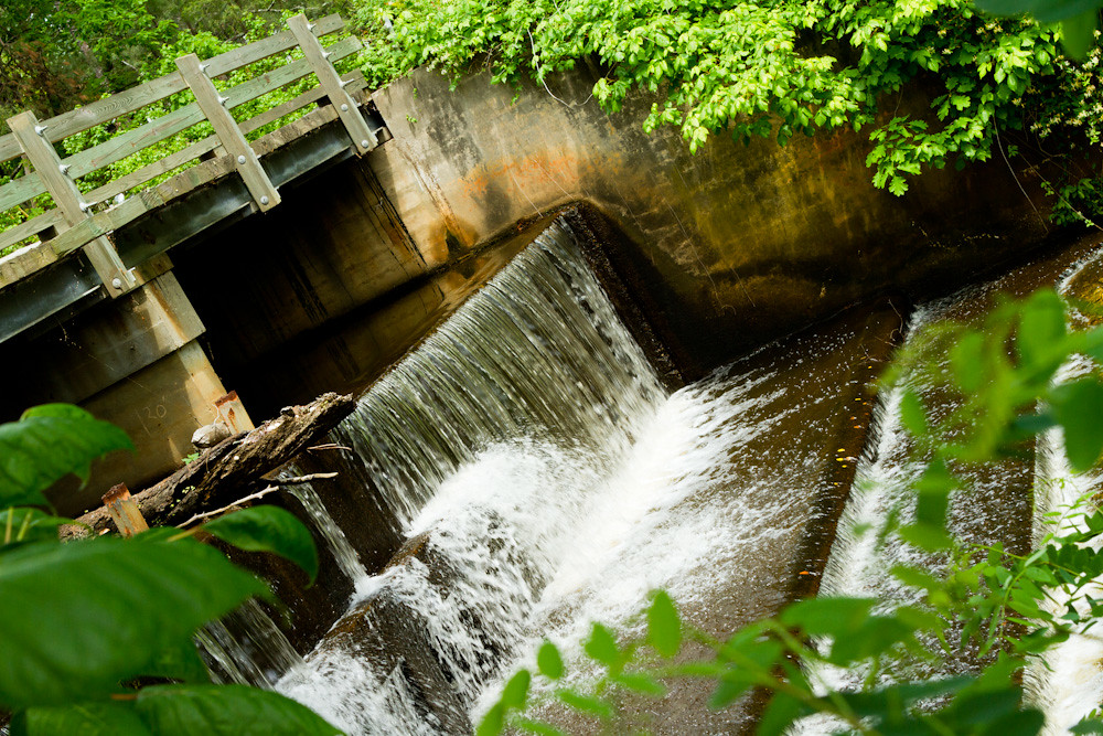
Spillway in Walkerton Va.
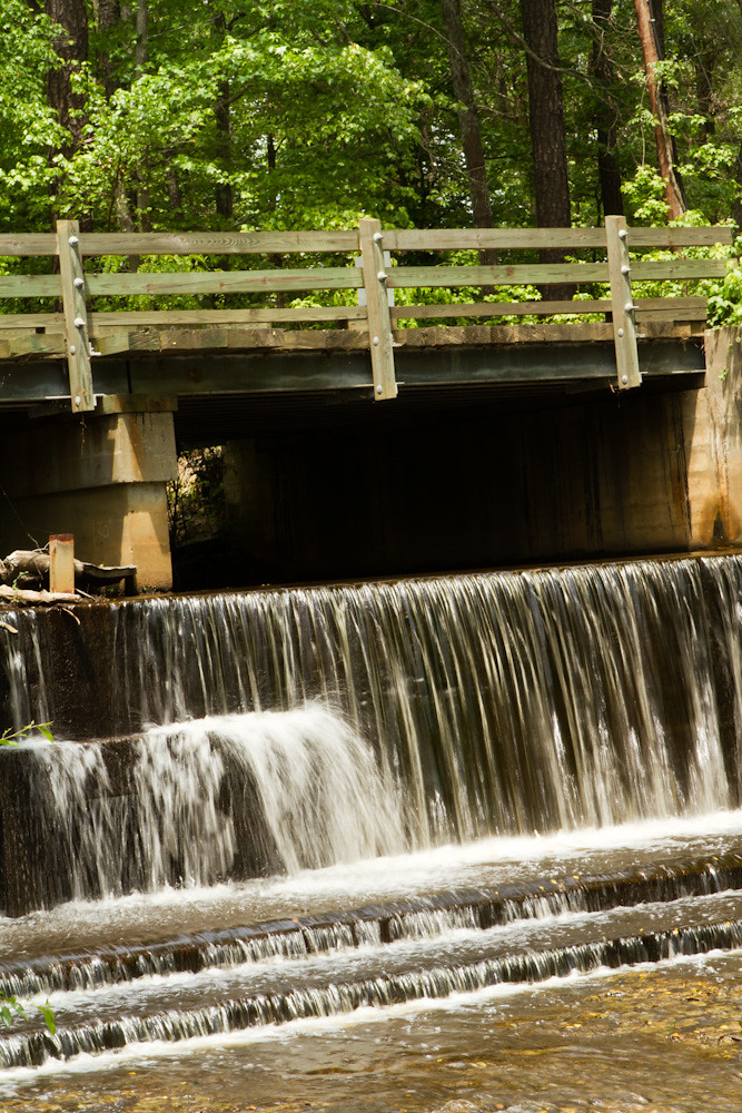
Spillway in Walkerton Va.
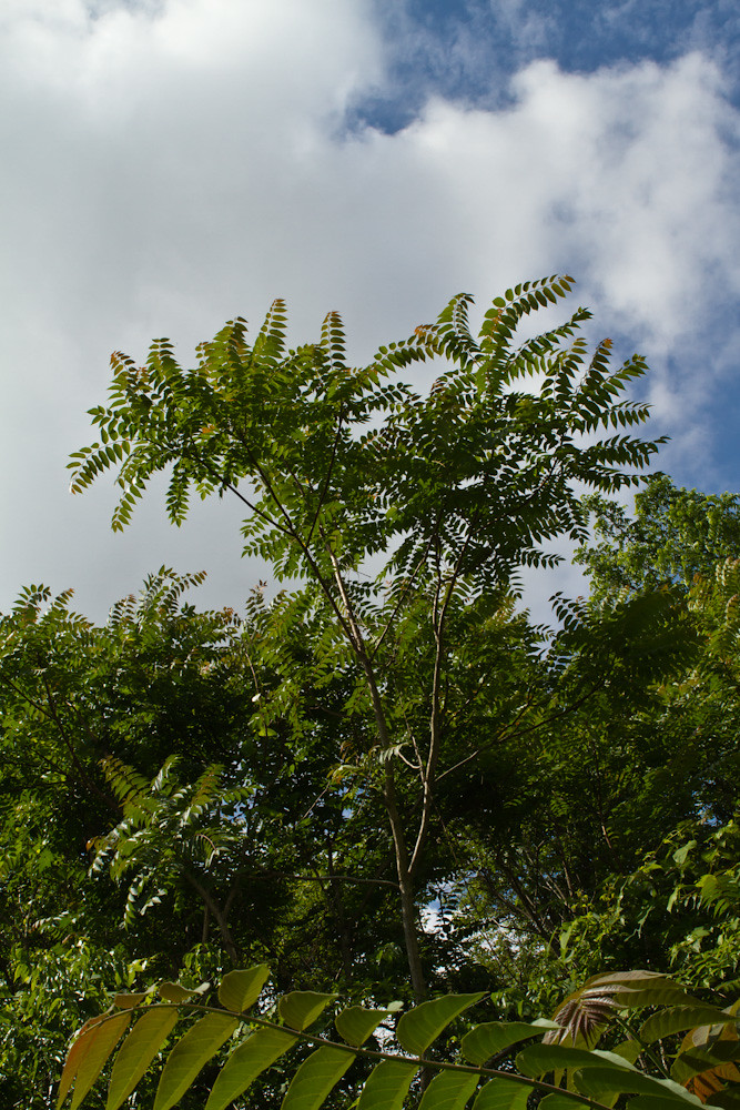
My Backyard
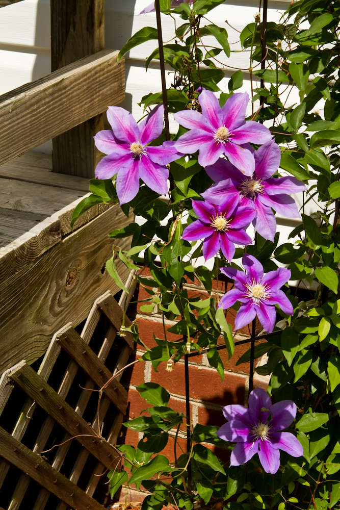
Purple Clematis
My Backyard
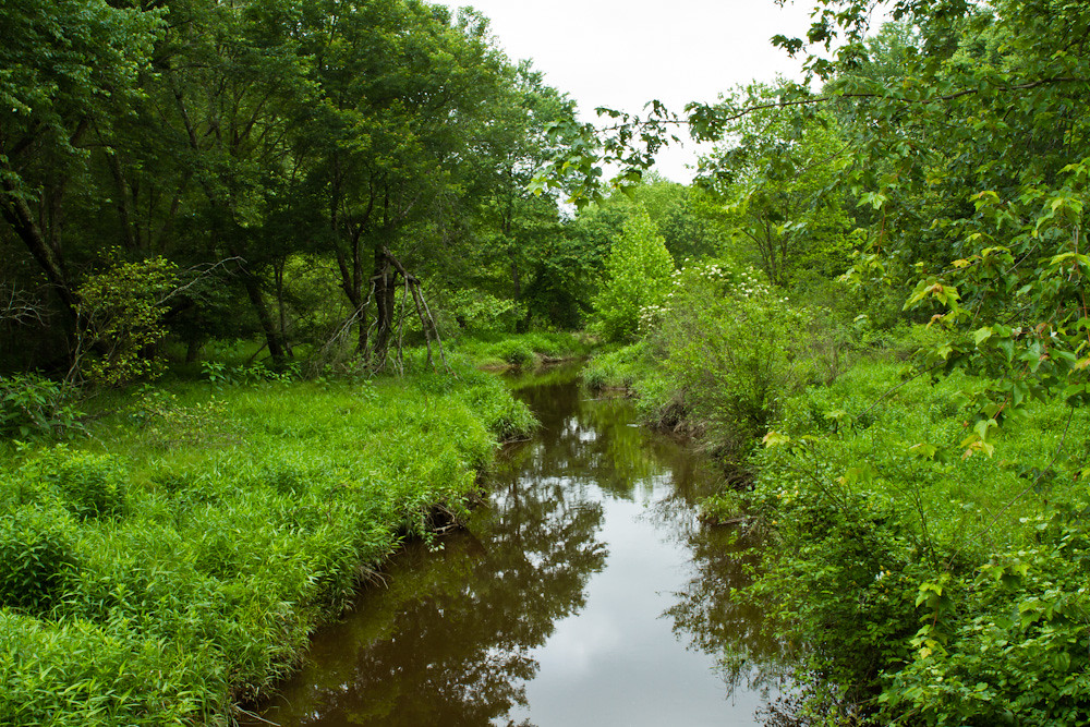
Mounquin Creek
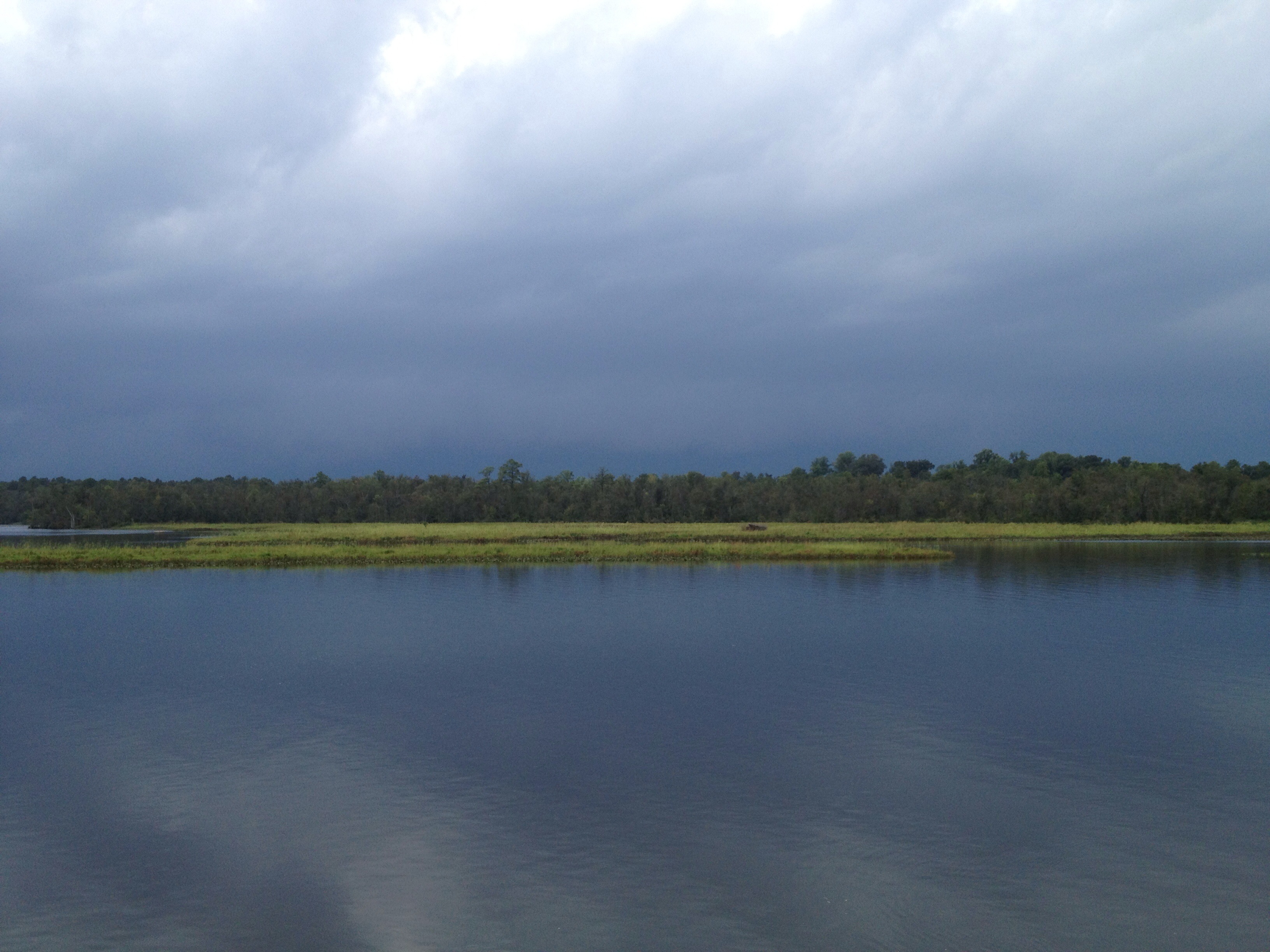
This storm is doing more than just threatening...

Mounquin Creek
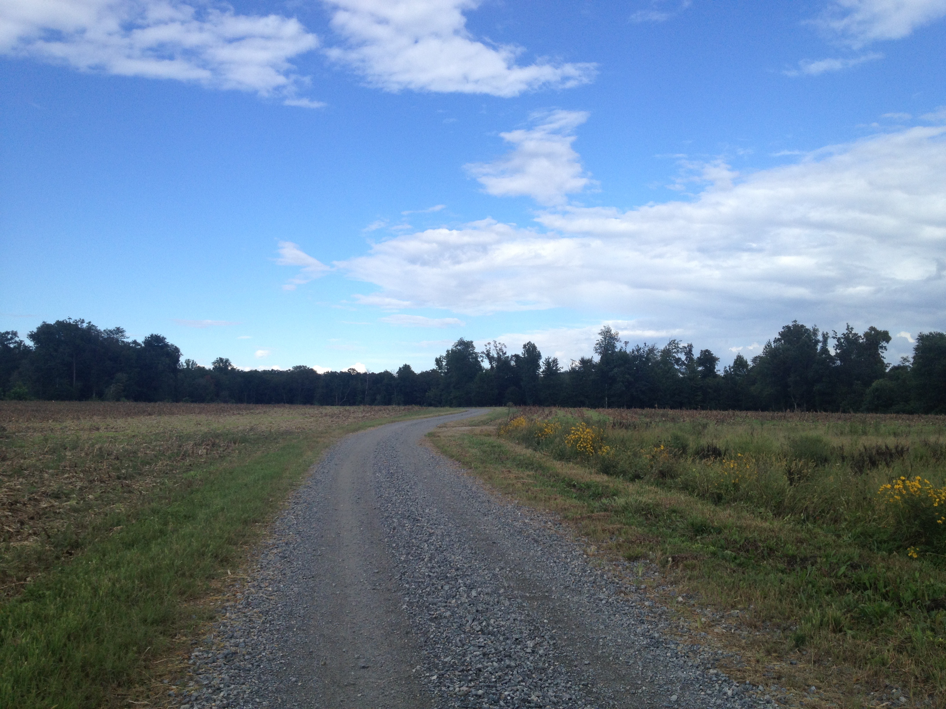
another week passes...Duck Pond Road...
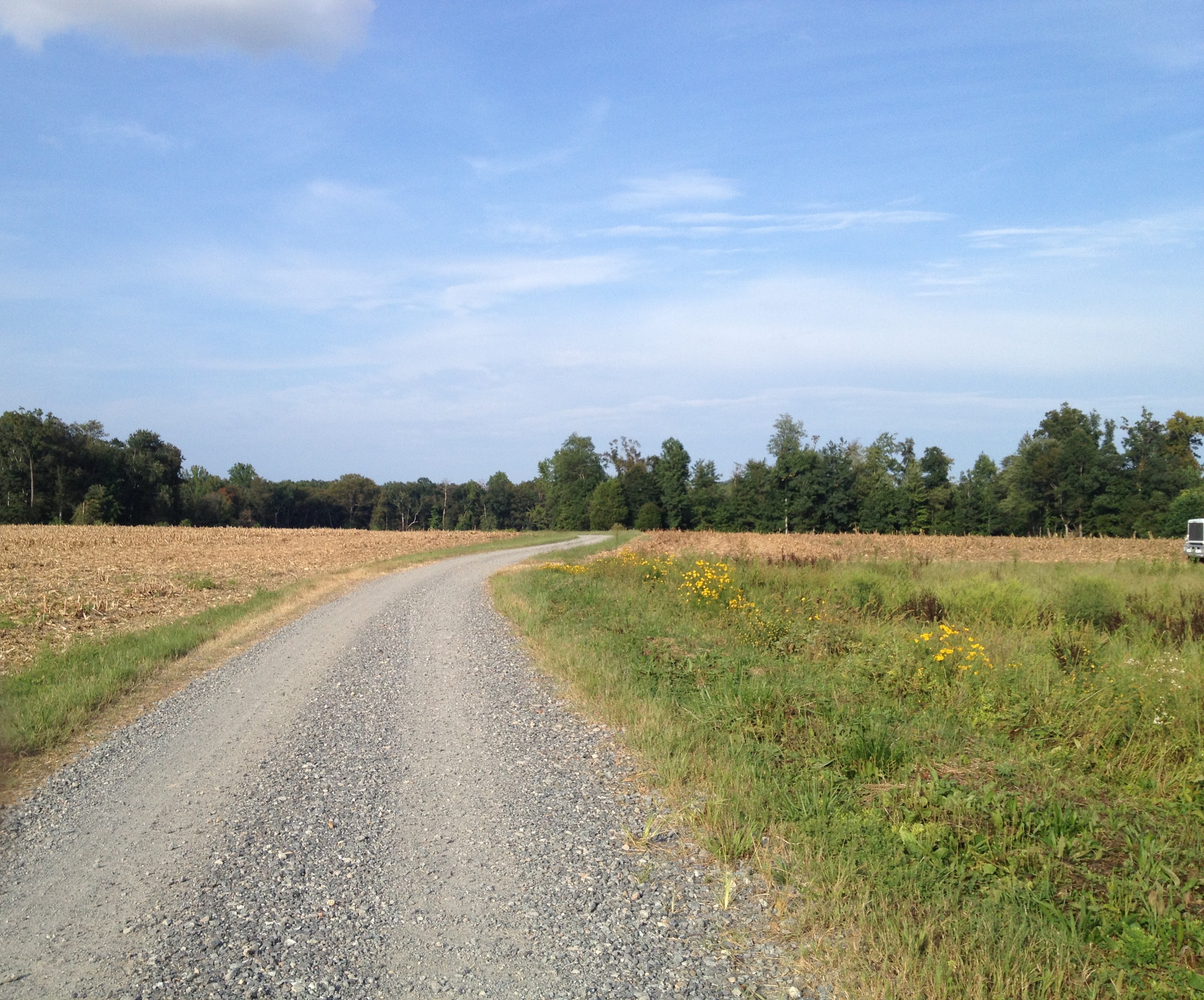
Duck Pond Road...another week gone...as is the corn...

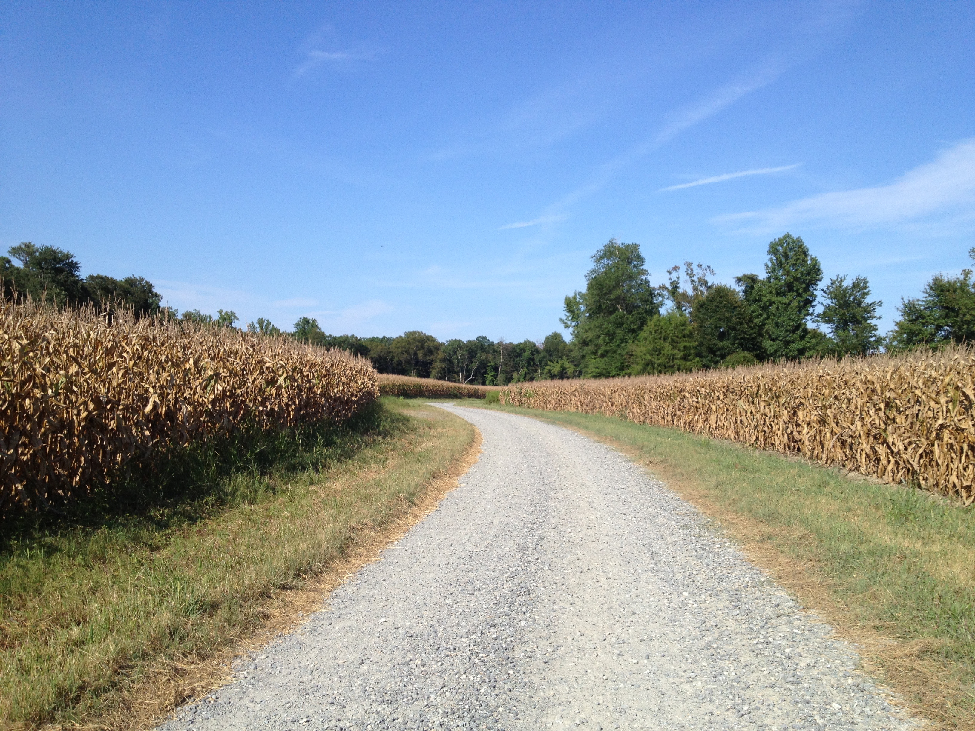
Duck Pond Road a week later...they are picking the corn..,
Duck Pond Road...pre happy hour ride...
Topographic Map of Aylett, VA, USA
Find elevation by address:

Places in Aylett, VA, USA:
Places near Aylett, VA, USA:
44 Popular Landing Rd, Aylett, VA, USA
107 Ayletts Mill Dr
762 Rosebud Run
Venter Rd, Aylett, VA, USA
King William County
Acquinton
North Point Farm Rd, King William, VA, USA
1241 Manfield Rd
Manquin
Richmond Tappahannock Hwy, Manquin, VA, USA
Pampatike Rd, King William, VA, USA
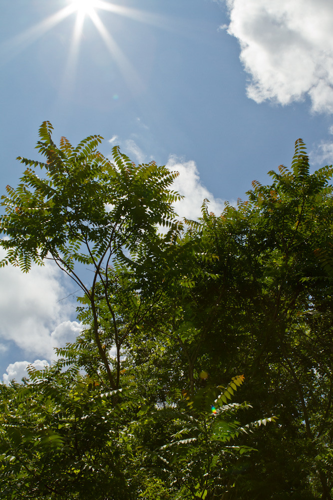
Blue Sky
Pamunkey River Bridge
Hollyfield Lane
Courthouse Road
Pamunkey Crest Dr, Mechanicsville, VA, USA
King William
Horse Landing Rd, King William, VA, USA
71 Etna Mills Rd, Manquin, VA, USA
Old Church Rd, Mechanicsville, VA, USA
Recent Searches:
- Elevation of Corso Fratelli Cairoli, 35, Macerata MC, Italy
- Elevation of Tallevast Rd, Sarasota, FL, USA
- Elevation of 4th St E, Sonoma, CA, USA
- Elevation of Black Hollow Rd, Pennsdale, PA, USA
- Elevation of Oakland Ave, Williamsport, PA, USA
- Elevation of Pedrógão Grande, Portugal
- Elevation of Klee Dr, Martinsburg, WV, USA
- Elevation of Via Roma, Pieranica CR, Italy
- Elevation of Tavkvetili Mountain, Georgia
- Elevation of Hartfords Bluff Cir, Mt Pleasant, SC, USA