Elevation of Ayagoz, Kazakhstan
Location: Kazakhstan >
Longitude: 80.432736
Latitude: 47.9755808
Elevation: 669m / 2195feet
Barometric Pressure: 94KPa
Elevation Map:
Satellite Map:
Related Photos:

Kazakshtan Railways: Ayagoz depot

Abandoned GAZ trucks
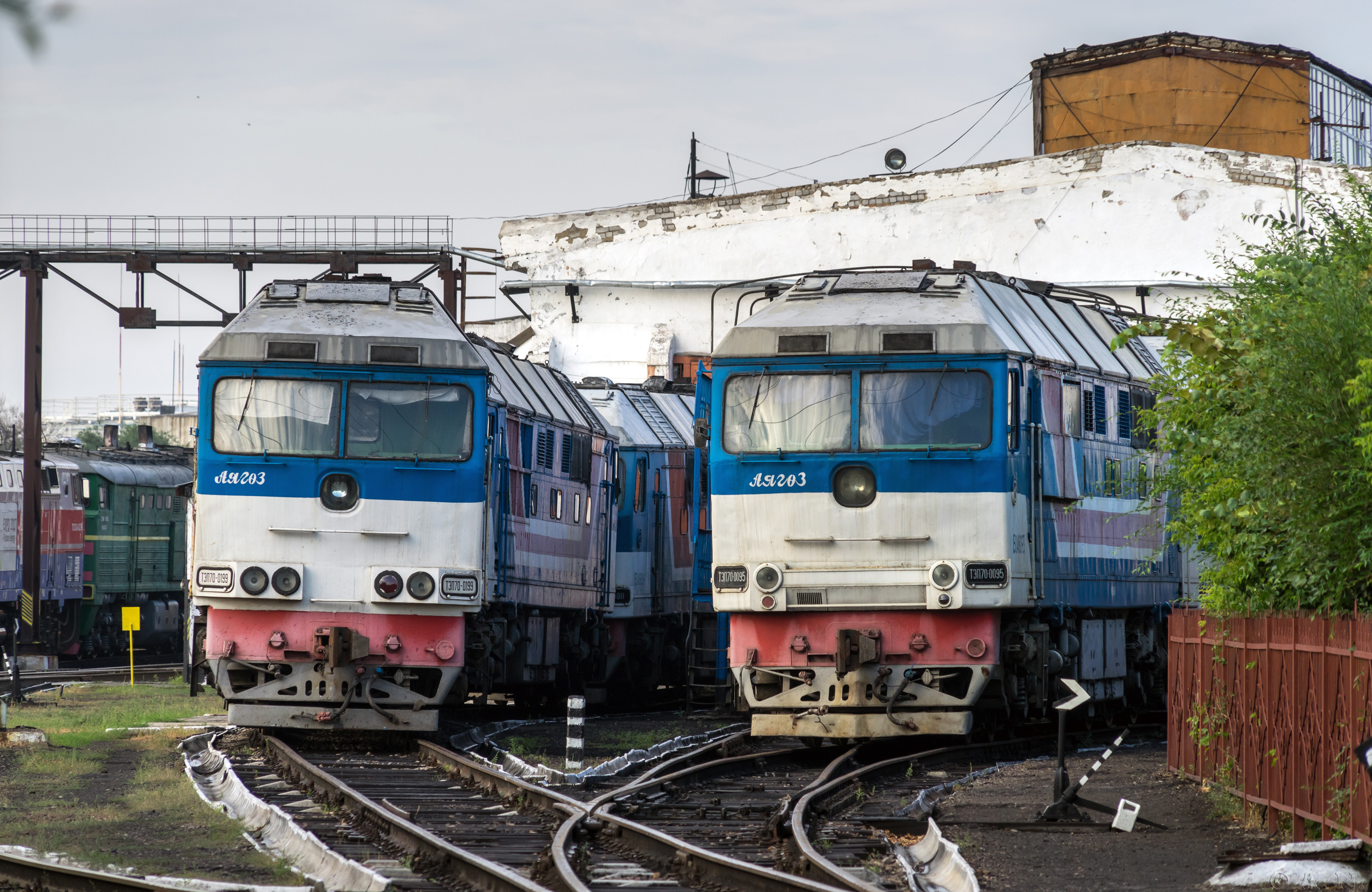
Kazakshtan Railways: TEP70 passenger diesels
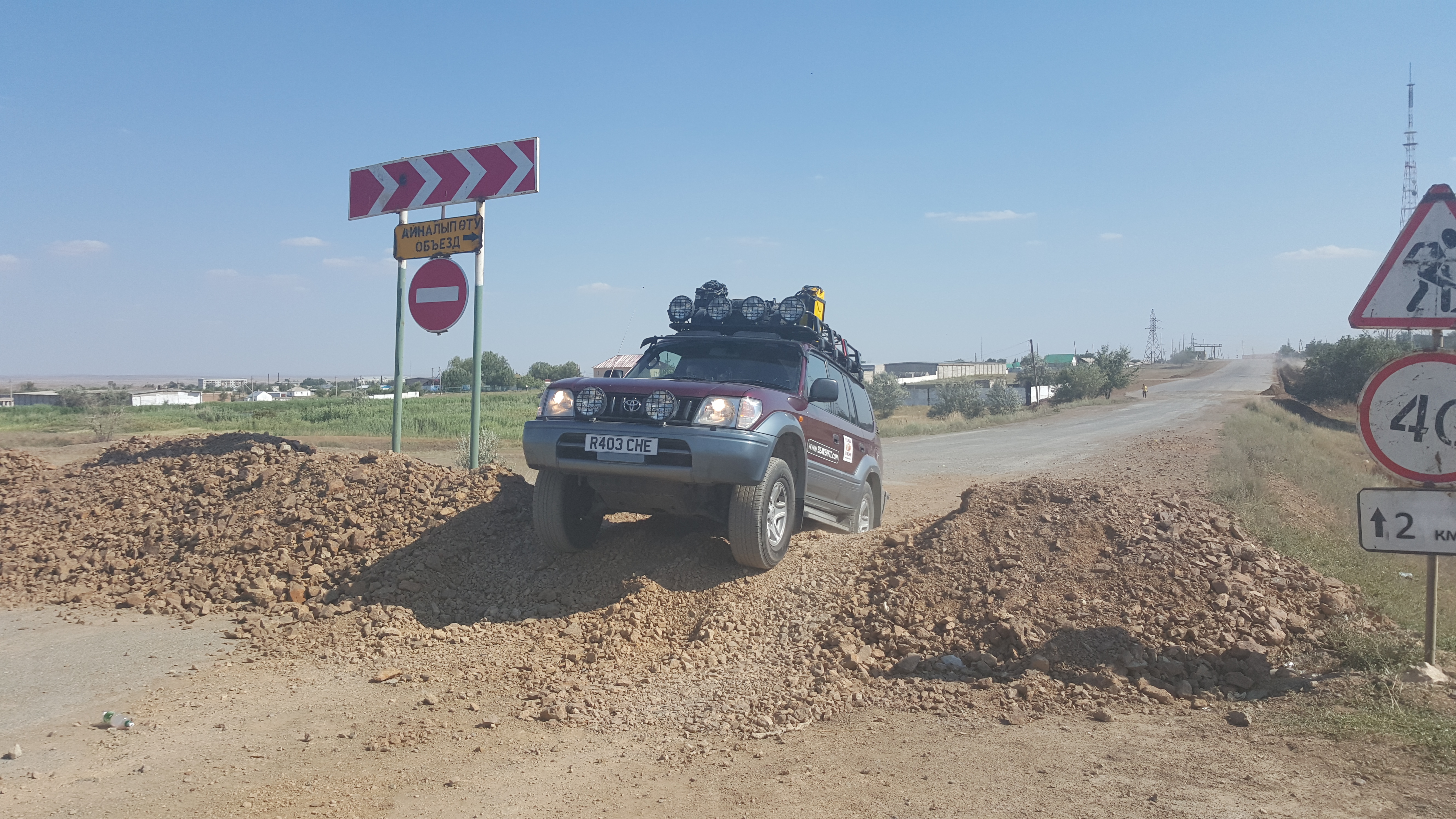
Navigating roadworks in Kazakhstan
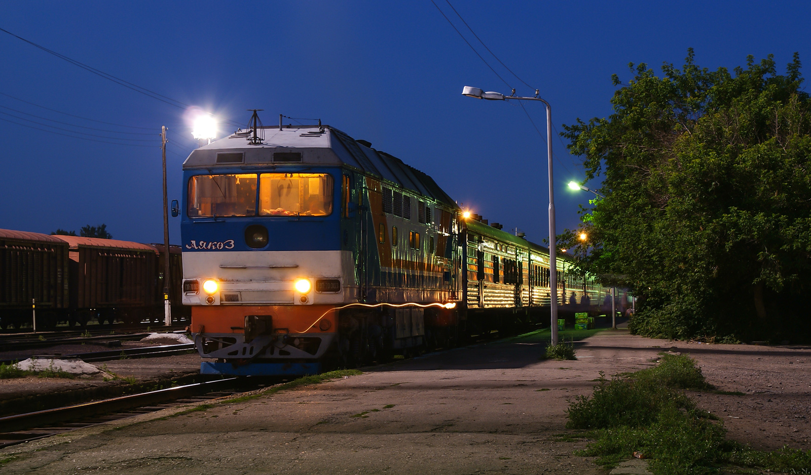
TEP70-0103 with #351 Almaty - Zaschita train

On a far away road to a far away land. Kazakhstan
Topographic Map of Ayagoz, Kazakhstan
Find elevation by address:

Places near Ayagoz, Kazakhstan:
Recent Searches:
- Elevation of Corso Fratelli Cairoli, 35, Macerata MC, Italy
- Elevation of Tallevast Rd, Sarasota, FL, USA
- Elevation of 4th St E, Sonoma, CA, USA
- Elevation of Black Hollow Rd, Pennsdale, PA, USA
- Elevation of Oakland Ave, Williamsport, PA, USA
- Elevation of Pedrógão Grande, Portugal
- Elevation of Klee Dr, Martinsburg, WV, USA
- Elevation of Via Roma, Pieranica CR, Italy
- Elevation of Tavkvetili Mountain, Georgia
- Elevation of Hartfords Bluff Cir, Mt Pleasant, SC, USA