Elevation of Aviation Dr, Corona, CA, USA

Location: United States > California > Riverside County > Corona >

Longitude: -117.59877

Latitude: 33.8954577

Elevation: 162m / 531feet

Barometric Pressure: 99KPa

Elevation Map:

elevation map of Aviation Dr, Corona, CA, USA

Satellite Map:

Satellite map of Aviation Dr, Corona, CA, USA

Related Photos:

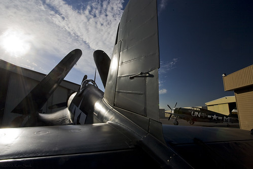
california backlight canon fighter aircraft aviation socal corsair canon5d canondslr warbird chino inlandempire p47 f4u tunderbolt planesoffameairmuseum danceswithlight canon1740f4lusmgroup sbcusa alltypesoftransport kenszok
Corsair Getting some Rays
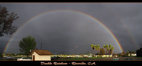
california ca travel blue red sky orange usa cloud storm color green nature rain yellow photoshop canon landscape photo interestingness interesting colorful skies photographer spectrum cs2 picture violet explore adobe southerncalifornia 1001nights doublerainbow hdr multi 2010 miraloma infocus continuos riversidecounty pedley photomatix raonbow 40d topazlabs fullrainbow concordians topazadjust topazdenoise photographersnaturecom davetoussaint cloudsstormssunsetssunrises ringexcellence dblringexcellence
The Double Rainbow in a Storm
candy
It's a Big, Small World After All
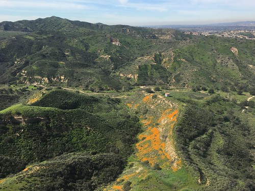
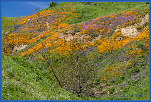
Gypsum Canyon Poppies
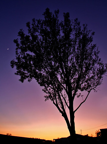
california travel sunset usa moon tree nature canon landscape photo colorful venus riverside picture photographers newyearseve planets 2008 40d photographersnaturecom davetoussaint davetoussaintcom
Venus and the Moon at Sunset
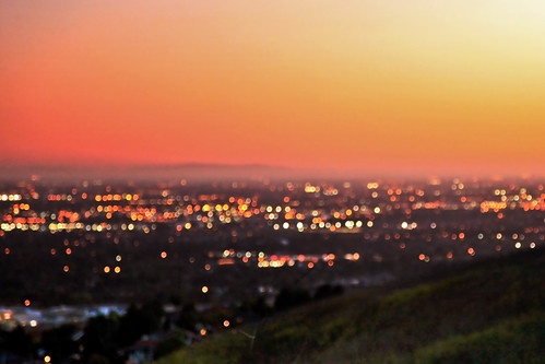
city sunset foothills skyline canon landscape outdoors lights golden evening spring bokeh hiking april 5d southerncalifornia orangecounty markii yorbalinda anaheimhills chinohillsstatepark wildlandurbaninterface
Suburban Bokeh, Orange County
square squareformat iphoneography instagramapp uploaded:by=instagram foursquare:venue=4f498997e4b0c132f1fe3df9
#instacollage#italy #uk #us #uci #ucla #coco #ca #amazing #love #losangeles #mouthgasm #brazil #brazil2014 #beverlyhillsb #vegas #view #california #sf #sanfranciscobay
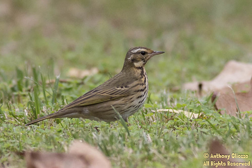
ca usa birds southerncalifornia missionviejo orangecounty yorbalinda yorbaregionalpark anthushodgsoni canon5dmarkiii anthonygliozzo olivebackedpipt
Olive-backed Pipit (19572) Alert pose (Side View)
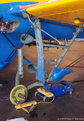
planesoffame airmuseum museum chino california warbird warbirds airplane airplanes plane planes aircraft boeing p26a p26 peashooter 33123 nx3378g fighter prewar detail landinggear aviation cno aerospace history historic aeroplane aeroplanes vintage n3378g rare 2012 chinoairport kcno airport maintenance collection sanbernardinocounty
Planes of Fame Air Museum - DSC_3264c
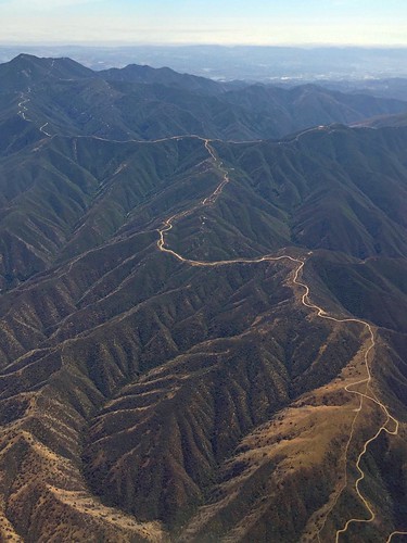
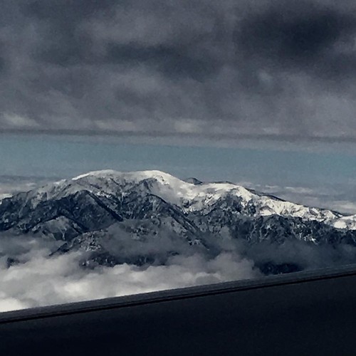
Somewhere near Corona in CA - view from airplane window
california bird us unitedstates wildlife siblings owl chino burrowingowl owlet
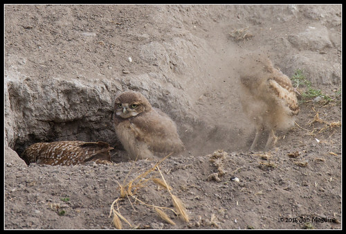
Burrow Cleaning Lesson 9776
Boeing B-17G Flying Fortress
trains railroads unionpacific up lasl locomotive emd dda40x sd402 pedley jarupa valley california
Leaning Centennial
california wallpaper sky usa color green art nature photoshop landscape eos creative textures pro southerncalifornia canoneos digitalphotography edges droh creativephotography phototools cs5 efex colorefexpro niksoftware creativedigitalphotography viveza creativepostprocessing dailyrayofhope dfine20 ononephototools viveza2 topazadjust4 autoefexedges
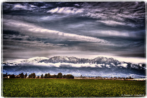
San Gabriel Mtns
planesoffame airmuseum museum chino warbird warbirds airplane airplanes plane planes aircraft grumman f8f bearcat restoration interior fuselage fighterrebuilders aviation califonia cno california aerospace history historic aeroplane aeroplanes vintage chinoairport kcno airport 2009 collection sanbernardinocounty
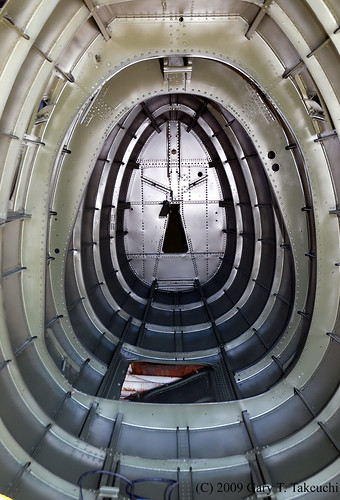
Planes of Fame Air Museum - DSC_3717c
planesoffame airmuseum museum chino airplane airplanes plane planes aircraft warbird warbirds messerschmitt bf109e1 bf109e7 bf109e bf109 german fighter werknummer3523 wnr3523 3523 restoration friedkin detail details aviation cno california me109 restore worldwarii wwii luftwaffe aerospace history historic aeroplane aeroplanes vintage chinoairport kcno airport worldwar2 ww2 war collection sanbernardinocounty
Planes of Fame Air Museum - DSC_0353c
california sign retail arlington store neon riverside bank 1960s southerncalifornia
Riverside - 6350 Van Buren Blvd.
california canon aircraft aviation airshow socal 5d canon5d zeke canondslr zero chino inlandempire a6m planesoffameairshow sbcusa kenszok
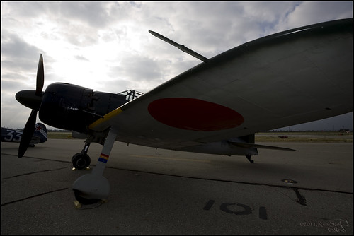
Zero under Cloudy Skies
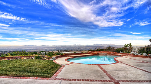
Yard & View
square squareformat iphoneography instagramapp uploaded:by=instagram
Backyard view
chino chinoairport airshow airplane airport warthog a10thunderboltii a10 airforce planesoffame
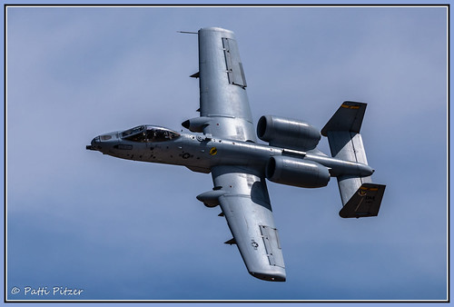
Warthog 3592
california trees summer clouds afternoon photos silverado chaparral blackstarcanyonwildernesspark irvineranchnaturallandmarks
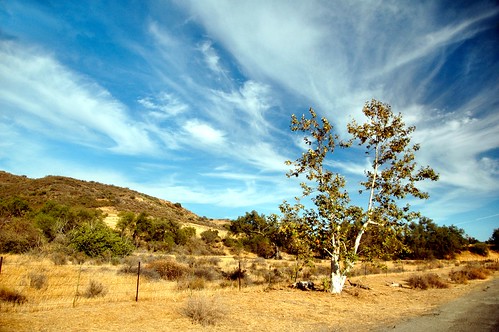
Sycamore Along the Road
chinohillsstatepark wildflower wildflowers chinohills california unitedstates us spring springtime
Chino Hills 5630
square squareformat iphoneography instagramapp uploaded:by=instagram
#new#travel#followme#tourism#instagramers#photolover#tbt#lol#nature#vivid#color#blue#sky#myart#egypt#redSea#tabaheight#justanidea#fun#lol#stillphoto#snapshot#peace#samiaphotography.com#losangeles#california#usa
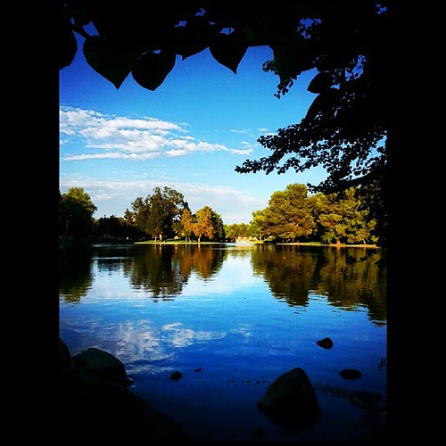
square lofi squareformat iphoneography instagramapp uploaded:by=instagram
#new#landscape#nature#SantaAna#River#instamood#tbt#lol#sky#blue#parks#outdoors#summer#heat#Anaheim#CA#USA
square lofi squareformat iphoneography instagramapp uploaded:by=instagram
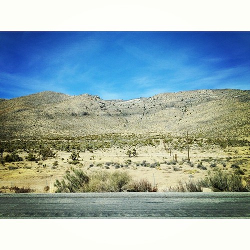
The drive home. Last shot for the day. #Desert #cacti #mountains
square squareformat iphoneography instagramapp uploaded:by=instagram
#new#landscape#nature#SantaAnaRiver#instalove#lol#tbt#blue#sky#parks#outdoors#summer#heat#Anaheim#justanidea#express#yourself#CA#USA
california nature digital landscape photo vista silverado chaparral clevelandnationalforest mariposapreserve
Mariposa Preserve #2
square squareformat iphoneography instagramapp uploaded:by=instagram foursquare:venue=4e21dfb8e4cdf685918a0ba7
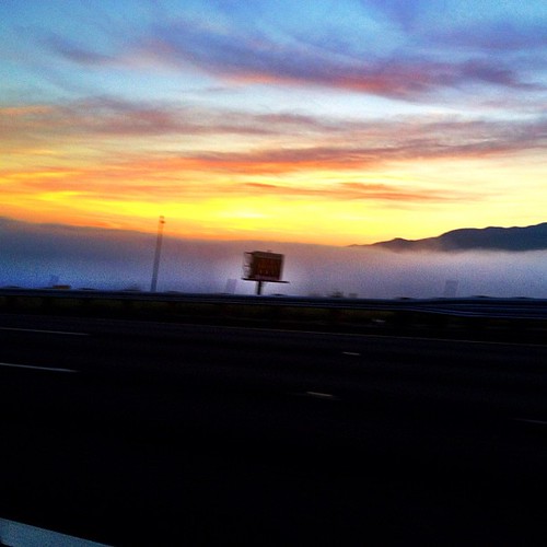
Above the fog below the clouds. #fog #sunrise #clouds #sky #dawn #thetollroads
chinohills
walk trail rain cloud
chinohills california unitedstates us
Sunday morning hiking in the hills
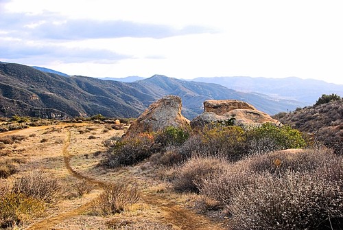
california mountains digital photo spring rocks afternoon geology irvine irvineranchnaturallandmarks fremontcanyonnaturepreserve
Fremont Canyon
square squareformat iphoneography instagramapp uploaded:by=instagram
#goldenstate #california
california autumn nature digital photo canyon cliffs geology silverado clevelandnationalforest blackstarcanyon
Black Star Canyon
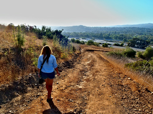
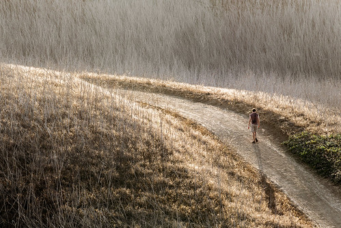
summer foothills man male guy canon walking path socal southerncalifornia orangecounty dslr grassland sl1 yorbalinda chinohillsstatepark sigma18250mmf3563dcmacrooshsm
For your steps alone
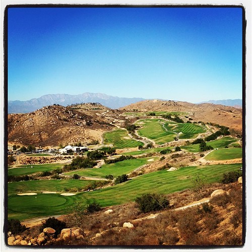
square lofi squareformat iphoneography instagramapp uploaded:by=instagram foursquare:venue=4b86c998f964a5204f9d31e3
Always enjoy playing here.
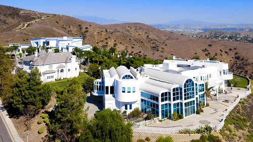
birdseye yobralinda hilltop mansions socal southerncalifornia house home houses hills suburbs orangecounty white hiddenhills 7dwf saturdays landscapes
Lives of the Rich in Yorba Linda
square squareformat iphoneography instagramapp uploaded:by=instagram
#new#greatfall#changingleaves#vivid#color#instaphoto#tbt#lol#fun#peace#nature#justanidea#coloroflight#expressyourself#nationalpark#anaheim#ca
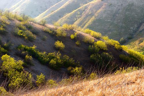
trees summer foothills green grass yellow canon landscape golden hiking socal valley southerncalifornia orangecounty dslr sl1 ridges yorbalinda chinohillsstatepark sigma18250mmf3563dcmacrooshsm
Late Afternoon in the Foothills
california summer clouds digital photo afternoon canyon silverado chaparral blackstarcanyonwildernesspark irvineranchnaturallandmarks
Santiago Canyon
orange leaves brush trunk blackstarcanyon couunty
Black Star Canyon 43
The clouds were pink. I used an iPod touch to take the pictures.