Elevation of Ave H, Kentwood, LA, USA
Location: United States > Louisiana > Tangipahoa Parish > > Kentwood >
Longitude: -90.509115
Latitude: 30.935682
Elevation: 63m / 207feet
Barometric Pressure: 101KPa
Elevation Map:
Satellite Map:
Related Photos:

2016_07_06_Lantern-1

My morning view. #camping #tent #scouting #boyscouts
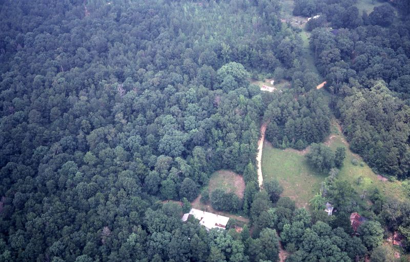
Ariel view of my house circa 1980
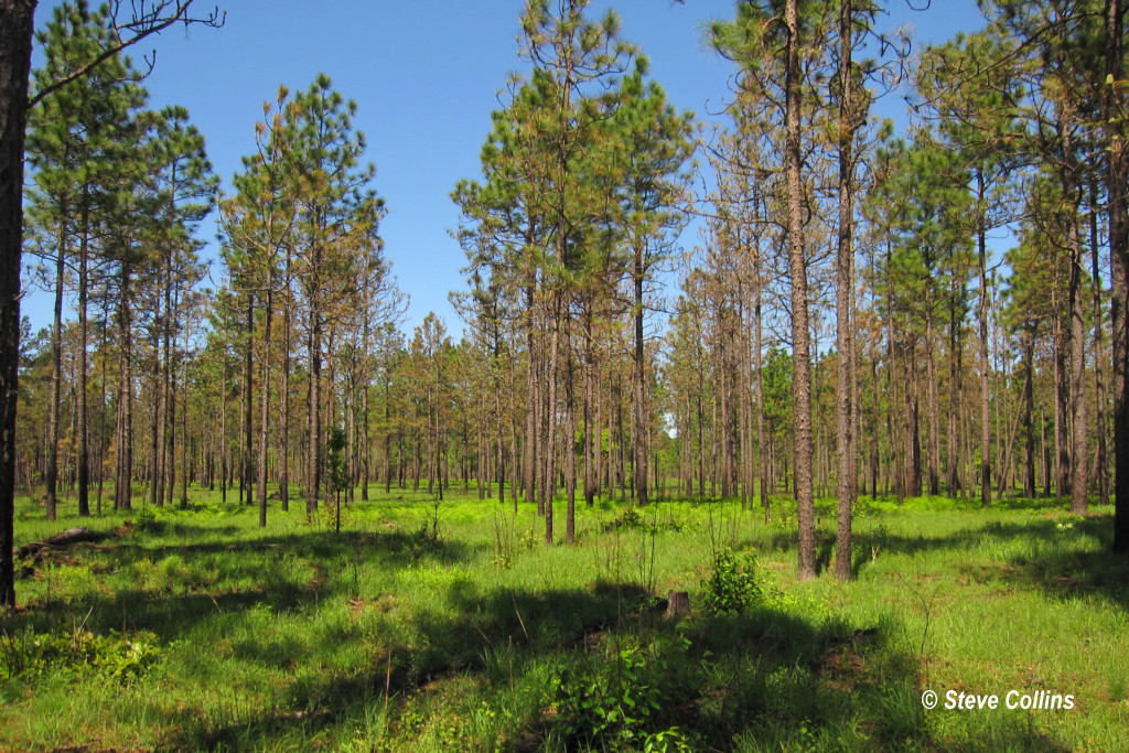
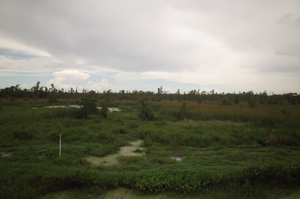
I ♥ Longleaf Flatwoods

RI038547.JPG

RI038539.JPG

RI038537.JPG

RI038543.JPG
RI038556.JPG

RI038540.JPG

RI038526.JPG
RI038557.JPG
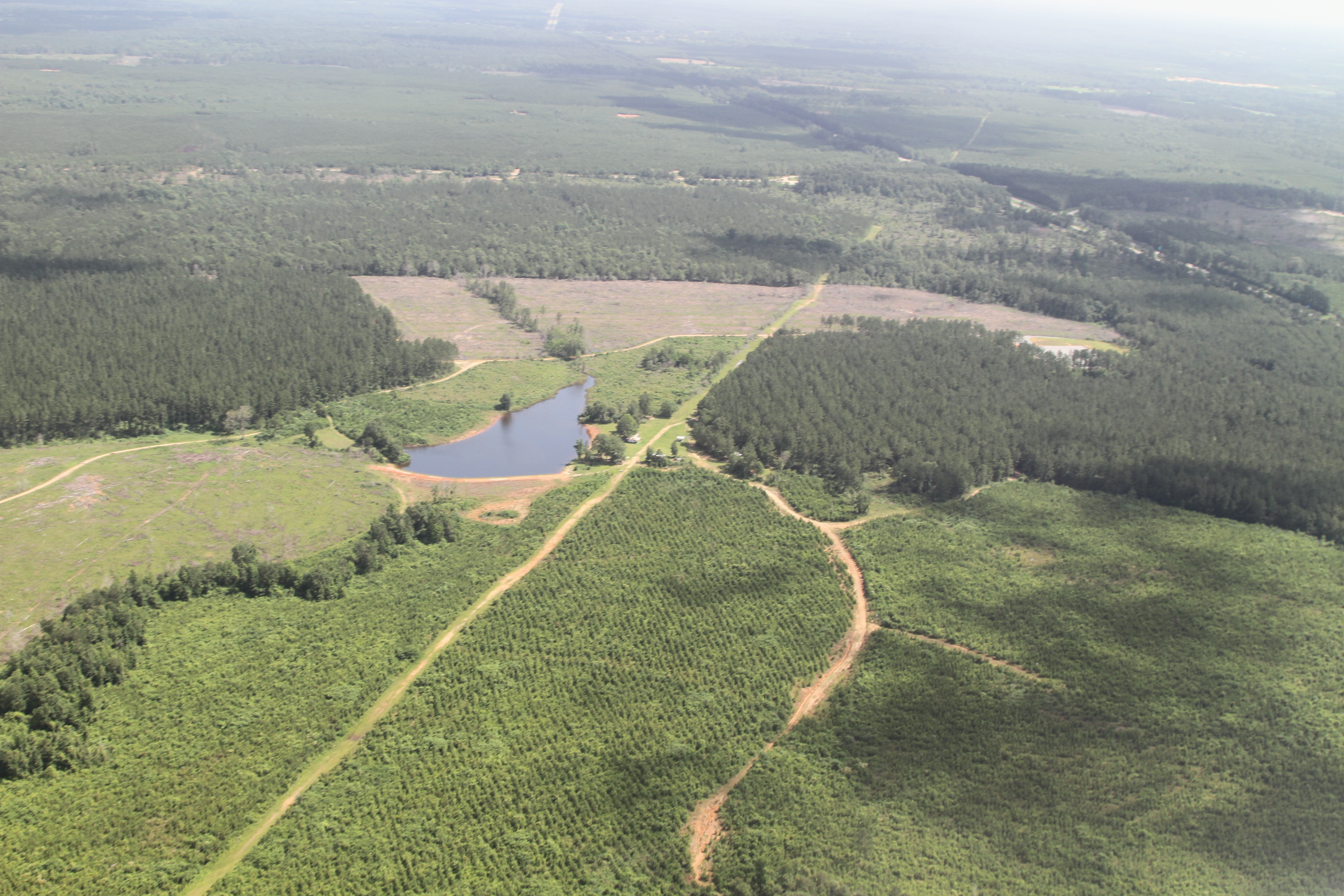
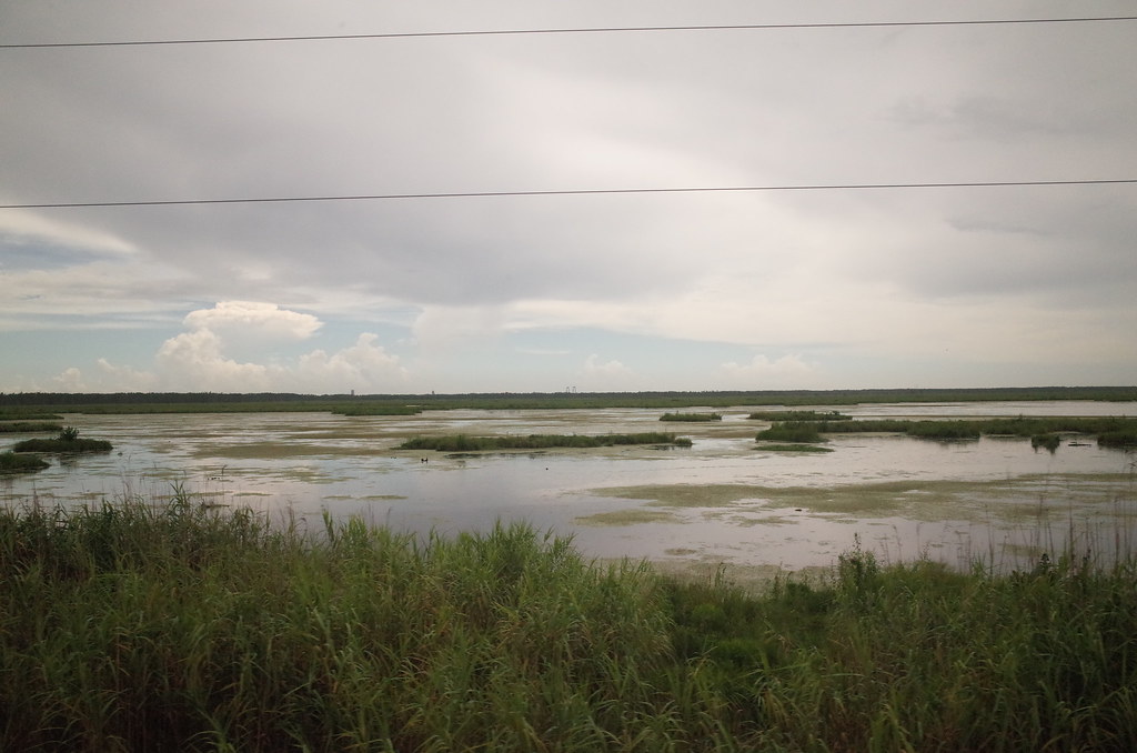
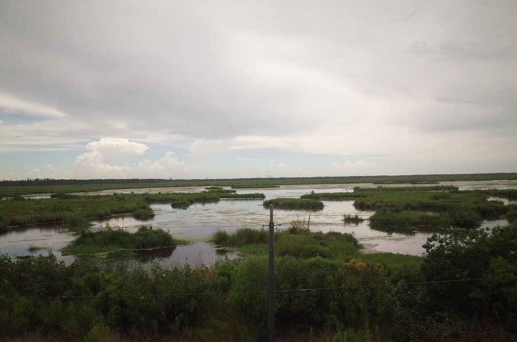
a farmer's pond turned to fracking
RI038560.JPG

IMG_3289 new frack pad perhaps

RI038563.JPG
IMG_1354 E 156657

2016_07_07_WaterBeastFarm-1
Topographic Map of Ave H, Kentwood, LA, USA
Find elevation by address:

Places near Ave H, Kentwood, LA, USA:
Tangipahoa
15401 La-440
US-51, Fluker, LA, USA
LA-, Kentwood, LA, USA
67209 Oil Field Rd
67209 Oil Field Rd
67209 Oil Field Rd
US-51, Roseland, LA, USA
Hill Street
Alford Lane
12642 Tangipahoa Ave
12642 Tangipahoa Ave
12642 Tangipahoa Ave
Roseland
Par Road 214
63355 Mcclendon Ln
63355 Mcclendon Ln
63355 Mcclendon Ln
63355 Mcclendon Ln
63355 Mcclendon Ln
Recent Searches:
- Elevation of Corso Fratelli Cairoli, 35, Macerata MC, Italy
- Elevation of Tallevast Rd, Sarasota, FL, USA
- Elevation of 4th St E, Sonoma, CA, USA
- Elevation of Black Hollow Rd, Pennsdale, PA, USA
- Elevation of Oakland Ave, Williamsport, PA, USA
- Elevation of Pedrógão Grande, Portugal
- Elevation of Klee Dr, Martinsburg, WV, USA
- Elevation of Via Roma, Pieranica CR, Italy
- Elevation of Tavkvetili Mountain, Georgia
- Elevation of Hartfords Bluff Cir, Mt Pleasant, SC, USA