Elevation of US-51, Roseland, LA, USA
Location: United States > Louisiana > Tangipahoa Parish > > Roseland >
Longitude: -90.510690
Latitude: 30.7761608
Elevation: 41m / 135feet
Barometric Pressure: 101KPa
Elevation Map:
Satellite Map:
Related Photos:
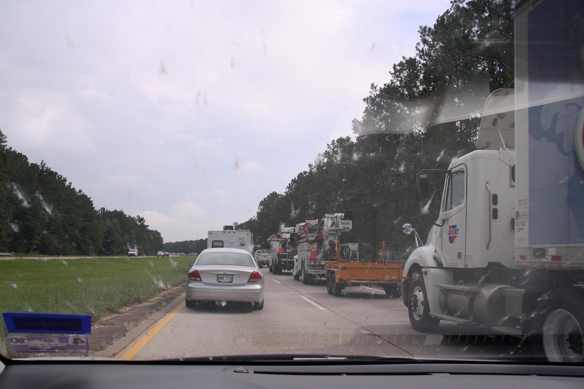
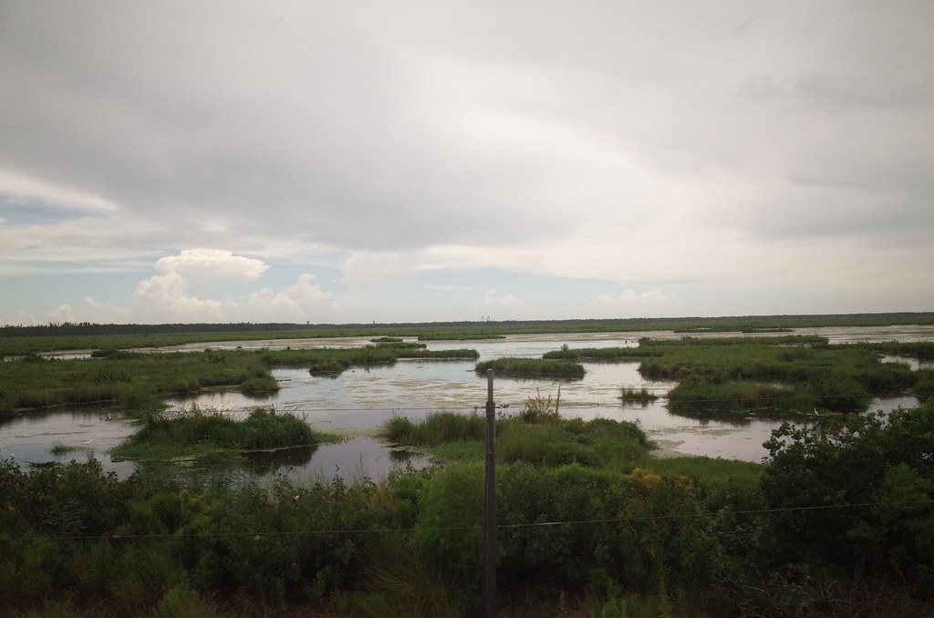
So Close, Yet So Far
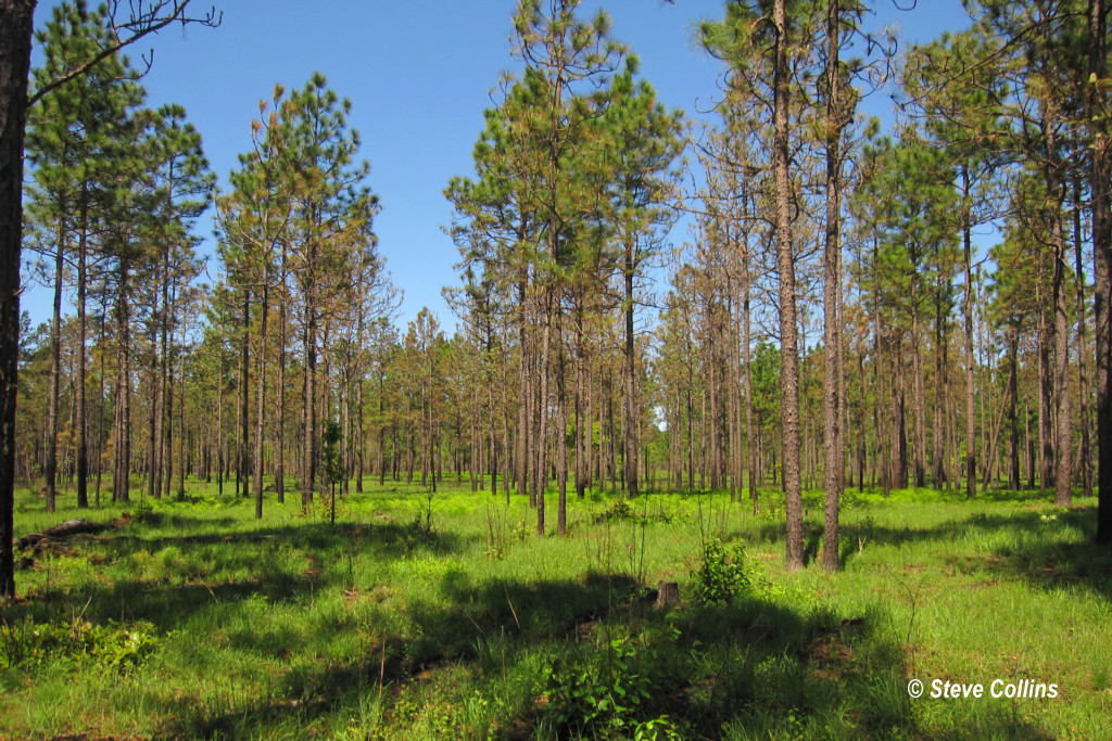
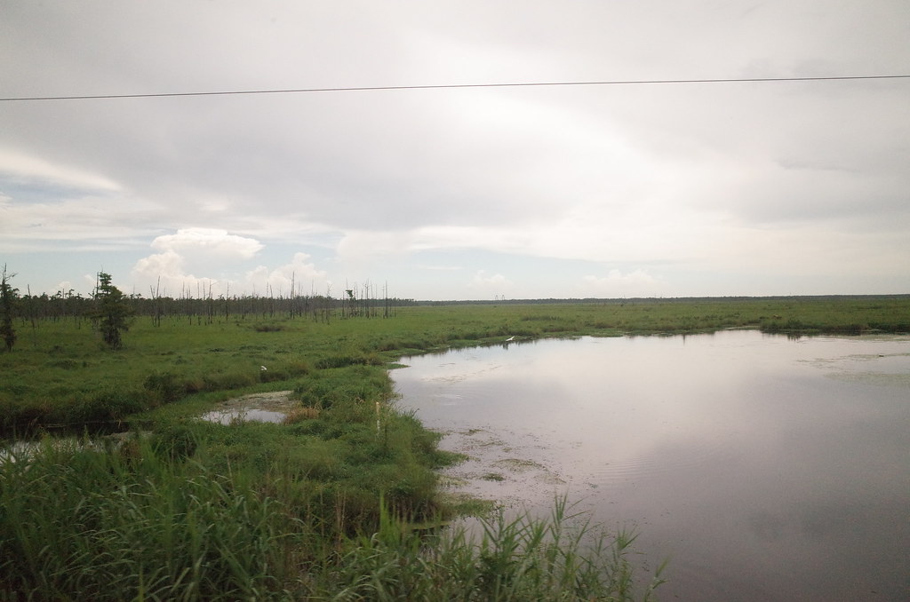
I ♥ Longleaf Flatwoods

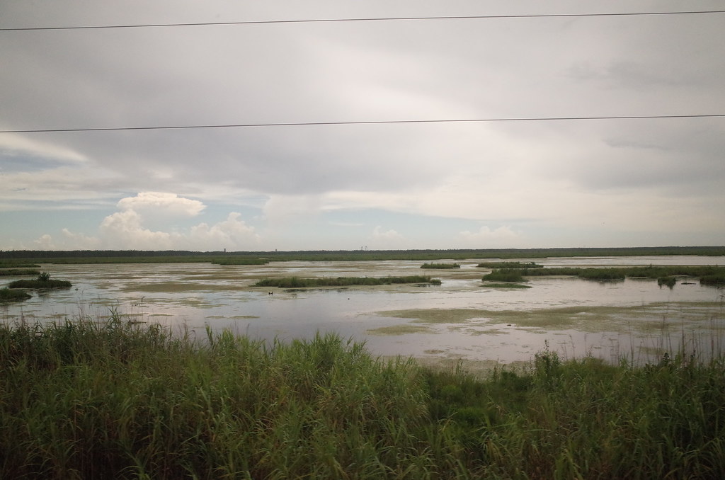
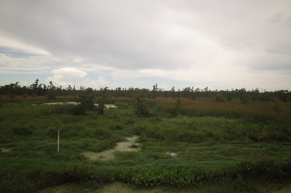
Louisiana morning

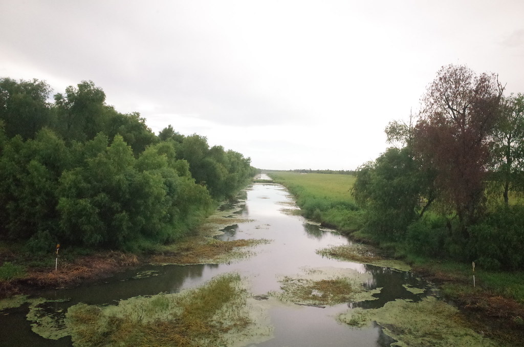
RI038547.JPG

RI038543.JPG
RI038556.JPG
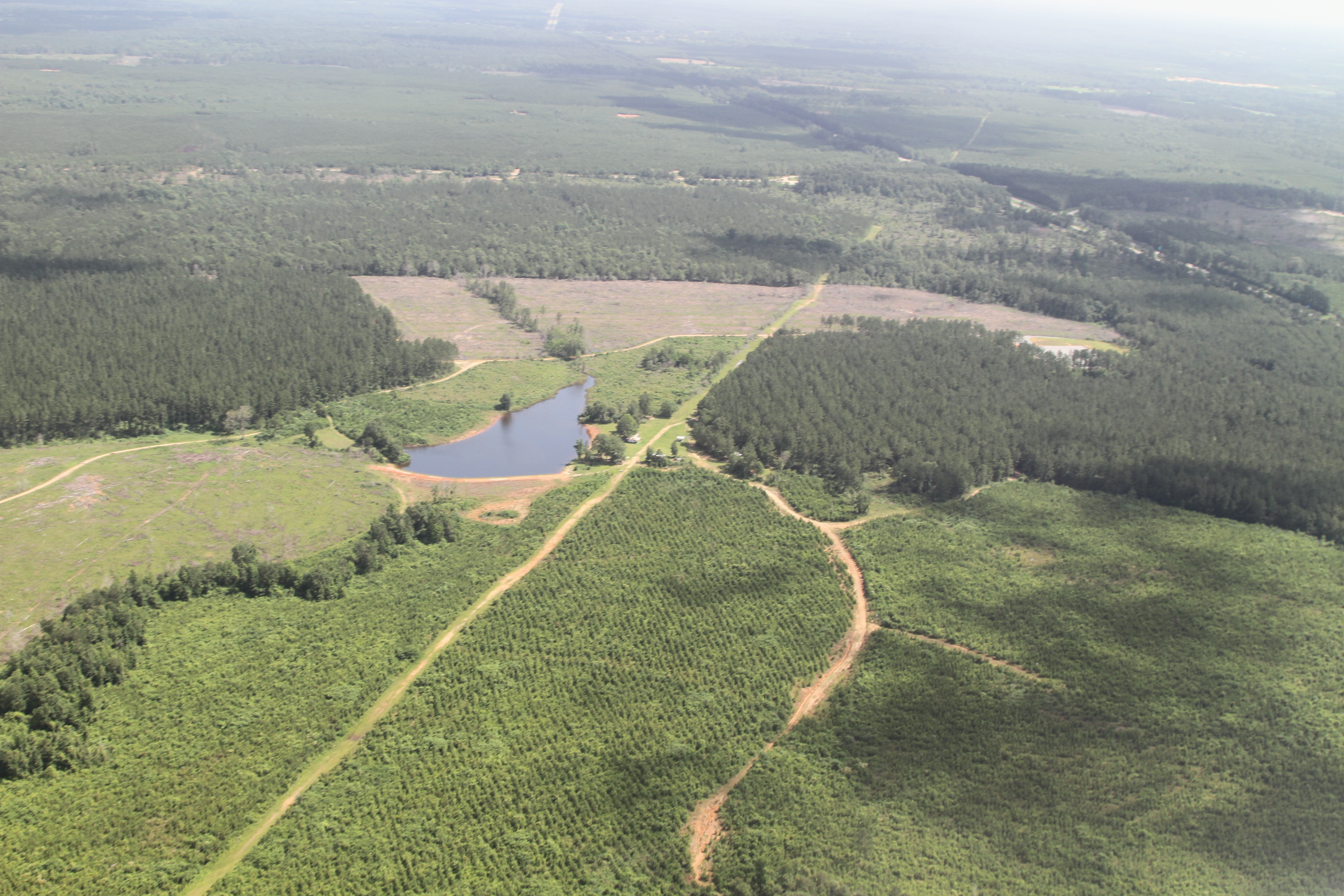
a farmer's pond turned to fracking
RI038557.JPG
RI038558.JPG
RI038560.JPG

IMG_3289 new frack pad perhaps

IMG_3078 tangipahoa
RI038563.JPG
Topographic Map of US-51, Roseland, LA, USA
Find elevation by address:

Places near US-51, Roseland, LA, USA:
Hill Street
12642 Tangipahoa Ave
12642 Tangipahoa Ave
12642 Tangipahoa Ave
Roseland
US-51, Fluker, LA, USA
Alford Lane
63355 Mcclendon Ln
63355 Mcclendon Ln
63355 Mcclendon Ln
63355 Mcclendon Ln
63355 Mcclendon Ln
63355 Mcclendon Ln
63355 Mcclendon Ln
Tangipahoa
15401 La-440
67209 Oil Field Rd
67209 Oil Field Rd
67209 Oil Field Rd
LA-, Kentwood, LA, USA
Recent Searches:
- Elevation of Corso Fratelli Cairoli, 35, Macerata MC, Italy
- Elevation of Tallevast Rd, Sarasota, FL, USA
- Elevation of 4th St E, Sonoma, CA, USA
- Elevation of Black Hollow Rd, Pennsdale, PA, USA
- Elevation of Oakland Ave, Williamsport, PA, USA
- Elevation of Pedrógão Grande, Portugal
- Elevation of Klee Dr, Martinsburg, WV, USA
- Elevation of Via Roma, Pieranica CR, Italy
- Elevation of Tavkvetili Mountain, Georgia
- Elevation of Hartfords Bluff Cir, Mt Pleasant, SC, USA