Elevation of Athwelthota Bridge, Tiruwanaketiya-Agalawatte Rd, Athweltota, Sri Lanka
Location: Sri Lanka > Western Province > Kalutara > Athweltota >
Longitude: 80.2861127
Latitude: 6.5432298
Elevation: 79m / 259feet
Barometric Pressure: 0KPa
Related Photos:

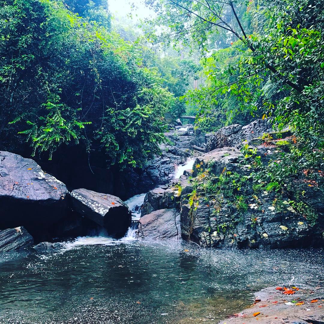
Makeli Falls

Tempel - Elefant
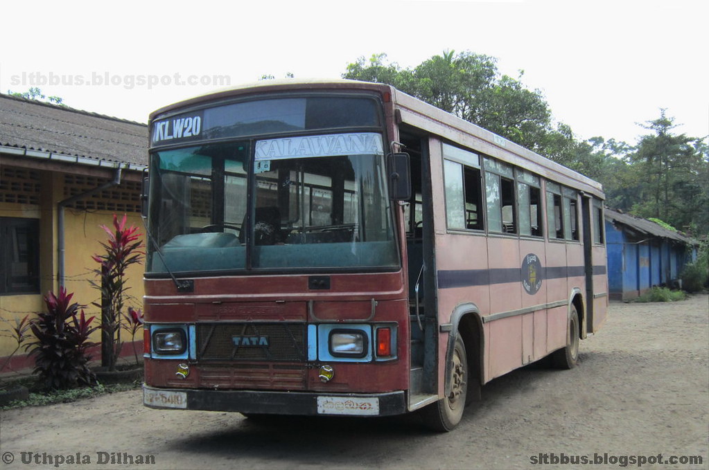
Wesco TATA LPO 1313/55 bus from SLTB Kalawana depot

Nest Wood Bungalow
Julee Ella - Ridiwita, Polgampala This small water fall can be seen in Thambadola stream in Polgampola in Kalutara District. Passing Thambadola Ella in Ridiwita,Polgampola in the upstream you can reach this small waterfall. There is a Buddhist Monas

"The World is a book, and those who do not travel read only a page...." Chill at Ahasbokku Ella , Athweltota.. #travelwithdk #Ahasbokkuella #athweltota #srilanka #travelgram #travelphotography #wanderlust #waterfall #waterfallhunting #adventure #adrinal

Face to face with a bug ! #macrophotography #macro #bugslife #srilanka #wildlifephotography #Winnipeg #rainforest

Mountain ranges of Central Sri Lanka

The flight deck of the Cinnamon Air seaplane

Purple-faced (Bus-stop) Leaf Monkey 2018

Galle area 1922

Jungle panorama

Daughter with umbrella

En route to Neluwa!
Topographic Map of Athwelthota Bridge, Tiruwanaketiya-Agalawatte Rd, Athweltota, Sri Lanka
Find elevation by address:

Places near Athwelthota Bridge, Tiruwanaketiya-Agalawatte Rd, Athweltota, Sri Lanka:
Athweltota
Palindanuwara
Baduraliya
Makeli Ella Waterfall
Molkawa
Ayagama
Runakanda
Kalugala Monastery
Kalukandawa
Gavaragiriya
Delgoda West
Waddagala Eco Camping Lodge
Katukenda
Teaching Hospital Ratnapura
Nivithigala
Neluwa
Neluwa
Ratnapura
Rathnapura Town
Sabaragamuwa Province
Recent Searches:
- Elevation of Window Rock, Colfax County, New Mexico, 87714, USA
- Elevation of 4807, Rosecroft Street, Kempsville Gardens, Virginia Beach, Virginia, 23464, USA
- Elevation map of Matawinie, Quebec, Canada
- Elevation of Sainte-Émélie-de-l'Énergie, Matawinie, Quebec, Canada
- Elevation of Rue du Pont, Sainte-Émélie-de-l'Énergie, Matawinie, Quebec, J0K2K0, Canada
- Elevation of 8, Rue de Bécancour, Blainville, Thérèse-De Blainville, Quebec, J7B1N2, Canada
- Elevation of Wilmot Court North, 163, University Avenue West, Northdale, Waterloo, Region of Waterloo, Ontario, N2L6B6, Canada
- Elevation map of Panamá Province, Panama
- Elevation of Balboa, Panamá Province, Panama
- Elevation of San Miguel, Balboa, Panamá Province, Panama
- Elevation of Isla Gibraleón, San Miguel, Balboa, Panamá Province, Panama
- Elevation of 4655, Krischke Road, Schulenburg, Fayette County, Texas, 78956, USA
- Elevation of Carnegie Avenue, Downtown Cleveland, Cleveland, Cuyahoga County, Ohio, 44115, USA
- Elevation of Walhonding, Coshocton County, Ohio, USA
- Elevation of Clifton Down, Clifton, Bristol, City of Bristol, England, BS8 3HU, United Kingdom
- Elevation map of Auvergne-Rhône-Alpes, France
- Elevation map of Upper Savoy, Auvergne-Rhône-Alpes, France
- Elevation of Chamonix-Mont-Blanc, Upper Savoy, Auvergne-Rhône-Alpes, France
- Elevation of 908, Northwood Drive, Bridge Field, Chesapeake, Virginia, 23322, USA
- Elevation map of Nagano Prefecture, Japan