Elevation of Kalutara, Sri Lanka
Location: Sri Lanka > Western Province >
Longitude: 80.1428584
Latitude: 6.6084686
Elevation: 147m / 482feet
Barometric Pressure: 0KPa
Related Photos:
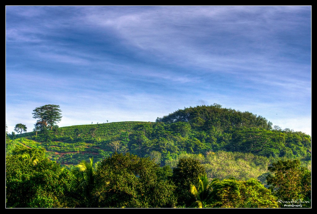
A view from my home
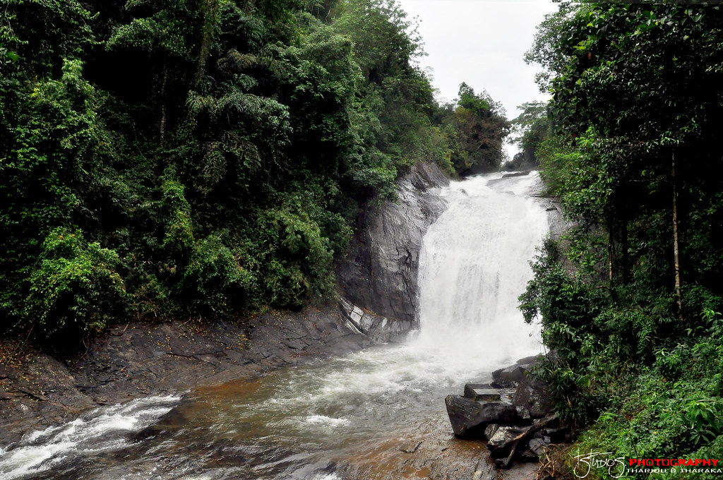
Makeli Falls
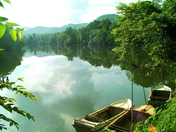
Kalu ganga
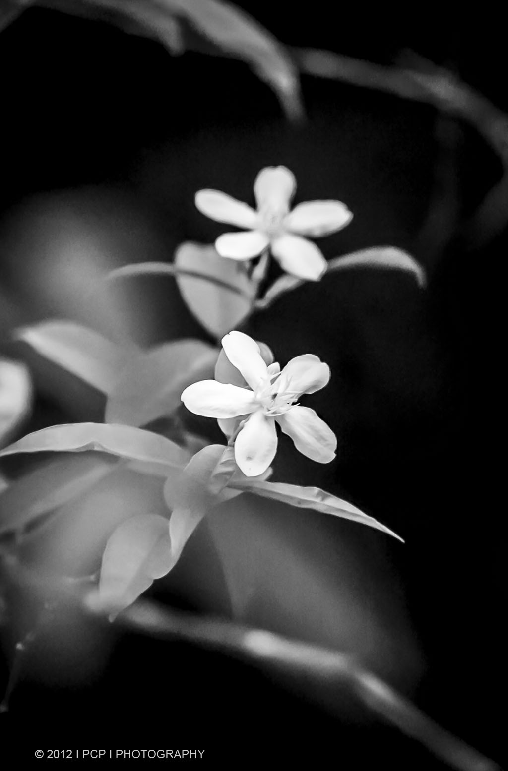
Temple Flowers

Refreshing morning

Two Horses having breakfast

Beautiful Morning

Beautiful Monrning

Beautiful Morning
Topographic Map of Kalutara, Sri Lanka
Find elevation by address:

Places in Kalutara, Sri Lanka:
Gavaragiriya
Palindanuwara
Baduraliya
Beruwala
Wadduwa
Horana
Kalutara
Molkawa
Panadura
Athweltota
Kalukandawa
Matugama
Kalugala Monastery
Places near Kalutara, Sri Lanka:
Matugama
Horana Bus Station
Horana
Uggalbada East
Uggalboda - Duwegama Road
Kalutara
Saint Sebastian Road
Wadduwa
Beruwala
Pamunugama
Horana Road
Bentota
Panadura
Padukka
Meepe
Colombo
Pinnawala
Homagama
Habarakada
Kottawa Town
Recent Searches:
- Elevation map of Greenland, Greenland
- Elevation of Sullivan Hill, New York, New York, 10002, USA
- Elevation of Morehead Road, Withrow Downs, Charlotte, Mecklenburg County, North Carolina, 28262, USA
- Elevation of 2800, Morehead Road, Withrow Downs, Charlotte, Mecklenburg County, North Carolina, 28262, USA
- Elevation of Yangbi Yi Autonomous County, Yunnan, China
- Elevation of Pingpo, Yangbi Yi Autonomous County, Yunnan, China
- Elevation of Mount Malong, Pingpo, Yangbi Yi Autonomous County, Yunnan, China
- Elevation map of Yongping County, Yunnan, China
- Elevation of North 8th Street, Palatka, Putnam County, Florida, 32177, USA
- Elevation of 107, Big Apple Road, East Palatka, Putnam County, Florida, 32131, USA
- Elevation of Jiezi, Chongzhou City, Sichuan, China
- Elevation of Chongzhou City, Sichuan, China
- Elevation of Huaiyuan, Chongzhou City, Sichuan, China
- Elevation of Qingxia, Chengdu, Sichuan, China
- Elevation of Corso Fratelli Cairoli, 35, Macerata MC, Italy
- Elevation of Tallevast Rd, Sarasota, FL, USA
- Elevation of 4th St E, Sonoma, CA, USA
- Elevation of Black Hollow Rd, Pennsdale, PA, USA
- Elevation of Oakland Ave, Williamsport, PA, USA
- Elevation of Pedrógão Grande, Portugal