Elevation of Aspen Butte, Oregon, USA
Location: United States > Oregon > Klamath County > Klamath Falls >
Longitude: -122.08751
Latitude: 42.3154167
Elevation: 2410m / 7907feet
Barometric Pressure: 76KPa
Elevation Map:
Satellite Map:
Related Photos:
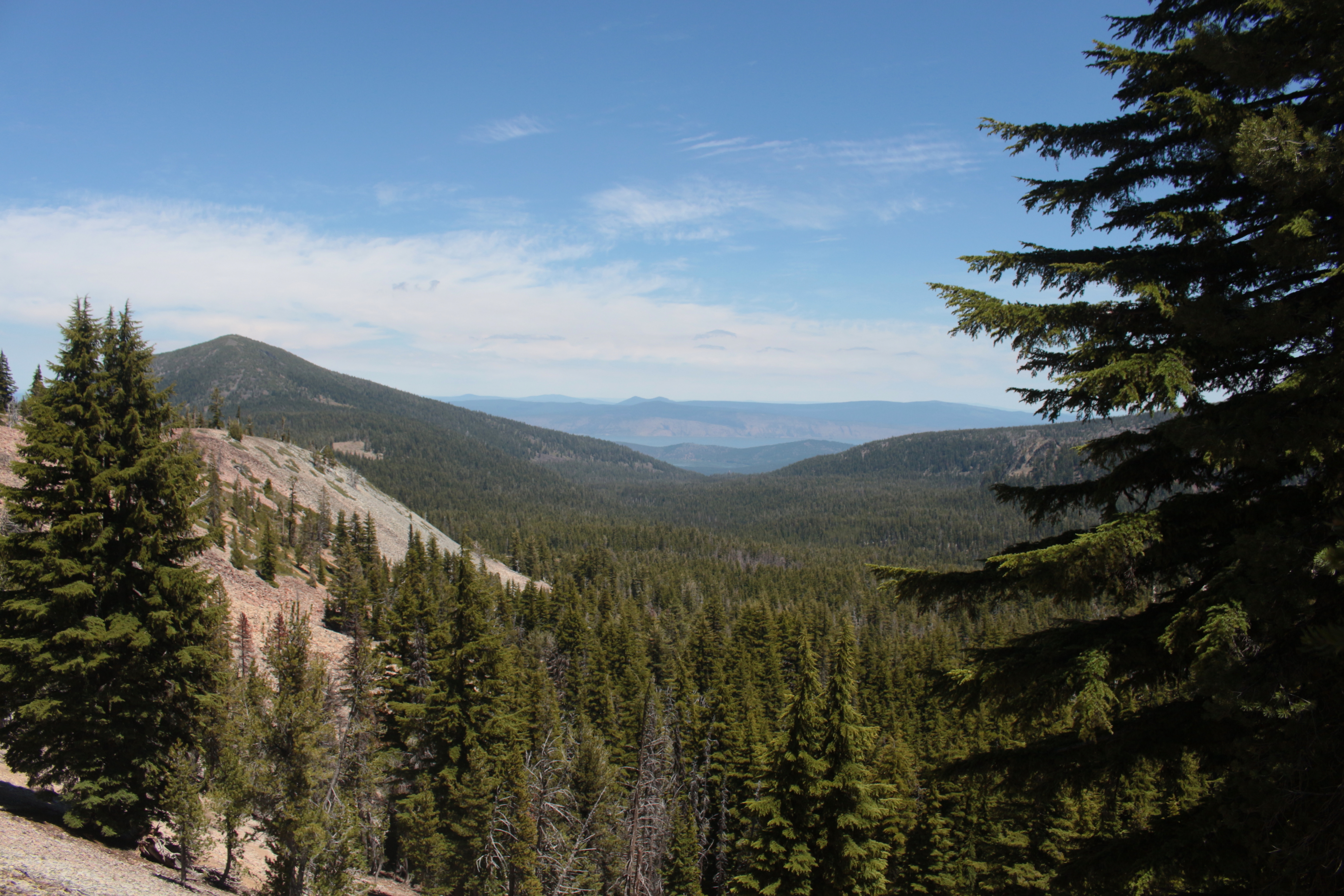
View to Upper Klamath Lake from the north pass
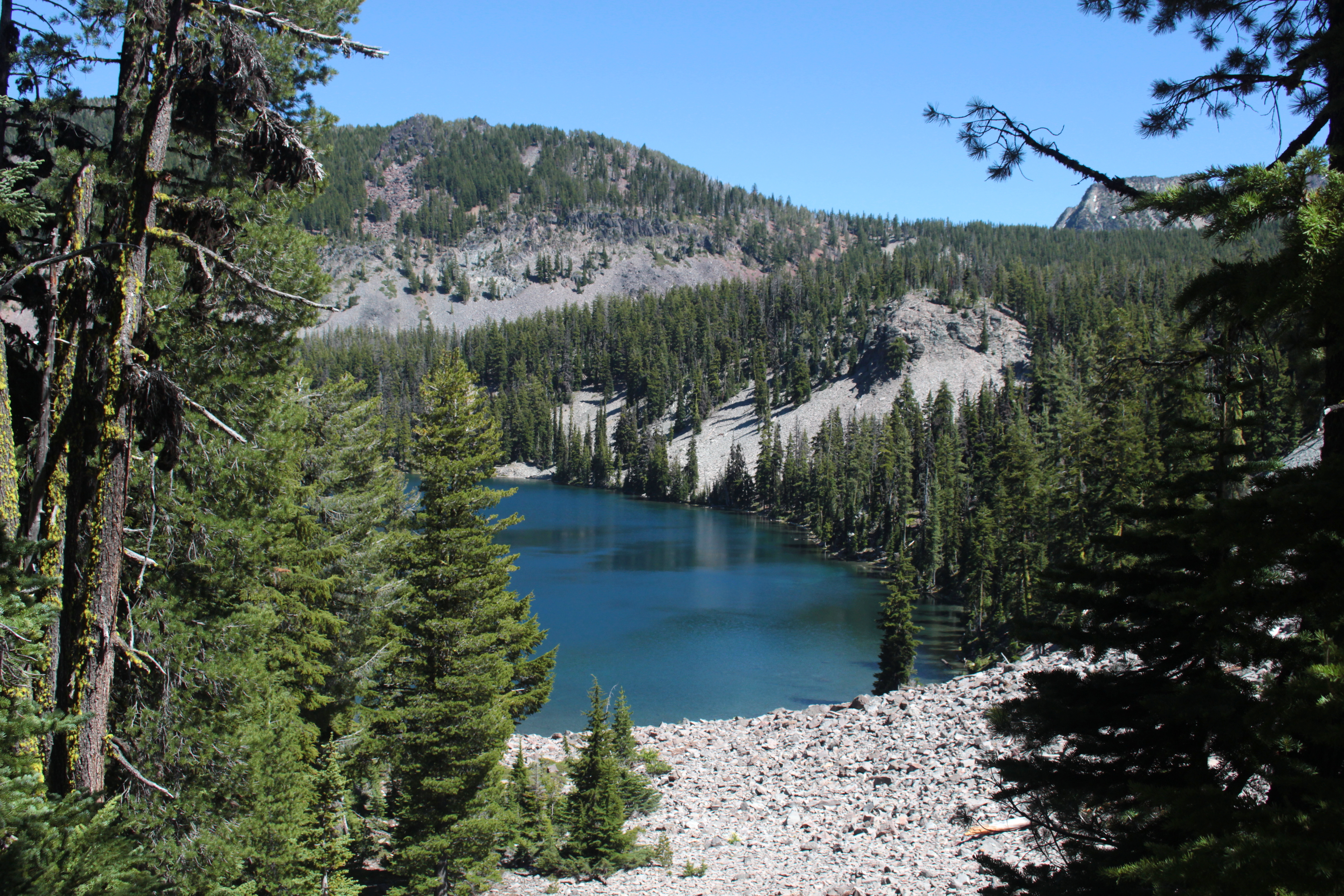
First view of Harriette Lake, our home for the night
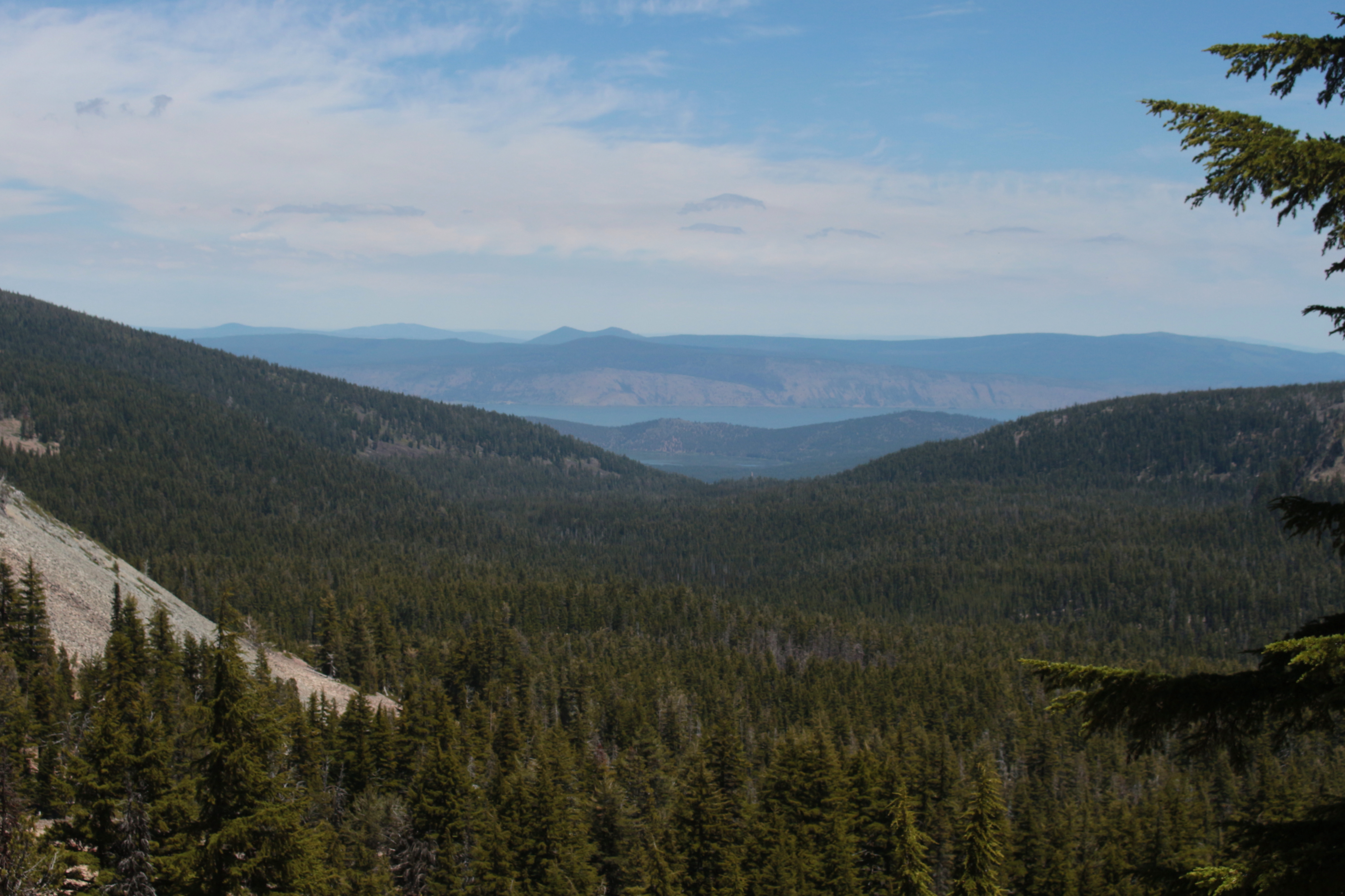
View to Upper Klamath Lake
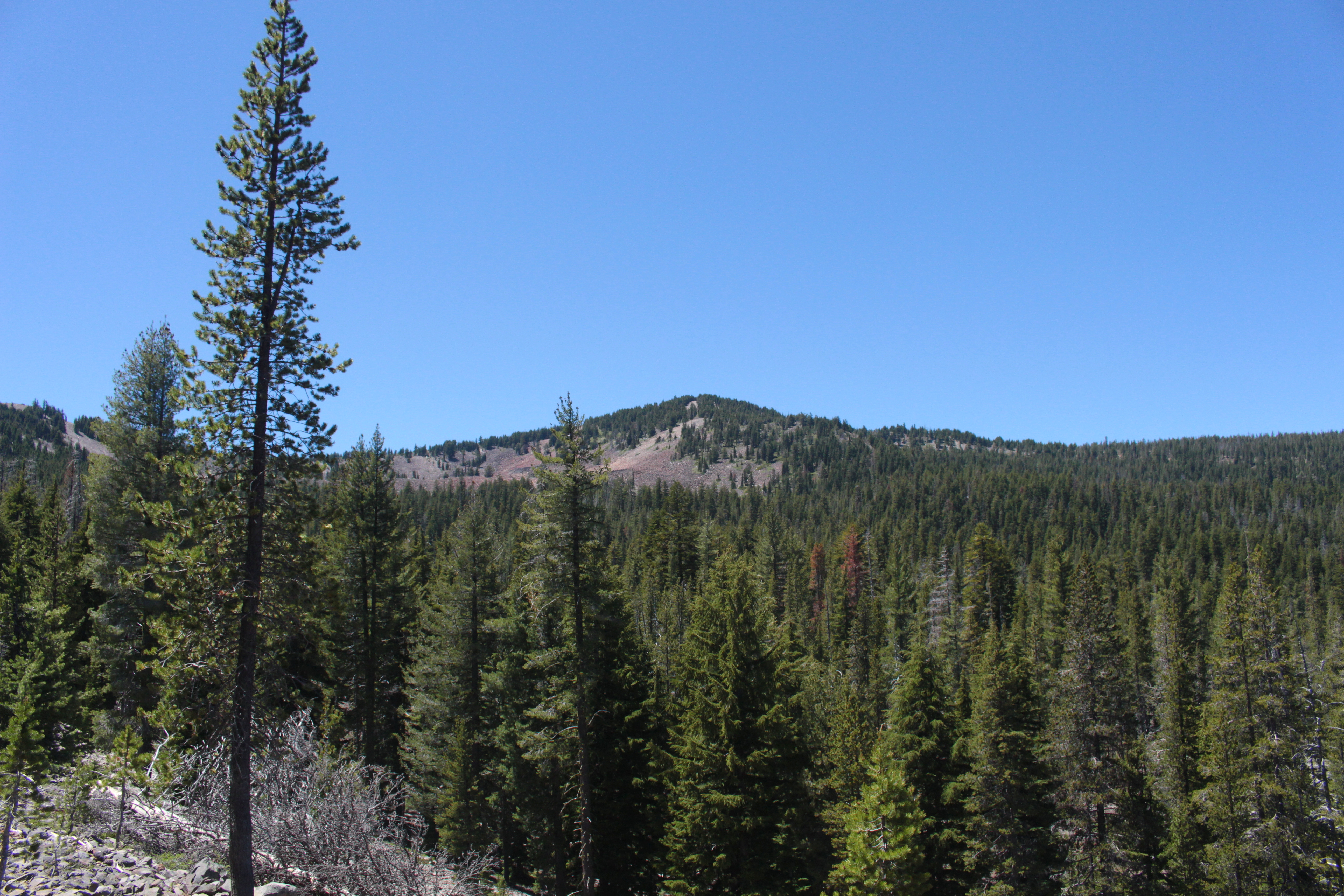
View to Greylock Mountain
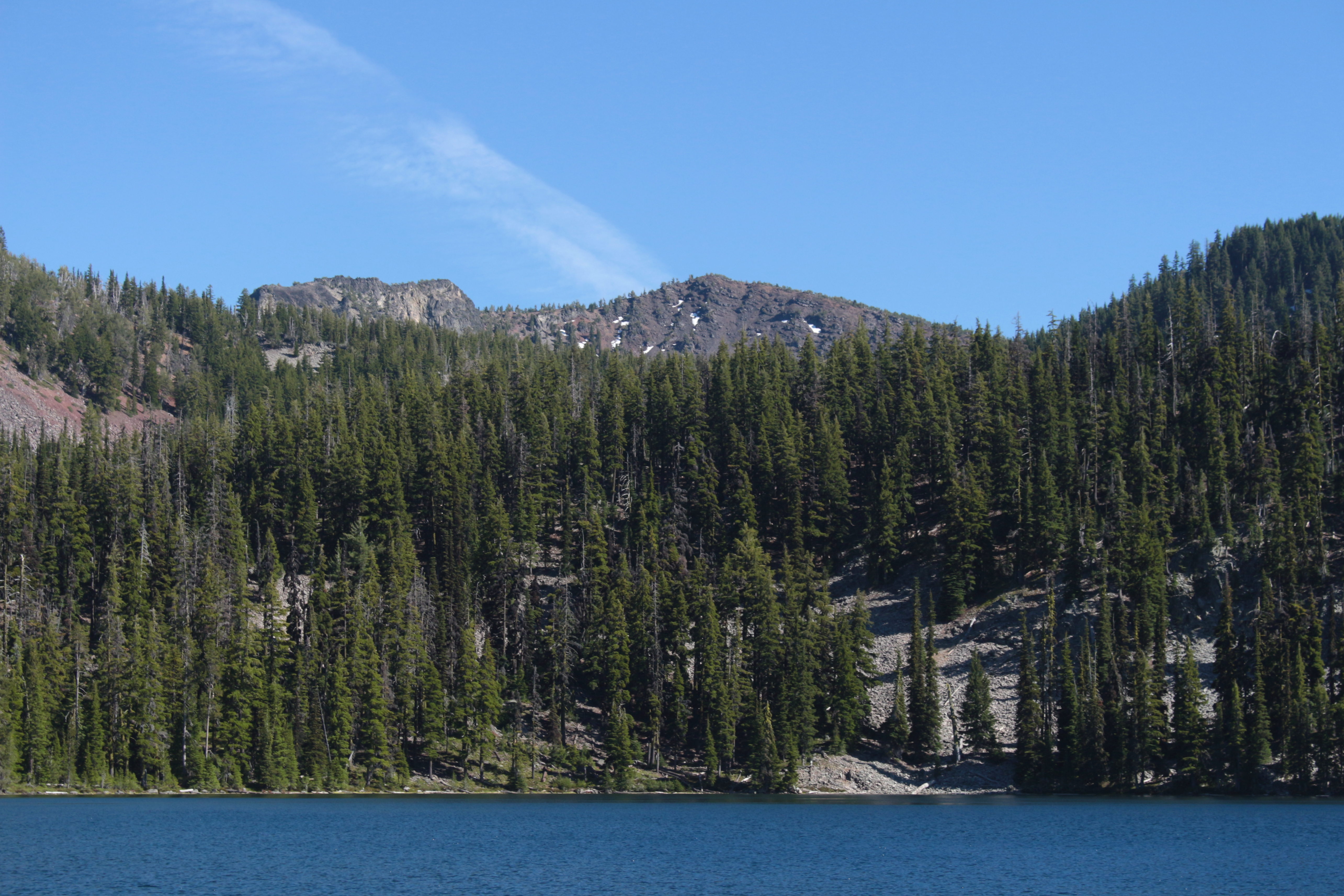
View to Aspen Butte, the highest point in the Mountain Lakes Wilderness

Eagle Ridge Marsh view of Crater Lake
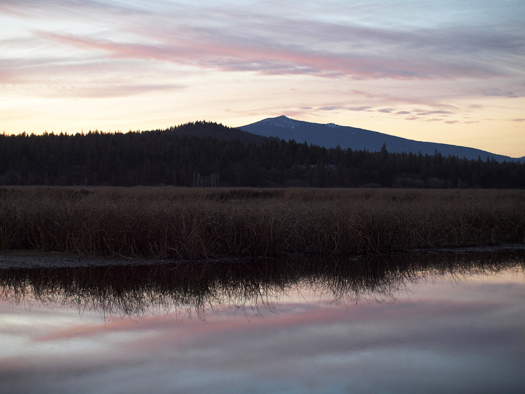
Eagle Ridge Marsh View
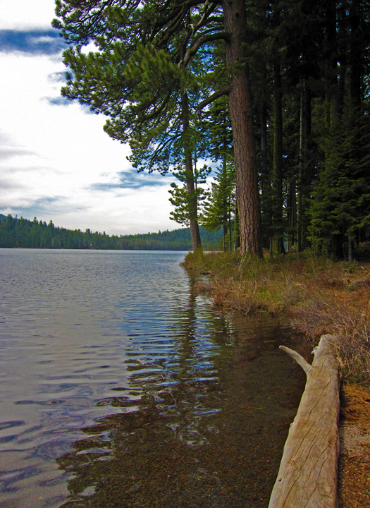
Lake of the Woods
Topographic Map of Aspen Butte, Oregon, USA
Find elevation by address:

Places near Aspen Butte, Oregon, USA:
31210 Harriette Dr
Dead Indian Memorial Road
Dead Indian Memorial Road
Usfs Road
Lake Of The Woods
Rocky Point
8045 Toboggan Cir
8045 Toboggan Cir
8045 Toboggan Cir
Pelican Butte
14104 Ravenwood Dr
4904 Grosbeak Dr
Modoc Point Rd, Chiloquin, OR, USA
Mount Mcloughlin
33829 Golden Meadow Rd
13440 Algoma Rd
Sunset Beach Rd, Klamath Falls, OR, USA
4850 Wocus Rd
Wocus Road
Wocus Road
Recent Searches:
- Elevation of Corso Fratelli Cairoli, 35, Macerata MC, Italy
- Elevation of Tallevast Rd, Sarasota, FL, USA
- Elevation of 4th St E, Sonoma, CA, USA
- Elevation of Black Hollow Rd, Pennsdale, PA, USA
- Elevation of Oakland Ave, Williamsport, PA, USA
- Elevation of Pedrógão Grande, Portugal
- Elevation of Klee Dr, Martinsburg, WV, USA
- Elevation of Via Roma, Pieranica CR, Italy
- Elevation of Tavkvetili Mountain, Georgia
- Elevation of Hartfords Bluff Cir, Mt Pleasant, SC, USA