Elevation of Ashumet Rd, Mashpee, MA, USA
Location: United States > Massachusetts > Barnstable County > Mashpee >
Longitude: -70.504135
Latitude: 41.6542458
Elevation: 34m / 112feet
Barometric Pressure: 101KPa
Elevation Map:
Satellite Map:
Related Photos:
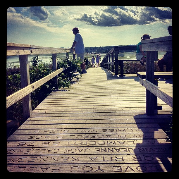
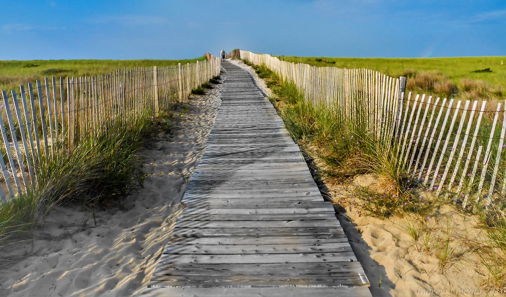
Dad looks at the marshland view from the end of the boardwalk.
Fisheye View
Arrival in Falmouth on Cape Cod
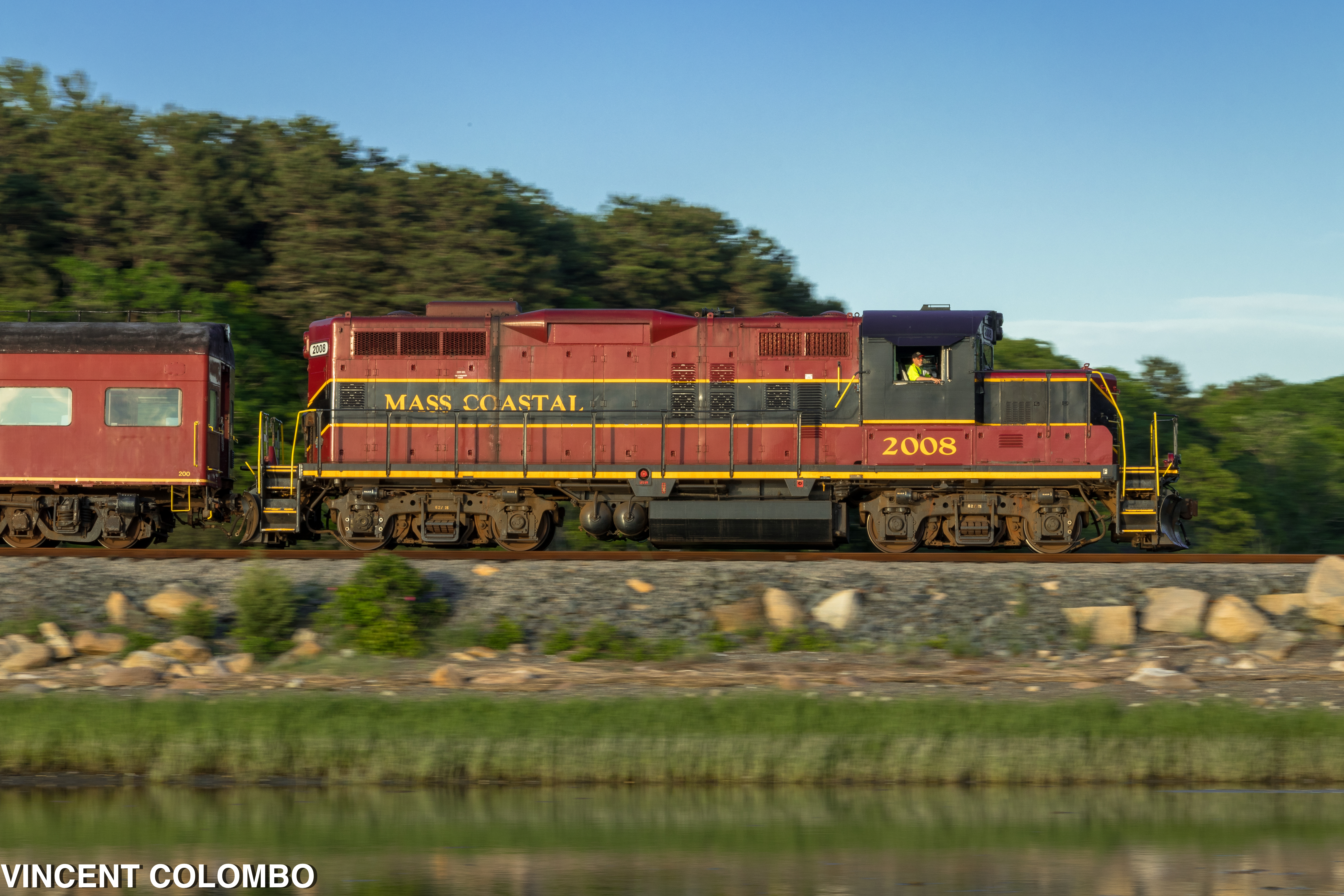
Santa Fe's Cape Cod Subdivision

Painted Bunting

A Little Champagne, and Life would be Perfect!
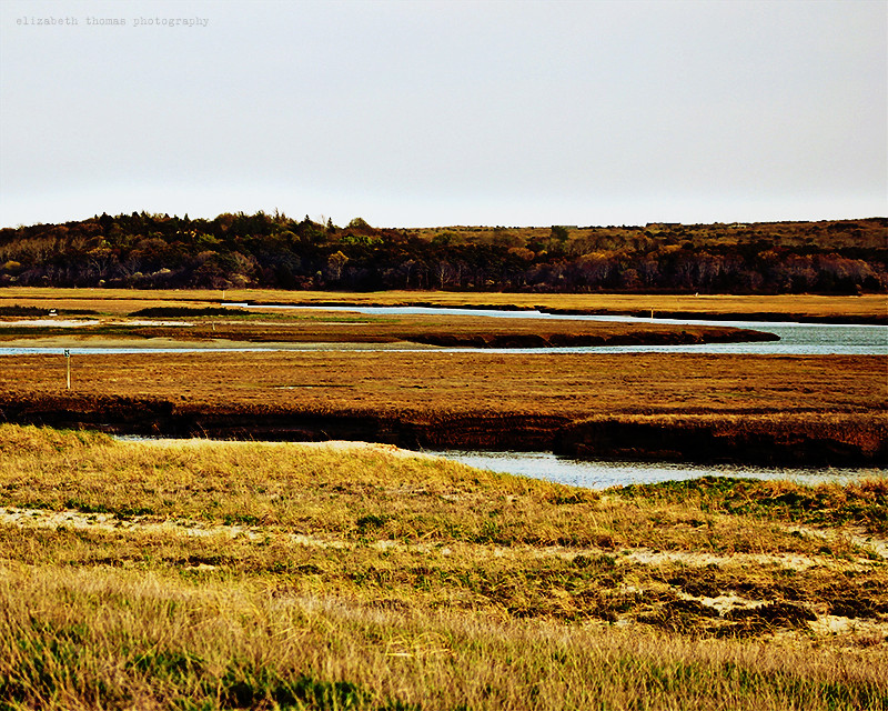
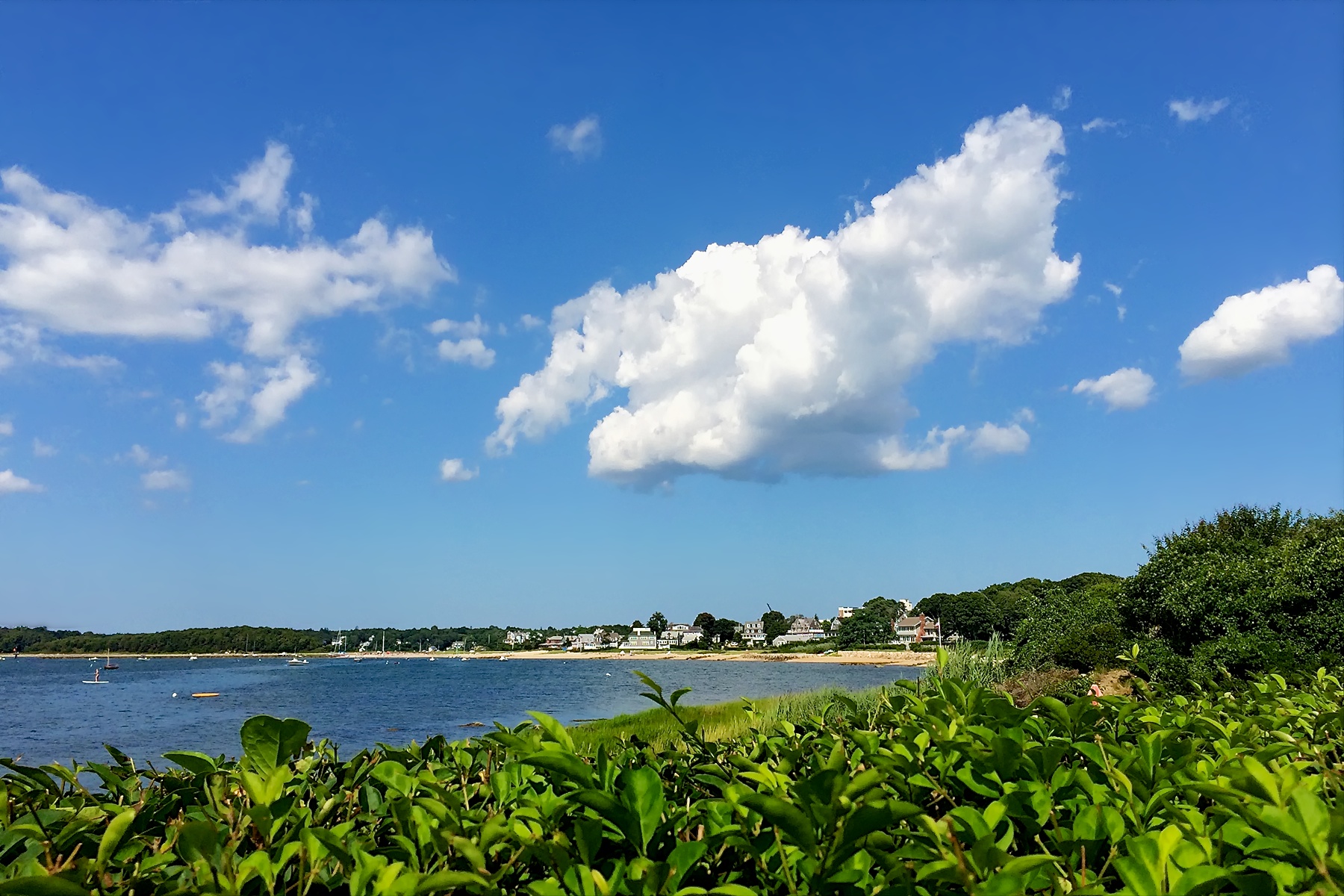
Town Neck Beach Salt Marsh, Cape Cod
Dinner With a View
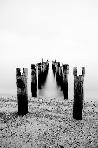
Picked Clean
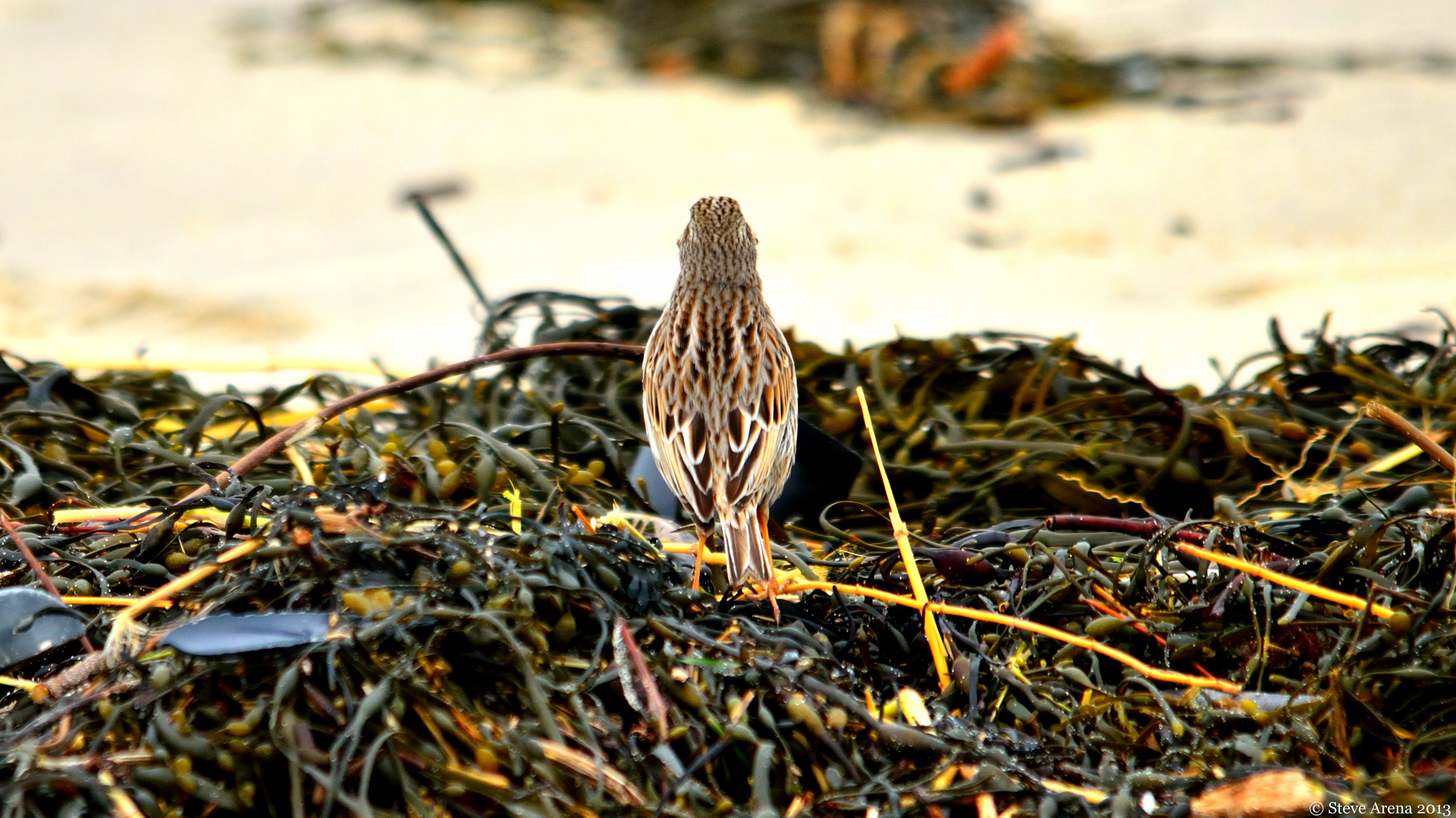
Savannah Sparrow (Passerculus sandwichensis princeps) - Ipswich form - dorsal view
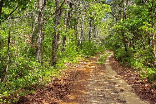
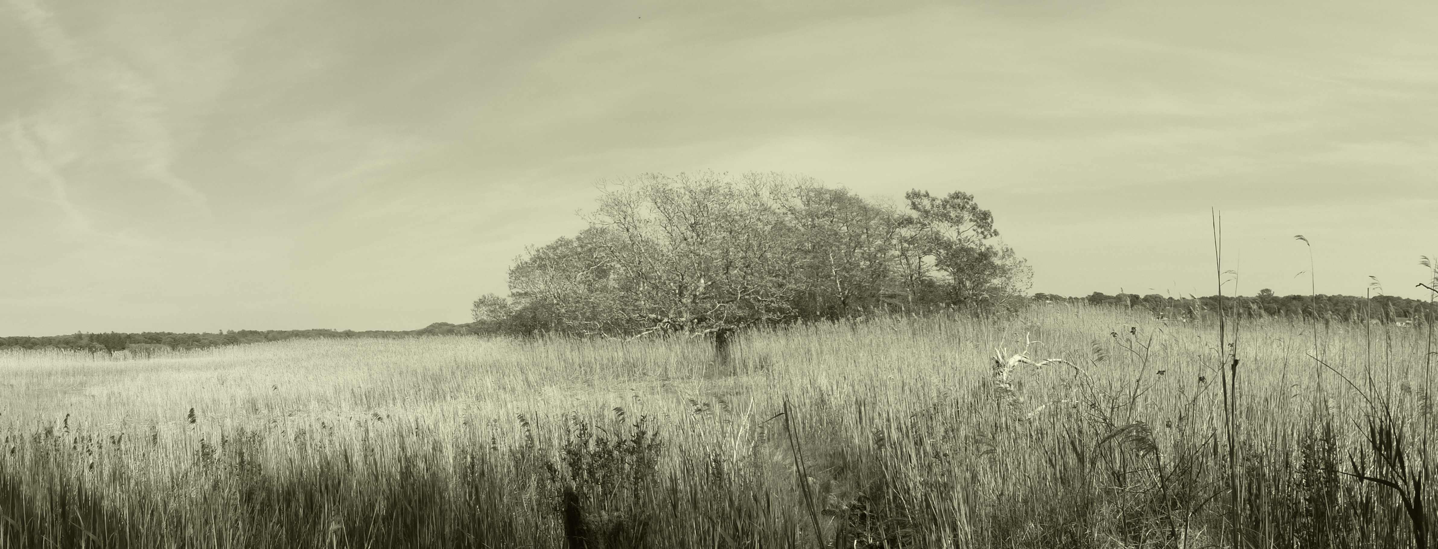
Walk in the woods, Mashpee, Cape Cod

early morning on Eel River
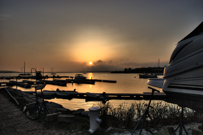
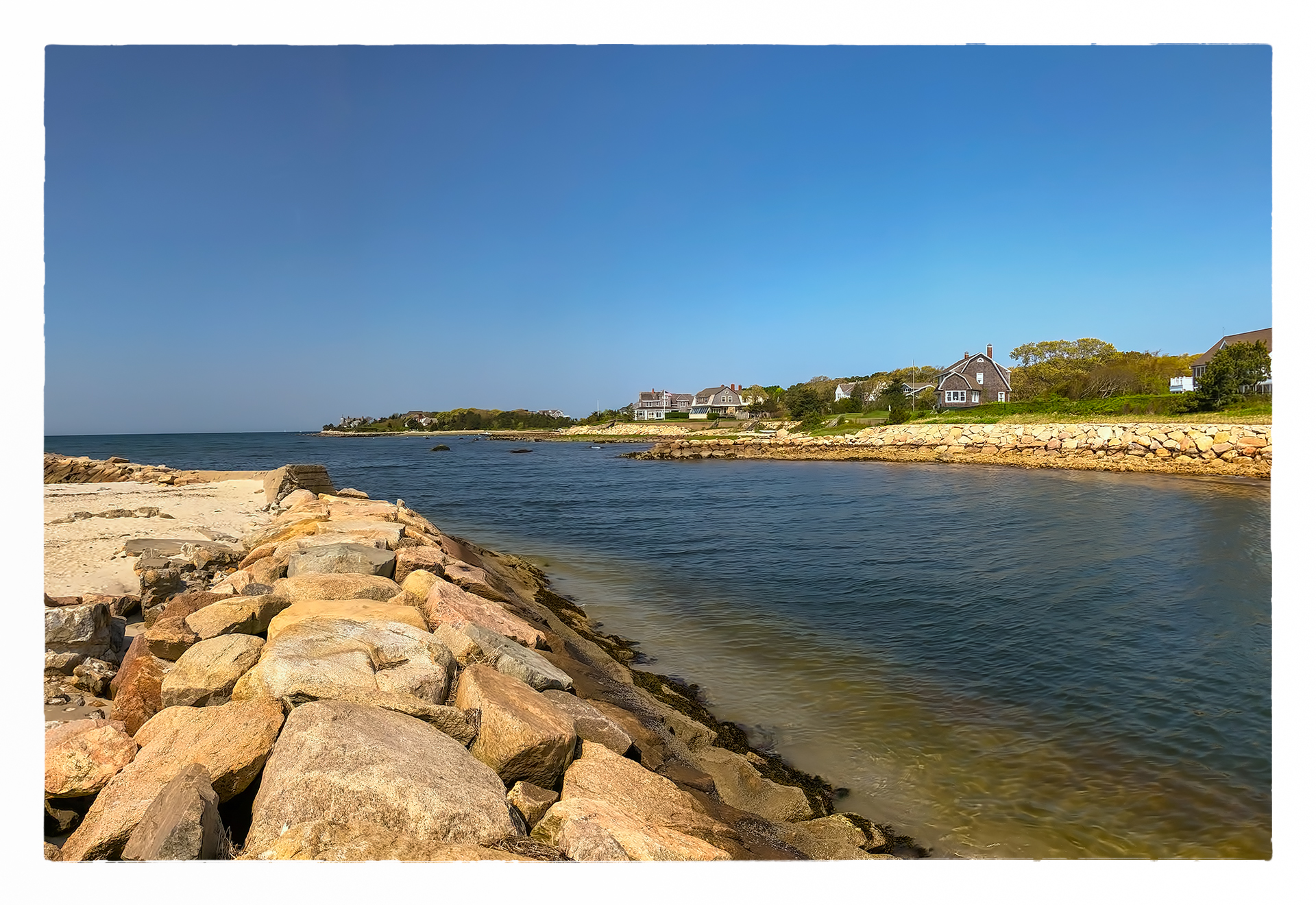
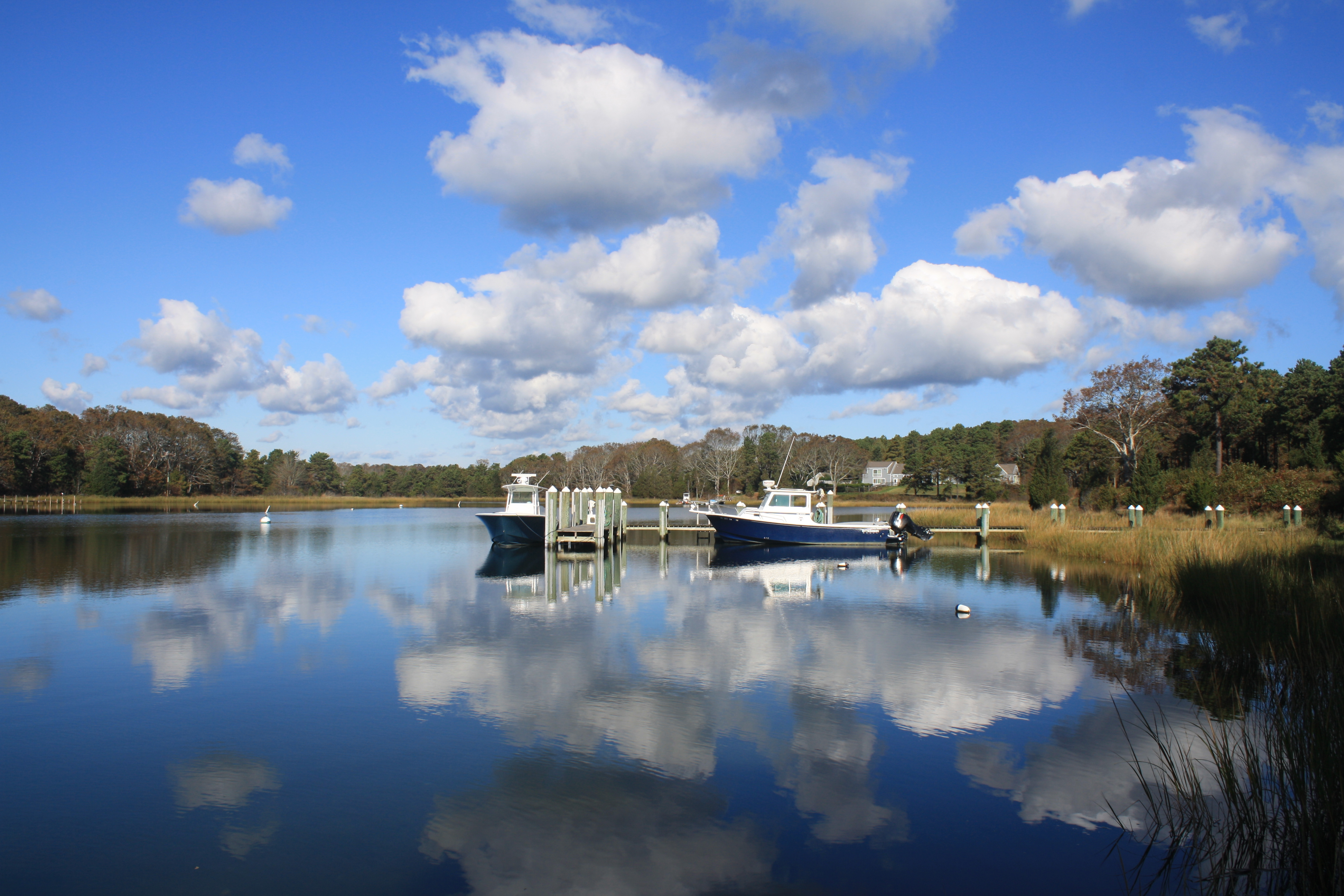
Red Brook Harbor, Cataumet
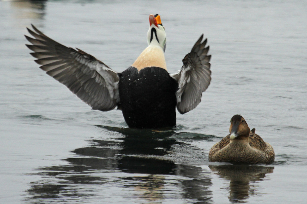
King Eider

Indonesian training ship KRI Dewaruci
sunburst thru the clouds shines on the KRI Dewaruci
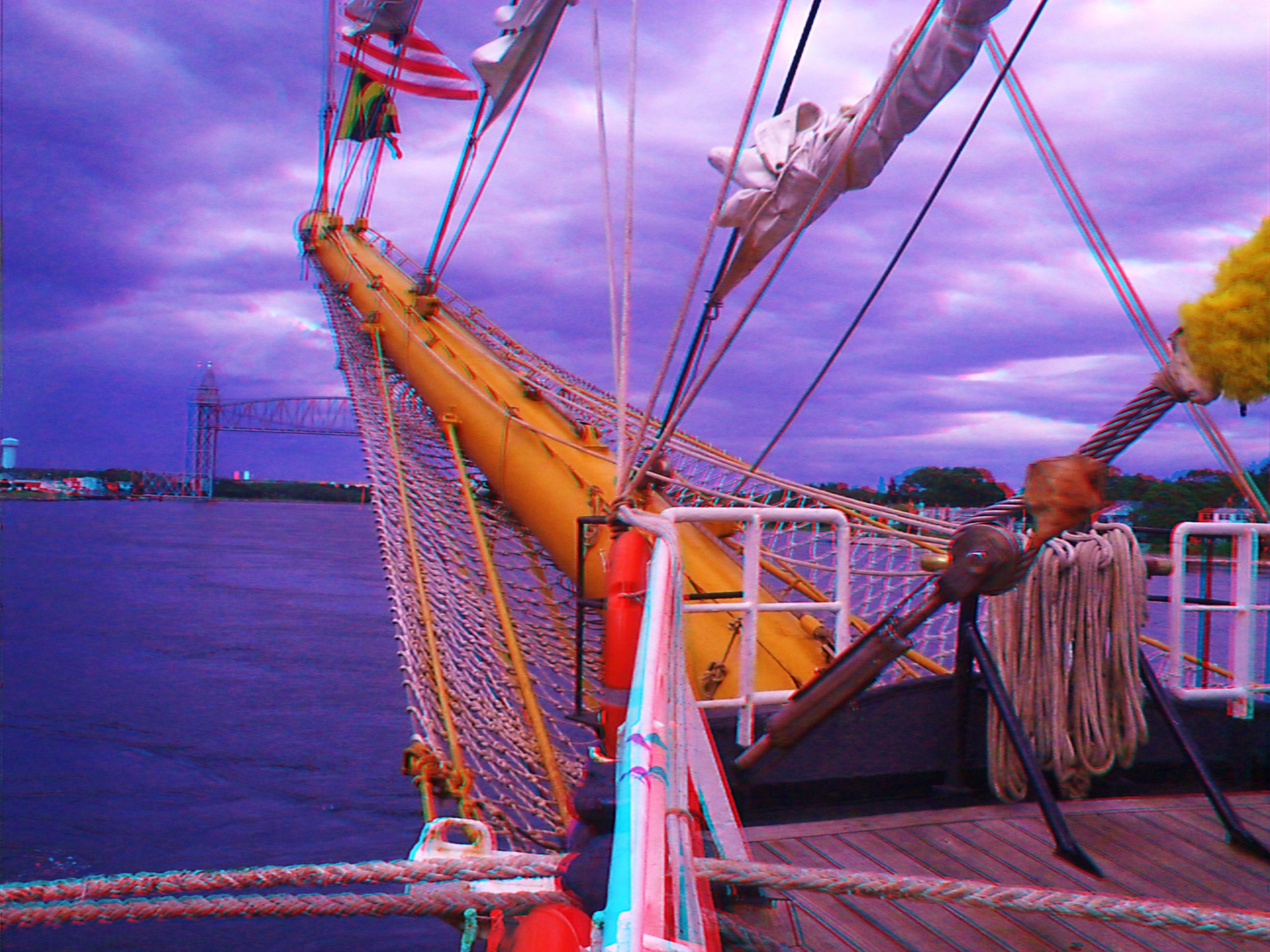
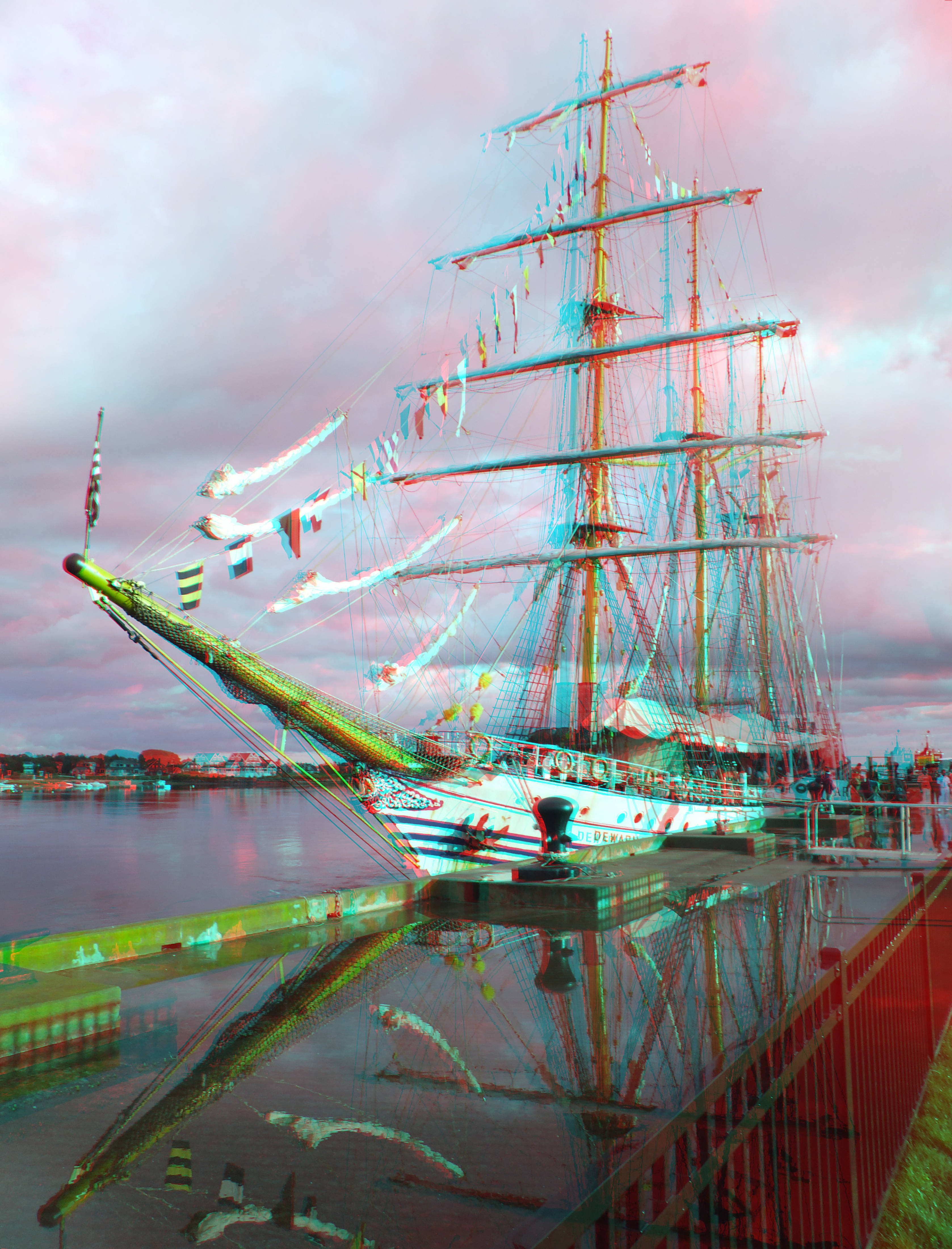
KRI Dewaruci's bow 2

Heading Out
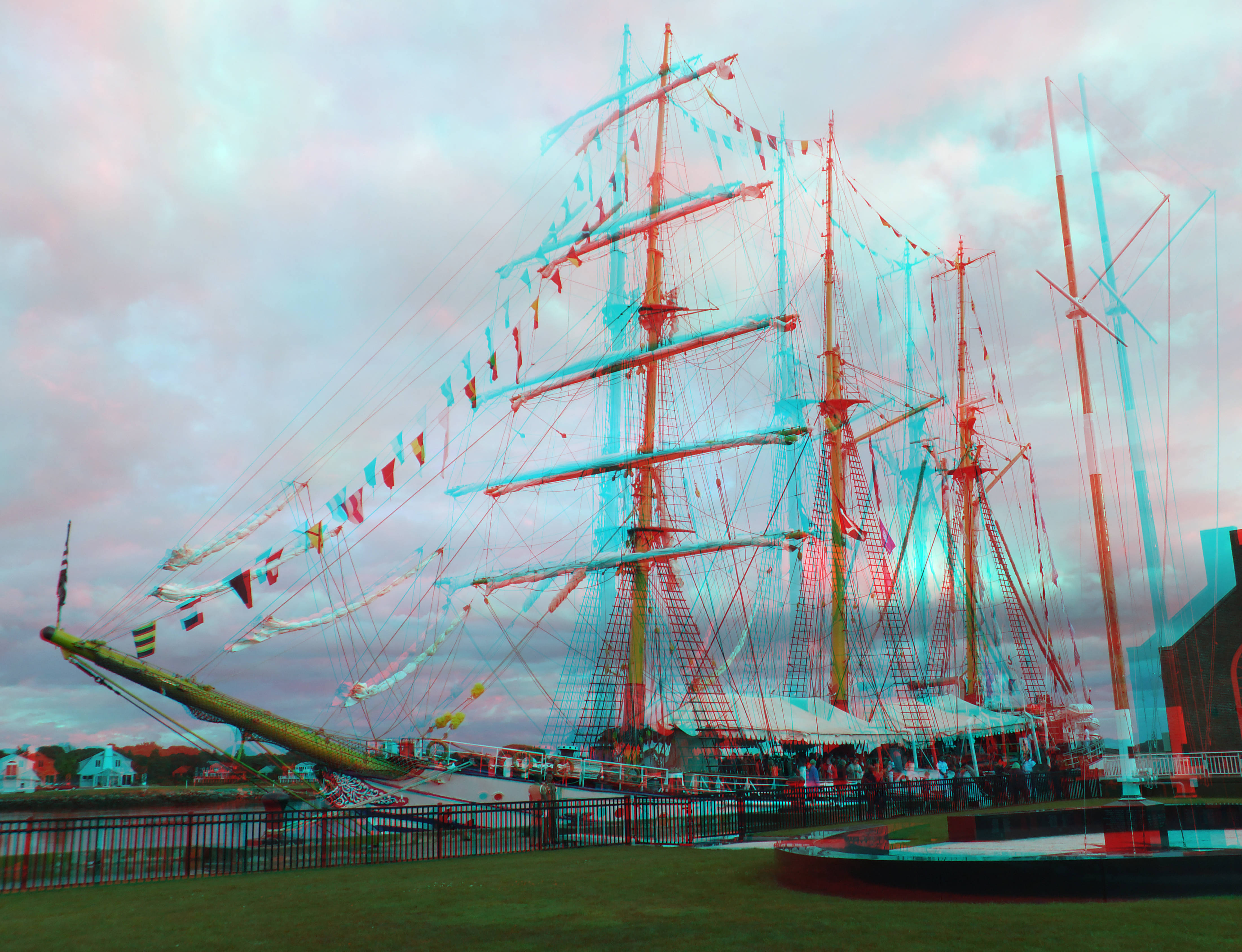
training ship KRI Dewaruci
in the harbor. . . .

Monument Beach Re-edit
2013-01-03 14.48.20
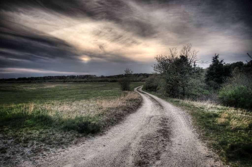
The Lonely Road
Wild Harbor
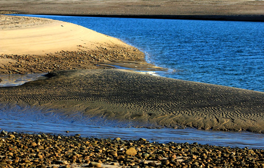
Sandbar Town Neck Beach Cape Cod MA
i can see for miles. . . . .
Fiddler's Cove

87 Seapuit Rd, Aerials (4)

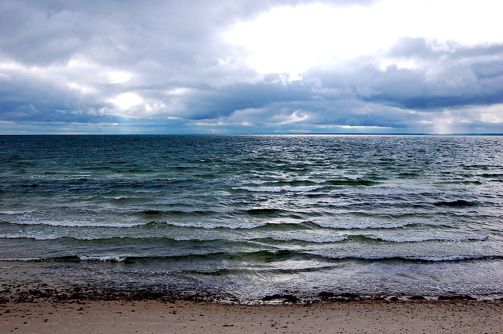
Storm over the Water
Walk to the Beach
Old Silver Beach :: 4:26 p.m.
2010-07-22 18.27.17

Vernal Reflections
Little Oakey Island off Chases Point

December Evening

Cranberry Bog on a June Evening
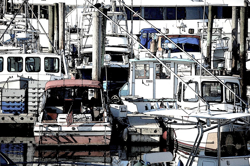
Cape Cod Boats
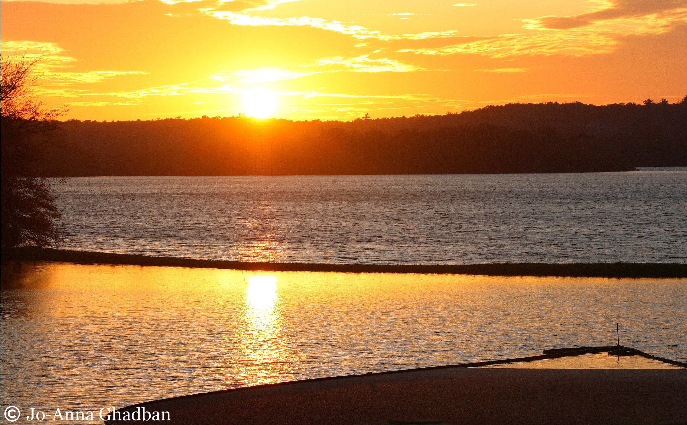
cranberry bog harvest at sunset

02/10/13

monomoscoy sunset #17
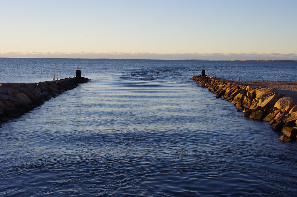
Bournes Pond Inlet
SANDWICH CLOUDS ONE NAE
Topographic Map of Ashumet Rd, Mashpee, MA, USA
Find elevation by address:

Places near Ashumet Rd, Mashpee, MA, USA:
36 Lovells Ln
5 Equestrian Ave
Mashpee
100 Great Neck Rd N
Johns Pond
12 Cypress Circle
10 Rolling Green Ln
33 Snead Dr
23 Sheffield Pl
25 Sheffield Pl
150 Noisy Hole Rd
13 Cayuga Ave
4 Tri-town Cir
275 Cotuit Rd
225 James Cir
142 James Cir
431 Currier Rd
Seaworthy Marine
101 Main St
14 Wags Rd
Recent Searches:
- Elevation of Corso Fratelli Cairoli, 35, Macerata MC, Italy
- Elevation of Tallevast Rd, Sarasota, FL, USA
- Elevation of 4th St E, Sonoma, CA, USA
- Elevation of Black Hollow Rd, Pennsdale, PA, USA
- Elevation of Oakland Ave, Williamsport, PA, USA
- Elevation of Pedrógão Grande, Portugal
- Elevation of Klee Dr, Martinsburg, WV, USA
- Elevation of Via Roma, Pieranica CR, Italy
- Elevation of Tavkvetili Mountain, Georgia
- Elevation of Hartfords Bluff Cir, Mt Pleasant, SC, USA