Elevation of 10 Rolling Green Ln, Mashpee, MA, USA
Location: United States > Massachusetts > Barnstable County > Mashpee >
Longitude: -70.510671
Latitude: 41.623666
Elevation: -10000m / -32808feet
Barometric Pressure: 295KPa
Elevation Map:
Satellite Map:
Related Photos:

Stormy Skies Over the Sandwich Boardwalk"

Fisheye View

After Peebles Elementary School Arbor Day Assembly, school children, GC members, parents , community leaders viewed Aptucxet junior gardeners plant 3 Catalpa saplings, assisted by historian John York

Winter Rentals

Picked Clean
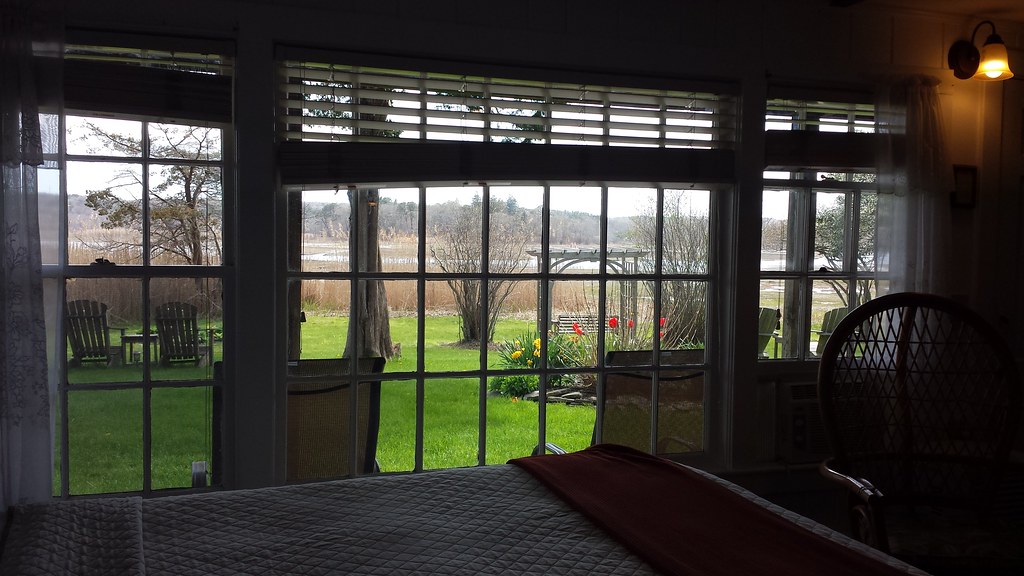
Room with a view.

A Little Champagne, and Life would be Perfect!

Santa Fe's Cape Cod Subdivision

Cape Cod train bridge

Painted Bunting

early morning on Eel River

Grasshopper Sparrow
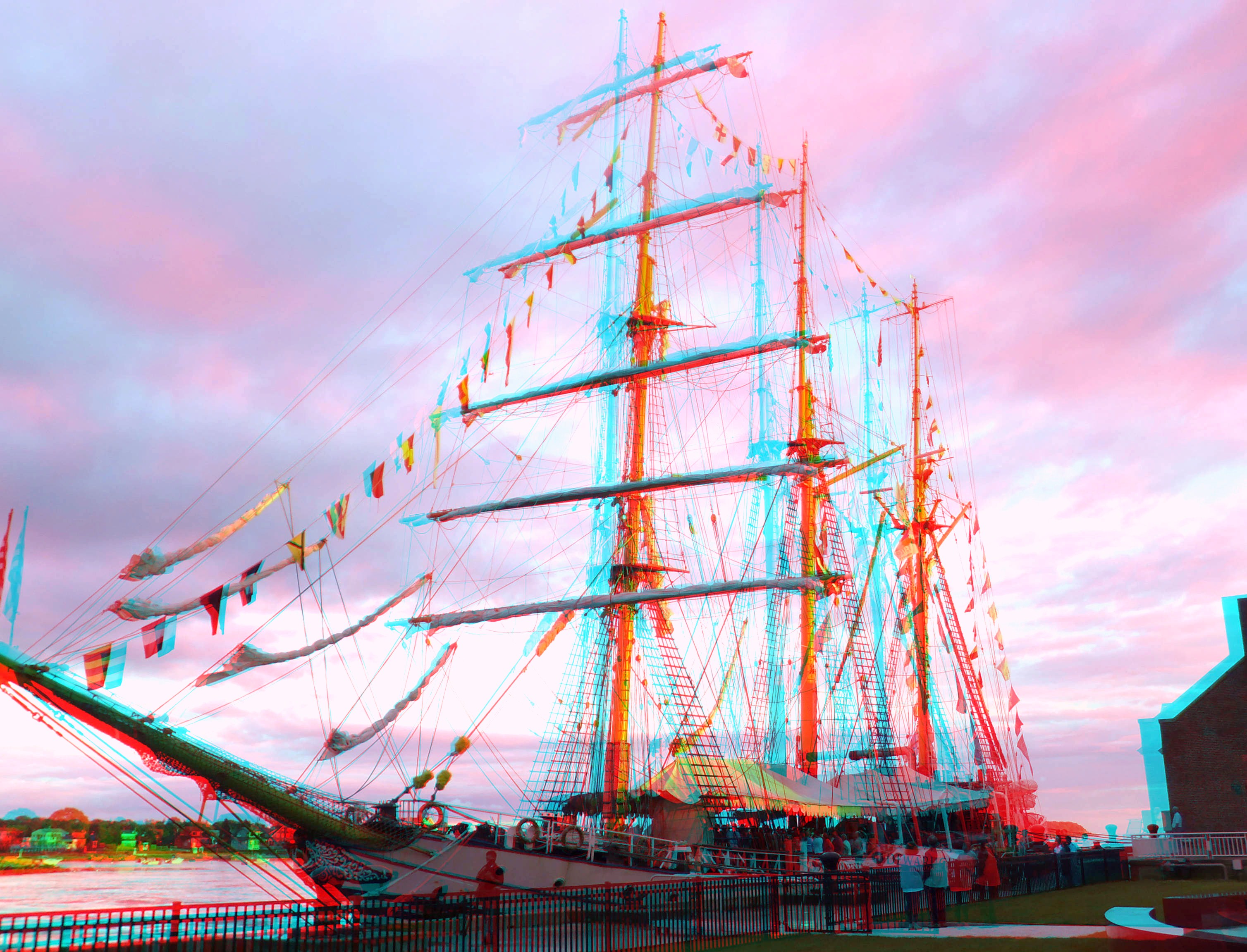
Indonesian training ship KRI Dewaruci

Red Brook Harbor, Cataumet

sunburst thru the clouds shines on the KRI Dewaruci

KRI Dewaruci's bow 2

training ship KRI Dewaruci

Dinner With a View

Grasshopper Sparrow

Grasshopper Sparrow

American Bittern - Mashpee, MA - November 18, 2013
Wild Harbor

Grasshopper Sparrow

cranberry bog harvest at sunset

mark under threatening skies

Cape Cod beach - painting

Ice Cold Splash

2015-08-05 07.12.24 1

i can see for miles. . . . .

Fiddler's Cove

Happy Holidays! #capecod

The Lonely Road

Need A Northbound

DSC_0165.jpg
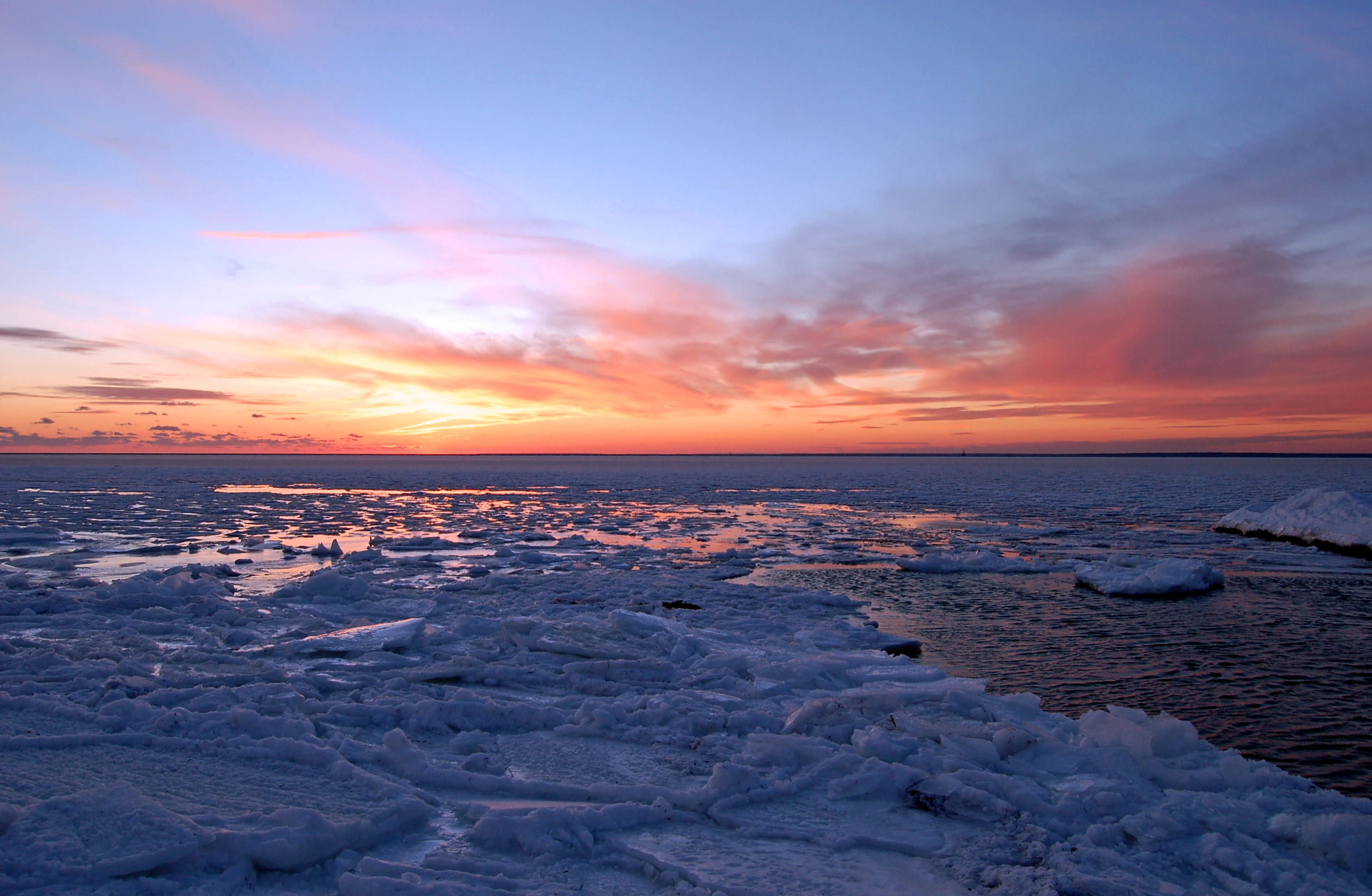
Cape Cod Winter

squall looms above neighborhood bonfire

Storm over the Water

Sandwich Center at Sunset

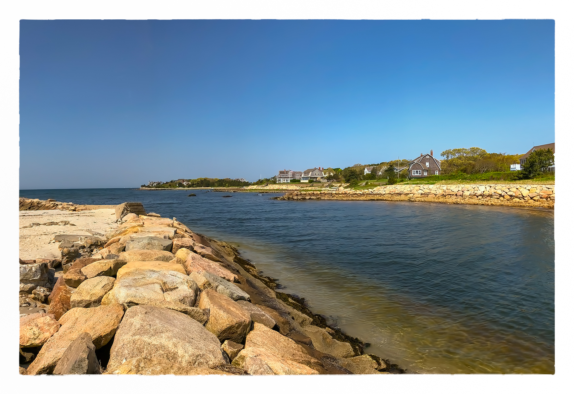
South Cape Beach, Mashpee, Cape Cod

Bournes Pond Inlet

Great Pond

DSC_0049.jpg
Topographic Map of 10 Rolling Green Ln, Mashpee, MA, USA
Find elevation by address:

Places near 10 Rolling Green Ln, Mashpee, MA, USA:
13 Cayuga Ave
Johns Pond
33 Snead Dr
225 James Cir
Old Barnstable Road
142 James Cir
Seaworthy Marine
14 Wags Rd
5 Equestrian Ave
431 Currier Rd
390 Ashumet Rd
4 Tri-town Cir
24 Wood Rd
36 Lovells Ln
21 Bonnie Ln
100 Great Neck Rd N
73 Tasina Dr
Mashpee
27 Ships Lantern Dr
150 Noisy Hole Rd
Recent Searches:
- Elevation of Corso Fratelli Cairoli, 35, Macerata MC, Italy
- Elevation of Tallevast Rd, Sarasota, FL, USA
- Elevation of 4th St E, Sonoma, CA, USA
- Elevation of Black Hollow Rd, Pennsdale, PA, USA
- Elevation of Oakland Ave, Williamsport, PA, USA
- Elevation of Pedrógão Grande, Portugal
- Elevation of Klee Dr, Martinsburg, WV, USA
- Elevation of Via Roma, Pieranica CR, Italy
- Elevation of Tavkvetili Mountain, Georgia
- Elevation of Hartfords Bluff Cir, Mt Pleasant, SC, USA