Elevation of Arvin, CA, USA
Location: United States > California > Kern County >
Longitude: -118.83310
Latitude: 35.2017986
Elevation: 132m / 433feet
Barometric Pressure: 100KPa
Elevation Map:
Satellite Map:
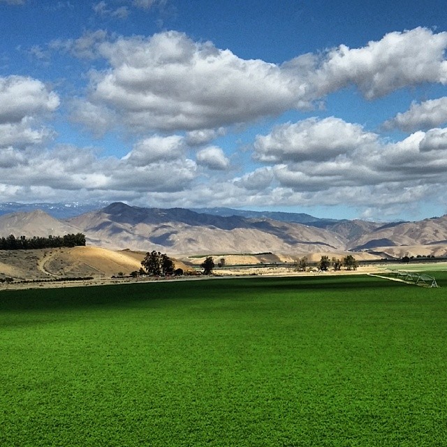
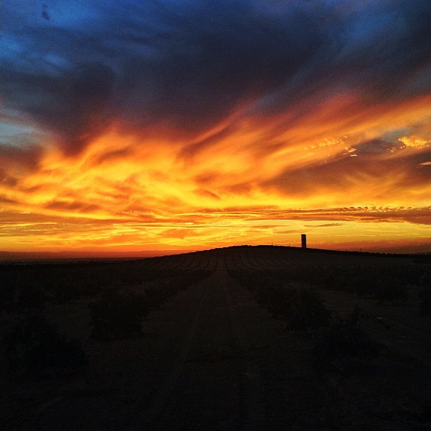
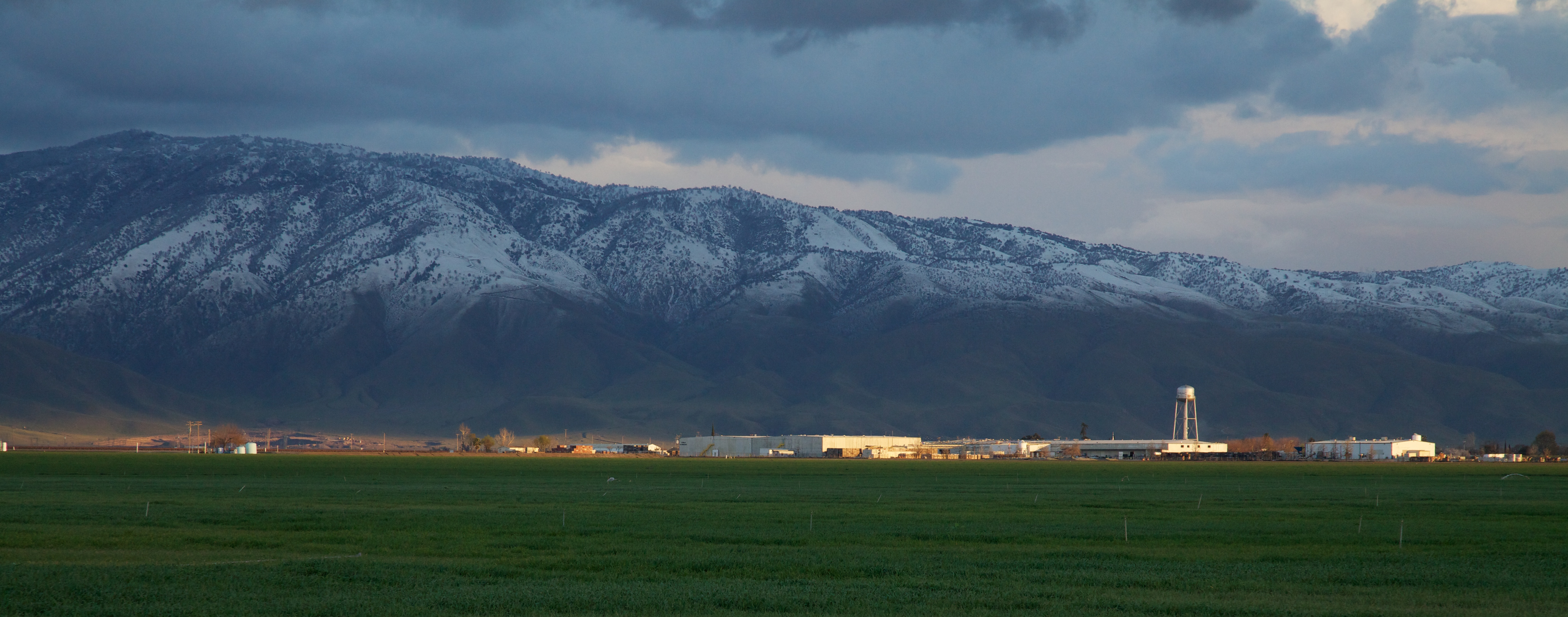
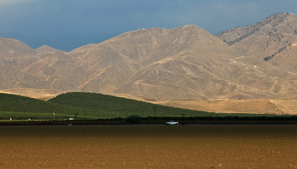
Related Photos:

in sun
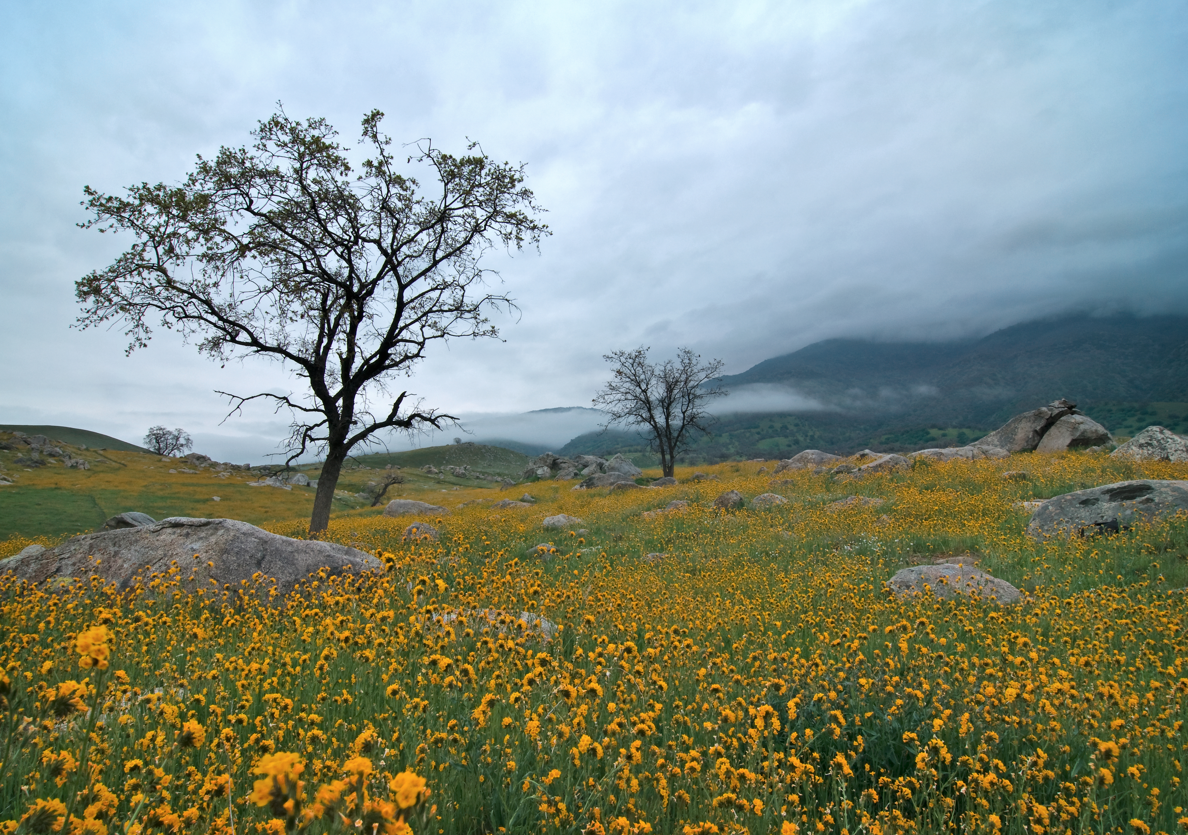
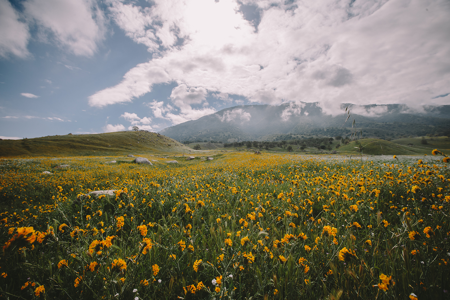
Field of Gold
Red Moss
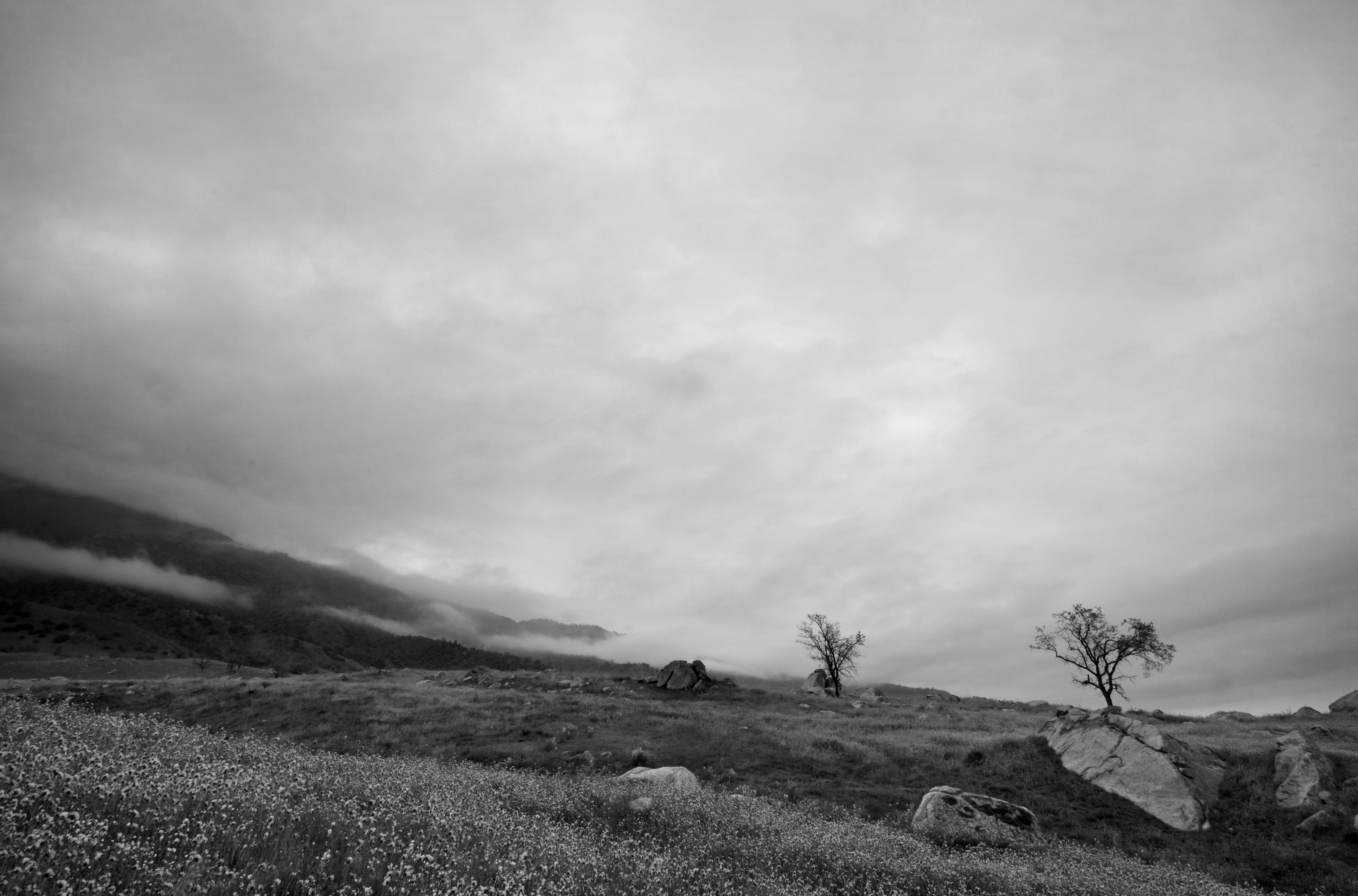
Low Clouds
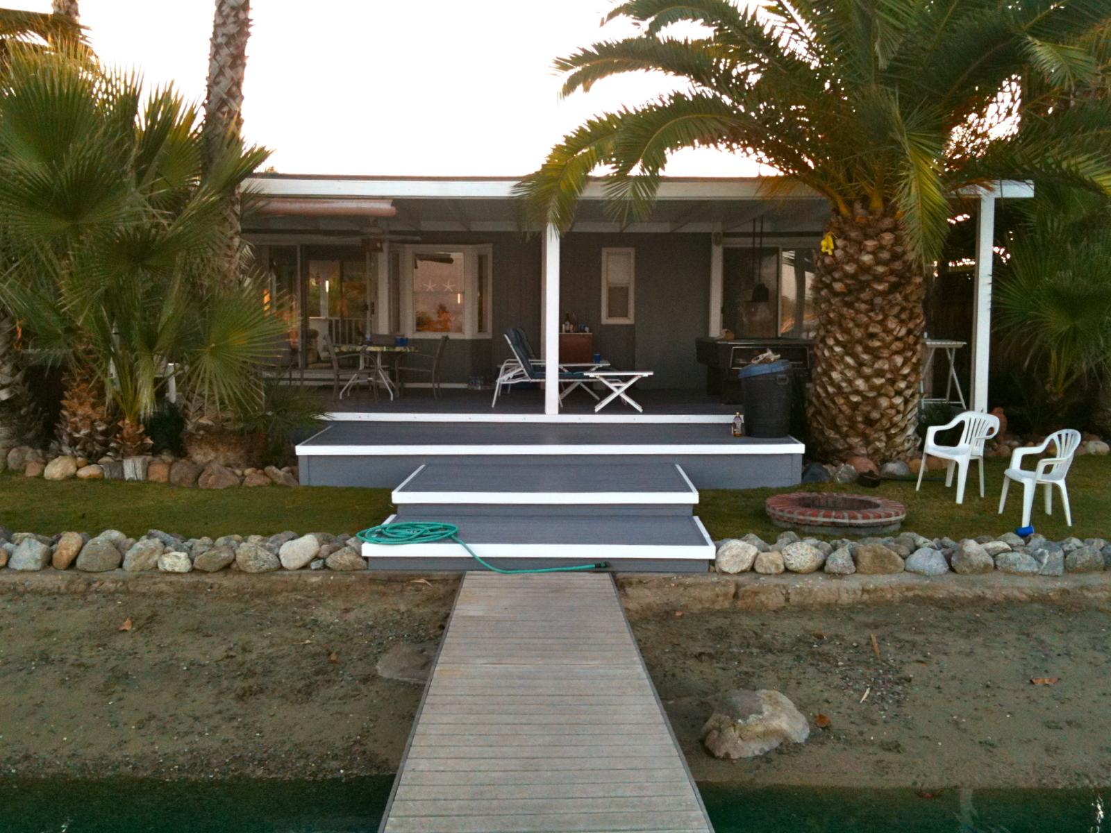
lake house
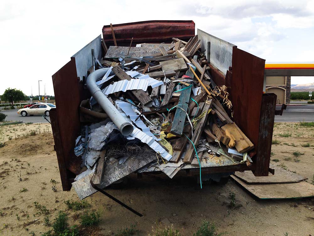
Load of junk
Meet Me By The Old Slaughterhouse...

Frosty king menu
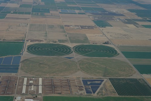
Crop circle ?
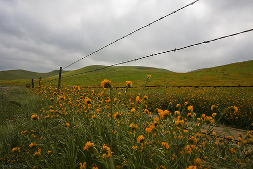
Orange Flowers along the Fence

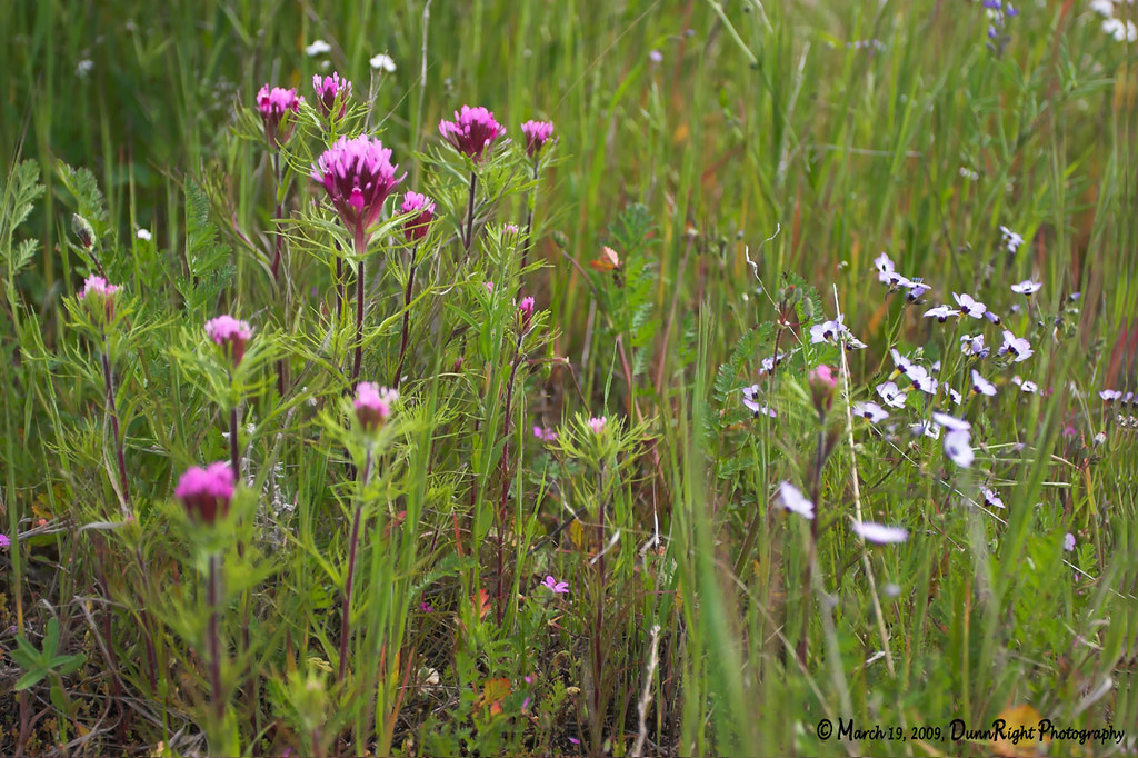
Spring WildFlowers
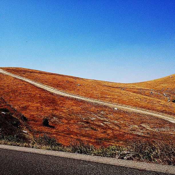
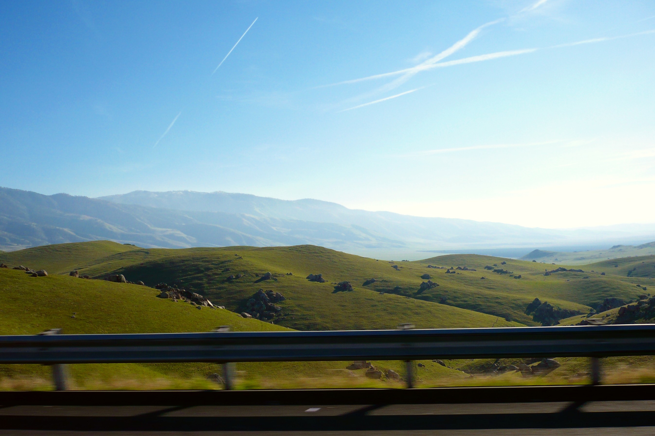
Colors of the highway...
Spring WildFlowers
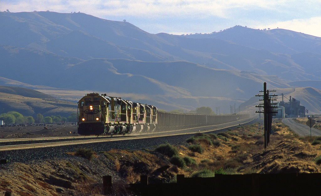
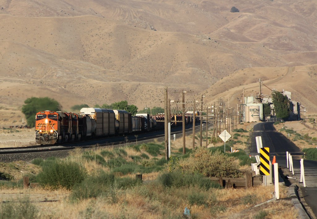
ATSF 5823 west passes Bena
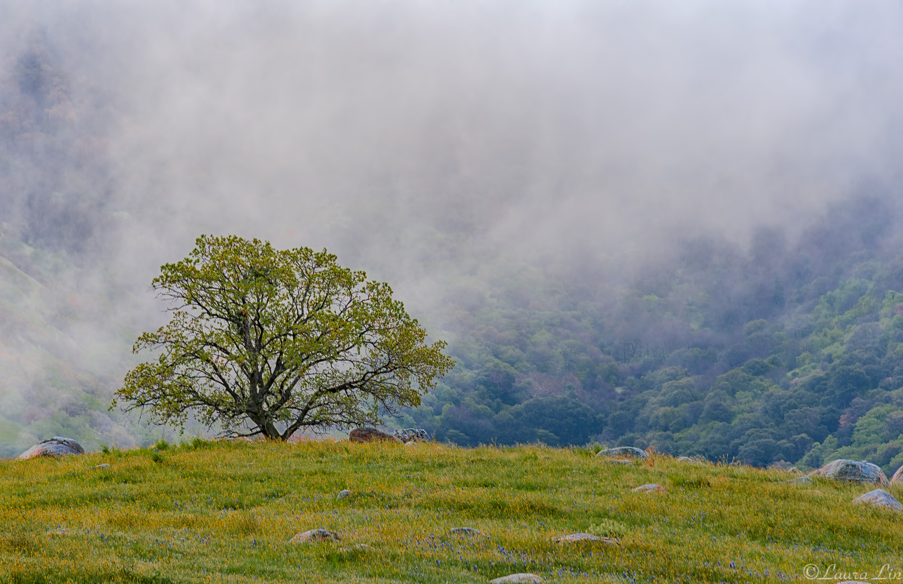
A lone tree (Explored)
#FavoritePlaces
18/365 Amazing sunset this evening! Absolutely gorgeous!
The last rays of the sun

Tumbleweed Farm
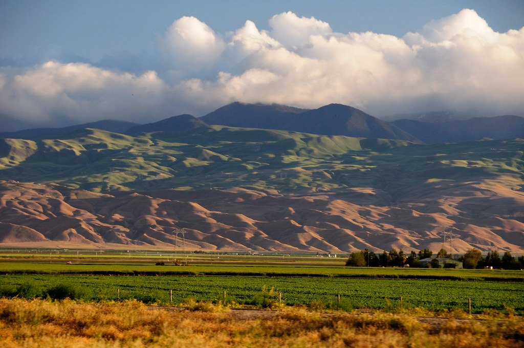
American landscape
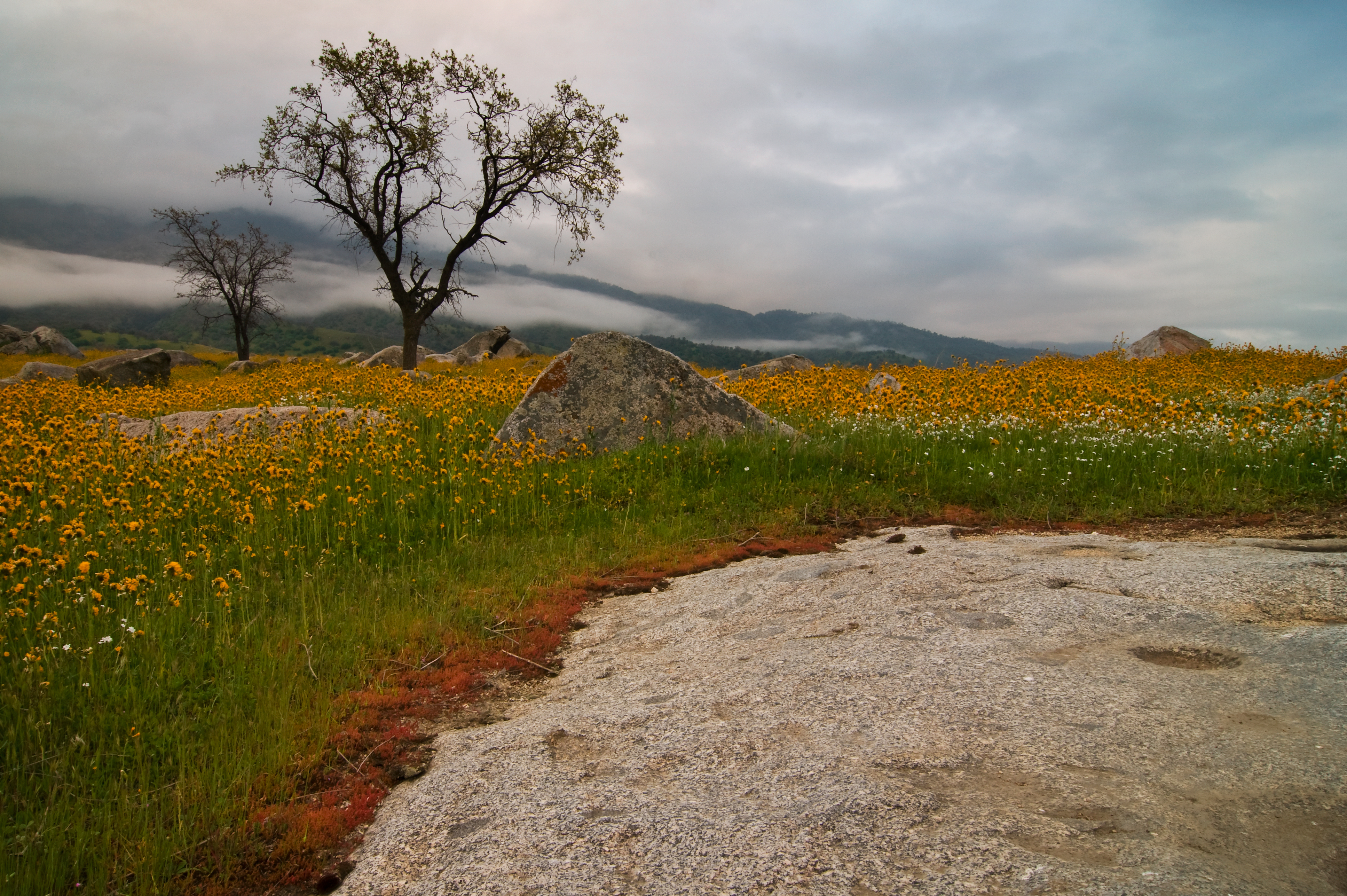
Arvin Wild Flowers 2
spring sunset

No Wildflowers Yet
2010.0224_JTP5456

California 2012 07
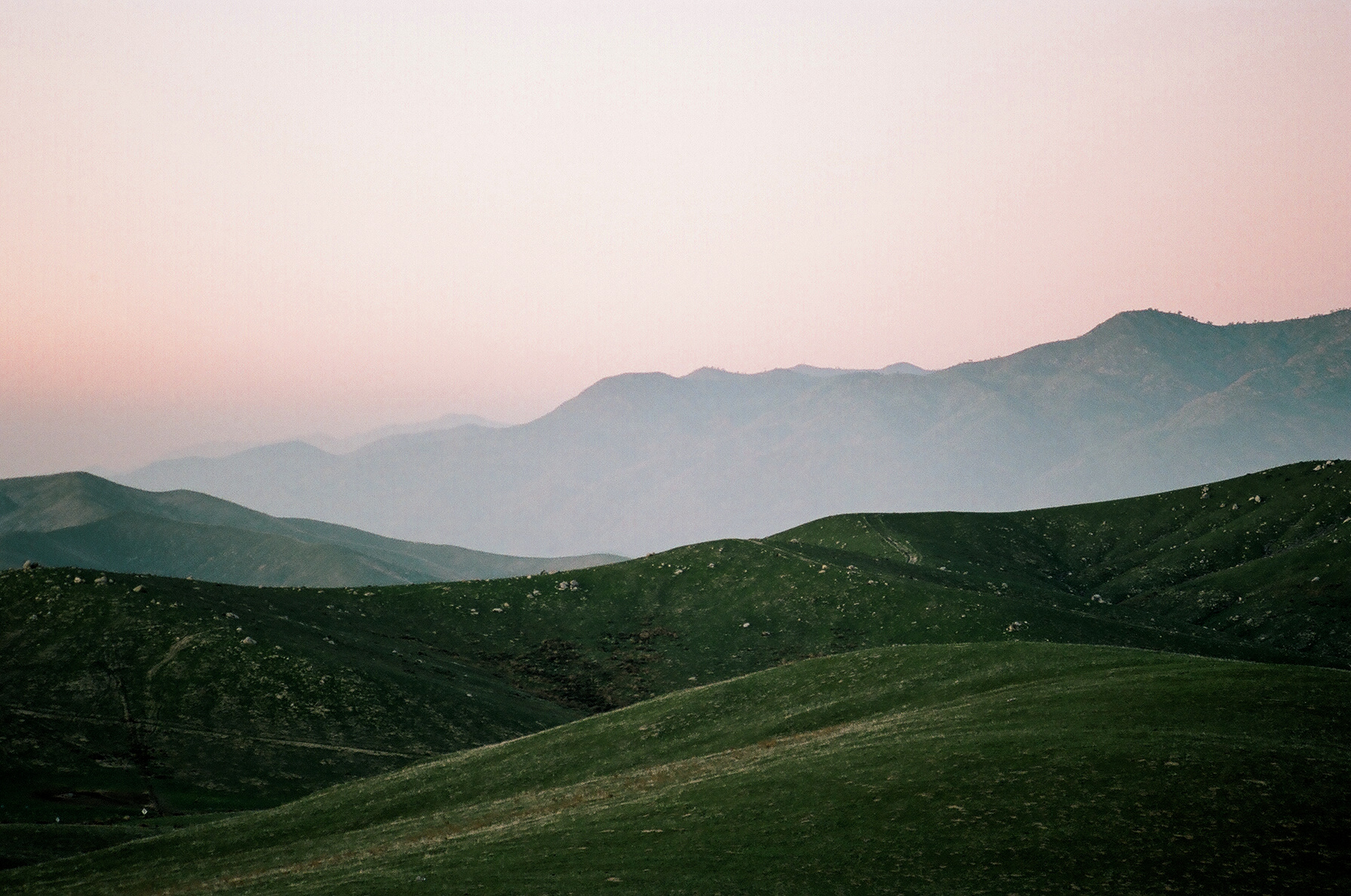
Tehachapi Sky and Hills
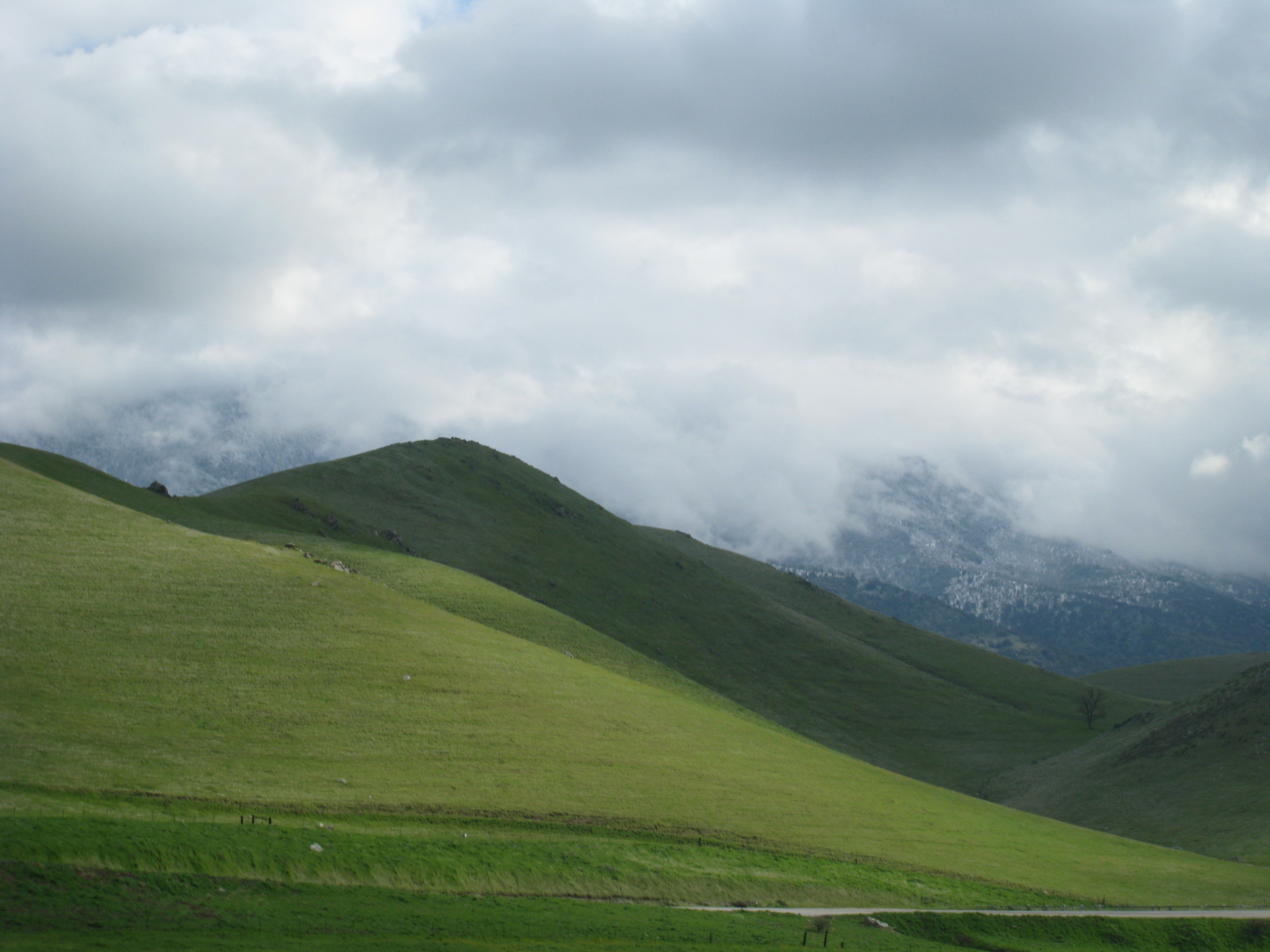
Image 17146.
California State Route 58, Eastbound
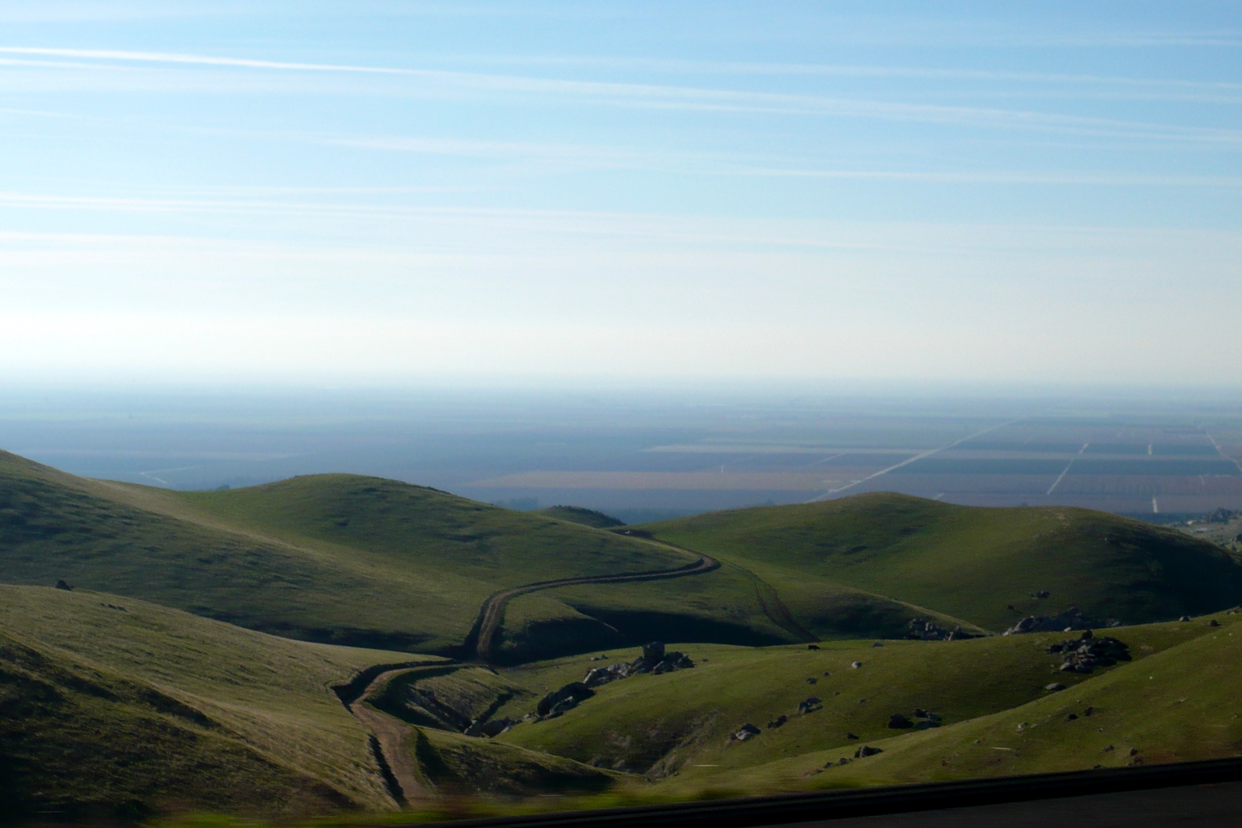
California State Route 58, Eastbound
Topographic Map of Arvin, CA, USA
Find elevation by address:

Places in Arvin, CA, USA:
Di Giorgio Rd, Arvin, CA, USA
Judith St, Arvin, CA, USA
General Beale Road
General Beale Road
California 58
North Rancho Drive
Places near Arvin, CA, USA:
North Rancho Drive
Di Giorgio Rd, Arvin, CA, USA
S Edison Rd, Bakersfield, CA, USA
Buena Vista Blvd, Lamont, CA, USA
Hall Rd, Lamont, CA, USA
Lamont
Fuller Dr, Bakersfield, CA, USA
600 Hosking Ave
Stone Meadows
5512 Marcy St
2709 Tropical Ave
White Ln, Bakersfield, CA, USA
5401 Gasoline Alley Dr
3004 Elmhurst St
Kings Forest Court
Ridgeview Estates
4104 Paramount St
7401 Glitter Way
6353 Megaris Ave
7513 Torrent Way
Recent Searches:
- Elevation of Corso Fratelli Cairoli, 35, Macerata MC, Italy
- Elevation of Tallevast Rd, Sarasota, FL, USA
- Elevation of 4th St E, Sonoma, CA, USA
- Elevation of Black Hollow Rd, Pennsdale, PA, USA
- Elevation of Oakland Ave, Williamsport, PA, USA
- Elevation of Pedrógão Grande, Portugal
- Elevation of Klee Dr, Martinsburg, WV, USA
- Elevation of Via Roma, Pieranica CR, Italy
- Elevation of Tavkvetili Mountain, Georgia
- Elevation of Hartfords Bluff Cir, Mt Pleasant, SC, USA