Elevation of Arenac County, MI, USA
Location: United States > Michigan >
Longitude: -83.677392
Latitude: 43.9973355
Elevation: 177m / 581feet
Barometric Pressure: 99KPa
Elevation Map:
Satellite Map:
Related Photos:
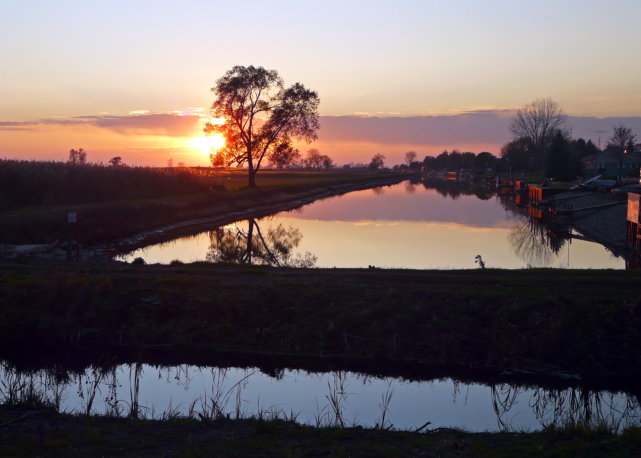
Sunset Near Point Au Gres on Lake Huron

Au Gres Pedestrian Bridge

Dock view

Volleyball sky

Au Gres, Michigan

Ice Fishermen

Volleyball serve

The dock

Lake Huron

Golf Course Sunrise Side Michigan
Topographic Map of Arenac County, MI, USA
Find elevation by address:

Places in Arenac County, MI, USA:
Whitney Township
Clayton Township
Saginaw St, Sterling, MI, USA
Standish
Au Gres Township
Moffatt Township
Places near Arenac County, MI, USA:
2216 Bay Ridge Dr
2216 Bay Ridge Dr
Au Gres
Au Gres Township
Wigwam Bay State Wildlife Area
Whitney Township
N U.S. 23, Au Gres, MI, USA
N Huron Rd, Au Gres, MI, USA
4958 Lakeside Dr
Lakeside Drive
Douglas Dr, Tawas City, MI, USA
Standish
Sunset Blvd, Pigeon, MI, USA
Maloney Rd, Pinconning, MI, USA
Caseville Township
Pinconning Township
Sage Lake Rd, Prescott, MI, USA
Tawas City
Prescott
701 Cedar St
Recent Searches:
- Elevation of Corso Fratelli Cairoli, 35, Macerata MC, Italy
- Elevation of Tallevast Rd, Sarasota, FL, USA
- Elevation of 4th St E, Sonoma, CA, USA
- Elevation of Black Hollow Rd, Pennsdale, PA, USA
- Elevation of Oakland Ave, Williamsport, PA, USA
- Elevation of Pedrógão Grande, Portugal
- Elevation of Klee Dr, Martinsburg, WV, USA
- Elevation of Via Roma, Pieranica CR, Italy
- Elevation of Tavkvetili Mountain, Georgia
- Elevation of Hartfords Bluff Cir, Mt Pleasant, SC, USA