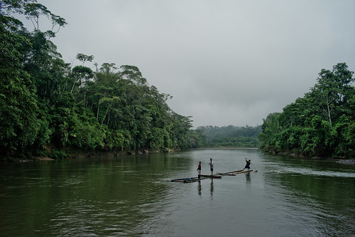
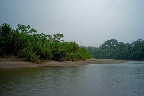
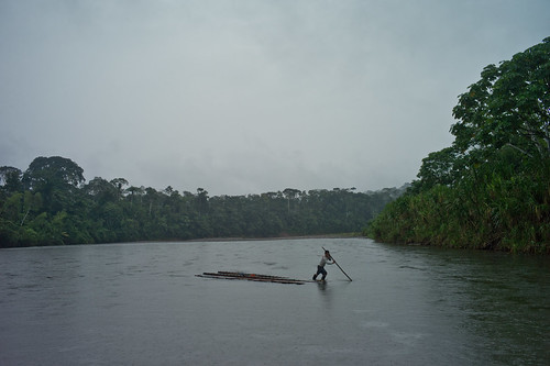
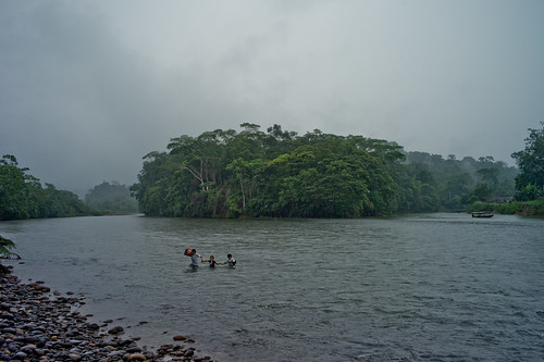
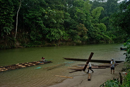
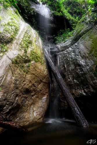
Elevation of Arajuno Canton, Ecuador
Location: Ecuador > Pastaza Province >
Longitude: -77.681351
Latitude: -1.241342
Elevation: 543m / 1781feet
Barometric Pressure: 95KPa
Related Photos:
Topographic Map of Arajuno Canton, Ecuador
Find elevation by address:

Places near Arajuno Canton, Ecuador:
El Capricho
Puerto Napo
Ahuano
Tena
Tena Cell
Carlos Julio Arosemena Tola
Archidona
Cotundo
Huasquila Amazon Lodge
Archidona Canton
Baños Canton
Wildsumaco Lodge
El Pailon Del Diablo
Napo
Cabañas San Isidro
Cosanga
Vía Baños Puyo
Volcan Sumaco
Ulba
Luna Runtun, Adventure Spa
Recent Searches:
- Elevation of Corso Fratelli Cairoli, 35, Macerata MC, Italy
- Elevation of Tallevast Rd, Sarasota, FL, USA
- Elevation of 4th St E, Sonoma, CA, USA
- Elevation of Black Hollow Rd, Pennsdale, PA, USA
- Elevation of Oakland Ave, Williamsport, PA, USA
- Elevation of Pedrógão Grande, Portugal
- Elevation of Klee Dr, Martinsburg, WV, USA
- Elevation of Via Roma, Pieranica CR, Italy
- Elevation of Tavkvetili Mountain, Georgia
- Elevation of Hartfords Bluff Cir, Mt Pleasant, SC, USA
