Elevation of AR-, Taylor, AR, USA
Location: United States > Arkansas > Lafayette County > Walker Creek Township >
Longitude: -93.511714
Latitude: 33.1150649
Elevation: 73m / 240feet
Barometric Pressure: 100KPa
Elevation Map:
Satellite Map:
Related Photos:
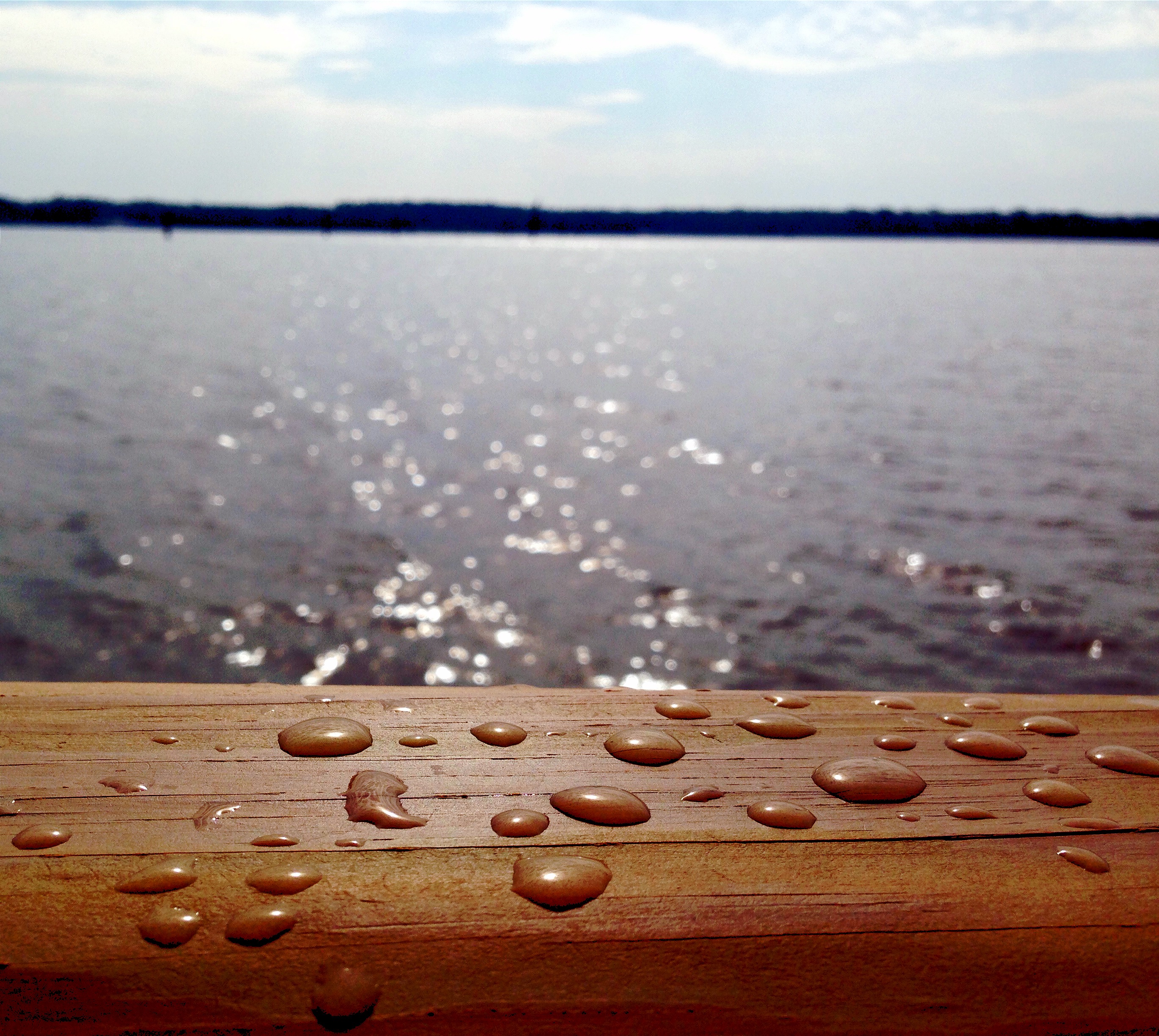
Drops of Jupiter?
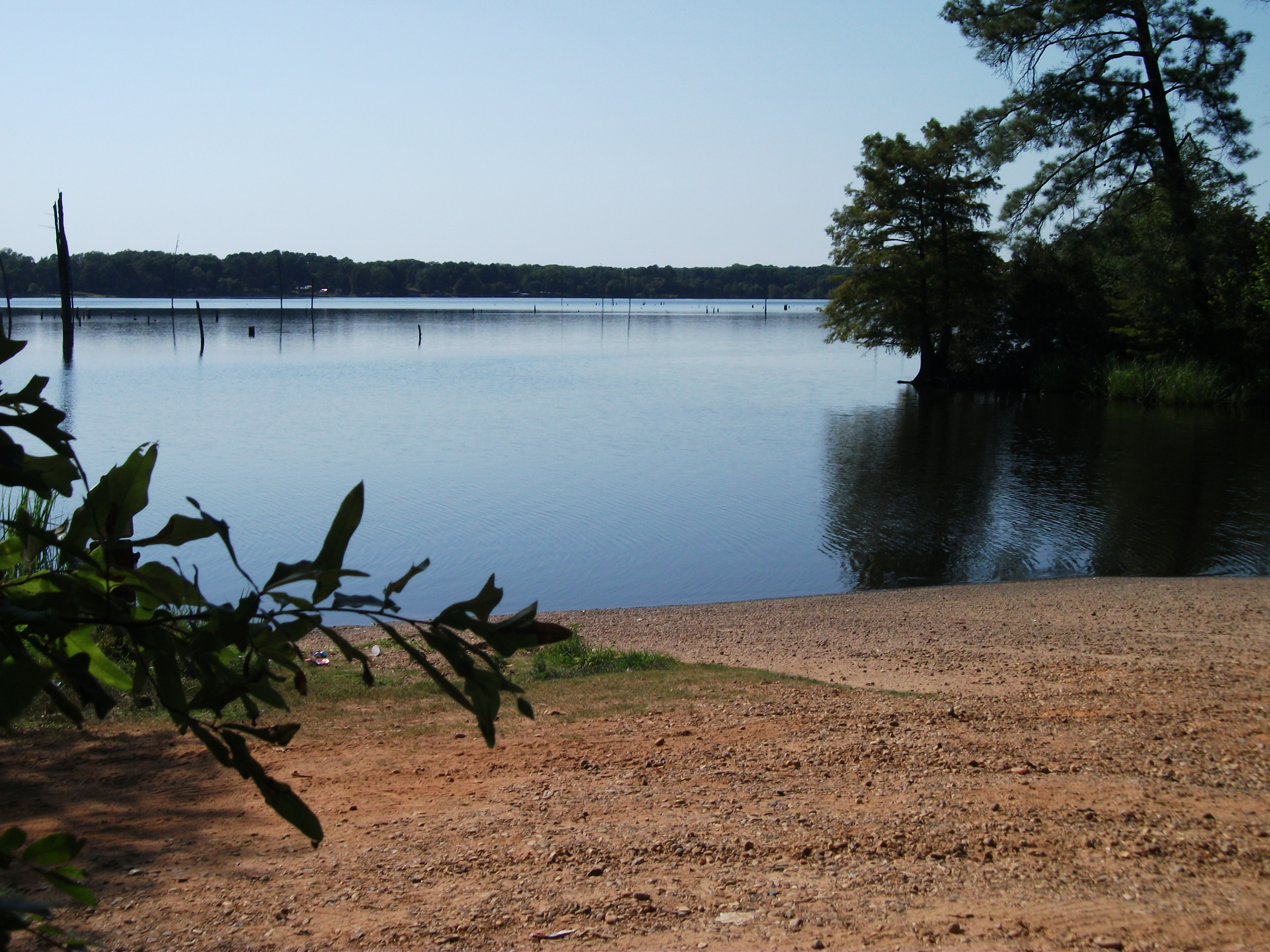
Lake Erling - boat ramp
Not here
Dried up Swamp
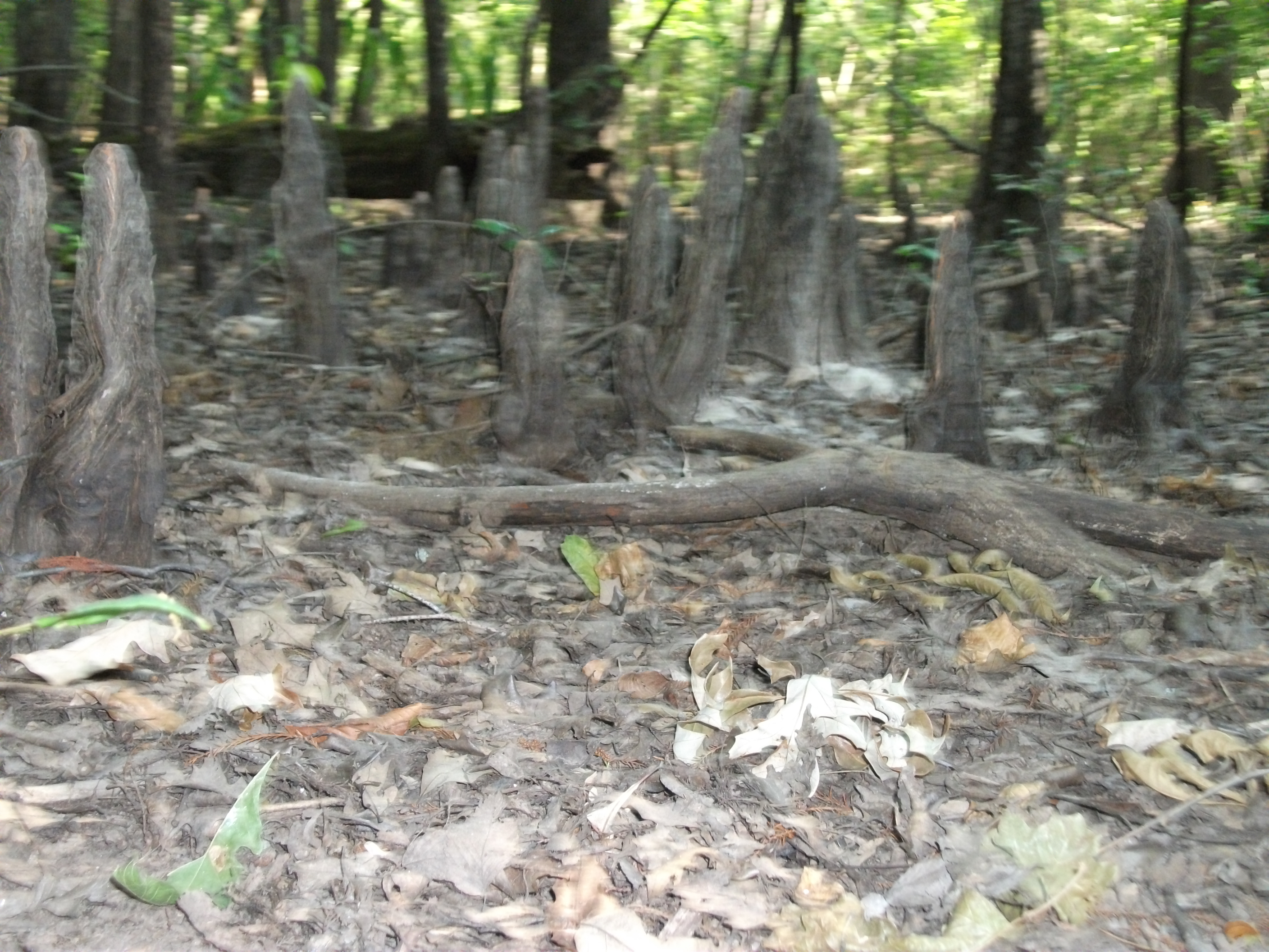
Dried up Swamp

Boom or Bust Byway: Spring Theatre in Springhill

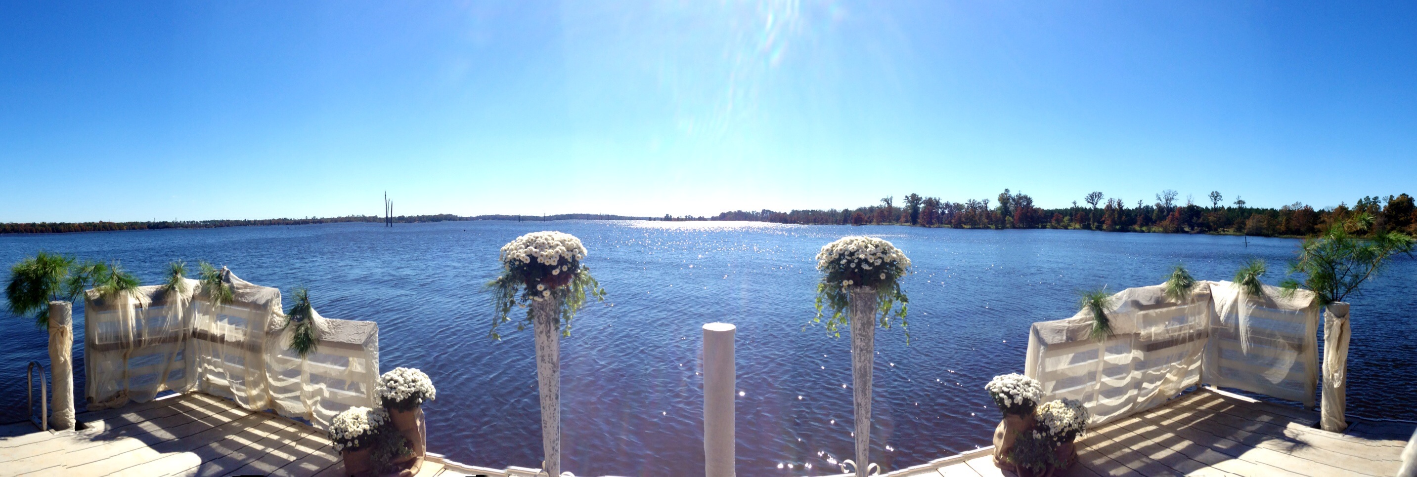
Lake Erling, Arkansas
I'm not going to call him dad. Never! Not even if there's a fire!

❤❤❤❤❤❤ #turkeyday #usa
Topographic Map of AR-, Taylor, AR, USA
Find elevation by address:

Places near AR-, Taylor, AR, USA:
Taylor
Walker Creek Township
Taylor Township
US-, Taylor, AR, USA
B and S Dr, Springhill, LA, USA
Columbia Rd 19, Taylor, AR, USA
Columbia Rd 1, Stamps, AR, USA
Center Park Dr, Springhill, LA, USA
AR-, Lewisville, AR, USA
County Rd 36, Stamps, AR, USA
Bradley
M.L.K. Jr. Dr, Springhill, LA, USA
Columbia Road 15, Magnolia, AR, USA
Mars Hill Township
AR-, Bradley, AR, USA
Lafayette County
Porterville Rd, Sarepta, LA, USA
Roane Township
3, LA, USA
US-, Magnolia, AR, USA
Recent Searches:
- Elevation of Corso Fratelli Cairoli, 35, Macerata MC, Italy
- Elevation of Tallevast Rd, Sarasota, FL, USA
- Elevation of 4th St E, Sonoma, CA, USA
- Elevation of Black Hollow Rd, Pennsdale, PA, USA
- Elevation of Oakland Ave, Williamsport, PA, USA
- Elevation of Pedrógão Grande, Portugal
- Elevation of Klee Dr, Martinsburg, WV, USA
- Elevation of Via Roma, Pieranica CR, Italy
- Elevation of Tavkvetili Mountain, Georgia
- Elevation of Hartfords Bluff Cir, Mt Pleasant, SC, USA